Parking
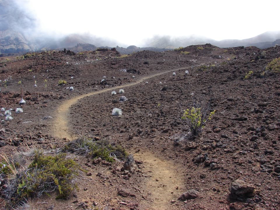
Start at Keoneheʻeheʻe Trailhead in the Haleakalā Visitor Center parking lot, beside the road. Drinking water and restrooms are available at the visitor center; there is no food or gas for sale in the park.
#9 of 17 trails in Haleakalā
Haleakalā National Park, HI
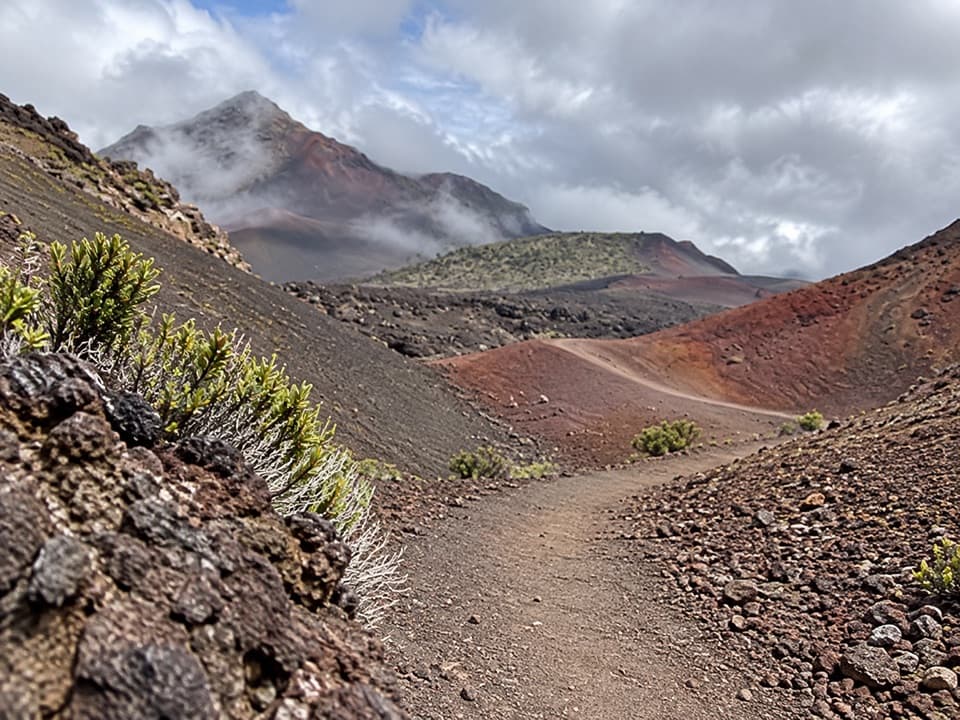
Circle two vivid cinder cones, then climb back to the rim.
Overview
Halāliʻi and Puʻunaue is a full-day, about 12.6-mile loop from the Keoneheʻeheʻe (Sliding Sands) Trailhead. The route drops into Haleakalā’s summit valley, leaves the main path to circle between two multicolored cinder cones, then rejoins the trail for the climb back. Allow about eight to nine hours. Some route descriptions give 13.6 miles for a longer or differently traced version; this itinerary follows the marked loop shown around the cones.
 Parkwolf’s verdictIs this the crater hike for you?
Map & elevation
Plan your hike

The highest, rockiest slopes around here are a summer buffet for grizzly bears.
Haleakalā Tour Guide
Parkwolf is a GPS audio tour guide for Haleakalā National Park. As you drive, it chimes in with what’s ahead: hidden gems, upcoming stops, history, geology, and wildlife, right through your car’s speakers.
Recorded for this trailhead
Haleakalā Visitor Center“Up ahead is Haleakalā Visitor Center, with a crater view right beside the building. Go to the railing first, especially if time is short; you don't need a hike for this stop.”
Plays as you drive up to this trailhead in the Parkwolf Haleakalā Tour Guide.
More stories near here in the app
“Fantastic app with many points of information… It’s great to just turn on while you’re driving and it gives you an audio tour of the national Park. We love it!!!!”


Trail guide
The first 3.9 miles descend from the visitor-center area toward the valley floor. The loose cinder can feel like walking on a beach, and the trail is exposed to sun and wind. At the valley floor, follow the marked branch around Halāliʻi and Puʻunaue, then rejoin Keoneheʻeheʻe near Kapalaoa before climbing back to the start. The long descent can make the return feel deceptively far away: you gain back nearly 2,500 feet, and high altitude slows the work. Turnaround distance alone does not tell the whole story on this circuit.
What visitors call Haleakalā’s crater is an S-shaped valley carved by water and landslides; the original summit crater has eroded away. Later eruptions partly filled the valley with lava and cinder cones. The loop passes through a landscape of red, black and ochre slopes, with Halāliʻi and Puʻunaue among the many cones built as sticky cinders fell around eruptive fountains. Stay on the marked tread rather than climbing a cone.
Near Halāliʻi, the route reaches Pele’s Paint Pot and Kawilinau, a volcanic pit about 65 feet deep that was once called the “bottomless pit.” They are compact landmarks in a huge, open valley, so give yourself time to notice the contrast between the small red cones and the broad slopes around them.
Start at Keoneheʻeheʻe Trailhead in the Haleakalā Visitor Center parking lot. The visitor center is the last reliable place for drinking water and restrooms; there is no food or gas for sale in the park, so bring all the water and food you need. The National Park Service requires hikers to remain on marked trails, limits groups to 12, and prohibits pets on park trails. If you want a short taste of the terrain instead, the first Sliding Sands overlook is about a half-mile round trip.
Wildlife
 442 sightingsHawaiian GooseMost seen around 7 AMSighting map
 28 sightingsHawaiian Short-eared OwlMost seen around 6 AMSighting map
 22 sightingsGreen Sea TurtleMost seen around 11 AMSighting map
 645 sightingsʻIʻiwiMost seen around 8 AMSighting map
 360 sightingsʻApapaneMost seen around 9 AMSighting map
 207 sightingsHawaiʻi ʻAmakihiMost seen around 7 AMSighting map
Sighting maps show where each species has been reported across Haleakalā. Wildlife moves, so no sighting is guaranteed.
Keep exploring
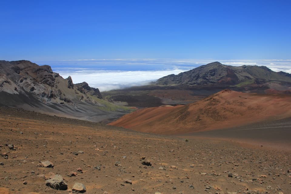 ChallengingKeoneheʻeheʻe (Sliding Sands) Trail7.8 mi · 8 hr · At the trailheadDescend into the crater; save some strength for the climb out.
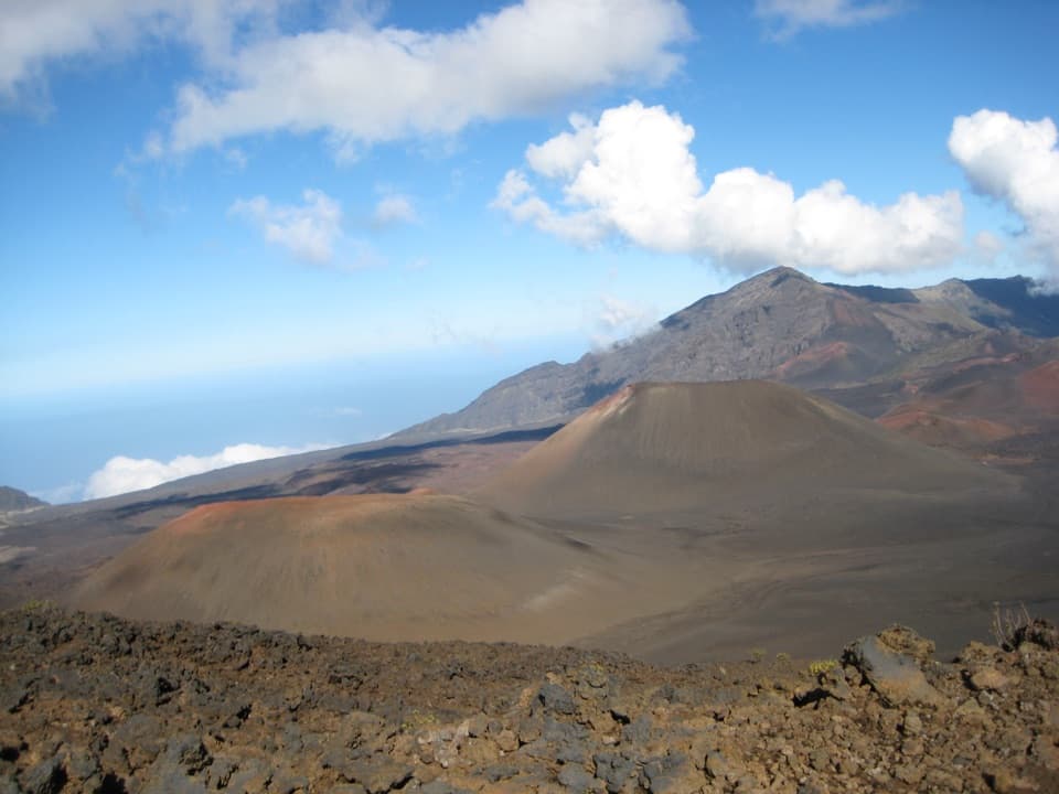 ChallengingKeoneheʻeheʻe to Halemauʻu Trail11 mi · 7 hr · At the trailheadAn 11-mile crater crossing ends with a steep climb out.
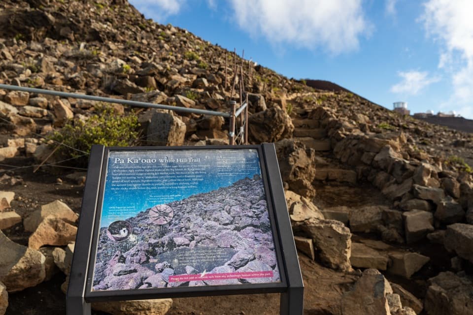 EasyPā Kaʻoao Trail0.4 mi · 36 min · 0.1 mi awayShort climb, crater views, and a hillside of old stone enclosures.
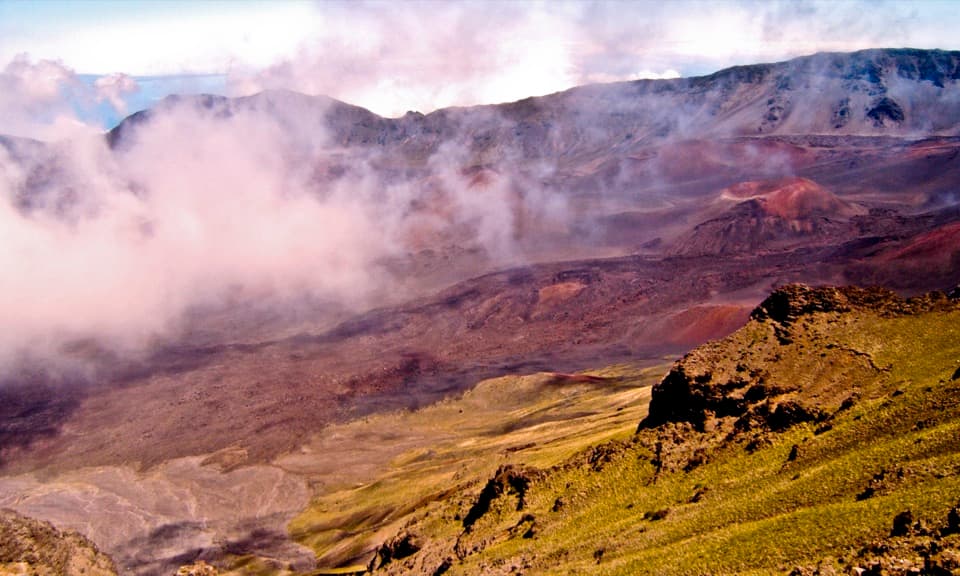 EasyRed Hill Overlook Summit Trail0.2 mi · 15 min · 0.3 mi awayA few minutes reaches Maui's 10,023-foot summit viewpoint.
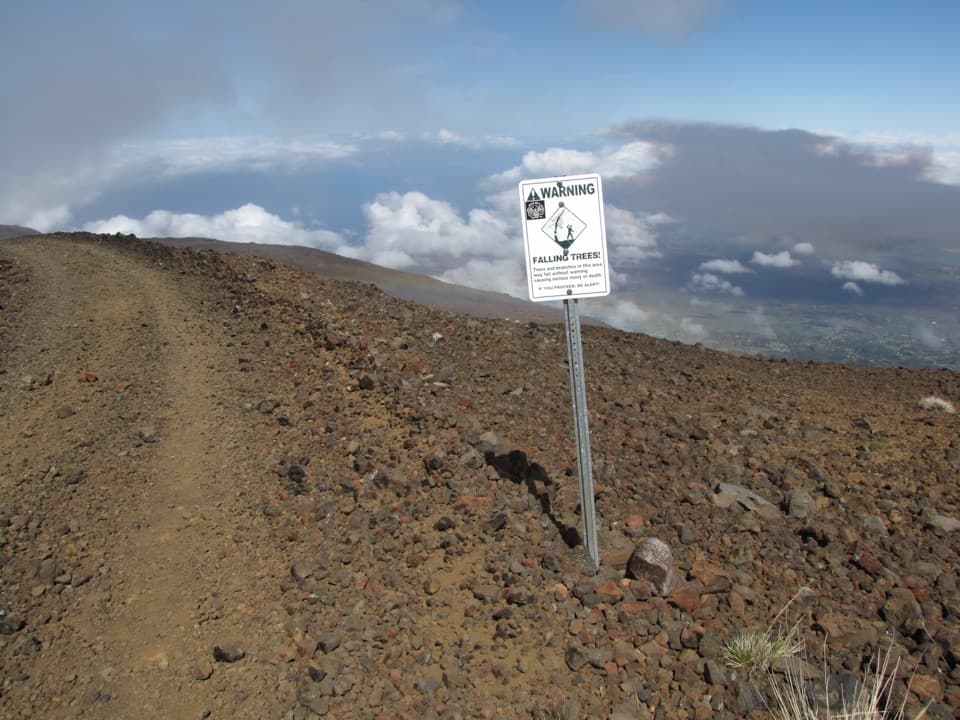 ChallengingSkyline Trail6.7 mi · 4.5 hr · 0.9 mi awayA high-altitude traverse across Haleakalā’s volcanic rift
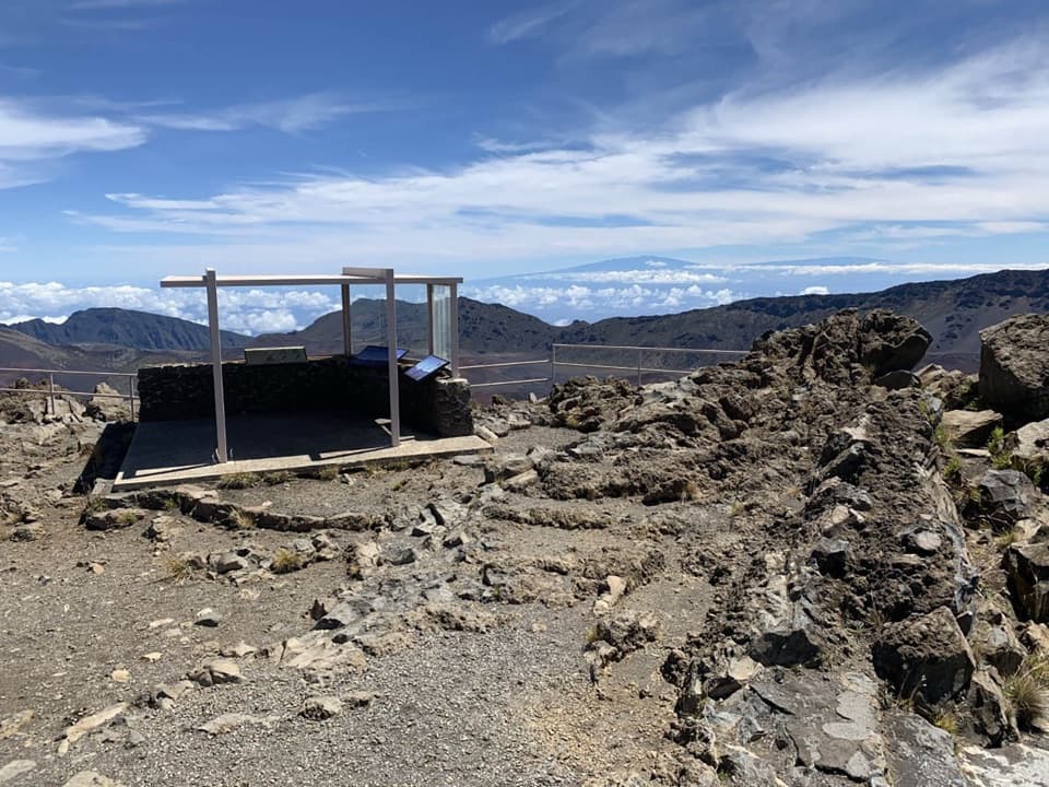 EasyKalahaku Overlook Trail0.1 mi · 30 min · 1.9 mi awayA short crater-rim walk to a historic shelter and huge views.
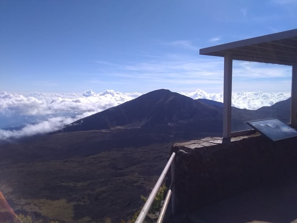 EasyLeleiwi Overlook Trail0.3 mi · 30 min · 2.4 mi awayA short uphill walk to one of Haleakalā’s crater views.
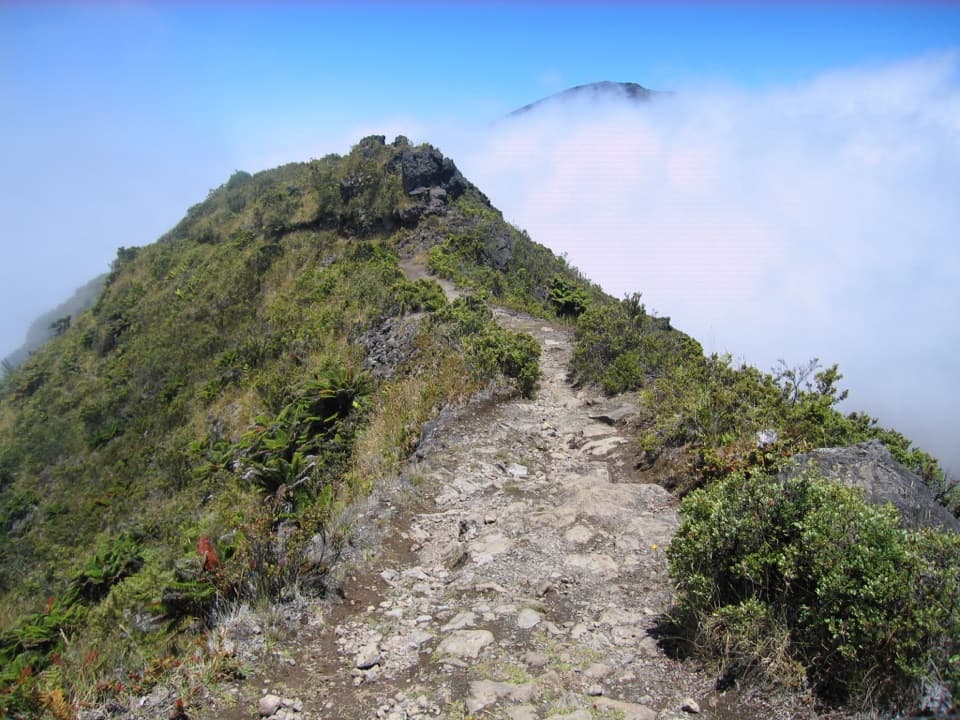 ModerateHalemauʻu Trail2.7 mi · 2.5 hr · 3 mi awayA short trail to a natural bridge at the crater rim.
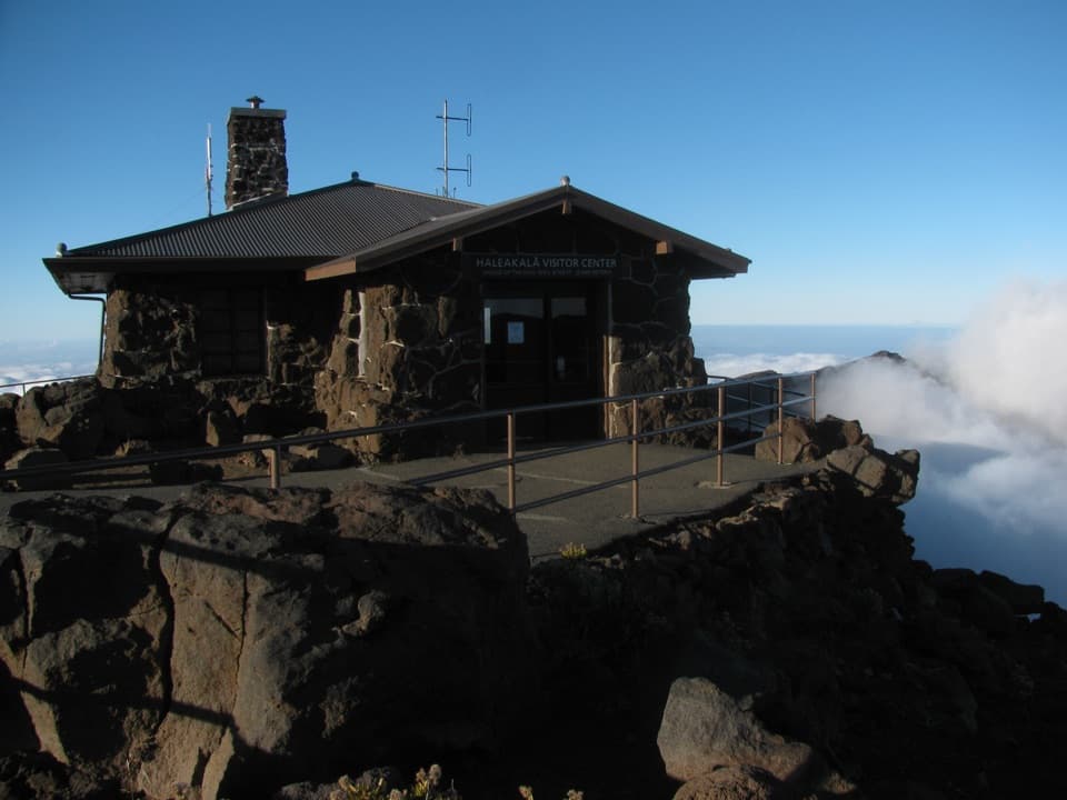 Visitor center · 0.1 mi awayHaleakalā Visitor CenterSee the summit depression from its high, railed edge.
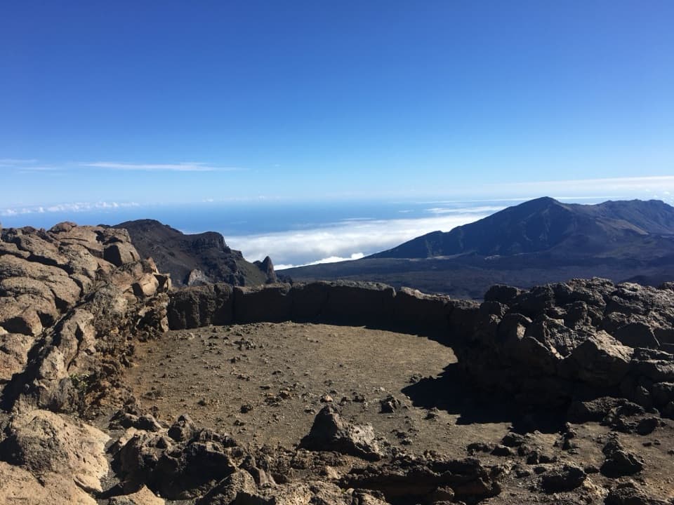 Sight · 0.1 mi awayPā Kaʻoao OverlookA short climb earns a closer look into the summit valley.
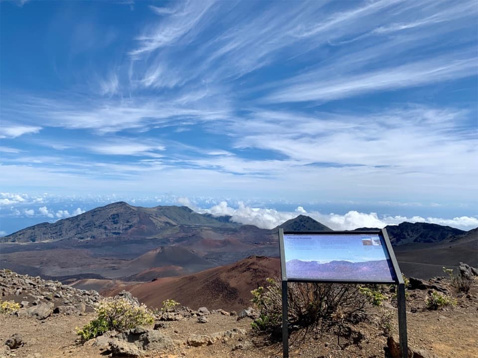 Sight · 0.2 mi awayKeoneheʻeheʻe OverlookA half-mile walk reaches a signed wayside above Haleakalā’s crater.
 Sight · 0.3 mi awayPuʻuʻulaʻula SummitA drive-up 10,023-foot view, if the clouds cooperate.
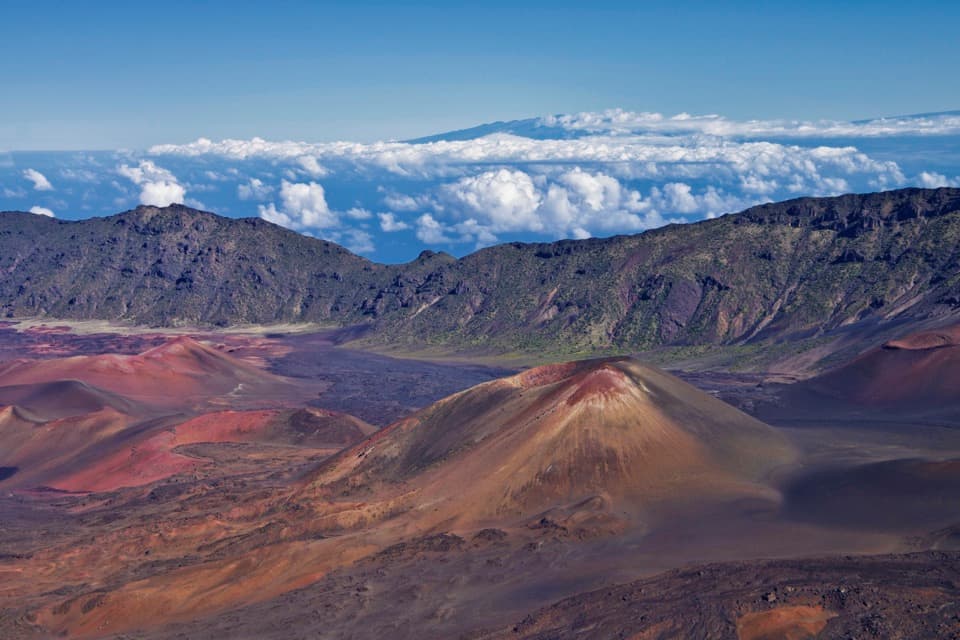 Sight · 1.9 mi awayKalahaku OverlookA short walk to another angle on the crater and its cones.Sight · 2.5 mi awayLeleiwi OverlookA short, rocky climb to the crater’s north-shore gaps.
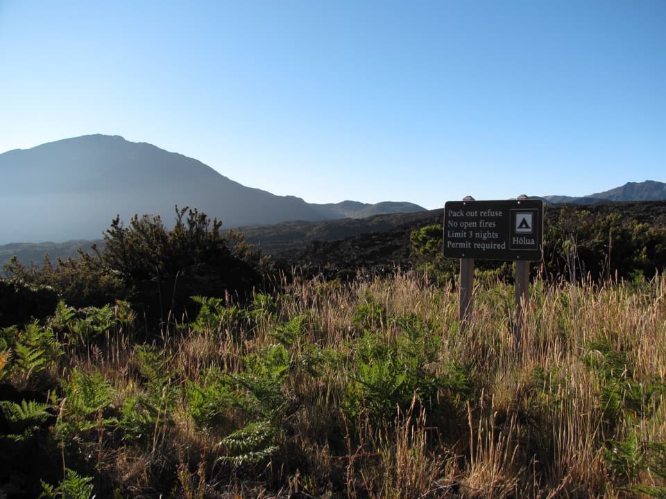 Campground · 2.7 mi awayHōlua Wilderness CampgroundQuiet crater camping, reached by trail; the sandy hike out takes longer.
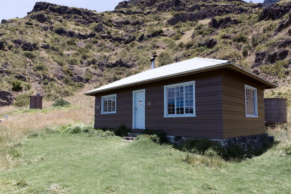 Lodging · 2.8 mi awayHōlua CabinA historic crater cabin for a demanding overnight hike.
Parkwolf’s Haleakalā ranking
The audio tour guide for the drive, plus offline maps, trails, and wildlife heatmaps for when the signal drops.