Parking
Use the Leleiwi Overlook parking area in the Summit District. The marked trailhead is across the park road; cross carefully before starting.
#10 of 17 trails in Haleakalā
Haleakalā National Park, HI
A short uphill walk to one of Haleakalā’s crater views.
Overview
Map & elevation
Plan your hike

The highest, rockiest slopes around here are a summer buffet for grizzly bears.
Haleakalā Tour Guide
Parkwolf is a GPS audio tour guide for Haleakalā National Park. As you drive, it chimes in with what’s ahead: hidden gems, upcoming stops, history, geology, and wildlife, right through your car’s speakers.
Recorded for this trailhead
Leleiwi Overlook“You're nearing the walk to Leleiwi Overlook, with a view through Koʻolau Gap toward Maui's north shore when clouds allow.”
Plays as you drive up to this trailhead in the Parkwolf Haleakalā Tour Guide.
More stories near here in the app
“Fantastic app with many points of information… It’s great to just turn on while you’re driving and it gives you an audio tour of the national Park. We love it!!!!”


Trail guide
Leleiwi Overlook Trail is a 0.30-mile round-trip out-and-back from the Summit District road to a crater-edge viewpoint. The rocky path rises in steps; allow about 30 minutes for the walk and a look around. The park lists 100 feet of elevation change, though terrain samples along the mapped tread show a smaller net rise, so treat that figure as approximate. At about 8,840 feet, the thin air can make this quick climb feel harder than its distance suggests.
Park at Leleiwi Overlook and carefully cross the park road to the marked trailhead. Stay on the path to protect fragile native plants and cultural resources; pets are prohibited on park trails. Hiking groups are limited to 12, with larger parties required to split and stagger their starts.
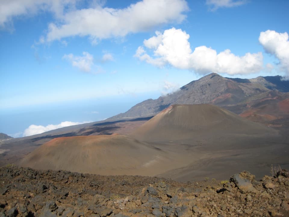
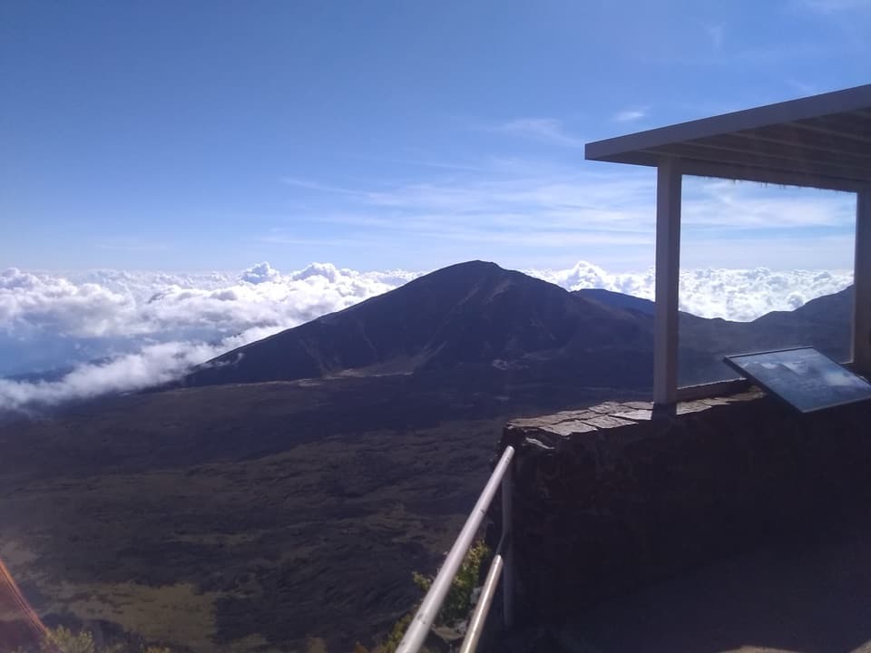
At the edge, look through Koʻolau Gap toward Maui’s north shore. Halemauʻu’s cliffside switchbacks wind across the view; Hanakauhi Peak stands beyond them, with Kaupō Gap farther to the right. Erosion cut the gaps over thousands of years, and later eruptions filled the old valleys, leaving their broad, flat floors. Puʻu o Māui and Ka Luʻu o ka ʻŌʻō are visible eruption sites formed within the last thousand years.
This short walk passes māmane, pūkiawe, ʻōhelo, and naʻenaʻe, also called kūpaoa. Nēnē and other birds may be around, but sightings aren’t guaranteed. Keep to the marked route: walking off trail is illegal here and can damage the plants and cultural features.
Near the trailhead, look for the remains of a stone wall ranchers built in the late 1800s to guide cattle through the rough ground. Leleiwi means “bone altar,” but the story behind the name has been lost; it appears on early maps of the crater. The overlook itself was developed in 1966 as part of Mission 66, a park-wide visitor improvement program.
Trade-wind clouds sometimes cover the crater. Near sunrise or sunset, if the sun is behind you and your shadow falls onto the cloud, you may see a faint rainbow ring around it—the Brocken Specter. It’s a rare bonus, not a reason to count on a clear view. There’s no food, supplies, or gas for sale in the park, so sort those out before the summit drive.
Wildlife
 442 sightingsHawaiian GooseMost seen around 7 AMSighting map
 28 sightingsHawaiian Short-eared OwlMost seen around 6 AMSighting map
 22 sightingsGreen Sea TurtleMost seen around 11 AMSighting map
 645 sightingsʻIʻiwiMost seen around 8 AMSighting map
 360 sightingsʻApapaneMost seen around 9 AMSighting map
 207 sightingsHawaiʻi ʻAmakihiMost seen around 7 AMSighting map
Sighting maps show where each species has been reported across Haleakalā. Wildlife moves, so no sighting is guaranteed.
Keep exploring
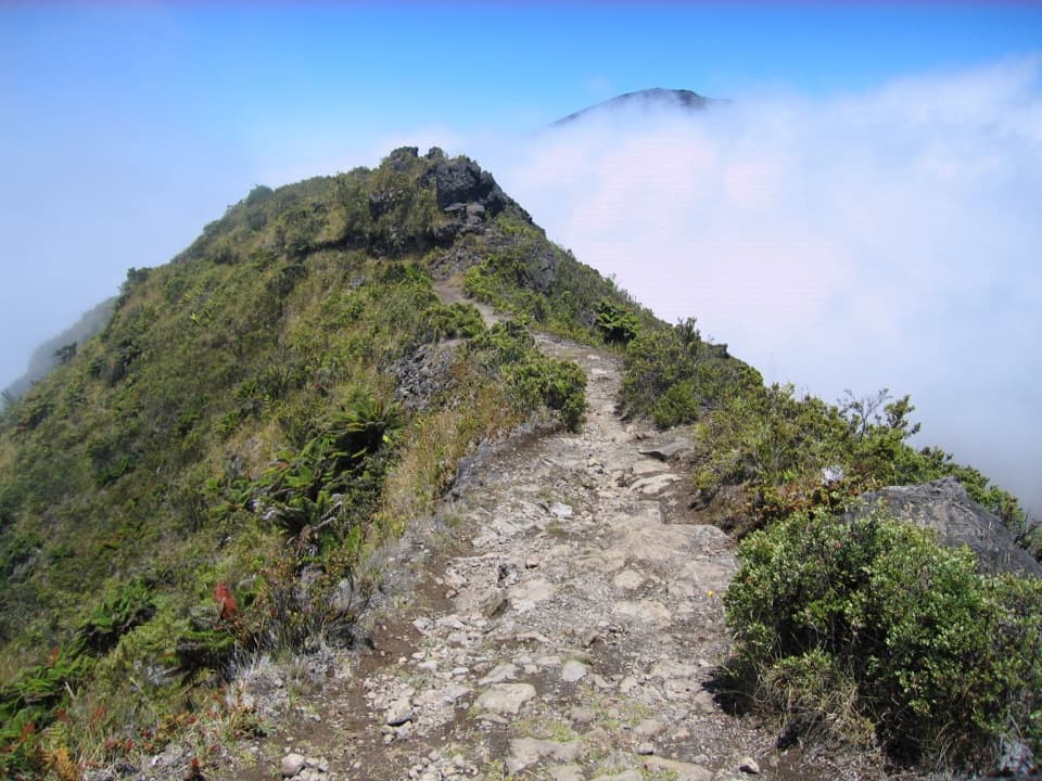 ModerateHalemauʻu Trail2.7 mi · 2.5 hr · 0.6 mi awayA short trail to a natural bridge at the crater rim.
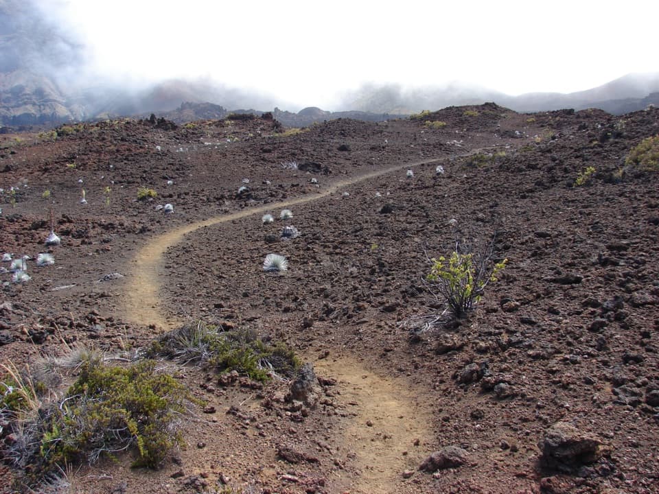 ChallengingSilversword Loop via Halemauʻu Trail10 mi · 8 hr · 0.6 mi awayA long crater descent to the silversword loop.
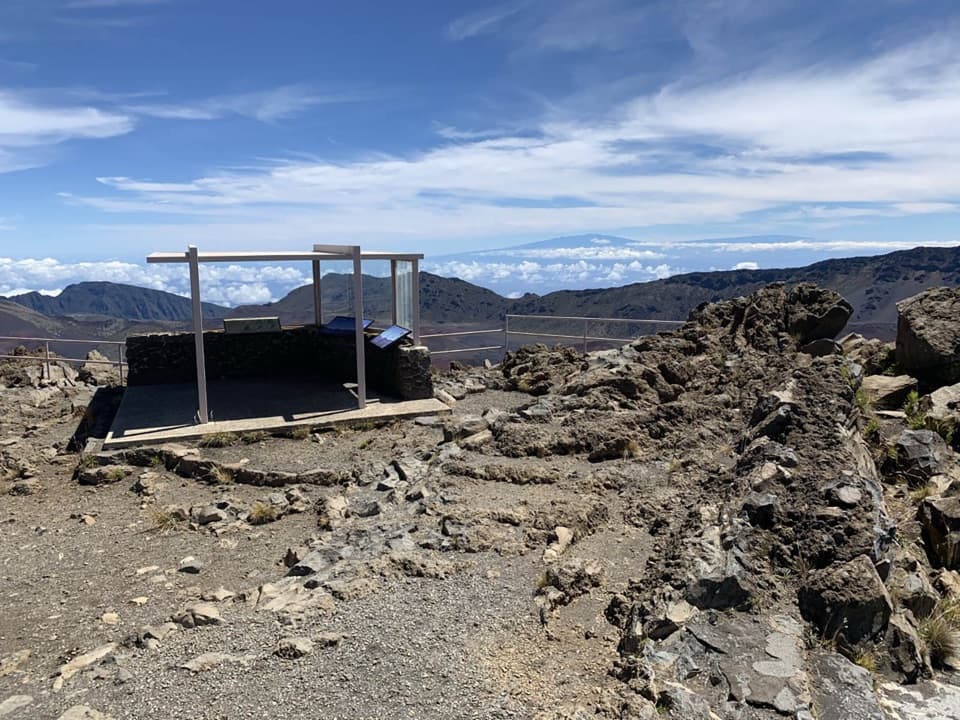 EasyKalahaku Overlook Trail0.1 mi · 30 min · 0.6 mi awayA short crater-rim walk to a historic shelter and huge views.
 EasyHosmer Grove Nature Trail0.5 mi · 30 min · 1.8 mi awayA quick birding loop with a forestry story from 1909.
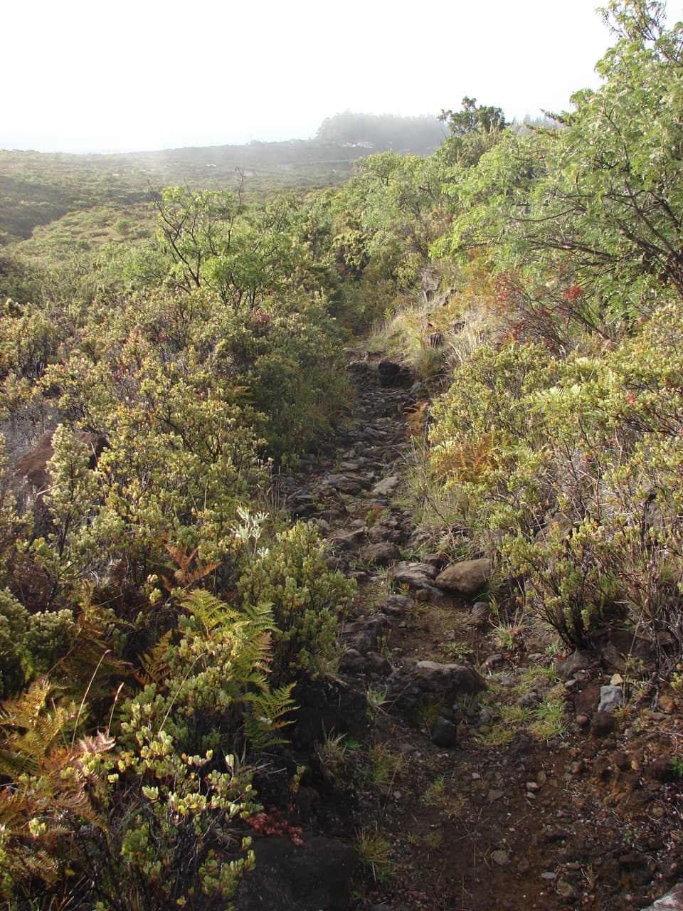 ModerateSupply Trail4.6 mi · 2.8 hr · 1.8 mi awayA steady shrubland climb to the Halemauʻu Trail junction
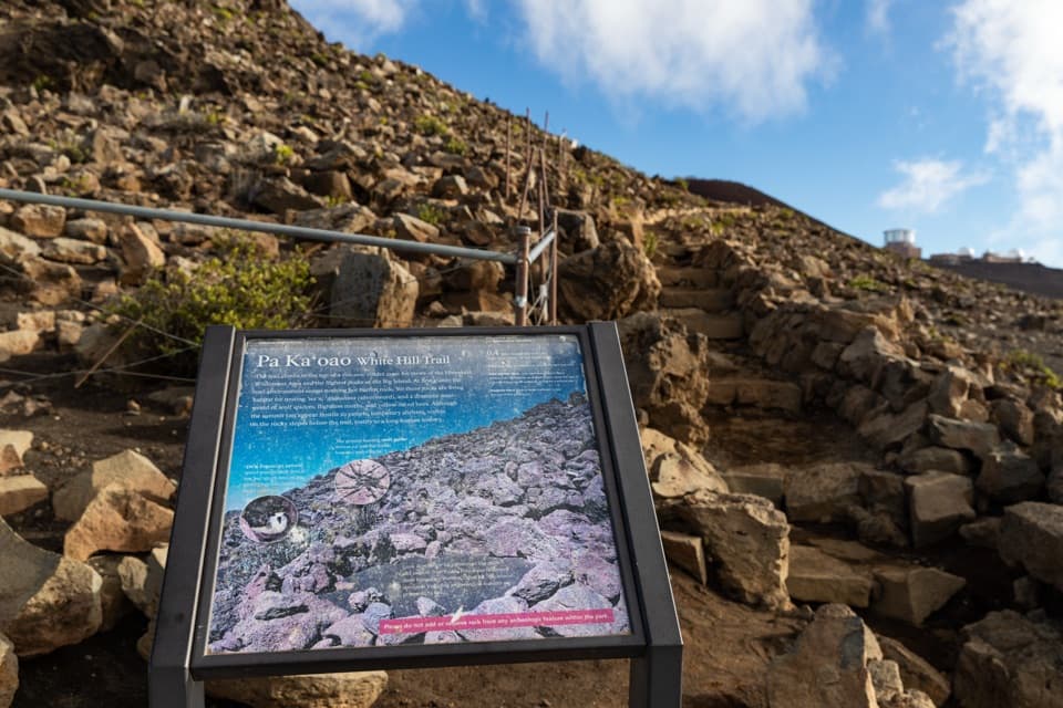 EasyPā Kaʻoao Trail0.4 mi · 36 min · 2.4 mi awayShort climb, crater views, and a hillside of old stone enclosures.
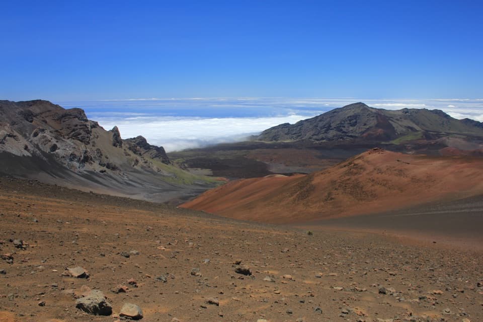 ChallengingKeoneheʻeheʻe (Sliding Sands) Trail7.8 mi · 8 hr · 2.4 mi awayDescend into the crater; save some strength for the climb out.
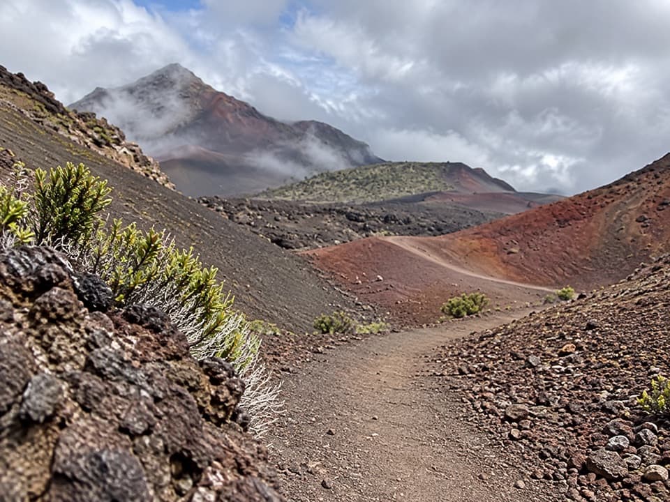 ChallengingHalāliʻi and Puʻunaue Trail12.6 mi · 8.5 hr · 2.4 mi awayCircle two vivid cinder cones, then climb back to the rim.Sight · 0.1 mi awayLeleiwi OverlookA short, rocky climb to the crater’s north-shore gaps.
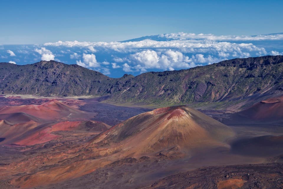 Sight · 0.6 mi awayKalahaku OverlookA short walk to another angle on the crater and its cones.
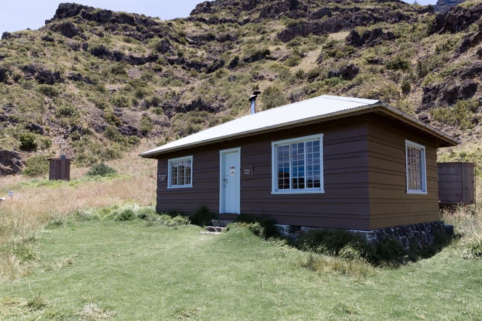 Lodging · 0.8 mi awayHōlua CabinA historic crater cabin for a demanding overnight hike.
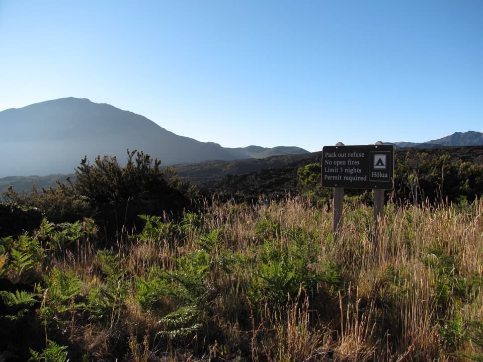 Campground · 0.8 mi awayHōlua Wilderness CampgroundQuiet crater camping, reached by trail; the sandy hike out takes longer.
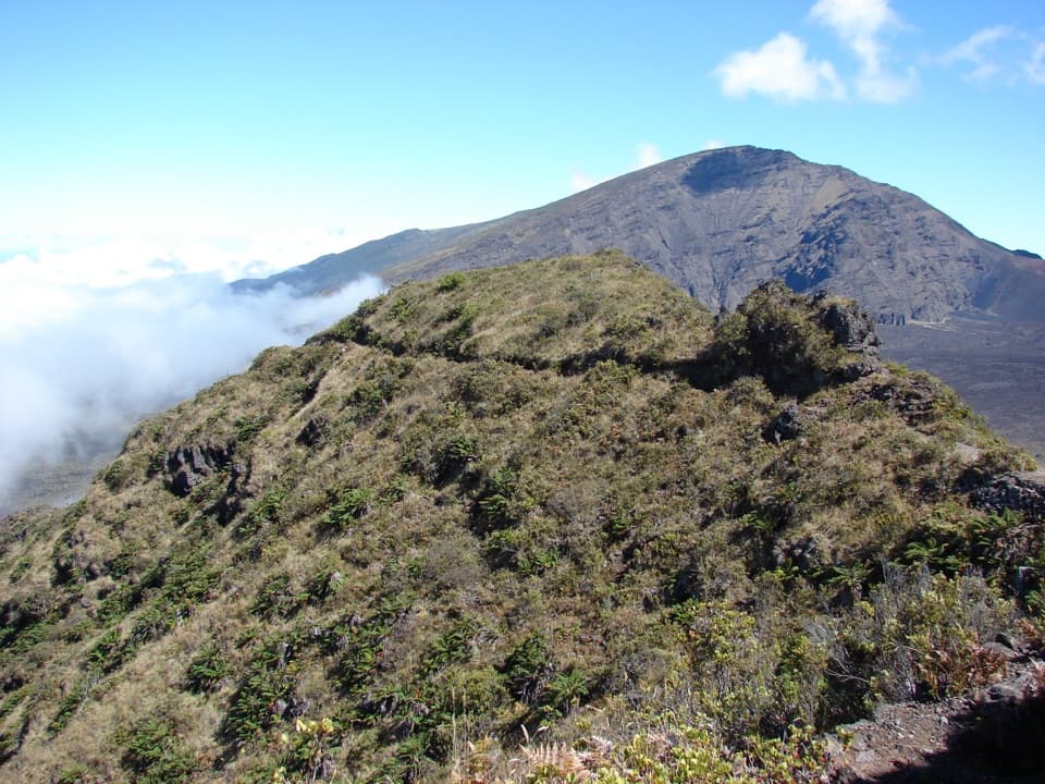 Sight · 1.2 mi awayRainbow BridgeA natural bridge between Koʻolau Gap and the crater floor
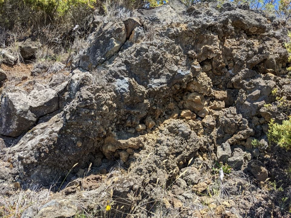 Scenic pullout · 1.5 mi awayHeadquarters Pull-OffA roadcut lets you read ʻāʻā lava from rough edges inward.
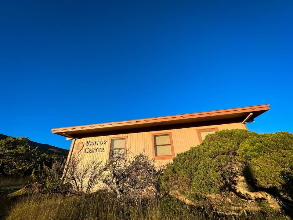 Visitor center · 1.5 mi awayHeadquarters Visitor CenterA useful first stop for trail advice and East Maui’s geology.Sight · 1.7 mi awayHosmer Grove Birdwatching ViewpointA quiet pause for native birds, with a fixed viewfinder.
Parkwolf’s Haleakalā ranking

The audio tour guide for the drive, plus offline maps, trails, and wildlife heatmaps for when the signal drops.