Keoneheʻeheʻe to Halemauʻu Trail in Haleakalā National Park

#3 of 17 trails in Haleakalā

Haleakalā National Park, HI

Keoneheʻeheʻe to Halemauʻu Trail

An 11-mile crater crossing ends with a steep climb out.

Photo: National Park Service
Length
11mi
Time
7hr
Elev. change
3,117ft
Difficulty
Challenging
  • No dogs
  • High point 9,738 ft

Hear the audio tour

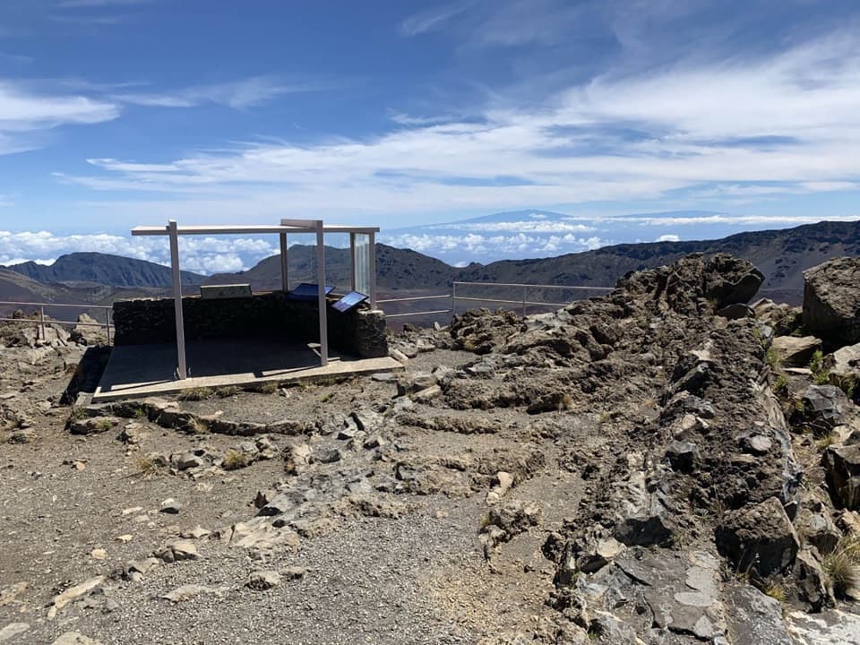
Haleakalā Visitor Center

Overview

About Keoneheʻeheʻe to Halemauʻu Trail

Why go

  • A vivid change from cinder desert to crater-floor cones and a greener rim.
  • A full point-to-point crossing through Haleakalā’s summit landscape.

Heads up

  • You need a ride between separate trailheads; the park runs no hiker shuttle.
  • The long route, high altitude, soft cinder, and steep exit climb make it a hard day.

Map & elevation

The route

Loading the Haleakalā map
Full map
Elevation6,621–9,738 ft
TrailheadKeoneheʻeheʻe (Sliding Sands) Trailhead at Haleakalā Visitor Center20.71434, -156.25104
Keep this map with you offline in the Parkwolf app

Plan your hike

Before you go

Parking

Start at the Keoneheʻeheʻe (Sliding Sands) Trailhead in the Haleakalā Visitor Center parking area; finish at Halemauʻu Trailhead beside the highway, near the hiker pickup area. There is no hiker shuttle. Arrange your ride before setting out; the recommended plan is to leave your car at Halemauʻu and ride or hitch up to the summit start.


Safety

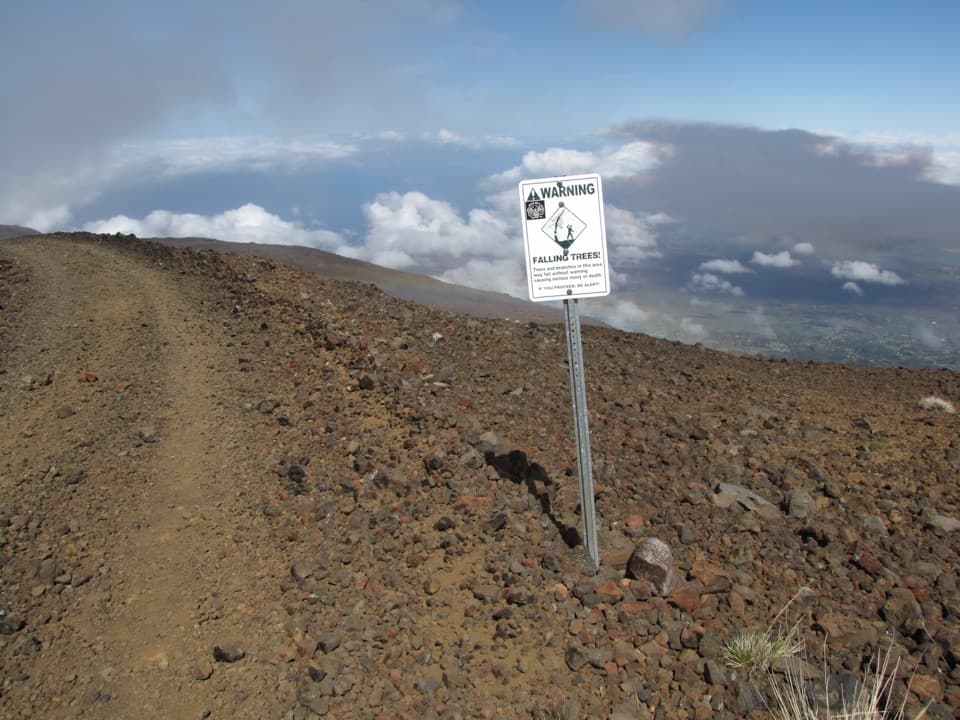
The route starts around 9,740 feet, where altitude can make exertion harder, and includes a nearly 2,500-foot descent followed by a long, steep climb out. Weather can shift quickly to cold rain, wind, or strong sun. Carry all food and water; supplies are not sold in the park. Stay on marked trails, keep away from the 65-foot Kawilinau pit edge, and remember that pets are prohibited.

2 active Haleakalā alerts

  • ClosureSwimming prohibited at ʻOheʻo PoolsDo not enter or swim in the Pools of ʻOheʻo in the Kīpahulu District. - Entry is prohibited because of a number of safety concerns; view the pools safely from the Kūloa Point Trail instead.Official details
  • CautionCrater Road lane closures near Haleakalā National ParkExpect single-lane closures on Crater Road (Route 378) from Monday, October 12, through Friday, October 16.Official details
Haleakalā alerts
A park ranger sits on a dash-mounted phone, talking, as Parkwolf’s Tour Guide plays “Army Cutworm Moths: A Grizzly Bear Buffet” on Grand Loop Road below Dunraven Pass in Yellowstone
Parkwolf Tour GuideThe highest, rockiest slopes around here are a summer buffet for grizzly bears.

Haleakalā Tour Guide

Your drive to Keoneheʻeheʻe to Halemauʻu Trail, narrated.

Parkwolf is a GPS audio tour guide for Haleakalā National Park. As you drive, it chimes in with what’s ahead: hidden gems, upcoming stops, history, geology, and wildlife, right through your car’s speakers.

Recorded for this trailhead

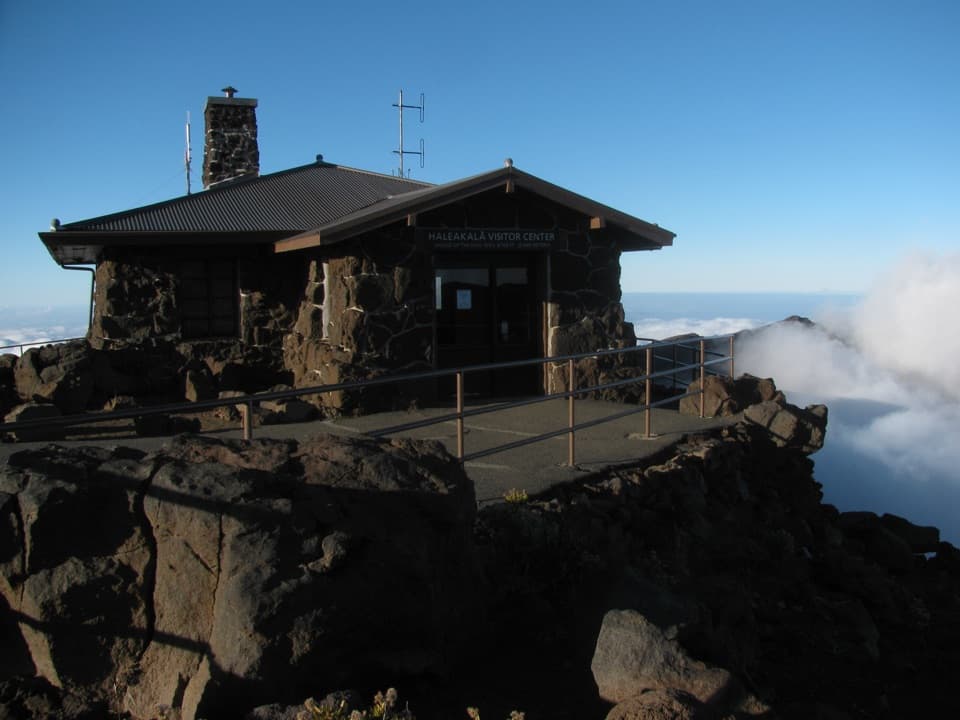
Haleakalā Visitor Center
0:00 / 0:32
“Up ahead is Haleakalā Visitor Center, with a crater view right beside the building. Go to the railing first, especially if time is short; you don't need a hike for this stop.”

Plays as you drive up to this trailhead in the Parkwolf Haleakalā Tour Guide.

More stories near here in the app

  • Puʻuʻulaʻula Summit
  • The ʻIʻiwi's Curved Bill
  • Kalahaku Overlook
  • Why the Cinder Turns Red
  • 25 audio storiesacross Haleakalā’s roads, triggered by GPS as you drive
  • Wildlife heatmapsfor Hawaiian Goose, Hawaiian Short-eared Owl, Green Sea Turtle, and 12 more
  • Works offlinemaps, 17 trails, 32 places, and audio download before you lose signal
  • CarPlay readysimple controls built for the drive
★★★★★
“Fantastic app with many points of information… It’s great to just turn on while you’re driving and it gives you an audio tour of the national Park. We love it!!!!”
JMJamesApp Store review
Download Parkwolf on the App StoreGet Parkwolf on Google Play

4.7 from 8,600+ ratings

Trail guide

Hiking Keoneheʻeheʻe to Halemauʻu Trail

The full crossingThis is an 11-mile, one-way hike from Keoneheʻeheʻe at the summit to Halemauʻu, across…

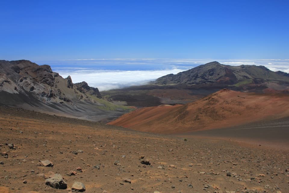
This is an 11-mile, one-way hike from Keoneheʻeheʻe at the summit to Halemauʻu, across Haleakalā’s high crater. It takes most of a day; allow about seven hours on foot. I’d choose it for the full basin crossing, but the point-to-point ride is part of the outing and the last climb is demanding.

Plan the ride firstThere’s no hiker shuttle.

There’s no hiker shuttle. The simplest setup is to leave your car at Halemauʻu and arrange a ride up to the summit start, so your car is waiting at the finish. If you enter the summit area between 3 and 7 a.m., check the current sunrise vehicle reservation rule before you go.

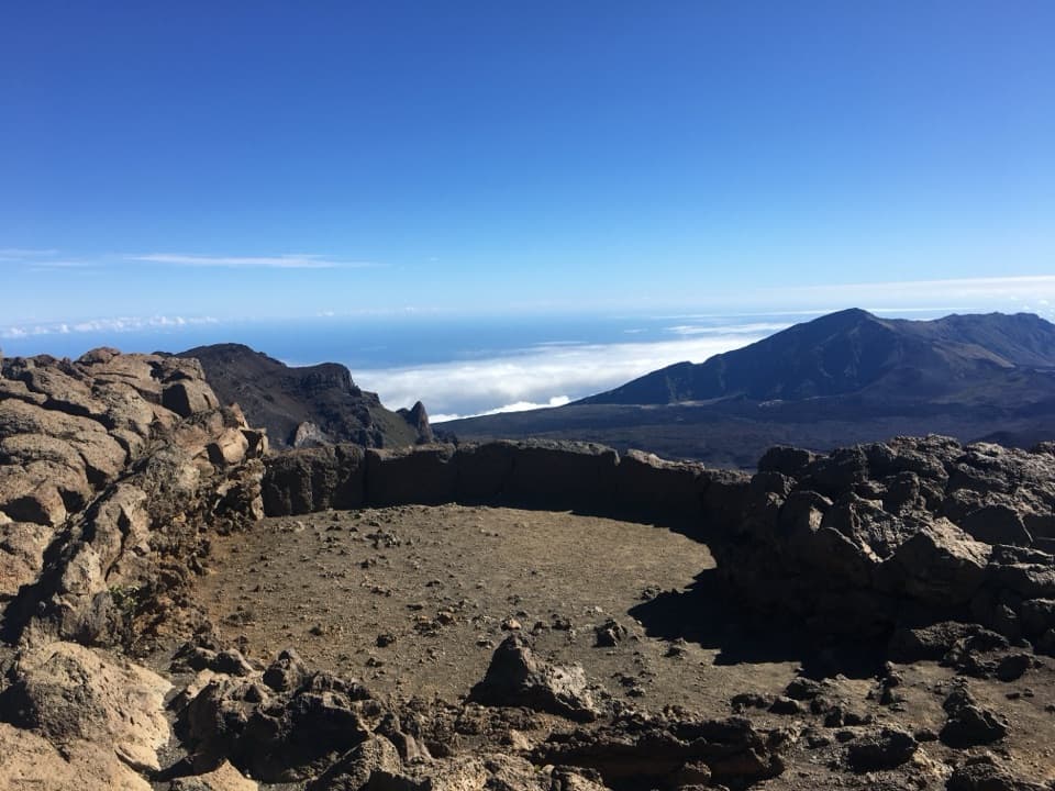
Down to the crater floorFrom about 9,740 feet, the trail drops nearly 2,500 feet over its first 3.9 miles.

From about 9,740 feet, the trail drops nearly 2,500 feet over its first 3.9 miles. The soft cinder shifts underfoot like beach sand, so even the downhill takes effort. Save some energy for later; this is only the opening stretch.

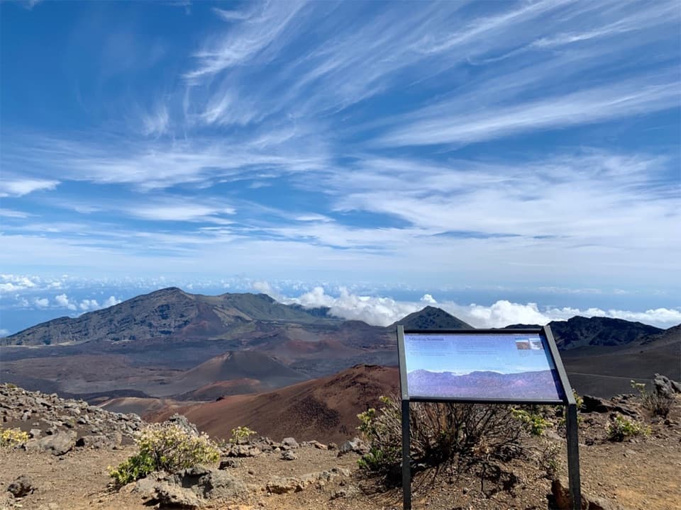
Across the basinAfter reaching the floor, the route heads north toward Halemauʻu through open cinder and lava…

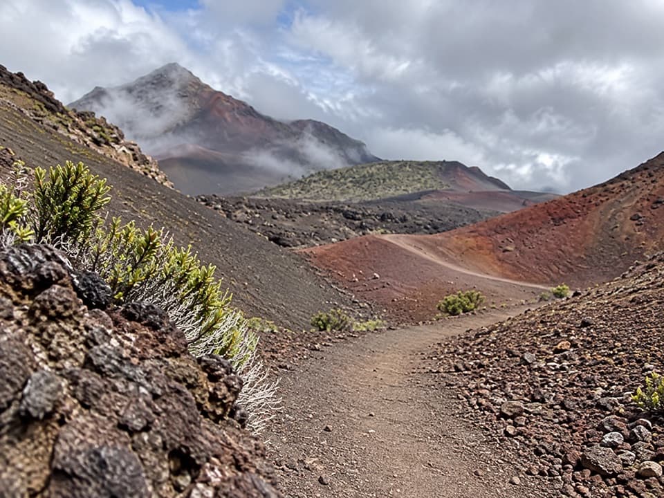
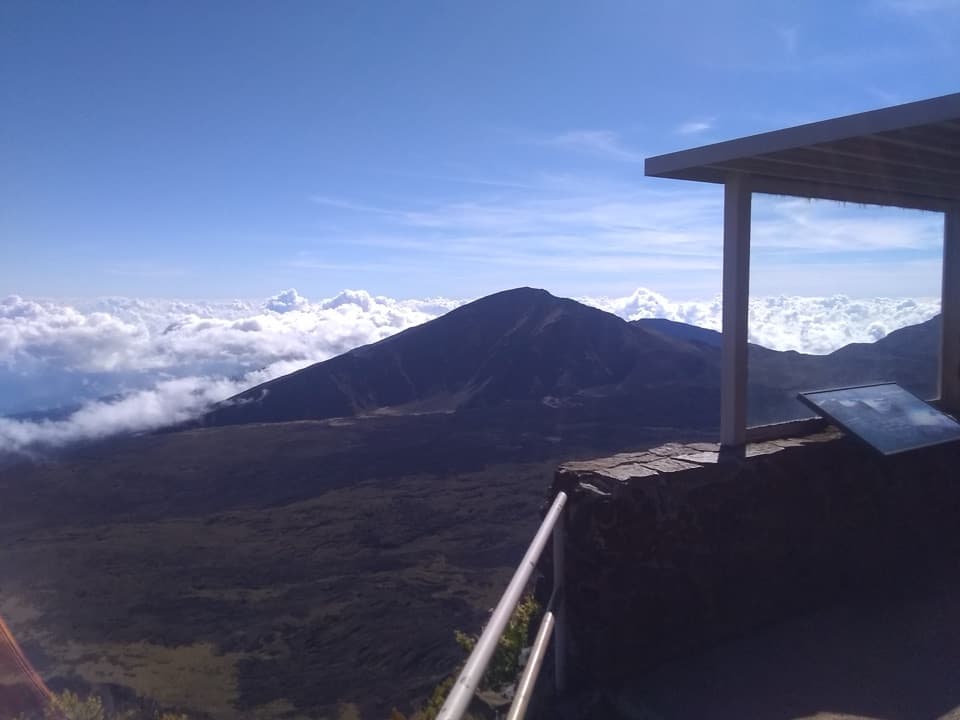
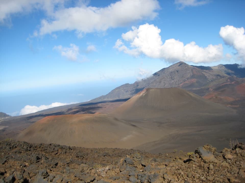
After reaching the floor, the route heads north toward Halemauʻu through open cinder and lava country. It passes the Halāliʻi cone and Kawilinau, a 65-foot volcanic pit, about 5.7 miles from the start. Stay on the marked tread and admire the pit from a safe distance.

Climb out at HalemauʻuThe trail turns onto steep, narrow switchbacks cut into the crater wall and climbs to the…

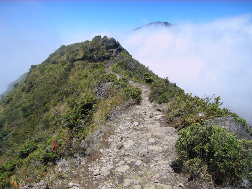
The trail turns onto steep, narrow switchbacks cut into the crater wall and climbs to the 7,990-foot Halemauʻu trailhead. The last miles are a hard finish after a long day at altitude; expect the landscape to shift from bare cinder to a greener rim.

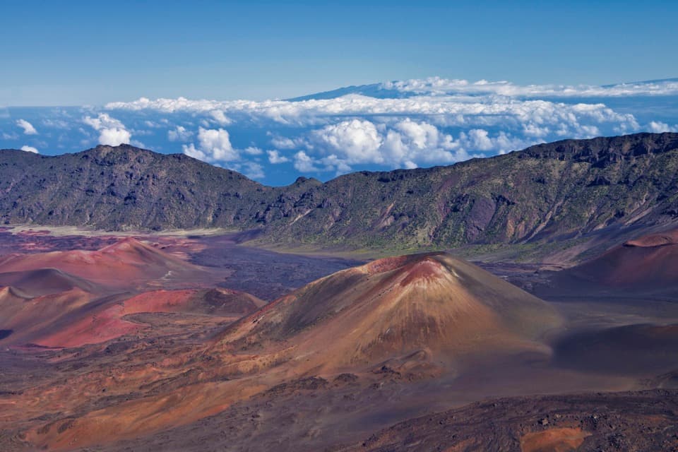
A valley shaped by erosionDespite its familiar name, Haleakalā’s summit basin wasn’t made by a single collapse or…

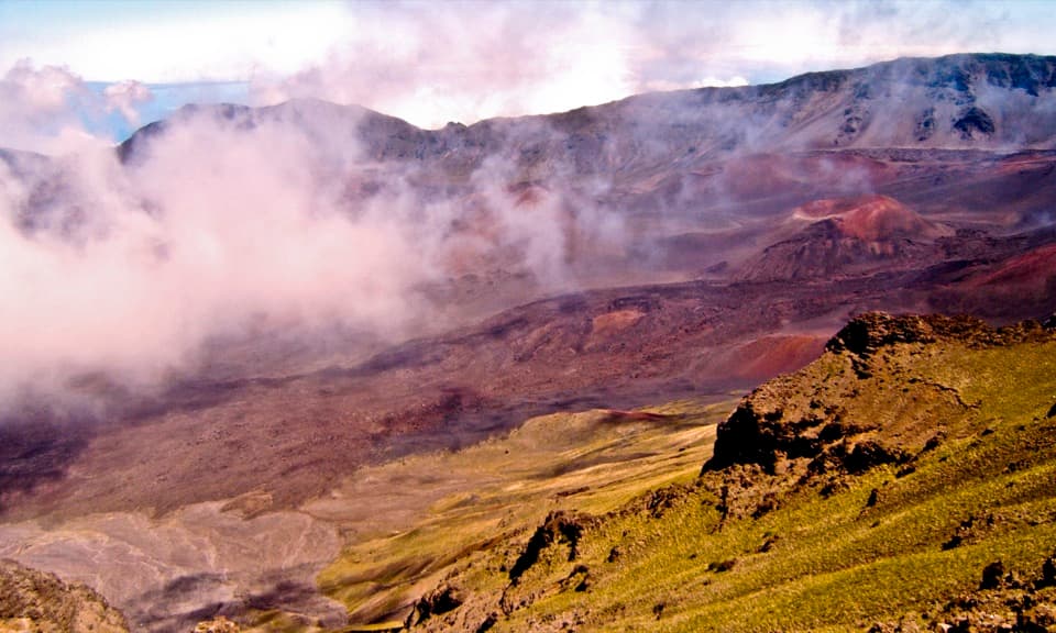
Despite its familiar name, Haleakalā’s summit basin wasn’t made by a single collapse or explosion. It formed as two large valleys grew and joined. The cones and lava flows scattered across the floor are much younger, giving this walk a close look at several stages of the volcano’s history.

Pack for a high, cold dayThere’s no food or dependable water stop along the crossing, and nothing is sold in the park.

There’s no food or dependable water stop along the crossing, and nothing is sold in the park. Bring enough food and water for the day, sturdy shoes, sun protection, and warm rain gear. Summit weather changes quickly; temperatures can fall below freezing with wind chill.

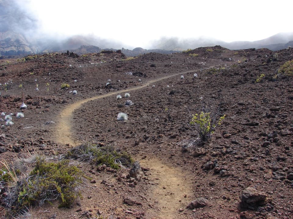
Give the silverswords roomThe upper alpine desert is home to the endemic ʻāhinahina, or Haleakalā silversword.

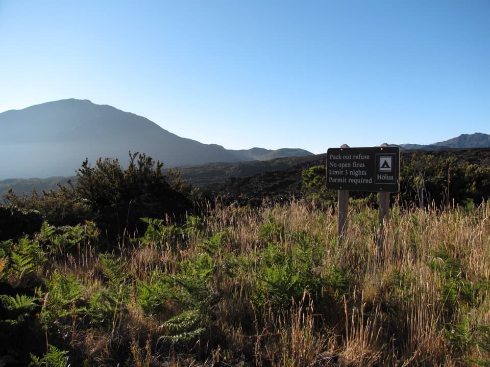
The upper alpine desert is home to the endemic ʻāhinahina, or Haleakalā silversword. Its roots are fragile, so keep to the trail and don’t step among the plants. Pets are prohibited on park trails, and hiking groups are limited to 12.

Wildlife

Wildlife in Haleakalā

All Haleakalā wildlife maps

Sighting maps show where each species has been reported across Haleakalā. Wildlife moves, so no sighting is guaranteed.

Keep exploring

Near Keoneheʻeheʻe to Halemauʻu Trail

See it all on the map

Trails that start nearby

Places near the trailhead

Parkwolf’s Haleakalā ranking

Top-rated trails in Haleakalā

All 17 trails
  1. 1Pīpīwai TrailModerate · 4 mi
  2. 2Keoneheʻeheʻe (Sliding Sands) TrailChallenging · 7.8 mi
  3. 4Halemauʻu TrailModerate · 2.7 mi
  4. 5Silversword Loop via Halemauʻu TrailChallenging · 10 mi
  5. 6Pā Kaʻoao TrailEasy · 0.4 mi
  6. 7Hosmer Grove Nature TrailEasy · 0.5 mi

Take Parkwolf to Haleakalā.

The audio tour guide for the drive, plus offline maps, trails, and wildlife heatmaps for when the signal drops.

4.7 from 8,600+ ratings

Download Parkwolf on the App StoreGet Parkwolf on Google Play