Parking
Use the Observatory Trail access at the end of Mauna Loa Observatory Road near the weather station. The first roughly half mile is rough two-track; parking capacity and fees are not established.
Hawaiʻi Volcanoes National Park, HI
A full-day lava climb to Mauna Loa’s 13,681-foot summit.
Overview
Map & elevation
Plan your hike

The highest, rockiest slopes around here are a summer buffet for grizzly bears.
Hawaiʻi Volcanoes Tour Guide
Parkwolf is a GPS audio tour guide for Hawaiʻi Volcanoes National Park. As you drive, it chimes in with what’s ahead: hidden gems, upcoming stops, history, geology, and wildlife, right through your car’s speakers.
See the Hawaiʻi Volcanoes audio tour“Fantastic app with many points of information… It’s great to just turn on while you’re driving and it gives you an audio tour of the national Park. We love it!!!!”


Trail guide
This is a high-altitude out-and-back from the Mauna Loa Observatory Road access to Mauna Loa’s 13,681-foot summit: 6.4 miles each way, or 12.8 miles round trip. It starts near 11,000 feet and gains about 2,700 feet through open lava, with the vast Mokuʻāweoweo caldera as the payoff. Treat it as a full-day outing; I’d budget about 10 hours for the return and choose it only if you’re comfortable with long miles above 11,000 feet.
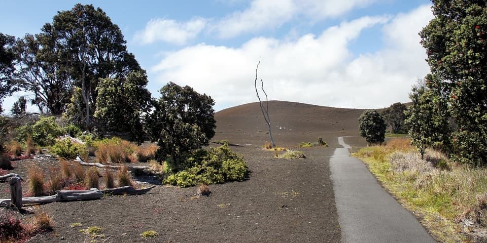
The access is near the weather observatory at the end of Mauna Loa Observatory Road. The first roughly half mile is a rough two-track scattered with lava fragments before the signed trail begins. Parking capacity and fees are not established, and there is no drinking water at the trailhead. Avoid idling near the research instruments; vehicle exhaust can affect atmospheric measurements.
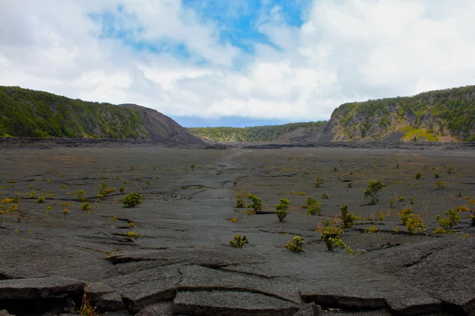
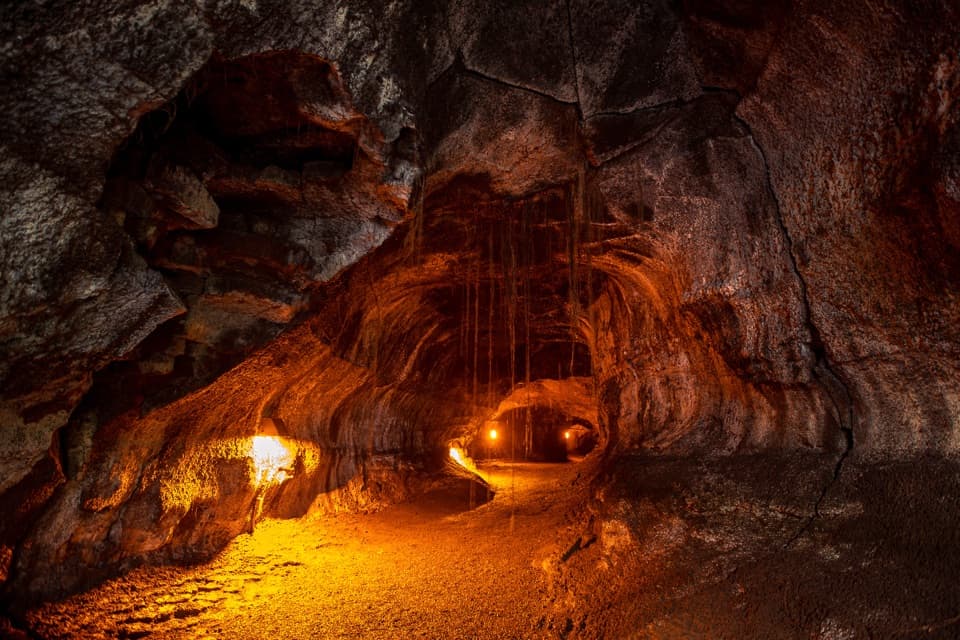
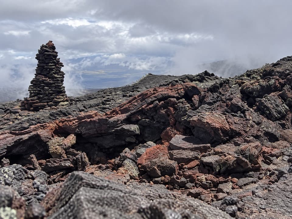
Past the trail sign, cairns guide you over alternating ʻaʻā and pāhoehoe lava. Expect loose, jagged footing and a route that is more exposed than a worn, continuous tread. A collapsed lava tube with two prominent cairns is a useful landmark about a mile after the signed trail begins. Farther on, older tracks meet near a park-boundary sign, so slow down at cairn junctions and make sure you’re following the summit line.
Cairns are the route markers, and fog can make them hard to see. In a whiteout they may disappear altogether; don’t keep pressing on if you lose the line. There is little shade or shelter. Sharp lava, high altitude and fast-changing mountain weather make this a serious hike even though the grade is not the main challenge.
Near the rim, the Observatory approach joins Mauna Loa Trail. The last roughly two miles to the true summit cross ʻaʻā; the grade eases, but the crater stays out of view until late. A large cairn marks the 13,681-foot high point beside Mokuʻāweoweo. The caldera’s rippled lava floor and steep rim make the scale hard to read until you’re there. Frame the summit cairn with the caldera below to show how broad the crater is, and keep well back from the edge.
The route crosses ʻaʻā and pāhoehoe, two very different lava surfaces, and passes near a colorful cone formed in 1940 and flows from 1975. The weather observatory below has collected atmospheric-change data since the 1950s; avoid idling beside its instruments because exhaust can interfere with measurements.
At the summit-area junction, a separate branch reaches Mauna Loa Summit Cabin in 5.9 miles one way from the access. It is a slightly shorter endpoint or overnight objective, not part of this mapped summit route. Overnight cabin and backcountry camping require a permit; cabin water is catchment water, must be treated, and should not be relied on until its availability is checked. The day-hike permit rule is not clearly stated, so confirm it with the park before setting out. Ordinary pets are not allowed on the backcountry route.
Wildlife
 600 sightingsHawaiian Goose (Nēnē)Most seen around 5 PMSighting map
 35 sightingsGreen Sea TurtleMost seen around 11 AMSighting map
 36 sightingsHawaiian Hawk ('Io)Most seen around 11 AMSighting map
 41 sightingsBlack NoddyMost seen around 5 PMSighting map
 96 sightingsWhite-tailed TropicbirdMost seen around noonSighting map
 24 sightingsHawai'i 'ElepaioMost seen around 8 AMSighting map
Sighting maps show where each species has been reported across Hawaiʻi Volcanoes. Wildlife moves, so no sighting is guaranteed.
Keep exploring
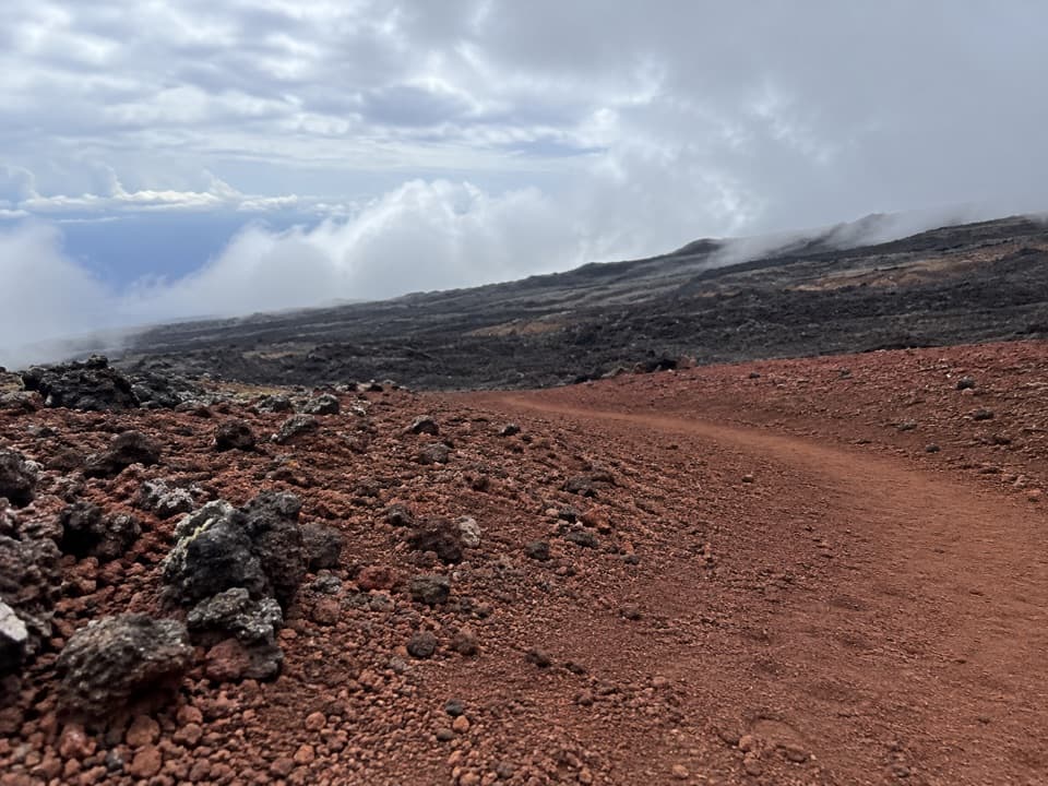 ChallengingMauna Loa Trail to Puʻuʻulaʻula (Red Hill) Cabin15 mi · 8 hr · 12.8 mi awayClimb 3,373 feet to Red Hill Cabin on Mauna Loa
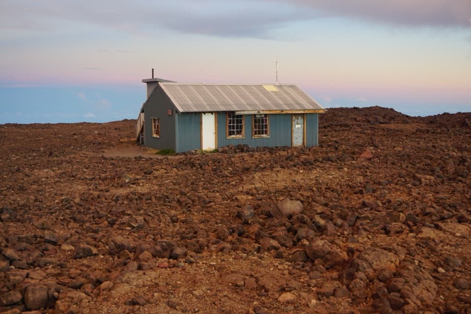 ChallengingʻĀinapō Trail20.4 mi · 18 hr · 13.3 mi awayA demanding, high-altitude climb to Mauna Loa’s remote cabin.
 Sight · 4.8 mi awayMauna Loa SummitA demanding hike to the western rim of Mokuʻāweoweo.Lodging · 5 mi awayMauna Loa Summit CabinA 13,250-foot overnight cabin on one of Earth's largest volcanoes.
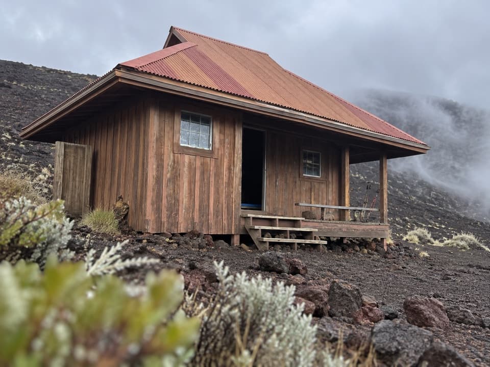 Lodging · 7.3 mi awayPuʻuʻulaʻula (Red Hill) CabinA high-altitude bunkhouse for a demanding Mauna Loa hike.
Parkwolf’s Hawaiʻi Volcanoes ranking

The audio tour guide for the drive, plus offline maps, trails, and wildlife heatmaps for when the signal drops.