
Place
Challenging
ʻĀinapō is the original Hawaiian route up Mauna Loa—remote, rugged, and culturally significant. Expect a dramatic progression from native forest and fern grottos into stark lava deserts, crossing both smooth pāhoehoe and ankle-chewing ʻā‘ā. Rock cairns (ahu), sometimes with reflective markers, guide you across long, treadless lava stretches. The name ʻĀinapō means “darkened land,” a nod to the frequent low clouds that sock in the lower and mid elevations before you break into windswept, high-volcanic country.
The full historic route runs roughly 34–35 miles with 8,000+ feet of gain, from Kapāpala to over 13,200 feet at the summit. Only the upper portion (above roughly 11,600 feet) lies within the national park today, and use is very light compared with newer approaches. This is a strenuous backcountry undertaking—rewarding if you’re prepared, punishing if you’re not.
Most parties start at the Kapāpala Ranch side (about 5,640 feet) via a rough 4WD road. You must contact Kapāpala Ranch in advance for gate access (the code changes). Wayfinding follows cairns; in clouds or fog, those gaps between cairns feel much longer—carry GPS and a map. Water is scarce; carry what you need. Cabins (Halewai, just below ~8,000 feet, and the Mauna Loa Summit Cabin) exist along the route, but treat any collected water and never count on availability.
Footing alternates between uneven pāhoehoe and sharp ʻā‘ā—sturdy boots save ankles and shins. Above tree line you’ll be fully exposed to wind, sun, and cold; rapid weather swings are the rule here, not the exception.
You can go year-round, but spring and fall usually offer the most stable weather. Summer can be hot and humid down low; winter brings real cold and potential summit snow that can bury cairns and make route-finding slow and serious. Start early for cooler temps and better afternoon visibility above the cloud deck.
For experienced, self-sufficient hikers who want solitude, volcanic geology, and a deep connection to Hawaiian history, ʻĀinapō is a standout—quieter and more committing than the commonly used 1915-built route. If you’re unsure about navigation in clouds, moving over rough lava for hours, or managing altitude, this one can feel more ordeal than adventure.
4WD access via Kapāpala Ranch to the trailhead; arrange gate code with the ranch in advance. Limited trailhead parking.
Extreme elevation gain, rough ʻā‘ā underfoot, rapid weather changes, and scarce water. Clouds can erase visibility; in winter, snow may bury cairns. Bring GPS, extra layers, sun protection, and all needed water/treatment.
Place
Place
Place
Place
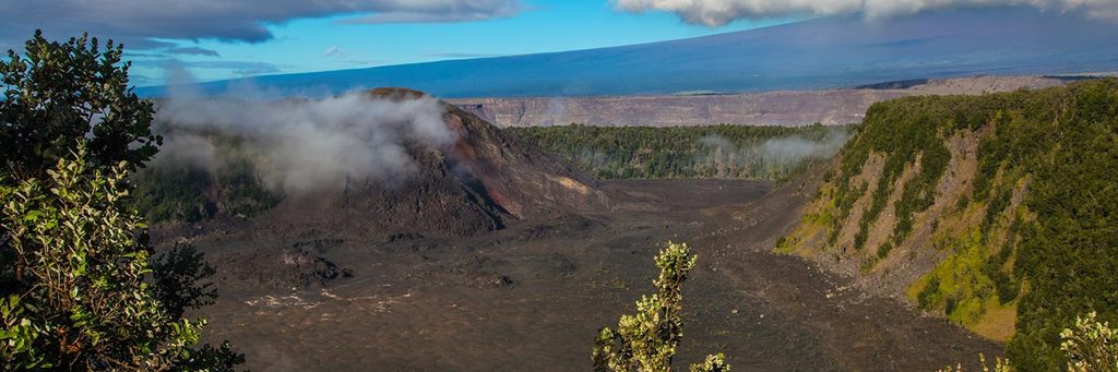
Moderate
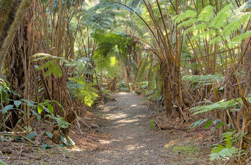
Moderate
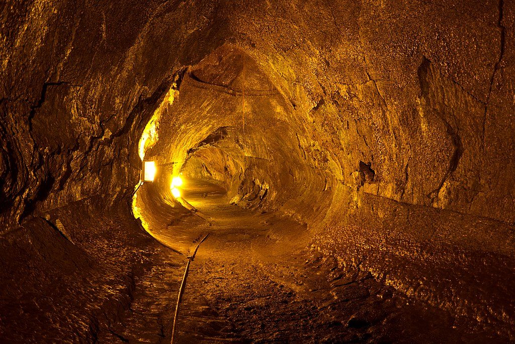
Easy
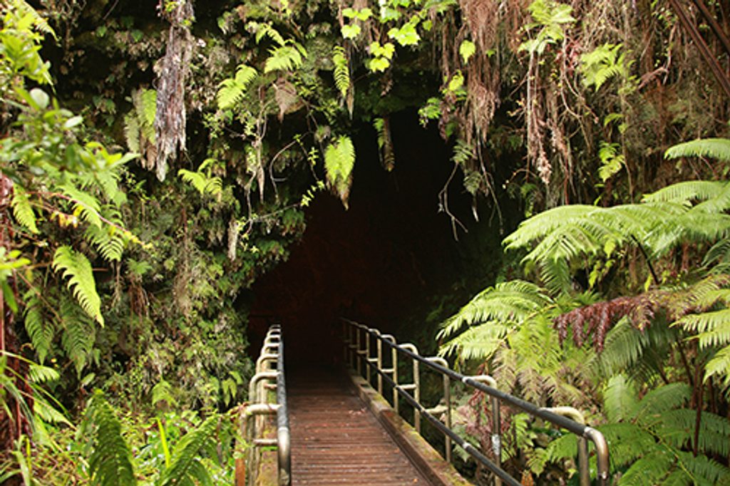
Easy

Parkwolf Tour Guide
