Parking
Use the Puʻuloa Petroglyphs parking pullout on Chain of Craters Road at milepost 16.5.

#4 of 33 trails in Hawaiʻi Volcanoes
Hawaiʻi Volcanoes National Park, HI
Rough lava footing leads to Hawaiʻi’s largest petroglyph field.
Overview
Puʻuloa Petroglyphs Trail is a 1.4-mile out-and-back from the Puʻuloa parking pullout on Chain of Craters Road to the field’s protective viewing boardwalk and back. Plan on roughly one to one-and-a-half hours. The destination is a rare chance to see a vast collection of Native Hawaiian images carved into lava; the trail itself is a short, open walk over rough pāhoehoe. If you enjoy cultural history, the payoff is worth the awkward footing. If you need an even surface, this is not the easy stroll its mileage suggests. Bring water and sun protection before leaving the road.
 Parkwolf’s verdictIs this the hike for you?
Map & elevation
Plan your hike

The highest, rockiest slopes around here are a summer buffet for grizzly bears.
Hawaiʻi Volcanoes Tour Guide
Parkwolf is a GPS audio tour guide for Hawaiʻi Volcanoes National Park. As you drive, it chimes in with what’s ahead: hidden gems, upcoming stops, history, geology, and wildlife, right through your car’s speakers.
See the Hawaiʻi Volcanoes audio tourRecorded for this trailhead
Puʻuloa: Carvings and Long Life“You're nearing the trailhead for Puʻuloa Petroglyphs, a sacred field of more than twenty-three thousand carvings in lava.”
Plays as you drive up to this trailhead in the Parkwolf Hawaiʻi Volcanoes Tour Guide.
More stories near here in the app
“Fantastic app with many points of information… It’s great to just turn on while you’re driving and it gives you an audio tour of the national Park. We love it!!!!”


Trail guide
From the pullout, the path crosses a gently rolling bedrock field toward the low wooden boardwalk. There is little shade. Pāhoehoe can look smooth from the road, but on foot it breaks into lumps, gaps and sharp edges; deep cracks and unstable rock call for slower steps and shoes that cover your toes. The terrain has no sustained climb, but its irregular surface can make each mile feel longer than a paved walk. Park staff sometimes use ahu, or rock markers, on trails. Don’t make new stacks or move ones you find; extra markers can disorient hikers and may be culturally offensive.
An elevated boardwalk makes a short loop through one section of the carvings. It is the main payoff and the point where you turn back toward the pullout. Look down for cup-like pits, circles, lines and humanlike forms cut into the lava. Stay on the boards: stepping onto the field, rubbing the marks or chalking them damages a fragile cultural site. For a photo, include some of the boardwalk with the carvings in the foreground; it shows both the images and the care taken to protect them.
Puʻuloa is translated as “long hill” or “Hill of long life.” More than 23,000 images have been recorded here, and roughly 84 percent are poho, cup-like depressions. Others include circles, geometric designs, human figures, canoe-sail shapes and feathered-cape forms. The place is sacred, particularly to people of Kalapana, and sits in the Pānau Nui ahupuaʻa on Kīlauea’s southern flank. Keep that context with you as you walk: this is a cultural landscape, not just an outdoor gallery.
Many poho are associated with piko, a newborn’s umbilical cord. In a tradition documented here, a cord was placed in a hollow, covered with a stone and left with hopes for the child’s long life. Anthropologist Martha Beckwith’s 1914 field notes recount a woman whose mother had brought her cord to Puʻuloa, and who later returned with the cords of her own fifteen children. An earlier written account from 1823 read the markings as notes of people traveling around the island. Interpretations also connect the images with family custom, longevity and well-being, events, boundaries and trails. There is no single simple code to crack on a short visit; the field is a record of lives and relationships.
Use the Puʻuloa Petroglyphs parking pullout at milepost 16.5 on Chain of Craters Road. An emergency call box is at the pullout. Carry your own water, food, a hat, sunscreen and rain gear; the exposed coast can be hot, dry, wet or windy. Pets may be taken along the road to Puʻuloa but are prohibited on park trails, including this one. The park rates the hike moderate, mostly for the rough lava underfoot rather than a long climb.
Wildlife
 600 sightingsHawaiian Goose (Nēnē)Most seen around 5 PMSighting map
 35 sightingsGreen Sea TurtleMost seen around 11 AMSighting map
 36 sightingsHawaiian Hawk ('Io)Most seen around 11 AMSighting map
 41 sightingsBlack NoddyMost seen around 5 PMSighting map
 96 sightingsWhite-tailed TropicbirdMost seen around noonSighting map
 24 sightingsHawai'i 'ElepaioMost seen around 8 AMSighting map
Sighting maps show where each species has been reported across Hawaiʻi Volcanoes. Wildlife moves, so no sighting is guaranteed.
Keep exploring
 ChallengingPuna Coast Trail to ʻĀpua Point10.8 mi · 6.5 hr · At the trailheadA long lava coast walk ends beneath ʻĀpua’s coconut grove.
 ChallengingNāulu Trail6.4 mi · 3.5 hr · 2.8 mi awayA steady climb over rough lava links Kealakomo with the Nāpau junction.
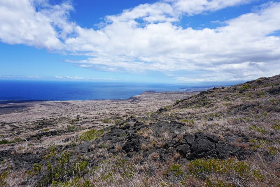 ChallengingKeauhou Trail15.2 mi · 8.5 hr · 5.8 mi awayLava ridges lead to a freshwater seep on the remote coast.
 ChallengingMakaopuhi Crater Trail8.2 mi · 5 hr · 7.7 mi awayA long lava crossing opens at a steep, forested crater rim.
 ModerateMaunaulu / Puʻuhuluhulu Trail2.5 mi · 2.5 hr · 7.7 mi awayCross 1969 lava flows to a forested cone and its viewing platform.
 ChallengingNāpau Trail12.4 mi · 7.2 hr · 7.7 mi awayCross old lava rivers into a fern forest and a crater overlook.
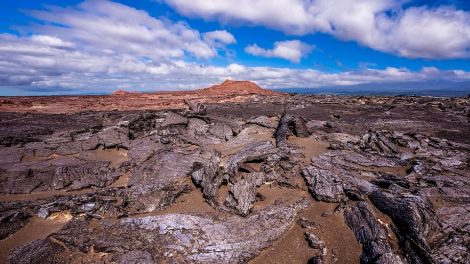 ModerateMaunaiki Trail7 mi · 4.5 hr · 10.2 mi awayA rough lava route through the Kaʻū Desert to Hilina Pali Road.
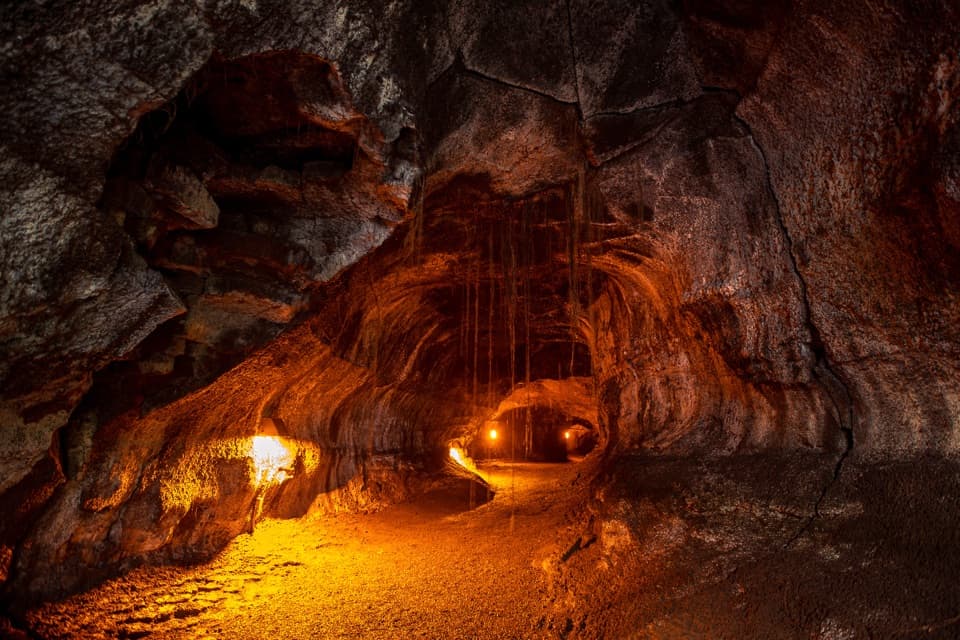 EasyNāhuku (Thurston Lava Tube) Trail0.4 mi · 30 min · 11.2 mi awayA short ferny walk leads into a 500-year-old lava tube.Sight · 0.6 mi awayPuʻuloa PetroglyphsWalk rough lava to a field of more than 23,000 petroglyphs.
 Sight · 1.8 mi awayAlanui KahikoA short walk reveals road pavement trapped by lava.
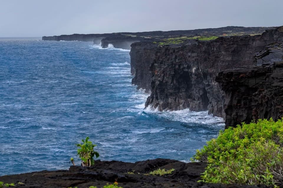 Sight · 2.1 mi awayHōlei Sea ArchThe sea arch is gone; the black-lava coast remains.
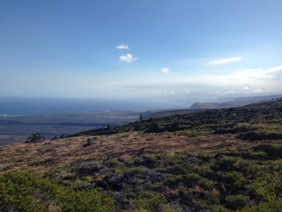 Sight · 2.8 mi awayKealakomo OverlookA coastal overlook above a village buried by lava.
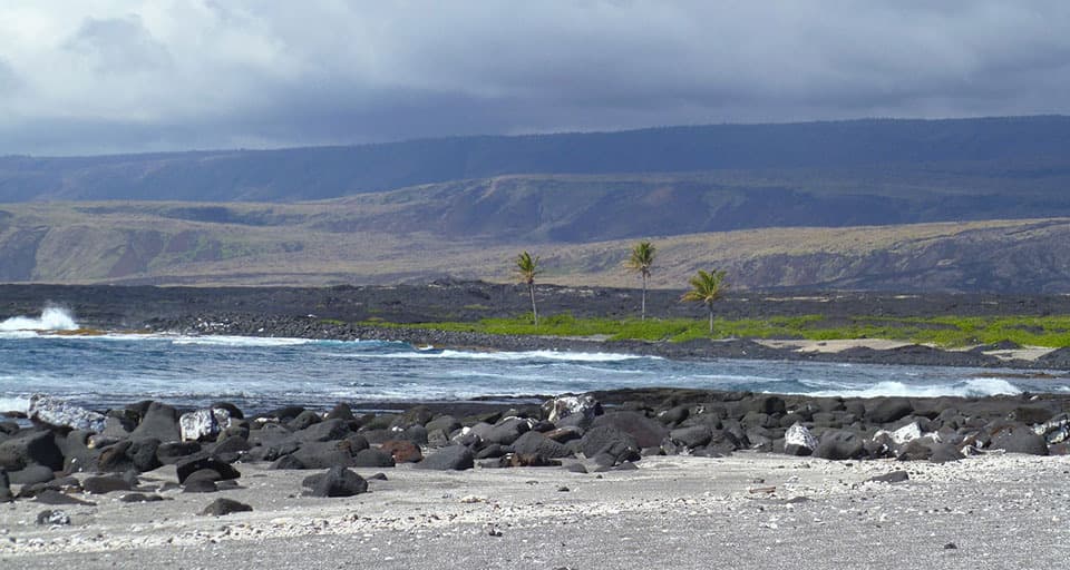 Campground · 4.7 mi awayʻĀpua PointA palm grove at the end of a long, exposed coastal hike.
 Sight · 4.9 mi awayMuliwai a PeleA three-day lava river left its own channels and levees.
 Scenic pullout · 5.8 mi awayMau Loa o MaunauluSee Maunaulu's glassy 1969–74 lava field from the road.
 Sight · 5.9 mi awayMakaopuhi Crater OverlookKīlauea’s largest pit crater, with a blue lava lens on its wall.
Parkwolf’s Hawaiʻi Volcanoes ranking
The audio tour guide for the drive, plus offline maps, trails, and wildlife heatmaps for when the signal drops.