Balanced Rock in Hot Springs National Park

Sight · Hot Springs National Park

Balanced Rock

A quiet ridge hike ends at a novaculite outcrop and wide view.

Photo: National Park Service
Type
Sight
Nearest trail
0.8 mi
Audio stories
15 nearby
  • Scenic viewpoint
  • Parking
  • Trailhead

Hear the audio tour

Cedar Glades Trailhead: Balanced Rock

Overview

About Balanced Rock

Why stop

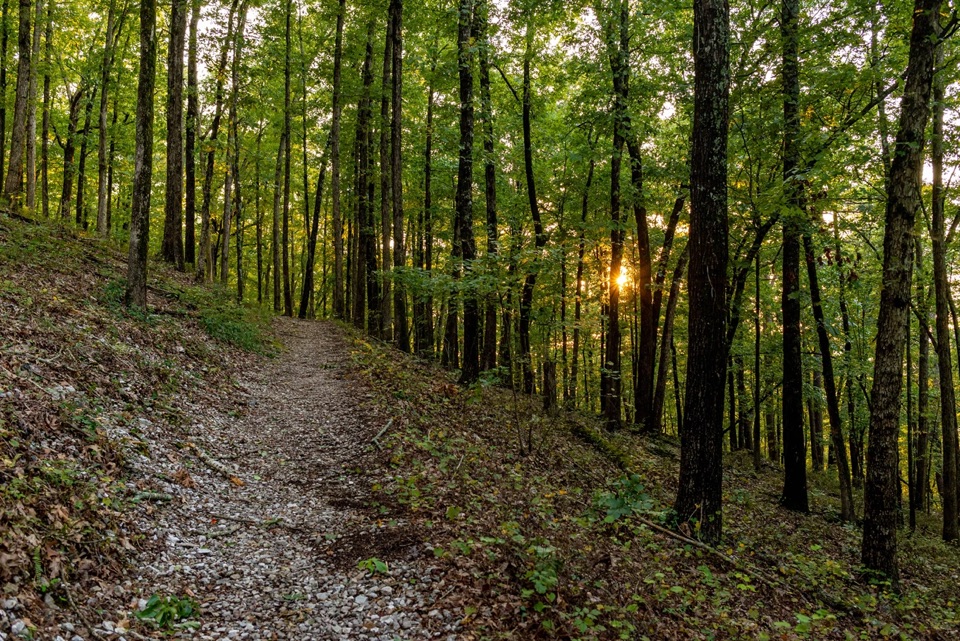
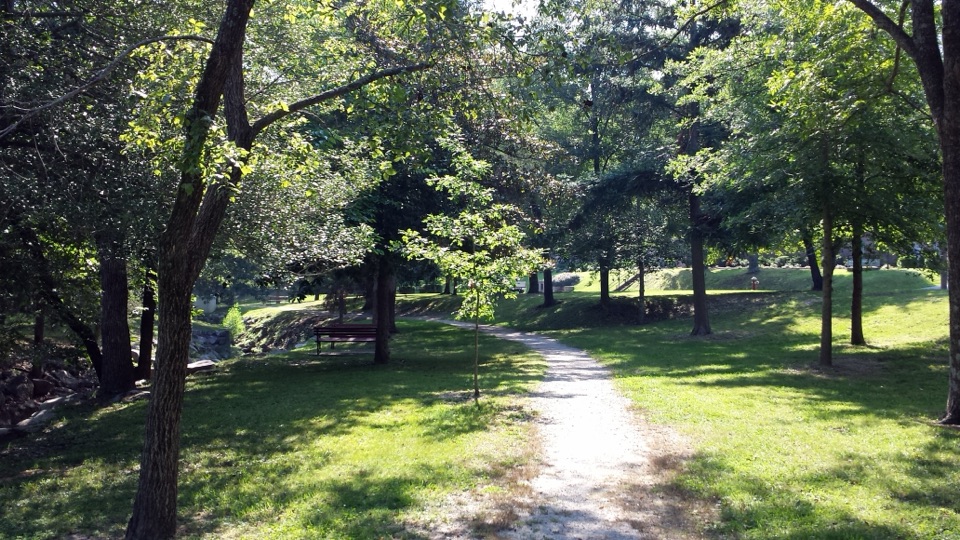
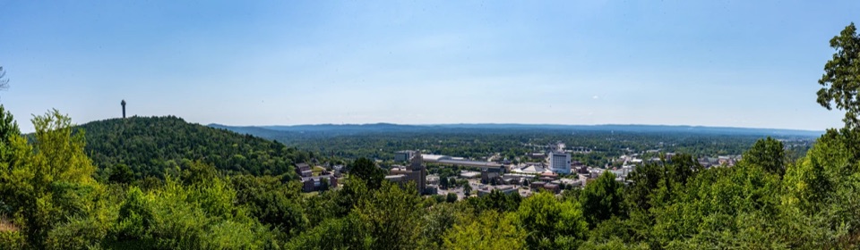
  • A quiet woodland walk to a broad view of forested ridges.

Heads up

  • Access is on foot, with a steep, rocky stretch near Cedar Glades.

Map

Where it is

Loading the Hot Springs map
Full map
SightBalanced Rock34.52480, -93.07494
Keep this map with you offline in the Parkwolf app

Plan your stop

Before you go

2 active Hot Springs alerts

  • CautionPark-wide burn ban in effectA park-wide burn ban is in effect because of high fire danger. - The ban was enacted on August 15, 2026.Official details
  • ClosureMaurice Bathhouse closed for renovationsThe Maurice Bathhouse is currently closed for renovations. - Do not plan to use the building during your visit. Check current Bathhouse Row status before visiting.Official details

Hot Springs alerts
A park ranger sits on a dash-mounted phone, talking, as Parkwolf’s Tour Guide plays “Army Cutworm Moths: A Grizzly Bear Buffet” on Grand Loop Road below Dunraven Pass in Yellowstone
Parkwolf Tour GuideThe highest, rockiest slopes around here are a summer buffet for grizzly bears.

Hot Springs Tour Guide

Your drive to Balanced Rock, narrated.

Parkwolf is a GPS audio tour guide for Hot Springs National Park. As you drive, it chimes in with what’s ahead: hidden gems, upcoming stops, history, geology, and wildlife, right through your car’s speakers.

Recorded for this place

Cedar Glades Trailhead: Balanced Rock
0:00 / 0:22
“You're coming up on the Cedar Glades Road trailhead for Balanced Rock, a hike for ridge views rather than a huge rock formation.”

Plays as you drive up to Balanced Rock in the Parkwolf Hot Springs Tour Guide.

More stories near here in the app

  • An Ocean Tilted into Mountains
  • Whittington Park: Old Bridges and Cold Spring Water
  • The People Behind the Baths
  • West Mountain Summit: The Southern View
  • 18 audio storiesacross Hot Springs’s roads, triggered by GPS as you drive
  • Wildlife heatmapsfor White-tailed Deer, Groundhog, Mexican Long-nosed Armadillo, and 13 more
  • Works offlinemaps, 19 trails, 33 places, and audio download before you lose signal
  • CarPlay readysimple controls built for the drive
★★★★★
“Fantastic app with many points of information… It’s great to just turn on while you’re driving and it gives you an audio tour of the national Park. We love it!!!!”
JMJamesApp Store review
Download Parkwolf on the App StoreGet Parkwolf on Google Play

4.7 from 8,600+ ratings

Guide

More about Balanced Rock

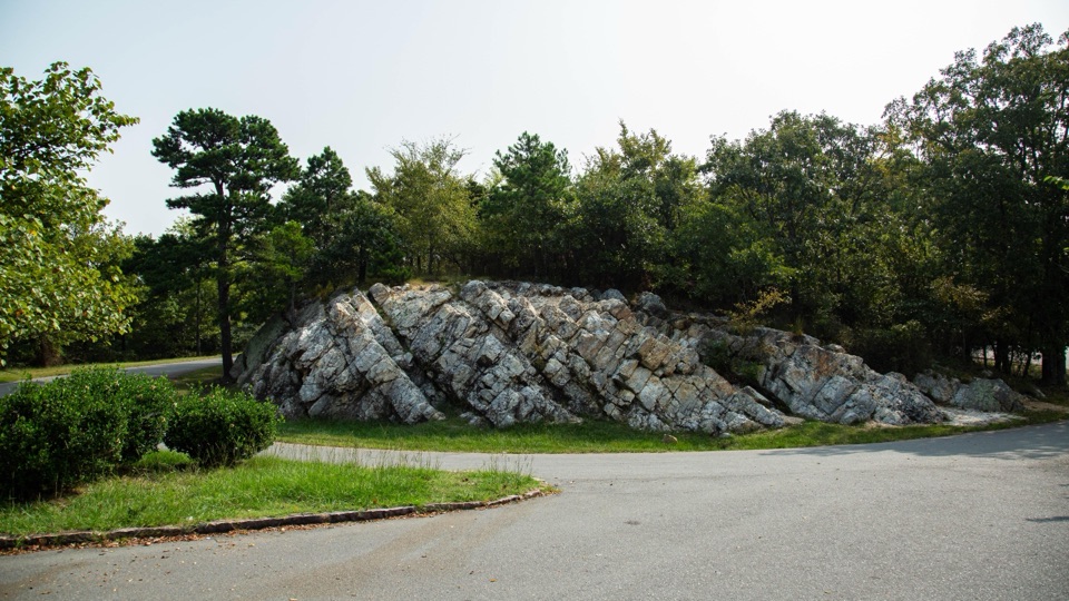
A rock reached by trailBalanced Rock is a large Arkansas novaculite outcrop on Sugarloaf Mountain, where Sunset Trail…

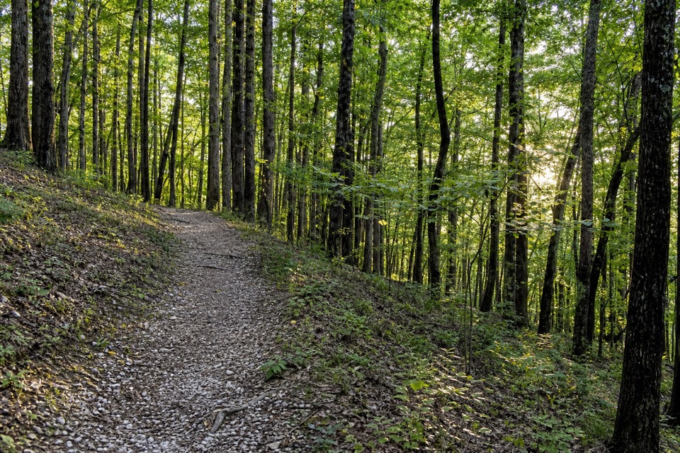
Balanced Rock is a large Arkansas novaculite outcrop on Sugarloaf Mountain, where Sunset Trail crosses a wooded ridge. The broad view and quiet walk are the main draw. It is reached on foot rather than from a roadside pullout; some visitors find the rock itself modest after the approach.

The spur and the steep sectionThe rock is reached by a 0.2-mile spur off the Sugarloaf section of Sunset Trail.

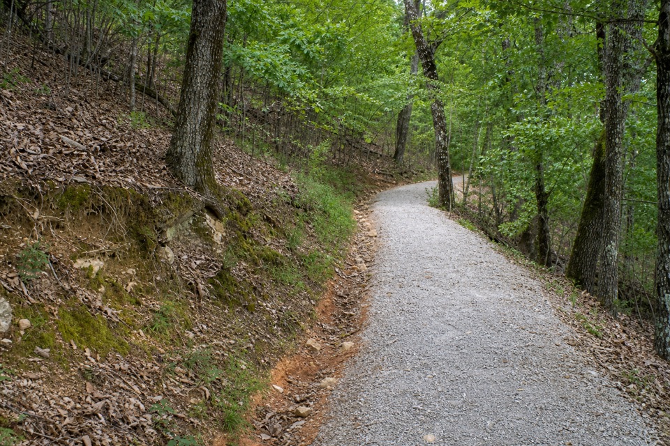
The rock is reached by a 0.2-mile spur off the Sugarloaf section of Sunset Trail. That trail section runs between Blacksnake and Cedar Glades roads, with parking at both ends; the spur is only the final connection, not the full hike from a car park. The turnoff is about a mile from Cedar Glades Road. A short part of the trail near Cedar Glades is very steep and rocky, and visitors report loose footing, so leave time for a careful descent.

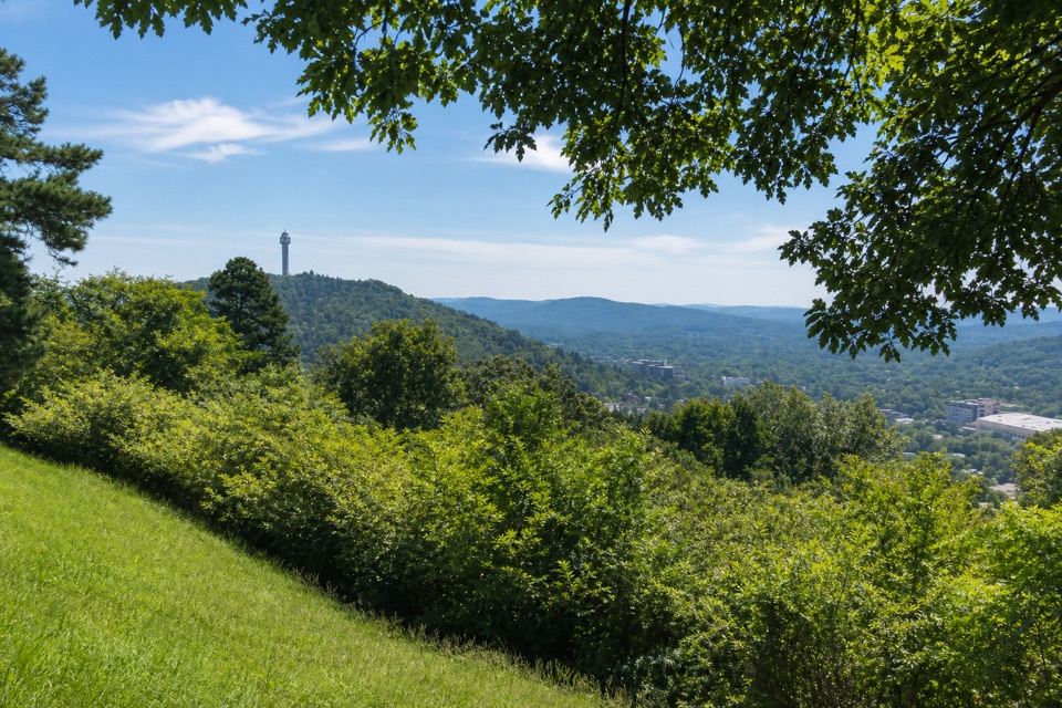
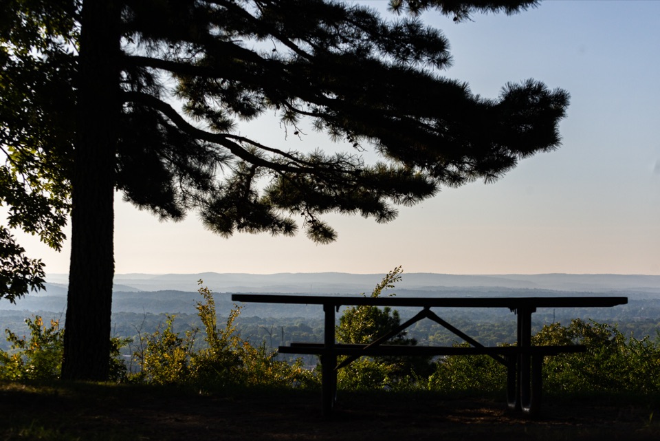
Take in the ridgeThe view opens across forested ridges.

The view opens across forested ridges. For a photo, keep the near tree canopy at the bottom of the frame; it gives the long layers of wooded hills some depth instead of turning them into one dark band.

A stone with a useful fractureThis is Arkansas novaculite, whose predictable, cone-shaped fracture made it useful for shaping…

This is Arkansas novaculite, whose predictable, cone-shaped fracture made it useful for shaping tools such as arrowheads, blades, and drills. That toolmaking story belongs to novaculite across the region, rather than to a specific find at this outcrop.

Wildlife along the trailWild turkey, white-tailed deer, and vultures are among the wildlife reported along this remote…

Wild turkey, white-tailed deer, and vultures are among the wildlife reported along this remote trail area. They are possibilities on the walk, not a promise at the rock itself.

Wildlife

Wildlife in Hot Springs

All Hot Springs wildlife maps

Sighting maps show where each species has been reported across Hot Springs. Wildlife moves, so no sighting is guaranteed.

Keep exploring

Near Balanced Rock

See it all on the map

Trails nearby

More stops nearby

Parkwolf’s Hot Springs ranking

Top sights in Hot Springs

All 33 places
  1. 1Fordyce Bathhouse Visitor Center and MuseumSight
  2. 2Buckstaff BathhouseSight
  3. 3Quapaw Baths & SpaSight
  4. 4Hot Springs Mountain TowerSight
  5. 5Hot Water CascadeSight
  6. 6Display SpringSight

Take Parkwolf to Hot Springs.

The audio tour guide for the drive, plus offline maps, trails, and wildlife heatmaps for when the signal drops.

4.7 from 8,600+ ratings

Download Parkwolf on the App StoreGet Parkwolf on Google Play