Bow Lake Lakeshore Trail in Icefields Parkway (Highway 93)

Icefields Parkway (Highway 93), AB

Bow Lake Lakeshore Trail

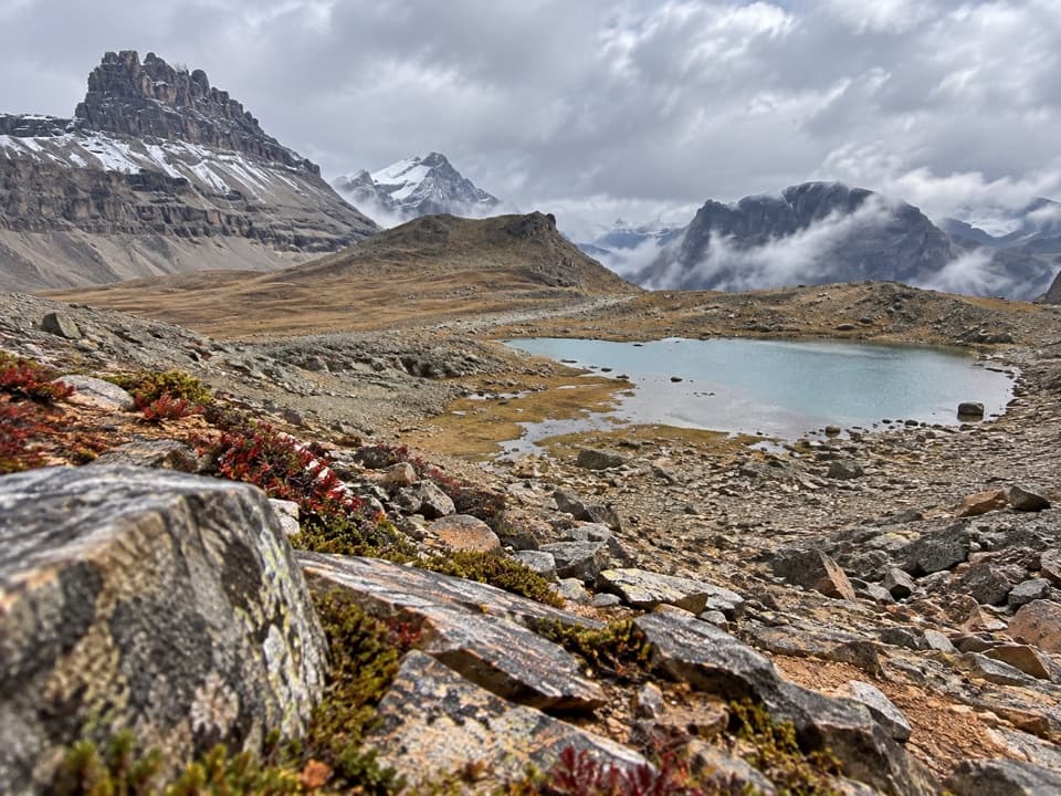
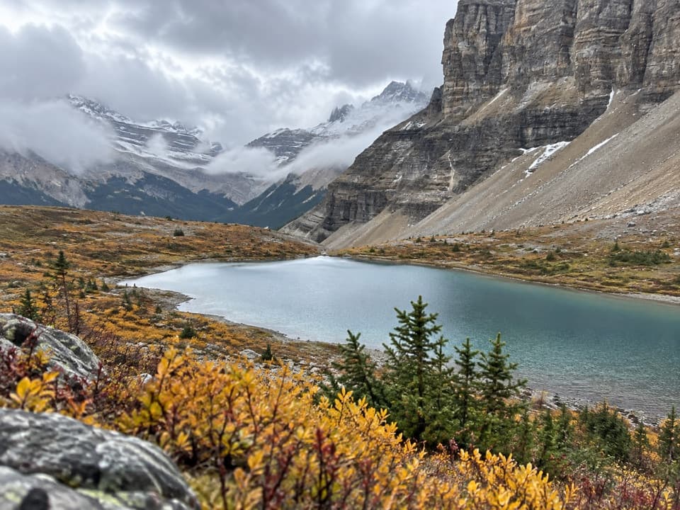
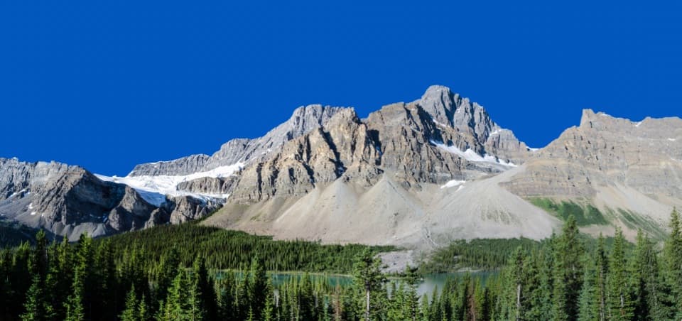
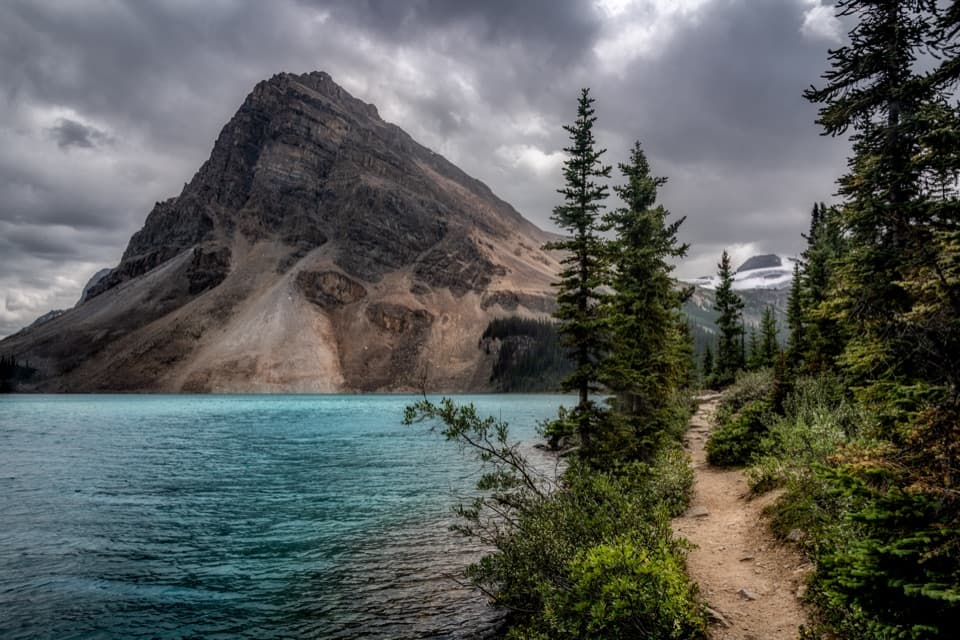
An easy lakeshore walk with Bow Lake and Crowfoot Mountain in view.

Photo: Wikimedia Commons
Length
3.8km
Time
1hr
Elev. change
15m
Difficulty
Easy
  • Dogs allowed
  • High point 1,953 m
  • #25 of 54 in Icefields Parkway

Hear the audio tour

Bow Lake: Shore Walk and a Bite

Overview

About Bow Lake Lakeshore Trail

Why go

  • Easy, near-level walking beside turquoise water with Crowfoot Mountain across the lake.
  • A clear turnaround keeps the short shore walk separate from the longer falls route.

Heads up

  • The far shore can be marshy, and the return follows the same path.
Bow Lake Lakeshore Trail is an easy, mostly level out-and-back from Bow Lake Parking Lot A to the foot of the stairs at the far end of the shore. The mapped line is about 2.4 miles (3.8 km) round trip; another published GPS figure is 3.4 km, so treat the total as approximate. Allow about an hour. I’d choose this when you want a leg-stretch beside the water: the roadside viewpoint takes less time, while Bow Glacier Falls is a much longer outing.
Parkwolf’s verdictIs this the walk for you?

Map & elevation

The route

Loading the Icefields Parkway map
Full map
Elevation1,938–1,953 m
TrailheadBow Lake Parking Lot A51.67902, -116.46425
Keep this map with you offline in the Parkwolf app

Plan your hike

Before you go

Parking

Start at Bow Lake Parking Lot A beside Num-Ti-Jah Lodge, off the Icefields Parkway. The main lot fills quickly in busy periods. Parks Canada marks the nearby viewpoint and day-use area as summer-only, while published trail information also describes the walk as year-round; check current access details before an off-season visit.

Safety

The shoreline can be marshy near the far end. Turn around at the foot of the stairs for this short walk; the routes beyond continue toward Bow Glacier Falls or Bow Hut.

2 active Icefields Parkway alerts

  • ClosureWildfire-impacted area closures in JasperStay out of the closed wildfire-impacted areas in Jasper National Park; access is prohibited or restricted to protect public safety.Official details
  • ClosureOpal Hills hiking area closed for grizzly bearThe Opal Hills hiking area is closed because a female grizzly bear with two offspring is in the area. - The closure took effect September 25, 2026, and remains in effect until further notice.Official details
Icefields Parkway alerts
A park ranger sits on a dash-mounted phone, talking, as Parkwolf’s Tour Guide plays “Army Cutworm Moths: A Grizzly Bear Buffet” on Grand Loop Road below Dunraven Pass in Yellowstone
Parkwolf Tour GuideThe highest, rockiest slopes around here are a summer buffet for grizzly bears.

Icefields Parkway Tour Guide

Your drive to Bow Lake Lakeshore Trail, narrated.

Parkwolf is a GPS audio tour guide for Icefields Parkway (Highway 93). As you drive, it chimes in with what’s ahead: hidden gems, upcoming stops, history, geology, and wildlife, right through your car’s speakers.

See the Icefields Parkway audio tour

Recorded for this trailhead

Bow Lake: Shore Walk and a Bite
0:00 / 0:31
“You're nearing Bow Lake's north-shore access, by The Lodge at Bow Lake. I'd stop here for a short walk down to the water, with Crowfoot Mountain across the lake.”

Plays as you drive up to this trailhead in the Parkwolf Icefields Parkway Tour Guide.

More stories near here in the app

  • Bow Lake Day-use Area: A Lakeside Picnic
  • Crowfoot Glacier: The Missing Toe
  • When Snow Turns Pink
  • Crowfoot Pass: The River-Crossing Decision
  • 141 audio storiesacross Icefields Parkway’s roads, triggered by GPS as you drive
  • Wildlife heatmapsfor Grizzly Bear, Black Bear, Moose, and 13 more
  • Works offlinemaps, 54 trails, 57 places, and audio download before you lose signal
  • CarPlay readysimple controls built for the drive
★★★★★
“Fantastic app with many points of information… It’s great to just turn on while you’re driving and it gives you an audio tour of the national Park. We love it!!!!”
JMJamesApp Store review
Download Parkwolf on the App StoreGet Parkwolf on Google Play

4.7 from 8,600+ ratings

Trail guide

Hiking Bow Lake Lakeshore Trail

Follow the shore, then turn aroundThe path stays close to the water for most of the walk, with open views across to Crowfoot…

The path stays close to the water for most of the walk, with open views across to Crowfoot Mountain. The far end can be marshy. For this short route, turn back at the foot of the stairs; continuing beyond them leads toward Bow Glacier Falls or Bow Hut and becomes a different, longer hike. Dogs are allowed, but Parks Canada requires them to stay under control on a leash no longer than 3 metres.

Look across the waterMeltwater from Bow Glacier carries fine glacial silt into Bow Lake, giving it that opaque…

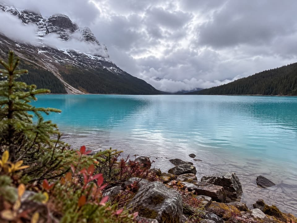
Meltwater from Bow Glacier carries fine glacial silt into Bow Lake, giving it that opaque blue-green color. Crowfoot Glacier has retreated from the three-toed outline that gave it its name, though a small piece of the old shape remains visible from the far end of the shore. On a calm day, look for the surrounding peaks reflected in the water.

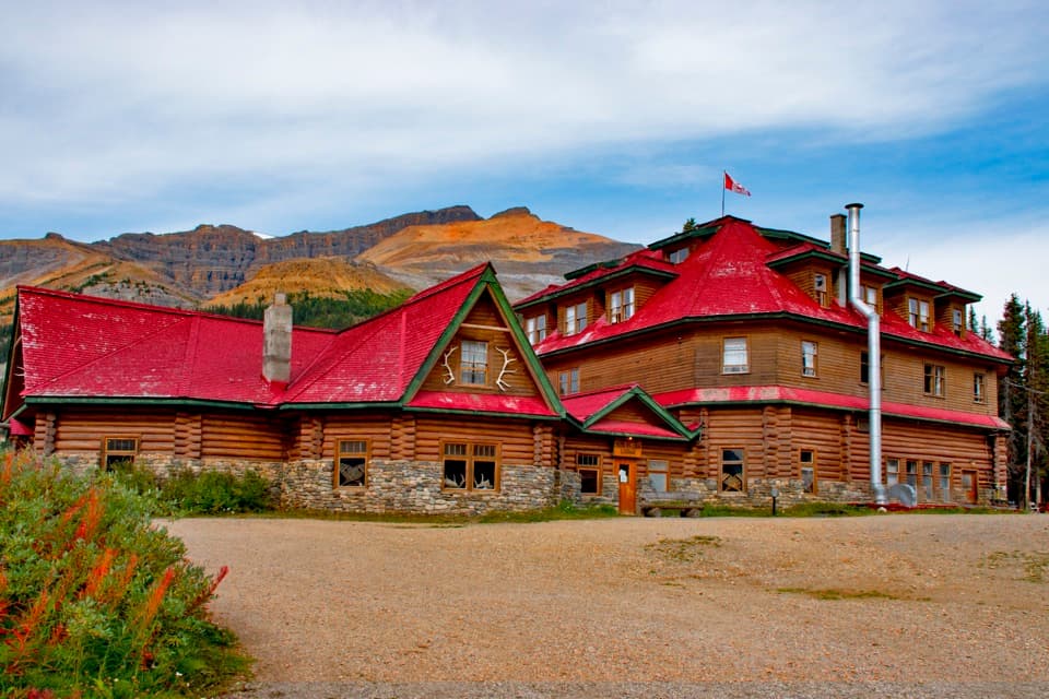
Num-Ti-Jah LodgeThe lodge sits beside the starting lot.

The lodge sits beside the starting lot. Jimmy and Billie Simpson began building it after the Icefields Parkway reached Bow Lake in 1937. It had six guest rooms by 1940, then grew into a 16-room log-and-stone hotel by 1950. It’s a good bit of Parkway history to notice as you start and finish.

Wildlife

Wildlife in Icefields Parkway

All Icefields Parkway wildlife maps

Sighting maps show where each species has been reported across Icefields Parkway. Wildlife moves, so no sighting is guaranteed.

Keep exploring

Near Bow Lake Lakeshore Trail

See it all on the map

Trails that start nearby

Places near the trailhead

Parkwolf’s Icefields Parkway ranking

Top-rated trails in Icefields Parkway

All 54 trails
  1. 1Parker Ridge TrailModerate · 5.6 km
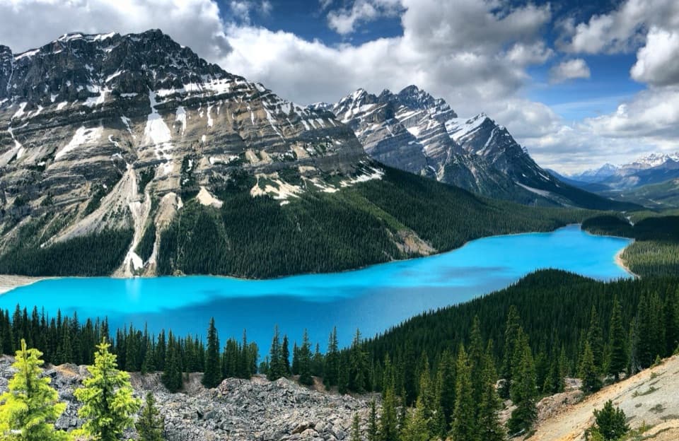
  2. 2Peyto Lake Lookout TrailEasy · 1.2 km
  3. 3Wilcox PassModerate · 6.8 km
  4. 4Bow Glacier Falls TrailModerate · 9.1 km
  5. 5Helen Lake TrailModerate · 11.8 km
  6. 6Path of the Glacier TrailModerate · 1.6 km

Take Parkwolf to Icefields Parkway.

The audio tour guide for the drive, plus offline maps, trails, and wildlife heatmaps for when the signal drops.

4.7 from 8,600+ ratings

Download Parkwolf on the App StoreGet Parkwolf on Google Play