Parking
Small gravel pullout on the Icefields Parkway about 1 km south of Crowfoot Glacier Viewpoint. Walk the shoulder toward Lake Louise for roughly 350 m to the faint path down; park considerately and leave room for other vehicles.
Icefields Parkway (Highway 93), AB
A river ford leads to pass tarns and a tucked-away ridge view.
Overview
Map & elevation
Plan your hike

The highest, rockiest slopes around here are a summer buffet for grizzly bears.
Icefields Parkway Tour Guide
Parkwolf is a GPS audio tour guide for Icefields Parkway (Highway 93). As you drive, it chimes in with what’s ahead: hidden gems, upcoming stops, history, geology, and wildlife, right through your car’s speakers.
See the Icefields Parkway audio tourRecorded for this trailhead
Crowfoot Pass: The River-Crossing Decision“You're coming up on the Crowfoot Pass pullout; reaching the faint trail involves walking along the highway shoulder.”
Plays as you drive up to this trailhead in the Parkwolf Icefields Parkway Tour Guide.
More stories near here in the app
“Fantastic app with many points of information… It’s great to just turn on while you’re driving and it gives you an audio tour of the national Park. We love it!!!!”


Trail guide
Crowfoot Pass and Balfour Viewpoint is an unofficial, hard out-and-back: 15.5 km (9.6 miles) round trip from a small Icefields Parkway pullout, with about 790 m of cumulative climbing. Give it five to seven hours. The reward is a pair of tarns below a broad pass, then an alpine ridge looking toward Mount Balfour, the Waputik Icefield and Hector Lake. Choose it only if you are comfortable finding your way and wading a substantial river; turn around if the crossing is unsafe. The route is mapped one way, but the distance includes the return.
The gravel pullout is roughly 1 km south of Crowfoot Glacier Viewpoint. Walk the highway shoulder toward Lake Louise for about 350 m, past a culvert, then look for a faint descent through tight trees. It is easy to miss; the path becomes clearer once it reaches the plain. After roughly another 800 m, you reach Bow Lake’s outlet, where the Bow River begins. The ford is cold and has a noticeable current; water depth varies. Water shoes and poles help, but do not cross if the flow is beyond your comfort or ability.
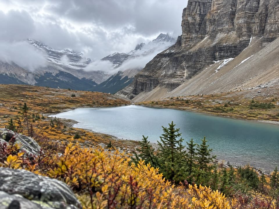
On the far bank, a path follows the Bow through dense forest and several smaller stream crossings. Mud and fallen trees can slow this stretch. The climb then leaves the trees beside glacial moraine and reaches two small tarns just below Crowfoot Pass. They make the best photo stop when the wind drops and the water reflects the cliffs.
The pass is broad and open. For the Balfour viewpoint, continue down the valley, cross another stream and climb back to a ridge. From there, Mount Balfour and the Waputik Icefield rise behind a large waterfall that drains toward Hector Lake. Note where you gained the ridge before wandering along it; it is easy to lose the return line in open terrain. Retrace the same route to the highway. The optional Bow Peak scramble is a separate, steep boulder climb and is not included in this hike or its distance.
You must ford the Bow again on the way back, and its level can rise later in the day. Parks Canada warns that high passes and river crossings can be impassable in late spring and early summer, so check conditions before setting out. There is no toilet at the pullout. A national park pass is required when stopping on the Icefields Parkway, and dogs must remain leashed and under physical control in Banff.
Wildlife
 12 sightingsGrizzly BearMost seen around 6 AMSighting map
 127 sightingsBlack BearMost seen around 7 PMSighting map
 16 sightingsMooseMost seen around 6 AMSighting map
 100 sightingsElkMost seen around 8 PMSighting map
 34 sightingsMountain GoatMost seen around 7 PMSighting map
 53 sightingsBighorn SheepMost seen around 6 PMSighting map
Sighting maps show where each species has been reported across Icefields Parkway. Wildlife moves, so no sighting is guaranteed.
Keep exploring
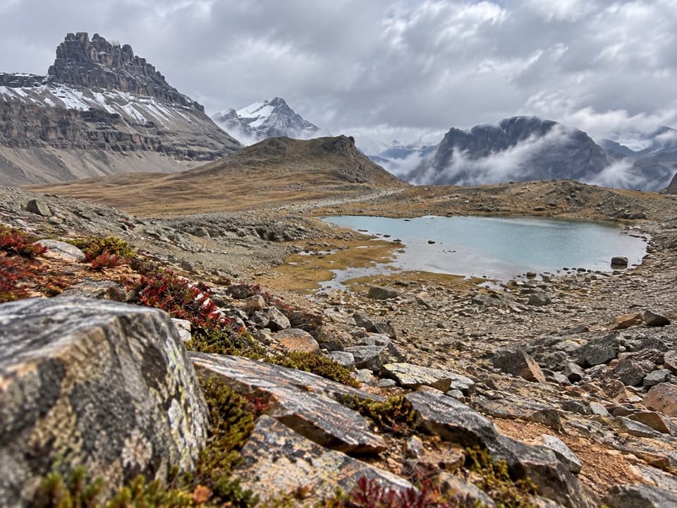 ChallengingDolomite Pass Trail17.7 km · 6.5 hr · 1.1 km awayA long alpine climb to two lakes and an unmarked pass.
 ModerateHelen Lake Trail11.8 km · 4.5 hr · 1.1 km awayA long climb opens to a high meadow beneath Dolomite Peak.
 ModerateBow Glacier Falls Trail9.1 km · 4 hr · 3.5 km awayBow Lake’s shore opens to a steep climb beneath the glacier.
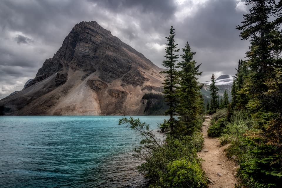 EasyBow Lake Lakeshore Trail3.8 km · 1 hr · 3.5 km awayAn easy lakeshore walk with Bow Lake and Crowfoot Mountain in view.
 ChallengingBow Hut Route15.6 km · 5.5 hr · 3.5 km awayA rough alpine approach to a hut above Bow Lake.
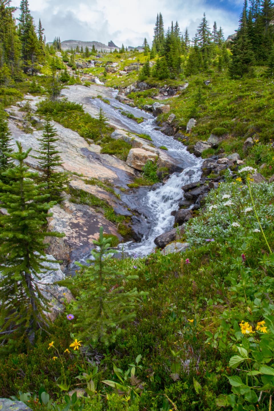 ChallengingNorth Molar Pass Trail24 km · 7.5 hr · 7.4 km awayA full-day climb to alpine flowers and a high, rocky pass.
 ModerateMosquito Creek Trail10 km · 3 hr · 7.4 km awayFollow a forested valley to the creekside Mo5 campground.
 ChallengingDevon Lakes via Fish Lakes56.1 km · 20 hr · 7.4 km awayA remote four-day backpack to alpine lakes over three high passes.
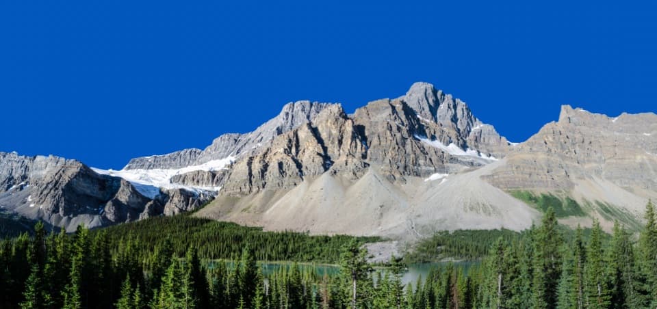 Scenic pullout · 1 km awayCrowfoot Glacier ViewpointA roadside glacier view with a vanished third toe.
 Picnic area · 2.3 km awayBow Lake Viewpoint and Day-use AreaA glacial lake view, with a lakeside picnic stop below.
 Sight · 3.5 km awayBow LakeA short shore walk gets you to turquoise water beneath glaciers.
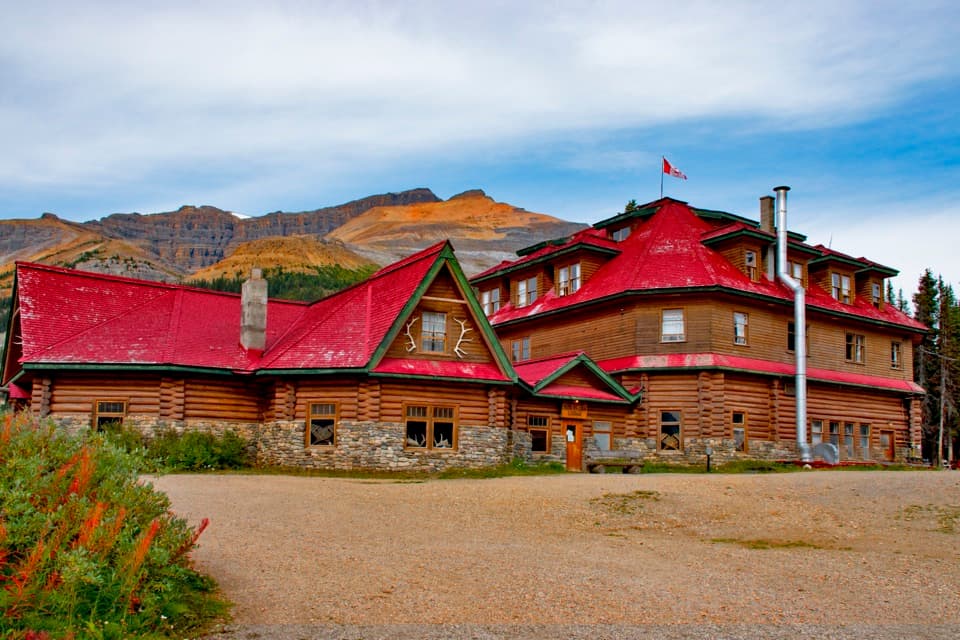 Lodging · 3.6 km awayThe Lodge at Bow LakeA historic red-roofed lodge with a day-visitor shop by the lake.Sight · 5 km awayBow Glacier FallsA glacier-fed cascade at the end of a half-day hike.
 Sight · 6.8 km awayBow Summit ViewpointA longer hike beyond Peyto's platform into a high alpine lookout.
 Campground · 7.2 km awayMosquito Creek CampgroundA 38-site unserviced campground with water, shelters and food lockers.
 Lodging · 7.3 km awayHI Mosquito Creek Wilderness HostelA no-frills base for hikes, snowshoeing and backcountry skiing.
Parkwolf’s Icefields Parkway ranking

The audio tour guide for the drive, plus offline maps, trails, and wildlife heatmaps for when the signal drops.



