Parking
Use the unmarked Peyto Lake access pullout on the Icefields Parkway, just north of the main entrance. It is separate from the signed lower and upper viewpoint parking.
Icefields Parkway (Highway 93), AB
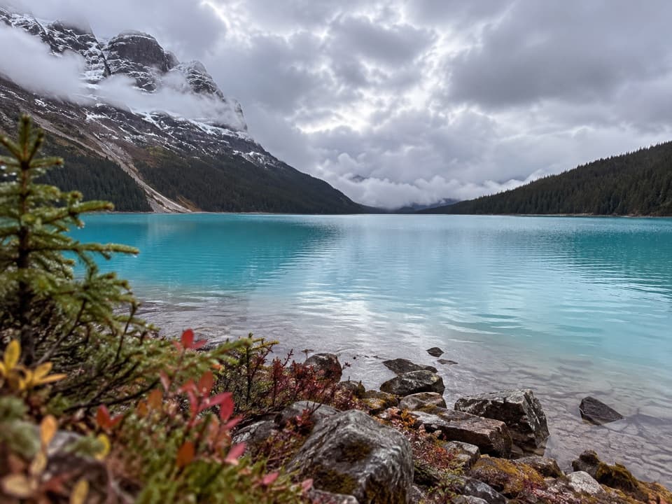
A steep, rough descent to Peyto Lake’s actual shoreline.
Overview
Map & elevation
Plan your hike

The highest, rockiest slopes around here are a summer buffet for grizzly bears.
Icefields Parkway Tour Guide
Parkwolf is a GPS audio tour guide for Icefields Parkway (Highway 93). As you drive, it chimes in with what’s ahead: hidden gems, upcoming stops, history, geology, and wildlife, right through your car’s speakers.
See the Icefields Parkway audio tourRecorded for this trailhead
Peyto Lake Shoreline: The Steep Way Down“Peyto Lake's shoreline trailhead is ahead, at a separate unmarked pullout north of the main viewpoint entrance.”
Plays as you drive up to this trailhead in the Parkwolf Icefields Parkway Tour Guide.
More stories near here in the app
“Fantastic app with many points of information… It’s great to just turn on while you’re driving and it gives you an audio tour of the national Park. We love it!!!!”


Trail guide
Peyto Lake Trail is a short but demanding out-and-back to the lake’s actual shoreline, about 1.5 miles round trip from a separate access pullout. Allow roughly 1–1.5 hours. Parks Canada calls it steep and rough and recommends it for experienced hikers; this is a different trip from the 0.3 km barrier-free walk to the high viewpoint or the longer Bow Summit route. If you want the classic view of Peyto’s wolf-head shape, the viewpoint is the better choice. This route takes you down to the water.
The route begins at an unmarked pullout just north of the main Peyto Lake entrance on the Icefields Parkway, separate from the signed viewpoint parking. Identify that pullout before setting out; the platform walk and the lakeshore descent do not share the same trailhead. Dogs are allowed on summer trails unless a restriction is posted, and must stay leashed.
The mileage hides the effort. The rough, unmaintained path descends toward the shore, then the way out is back up the same slope. There is no loop or easier exit. This suits hikers comfortable on steep, rough ground; sturdy footwear with good grip matters more here than the short distance suggests.
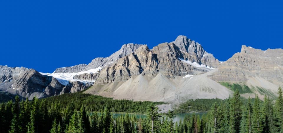
At the shore, the view changes from the high viewpoint’s outline to turquoise glacial water beneath forested slopes and mountain rock. Frame some of the uneven shoreline in the foreground to show that water-level perspective. If the goal is the iconic overhead shape, stay on the separate viewpoint trail instead.
Wildlife
 12 sightingsGrizzly BearMost seen around 6 AMSighting map
 127 sightingsBlack BearMost seen around 7 PMSighting map
 16 sightingsMooseMost seen around 6 AMSighting map
 100 sightingsElkMost seen around 8 PMSighting map
 34 sightingsMountain GoatMost seen around 7 PMSighting map
 53 sightingsBighorn SheepMost seen around 6 PMSighting map
Sighting maps show where each species has been reported across Icefields Parkway. Wildlife moves, so no sighting is guaranteed.
Keep exploring
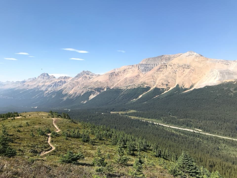 ModerateBow Summit Viewpoint Trail6.8 km · 2.5 hr · 2.6 km awayContinue past Peyto Lake for Bow Lake and wider mountain views.
 EasyPeyto Lake Lookout Trail1.2 km · 30 min · 2.7 km awayThe lake’s turquoise outline comes into view after a short climb.
 ModerateBow Glacier Falls Trail9.1 km · 4 hr · 7.5 km awayBow Lake’s shore opens to a steep climb beneath the glacier.
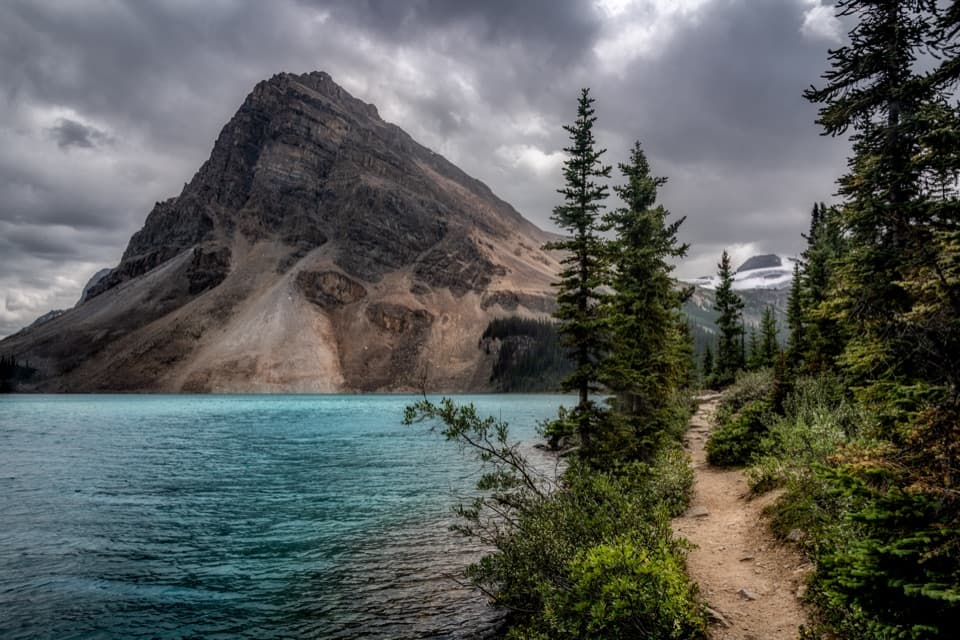 EasyBow Lake Lakeshore Trail3.8 km · 1 hr · 7.5 km awayAn easy lakeshore walk with Bow Lake and Crowfoot Mountain in view.
 ChallengingBow Hut Route15.6 km · 5.5 hr · 7.5 km awayA rough alpine approach to a hut above Bow Lake.
 ModerateHelen Lake Trail11.8 km · 4.5 hr · 9.8 km awayA long climb opens to a high meadow beneath Dolomite Peak.
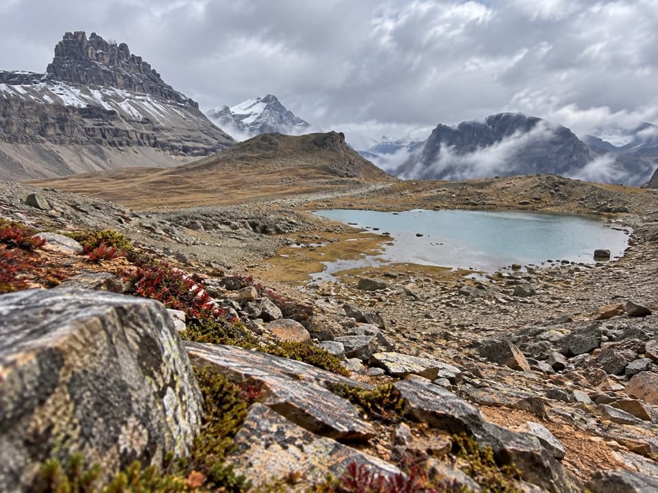 ChallengingDolomite Pass Trail17.7 km · 6.5 hr · 9.8 km awayA long alpine climb to two lakes and an unmarked pass.
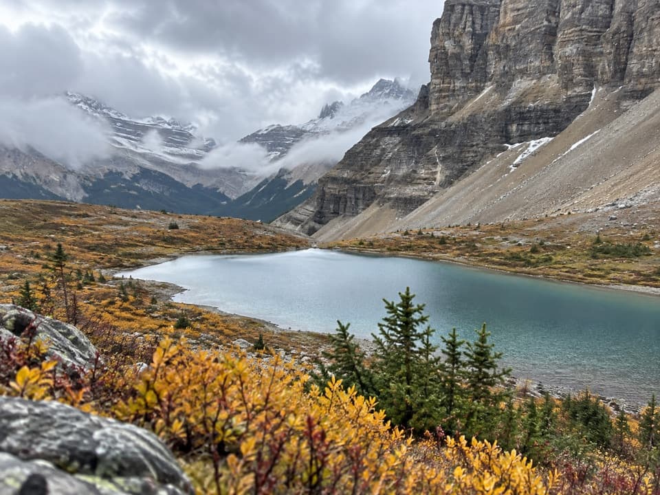 ChallengingCrowfoot Pass and Balfour Viewpoint Trail15.4 km · 6 hr · 10.8 km awayA river ford leads to pass tarns and a tucked-away ridge view.
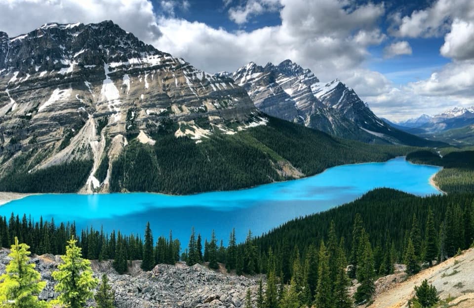 Sight · 2.5 km awayPeyto Lake ViewpointLook for a wolf's head in the turquoise lake below.
 Sight · 4.3 km awayBow Summit ViewpointA longer hike beyond Peyto's platform into a high alpine lookout.
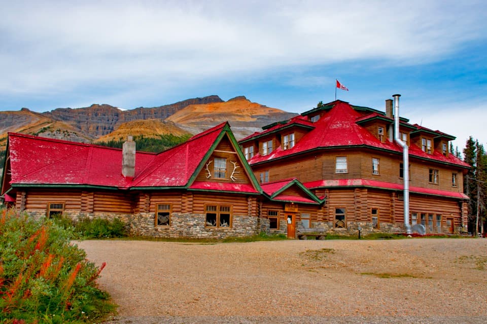 Lodging · 7.4 km awayThe Lodge at Bow LakeA historic red-roofed lodge with a day-visitor shop by the lake.
 Sight · 7.5 km awayBow LakeA short shore walk gets you to turquoise water beneath glaciers.
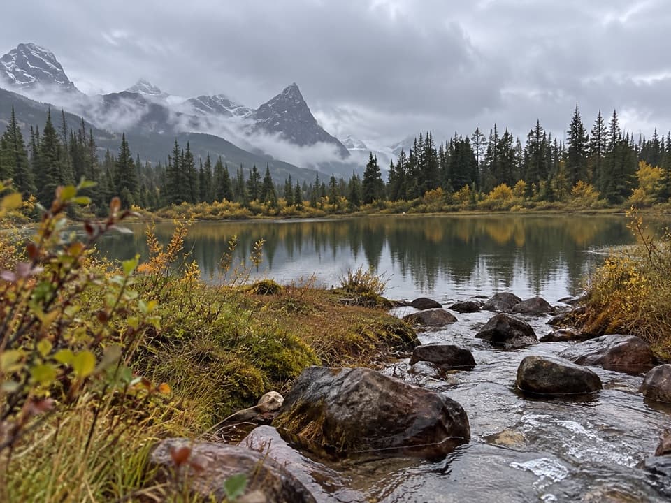 Campground · 8.4 km awaySilverhorn Creek CampgroundA simple night between big stops, with mountain views and creekside sites.
 Picnic area · 8.5 km awayBow Lake Viewpoint and Day-use AreaA glacial lake view, with a lakeside picnic stop below.Sight · 9.5 km awayBow Glacier FallsA glacier-fed cascade at the end of a half-day hike.
 Scenic pullout · 9.9 km awayCrowfoot Glacier ViewpointA roadside glacier view with a vanished third toe.
Parkwolf’s Icefields Parkway ranking

The audio tour guide for the drive, plus offline maps, trails, and wildlife heatmaps for when the signal drops.


