Parking
Use the small designated parking area just south of the Mosquito Creek campground turnoff; cross Highway 93N to the signed trail information stand. Roadside parking is prohibited.
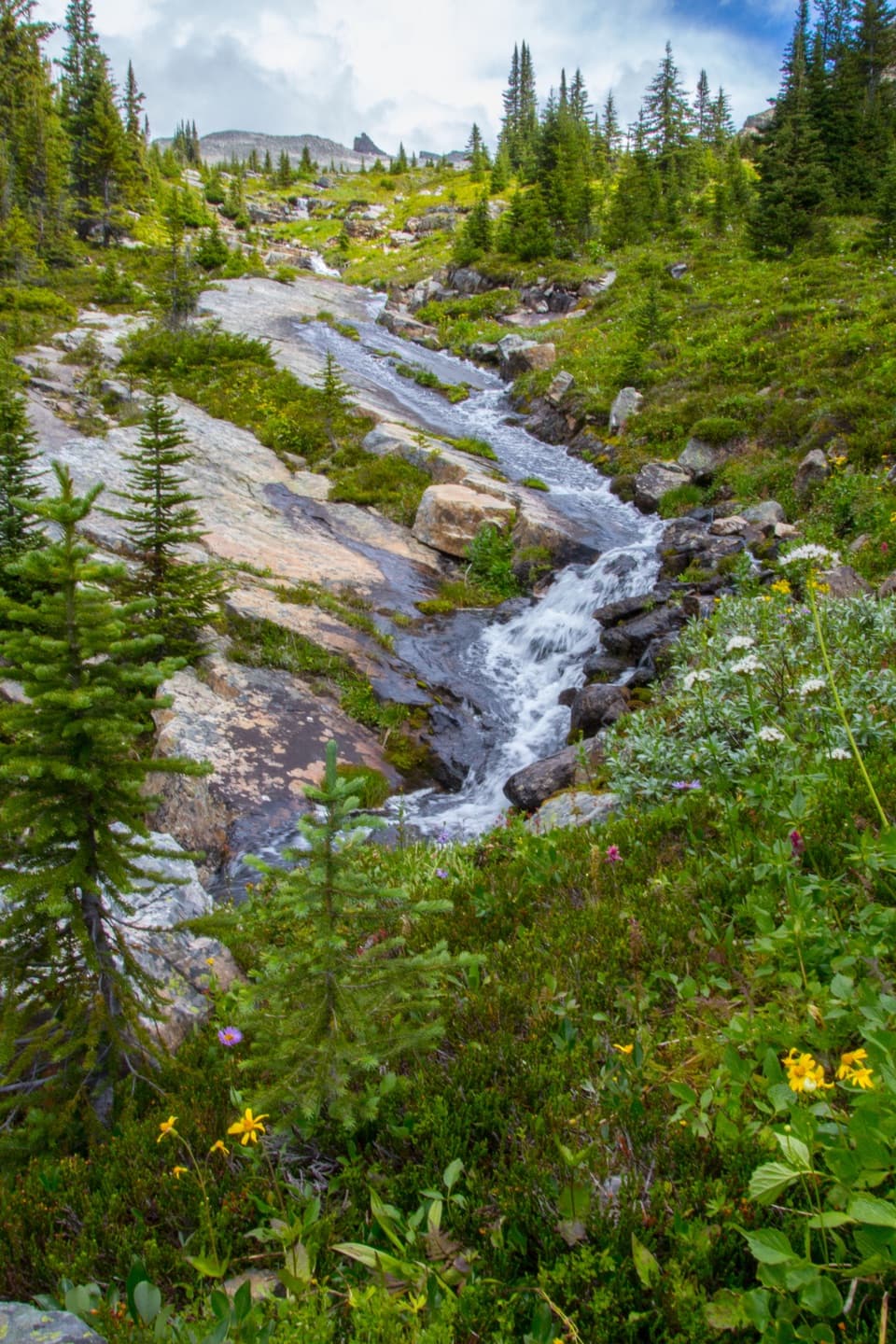
Icefields Parkway (Highway 93), AB
A full-day climb to alpine flowers and a high, rocky pass.
Overview
Map & elevation
Plan your hike

The highest, rockiest slopes around here are a summer buffet for grizzly bears.
Icefields Parkway Tour Guide
Parkwolf is a GPS audio tour guide for Icefields Parkway (Highway 93). As you drive, it chimes in with what’s ahead: hidden gems, upcoming stops, history, geology, and wildlife, right through your car’s speakers.
See the Icefields Parkway audio tourRecorded for this trailhead
Mosquito Creek: Camp, Hostel and Creekside Walk“You're approaching Mosquito Creek, a stop to consider if you're looking for a basic overnight base.”
Plays as you drive up to this trailhead in the Parkwolf Icefields Parkway Tour Guide.
More stories near here in the app
“Fantastic app with many points of information… It’s great to just turn on while you’re driving and it gives you an audio tour of the national Park. We love it!!!!”


Trail guide
North Molar Pass Trail is a difficult out-and-back from Mosquito Creek to a narrow alpine saddle, 14.9 miles (24 km) round trip. It follows the creek valley, climbs into a broad flower meadow beside Mosquito Lake, then gains the rocky pass; set aside 7–8 hours and expect about 750 m (2,460 ft) of climbing. The payoff is a high, open view toward the Fish Lakes valley, but this is a full-day mountain hike.
The trail climbs the bank beside Mosquito Creek, then levels through open conifer forest. A long clearing looks toward Dolomite Peak; it follows the former Wonder Road, an early predecessor to the Icefields Parkway. The first 1.9 km tracks the creek, then the route crosses open alluvial fans and avalanche paths among willow and scattered pine. Around 5 km in, Mosquito Creek backcountry campground has picnic tables by the water. Beyond it, cross the creek again and climb gently on a braided trail used by horse parties; the tread can turn muddy when wet.
About 2.5 km beyond the campground, a signed junction splits: the right branch goes to Molar Pass, while North Molar Pass is left. The North Molar branch climbs steeply through trees for about 1 km on loose, rocky braids before opening into a broad alpine meadow. If this day feels too long, the right fork is a separate, shorter Molar Pass hike, about 2.9 km less with 220 m less climbing.
The next kilometre rises gently through cotton grass, paintbrush and arnica, with Dolomite Mountain’s castellated towers to the west and Molar Mountain’s sharp ridge to the east. Flowers are usually strongest in late July and early August. The trail reaches shallow Mosquito Lake; follow the cairn at the outlet and climb the small bench rather than following faint tracks that peter out along the east shore. A stream and steep switchbacks through pale pink-orange scree and dark limestone lead to the narrow saddle at 2,590 m. The sides fall away steeply, with the Fish Lakes valley to the east. In the meadow, frame the flowers with Dolomite’s towers behind them; from the notch, include the valley below for scale.
Wildlife
 12 sightingsGrizzly BearMost seen around 6 AMSighting map
 127 sightingsBlack BearMost seen around 7 PMSighting map
 16 sightingsMooseMost seen around 6 AMSighting map
 100 sightingsElkMost seen around 8 PMSighting map
 34 sightingsMountain GoatMost seen around 7 PMSighting map
 53 sightingsBighorn SheepMost seen around 6 PMSighting map
Sighting maps show where each species has been reported across Icefields Parkway. Wildlife moves, so no sighting is guaranteed.
Keep exploring
 ModerateMosquito Creek Trail10 km · 3 hr · At the trailheadFollow a forested valley to the creekside Mo5 campground.
 ChallengingDevon Lakes via Fish Lakes56.1 km · 20 hr · At the trailheadA remote four-day backpack to alpine lakes over three high passes.
 ChallengingFish Lakes via North Molar Pass30 km · 13.5 hr · 0.1 km awayCross a high pass to camp beside remote alpine lakes
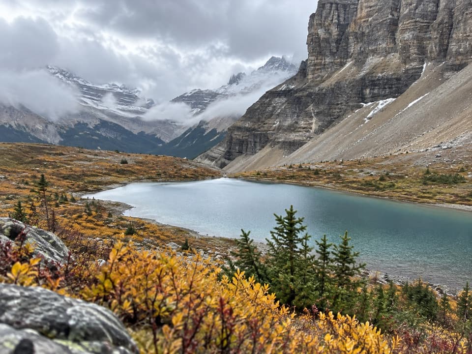 ChallengingCrowfoot Pass and Balfour Viewpoint Trail15.4 km · 6 hr · 7.4 km awayA river ford leads to pass tarns and a tucked-away ridge view.
 ModerateHelen Lake Trail11.8 km · 4.5 hr · 8.5 km awayA long climb opens to a high meadow beneath Dolomite Peak.
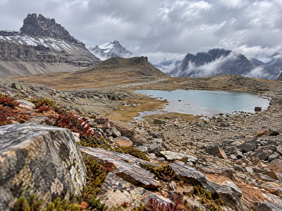 ChallengingDolomite Pass Trail17.7 km · 6.5 hr · 8.5 km awayA long alpine climb to two lakes and an unmarked pass.
 ModerateBow Glacier Falls Trail9.1 km · 4 hr · 10.8 km awayBow Lake’s shore opens to a steep climb beneath the glacier.
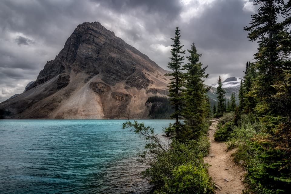 EasyBow Lake Lakeshore Trail3.8 km · 1 hr · 10.8 km awayAn easy lakeshore walk with Bow Lake and Crowfoot Mountain in view.
 Lodging · 0.2 km awayHI Mosquito Creek Wilderness HostelA no-frills base for hikes, snowshoeing and backcountry skiing.
 Campground · 0.2 km awayMosquito Creek CampgroundA 38-site unserviced campground with water, shelters and food lockers.
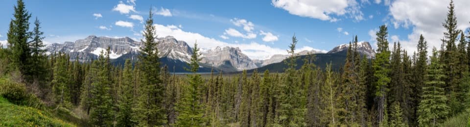 Scenic pullout · 4.9 km awayHector Lake ViewpointA brief stop for a distant lake glimpse beneath mountain peaks.
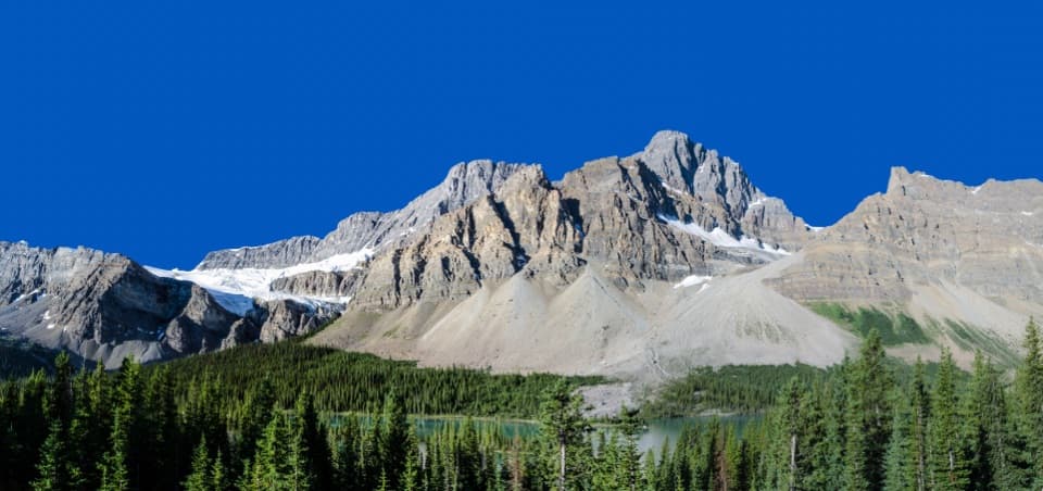 Scenic pullout · 8.4 km awayCrowfoot Glacier ViewpointA roadside glacier view with a vanished third toe.
 Picnic area · 9.7 km awayBow Lake Viewpoint and Day-use AreaA glacial lake view, with a lakeside picnic stop below.
 Sight · 10.8 km awayBow LakeA short shore walk gets you to turquoise water beneath glaciers.
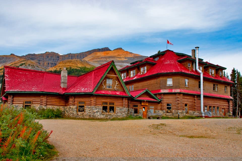 Lodging · 10.9 km awayThe Lodge at Bow LakeA historic red-roofed lodge with a day-visitor shop by the lake.Sight · 12 km awayBow Glacier FallsA glacier-fed cascade at the end of a half-day hike.
Parkwolf’s Icefields Parkway ranking

The audio tour guide for the drive, plus offline maps, trails, and wildlife heatmaps for when the signal drops.



