Little Calumet River and Mnoké Prairie Outer Loop in Indiana Dunes National Park

#7 of 34 trails in Indiana Dunes

Indiana Dunes National Park, IN

Little Calumet River and Mnoké Prairie Outer Loop

A river crossing and prairie link two historic sites in one loop.

Photo: National Park Service
Length
3.4mi
Time
2.5hr
Elev. change
75ft
Difficulty
Moderate
  • Loop
  • Dogs allowed
  • High point 681 ft

Hear the audio tour

Bailly–Chellberg: Houses with a History

Overview

About Little Calumet River and Mnoké Prairie Outer Loop

Why go

  • A full circuit joins historic sites, a river crossing and prairie.
  • Only 120 feet of gain; water and restrooms are at the start.

Heads up

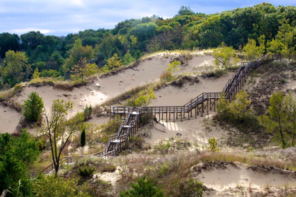
  • Stairs and muddy footing slow an otherwise easy-grade walk.
  • The long prairie section is open to sun and morning dew.
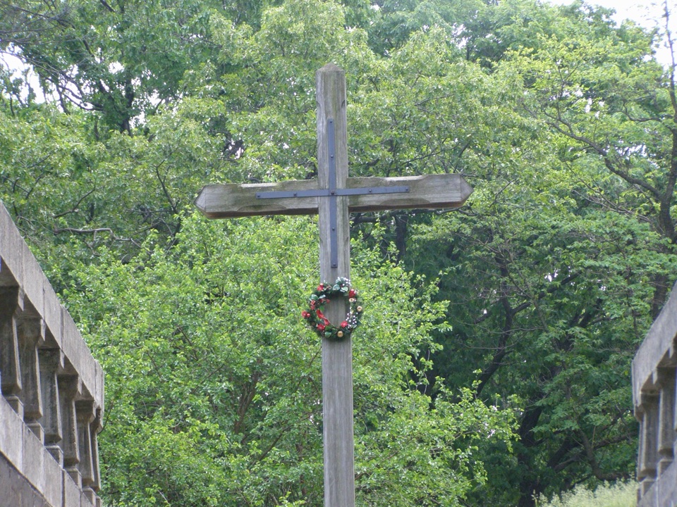
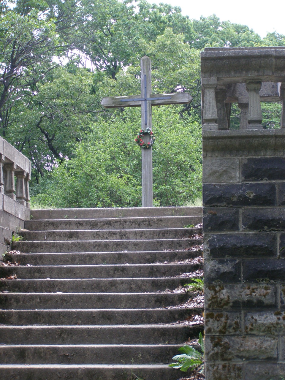
Little Calumet River and Mnoké Prairie Outer Loop is a 3.4-mile circuit from the Bailly-Chellberg lot that links the Chellberg Farm approach, a Little Calumet River crossing, Mnoké Prairie and the Bailly Homestead. Allow about two and a half hours for the full walk. The climb is only about 120 feet, but this is a real dirt trail with several stair sets and a lot of turns. I’d pick it for a half day when you want a changing landscape and a bit of local history, not a hard climb. The optional Bailly Cemetery out-and-back adds 0.6 mile and is not part of the 3.4-mile loop. A park entrance pass is required.
Parkwolf’s verdictIs this the walk for you?

Map & elevation

The route

Loading the Indiana Dunes map
Full map
Elevation605–681 ft
TrailheadBailly-Chellberg Lot (main)41.62468, -87.08950
Keep this map with you offline in the Parkwolf app

Plan your hike

Before you go

Parking

Start at the paved Bailly-Chellberg lot north of U.S. 20 on Mineral Springs Road. It is large enough for buses. The Little Calumet River lot on Howe Road is an alternate exit on the loop, not the start for the 3.4-mile itinerary. A park entrance pass is required.

Safety

Several stair sets, slippery mud after rain and year-round ticks. The open prairie can carry heavy morning dew. The roughly 1.3-mile unmarked junction and riverside branches require careful wayfinding. The route is not wheelchair accessible.

4 active Indiana Dunes alerts

  • ClosureTrail closures and flooding-related access limitsSeveral Indiana Dunes trails are closed or partially inaccessible because of tree damage, riverbank collapse, flooding, and Marquette Greenway construction; stay out of closed sections and use…Official details
  • ClosureBailly/Chellberg Trail stair sections closedPortions of the Bailly/Chellberg Trail with stairs are closed through October 30, 2026, to allow completion of a boardwalk replacement project. Check current park conditions before setting out.Official details
See all 4 alerts
A park ranger sits on a dash-mounted phone, talking, as Parkwolf’s Tour Guide plays “Army Cutworm Moths: A Grizzly Bear Buffet” on Grand Loop Road below Dunraven Pass in Yellowstone
Parkwolf Tour GuideThe highest, rockiest slopes around here are a summer buffet for grizzly bears.

Indiana Dunes Tour Guide

Your drive to Little Calumet River and Mnoké Prairie Outer Loop, narrated.

Parkwolf is a GPS audio tour guide for Indiana Dunes National Park. As you drive, it chimes in with what’s ahead: hidden gems, upcoming stops, history, geology, and wildlife, right through your car’s speakers.

Recorded for this trailhead

Bailly–Chellberg: Houses with a History
0:00 / 0:35
“You're coming up on the Bailly–Chellberg historic area, where a short walk connects a Swedish-American farm and a fur-trading homestead.”

Plays as you drive up to this trailhead in the Parkwolf Indiana Dunes Tour Guide.

More stories near here in the app

  • Before a Dragonfly Takes Flight
  • Greenbelt: The South Route to the Beach
  • The Beaver Leaves Clues
  • A Campaign from a Living Room
  • 51 audio storiesacross Indiana Dunes’s roads, triggered by GPS as you drive
  • Wildlife heatmapsfor Bald Eagle, Sandhill Crane, White-tailed Deer, and 13 more
  • Works offlinemaps, 34 trails, 30 places, and audio download before you lose signal
  • CarPlay readysimple controls built for the drive
★★★★★
“Fantastic app with many points of information… It’s great to just turn on while you’re driving and it gives you an audio tour of the national Park. We love it!!!!”
JMJamesApp Store review
Download Parkwolf on the App StoreGet Parkwolf on Google Play

4.7 from 8,600+ ratings

Trail guide

Hiking Little Calumet River and Mnoké Prairie Outer Loop

Follow the perimeter in this orderStart at the paved Bailly-Chellberg lot, north of U.S. 20 on Mineral Springs Road.

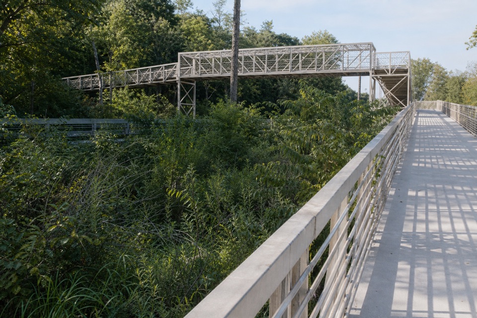
Start at the paved Bailly-Chellberg lot, north of U.S. 20 on Mineral Springs Road. Head north on the Bailly Homestead/Chellberg Farm path. Just before the farm buildings, continue straight onto the Little Calumet River and Mnoké Prairie route. At the cemetery junction about a third of a mile in, stay with the outer loop; the cemetery spur is a separate round trip. Take the right connector, then turn left onto the paved Porter Brickyard Trail. Leave the pavement where the hiking path bends right, cross Howe Road and continue through mature woods. At roughly 1.3 miles, keep right at the unmarked junction to descend toward the river. Cross the boardwalk and bridge, then follow the prairie route to the alternate parking lot. From there, walk out to Howe Road, cross back over the river and go up the Bailly Homestead driveway. The northeast path through the homestead returns you to the main lot. Starting at the alternate lot changes this itinerary and its distance.

From woods to open prairieMaple, beech, basswood and oak shade much of the walk.

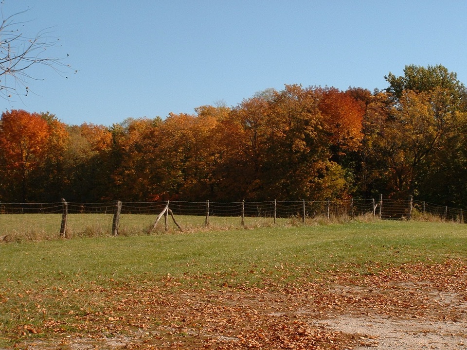
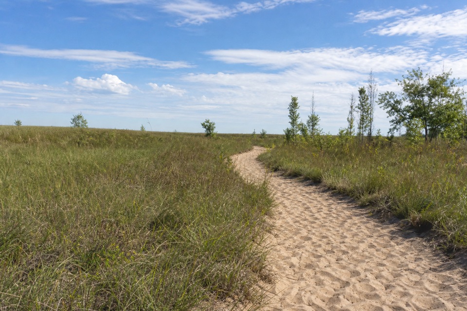
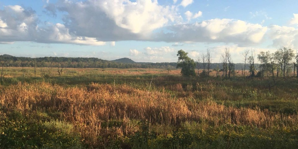
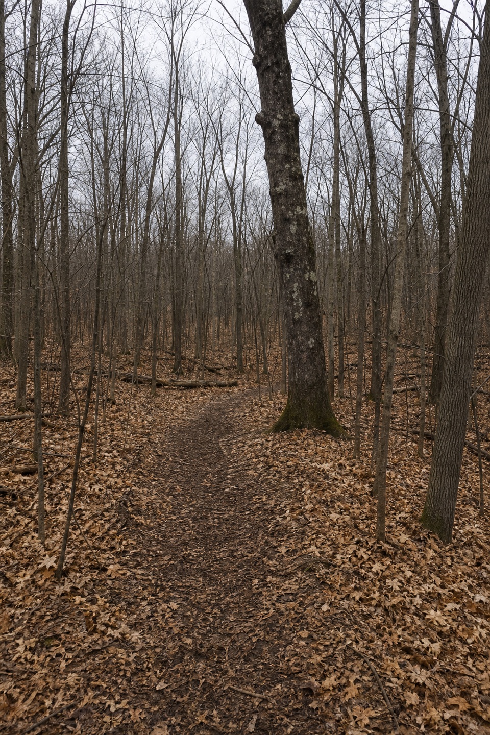
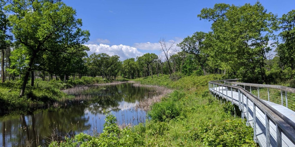
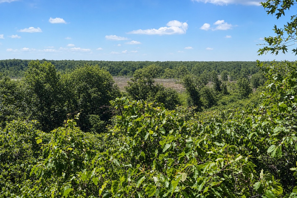
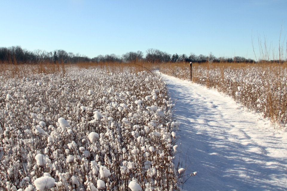
Maple, beech, basswood and oak shade much of the walk. The river section dips through a small ravine, then the boardwalk and bridge bring you out into a long, open stretch of restored prairie. Mnoké is a Potawatomi word meaning “good earth,” and the prairie gives a sense of the grassland that covered this area before settlement. The Little Calumet River was also an important route for early travelers. The bridge leading toward the open prairie is the clearest place to frame both parts of the walk in one photo.

Bailly and ChellbergThe trail passes two very different pieces of local history.

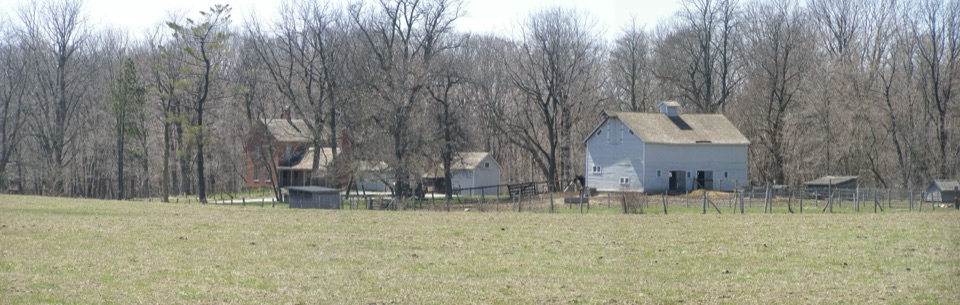
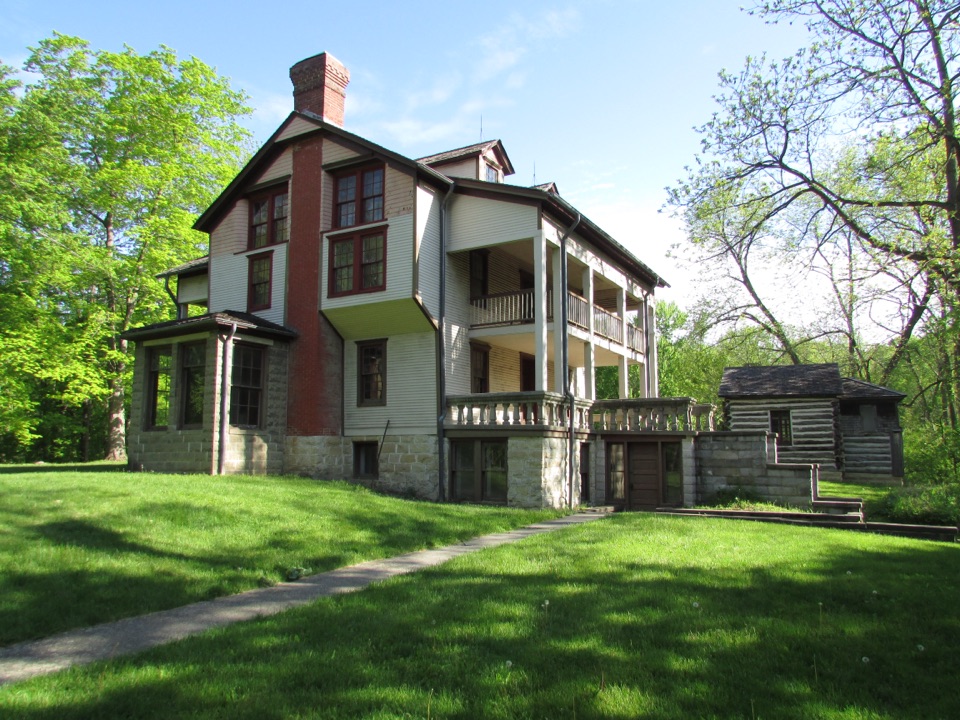
The trail passes two very different pieces of local history. Joseph Bailly established a fur-trading post here in 1822, at a crossroads on the Little Calumet River. The homestead is a National Historic Landmark. Swedish immigrants Anders and Johanna Kjellberg bought 80 acres for a family farm in the 1870s; three generations lived there, and the family began tapping maple trees in the 1930s. Maple Sugar Time still brings demonstrations to Chellberg Farm on the first two weekends in March.

Mud, stairs and useful facilitiesMost of the route is packed soil, with wood chips in places.

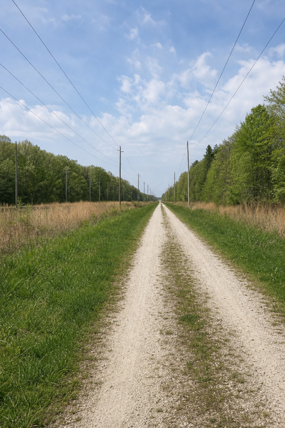
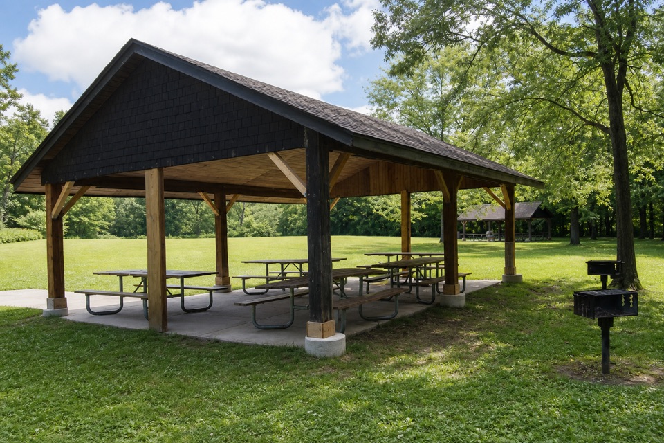
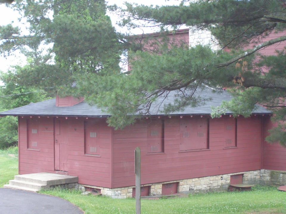
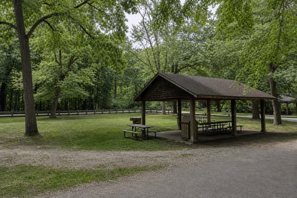
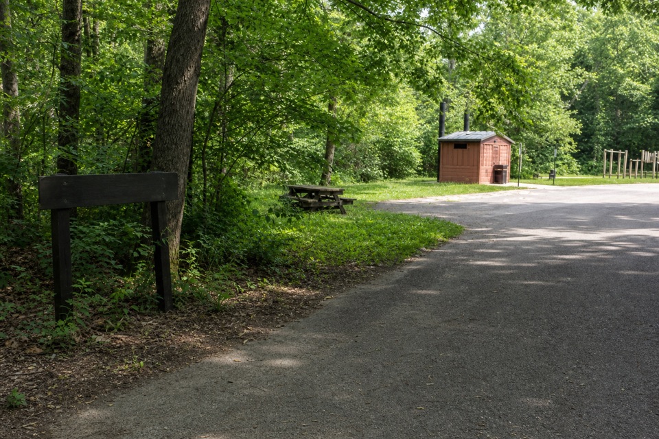
Most of the route is packed soil, with wood chips in places. There are several stair sets, and the trail can be very wet and slippery; heavy morning dew lingers in the prairie. Ticks are present year-round. Dogs are allowed on a leash no longer than six feet; bicycles and motorized vehicles are prohibited. The trail itself is not wheelchair accessible. The main lot has restrooms and potable water, plus three covered picnic shelters with grills; one shelter and the restrooms are wheelchair accessible.

Wildlife

Wildlife in Indiana Dunes

All Indiana Dunes wildlife maps

Sighting maps show where each species has been reported across Indiana Dunes. Wildlife moves, so no sighting is guaranteed.

Keep exploring

Near Little Calumet River and Mnoké Prairie Outer Loop

See it all on the map

Trails that start nearby

Places near the trailhead

Parkwolf’s Indiana Dunes ranking

Top-rated trails in Indiana Dunes

All 34 trails
  1. 1Cowles Bog TrailModerate · 4.7 mi
  2. 2Dune Succession TrailModerate · 0.9 mi
  3. 3Paul H. Douglas Trail (Miller Woods)Moderate · 3.4 mi
  4. 4West Beach 3-Loop TrailModerate · 3.4 mi
  5. 5Mount Baldy Beach TrailModerate · 0.8 mi
  6. 6Dune Ridge TrailModerate · 0.7 mi

Take Parkwolf to Indiana Dunes.

The audio tour guide for the drive, plus offline maps, trails, and wildlife heatmaps for when the signal drops.

4.7 from 8,600+ ratings

Download Parkwolf on the App StoreGet Parkwolf on Google Play