Parking
Start at the paved Pinhook Bog Trailhead Parking Lot, 957 N. Wozniak Road. Passes are required. The lot has two picnic tables and a seasonal portable toilet; no potable water.
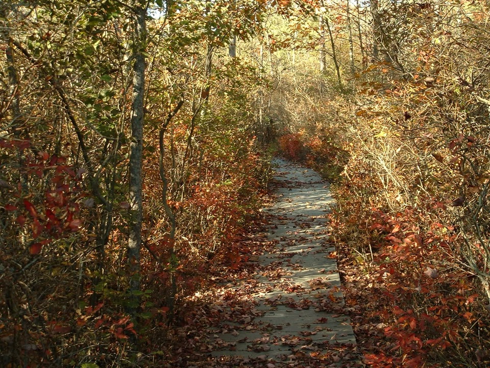
Indiana Dunes National Park, IN
Step onto a floating boardwalk in a quaking kettle bog.
Overview
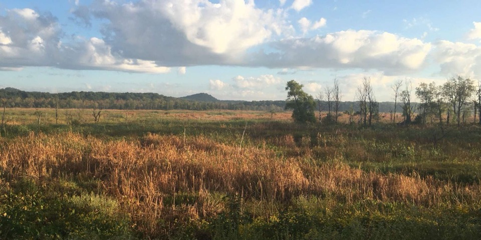
The bog habitat supports carnivorous pitcher plants and sundew, ferns and orchids such as pink lady's slipper. Bloom timing varies, so ask the ranger what is showing during your visit rather than counting on a particular flower.
 Parkwolf’s verdictPlants worth looking for
Map & elevation
Plan your hike

The highest, rockiest slopes around here are a summer buffet for grizzly bears.
Indiana Dunes Tour Guide
Parkwolf is a GPS audio tour guide for Indiana Dunes National Park. As you drive, it chimes in with what’s ahead: hidden gems, upcoming stops, history, geology, and wildlife, right through your car’s speakers.
Recorded for this trailhead
Pinhook Bog: A Floating Plant World“You're approaching Pinhook Bog, where floating moss mats support insect-eating pitcher plants and sundews.”
Plays as you drive up to this trailhead in the Parkwolf Indiana Dunes Tour Guide.
More stories near here in the app
“Fantastic app with many points of information… It’s great to just turn on while you’re driving and it gives you an audio tour of the national Park. We love it!!!!”


Trail guide
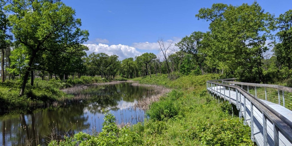
Pinhook Bog Trail is a 0.9-mile out-and-back from the Bog Trailhead to a floating boardwalk in a quaking kettle bog. The park calls it easy and budgets about one hour. Walk in to the boardwalk and return the same way; this is not a loop.
This is not a self-guided hike. Access is limited to authorized ranger-led open houses on summer weekends, with advance approval and staff accompaniment. Confirm the program and how to join with the Indiana Dunes Visitor Center before making the drive. Passes are required at Pinhook.
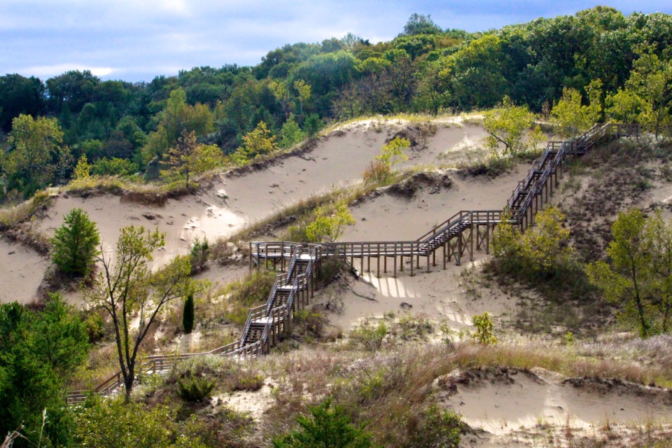
A packed-dirt approach leads to the boardwalk over the bog. The boards shift and can dip below the water as you step, so waterproof boots are useful even though the walk is short. Stay on the boardwalk: the floating surface is fragile and off-boardwalk hiking is prohibited. The trail is not wheelchair accessible.
Pinhook began as a kettle lake when a block of melting glacial ice broke away and left a depression in the moraine about 10,000 years ago. With no groundwater connection, the water gradually became acidic, around pH 4. Sphagnum moss formed floating mats that support the bog's quaking surface.
The floating bog covers about 110 acres within a 580-acre park unit. It became a National Natural Landmark in 1965, and the park reports that it supports 167 native plant species, many unusual this far south.
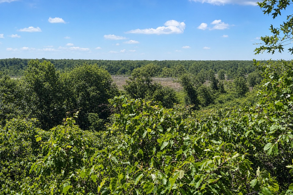
Highbush blueberry and red maple growth once shaded and dried parts of the sphagnum mat, putting rare plants at risk. Park staff remove blueberry shrubs and girdle red maples to keep the bog open. From the boardwalk, look across the restored open patches beside denser thickets; that contrast shows the work in progress and makes the most distinctive view to photograph.
Use the paved Bog Trailhead Parking Lot at 957 N. Wozniak Road. The lot has two picnic tables and a seasonal portable toilet, but no potable water. The separate Upland Trail starts nearby, stays on higher forest ground and is open daily; dogs are allowed there on leash, but not on the Bog Trail.
Wildlife
 85 sightingsBald EagleMost seen around 8 AMSighting map
 48 sightingsSandhill CraneMost seen around 6 PMSighting map
 113 sightingsWhite-tailed DeerMost seen around 6 PMSighting map
 23 sightingsCoyoteMost seen around 8 PMSighting map
 49 sightingsBeaverMost seen around 8 PMSighting map
 13 sightingsBarred OwlMost seen around 6 AMSighting map
Sighting maps show where each species has been reported across Indiana Dunes. Wildlife moves, so no sighting is guaranteed.
Keep exploring
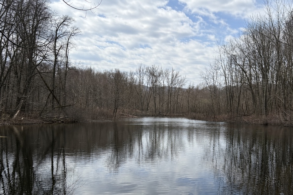 ModeratePinhook Bog Upland Trail2.1 mi · 1.5 hr · At the trailheadA rolling woodland lollipop with a bog view near its southern end
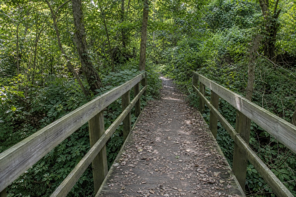 EasyHeron Rookery Trail3.3 mi · 1.8 hr · 5.3 mi awayBest in spring, when woodland flowers brighten the river trail.
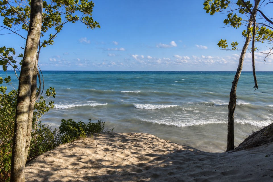 ModerateMount Baldy Beach Trail0.8 mi · 1 hr · 7.2 mi awayA short walk ends in a steep scramble down to Lake Michigan.
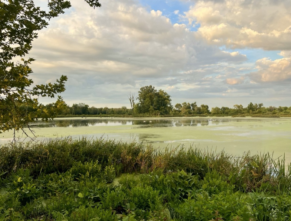 EasyGreat Marsh Trail1.3 mi · 1 hr · 8 mi awayA flat marsh loop with an observation deck for birding.
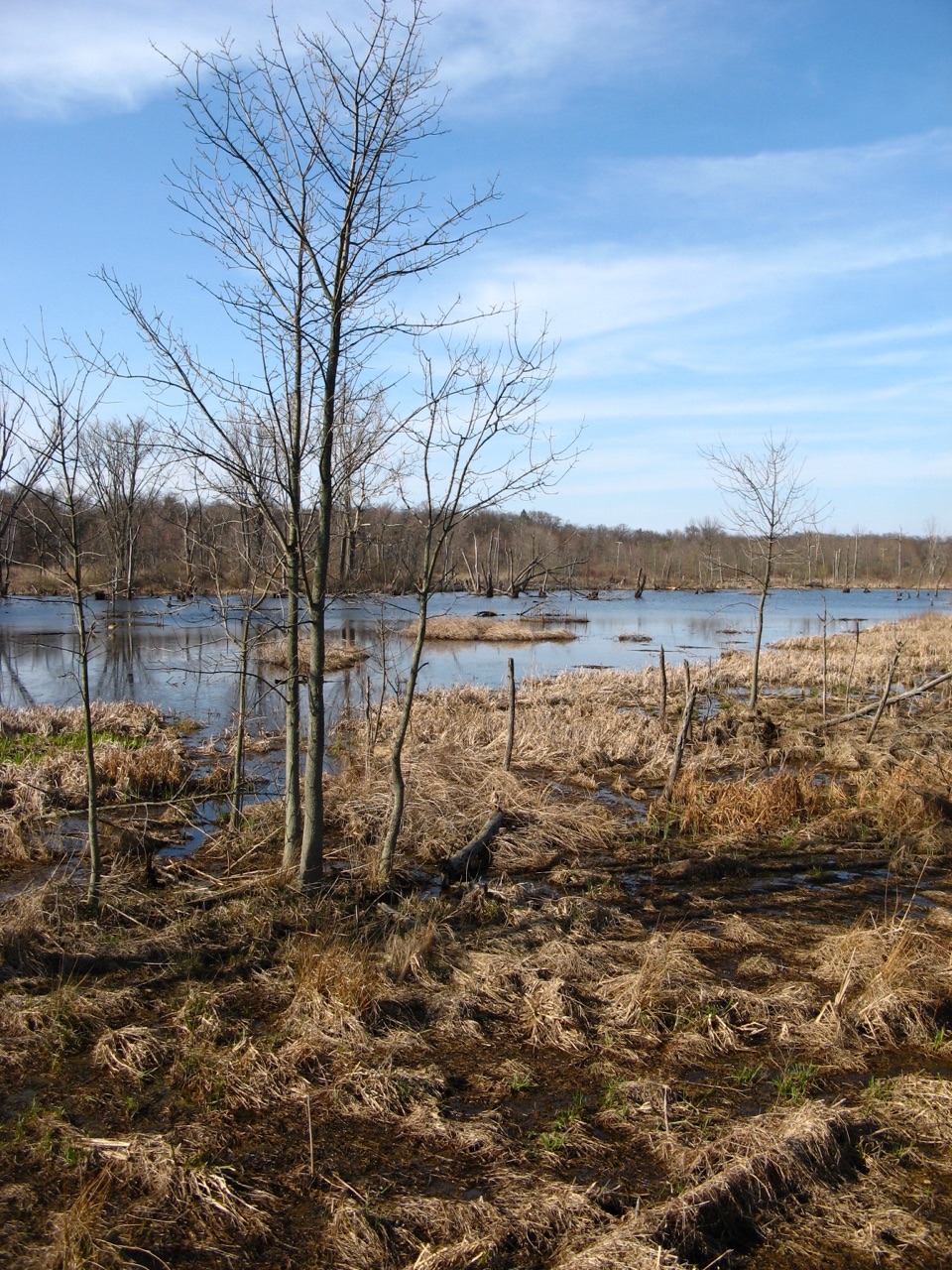 EasyGreat Marsh Accessible Trail0.2 mi · 15 min · 8.1 mi awayA short paved route to the marsh's bird-viewing deck.
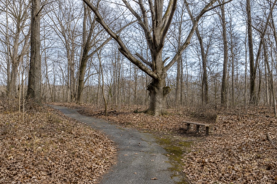 EasyCalumet Dunes Trail0.6 mi · 20 min · 8.7 mi awayA quick paved loop on Lake Michigan's old shoreline
 EasyDunewood Trace Campground Trail4.4 mi · 2.5 hr · 8.7 mi awayAn easy, sandy out-and-back to Dunewood Campground.
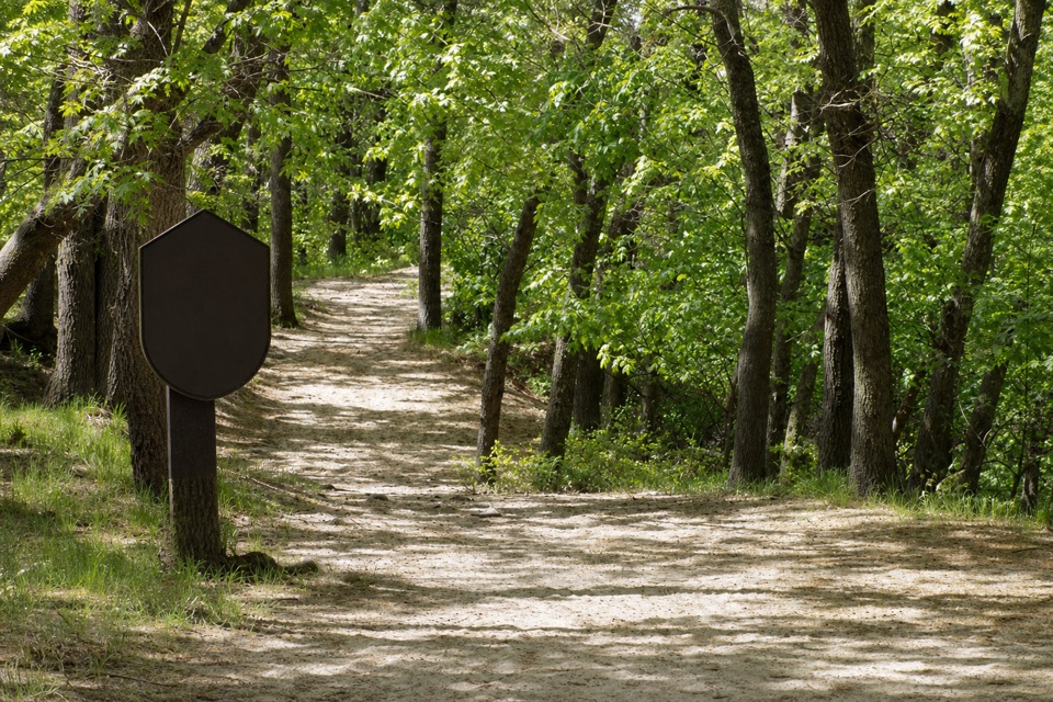 ModerateGlenwood Dunes Extension Trail5.7 mi · 3 hr · 8.7 mi awayA flat, sandy extension with a longer walk from the main lot.
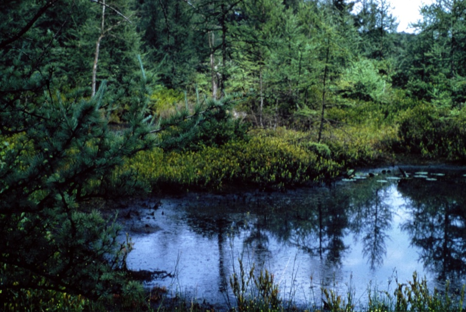 Sight · At the trailheadPinhook BogSee the floating bog up close only on ranger-led summer weekends.
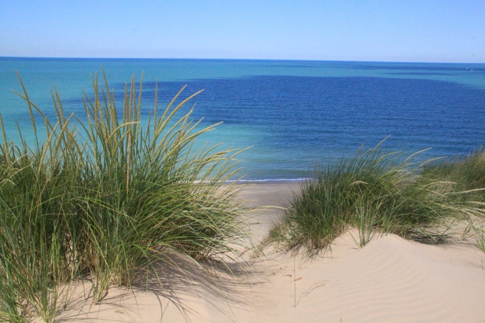 Beach · 7.2 mi awayMount Baldy BeachDune views from the lot; a sandy walk to the lake.
 Beach · 7.5 mi awayCentral Avenue BeachSummer bank swallows shuttle over this sandy Lake Michigan beach.
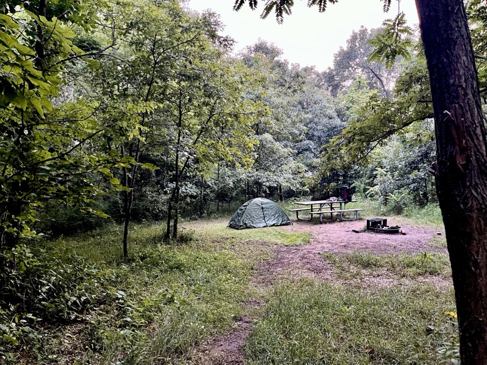 Campground · 7.5 mi awayCentral Avenue Walk-in CampgroundFive quiet sites near Lake Michigan, reached by a steep gear carry.
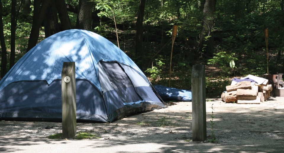 Campground · 7.7 mi awayDunewood CampgroundA wooded base, with lake beaches a short drive away.
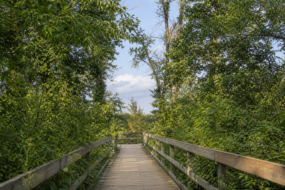 Sight · 8.1 mi awayGreat Marsh Observation DeckA short accessible walk to the Great Marsh
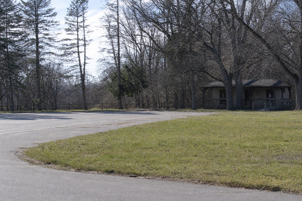 Picnic area · 8.7 mi awayGlenwood Dunes Picnic AreaA first-come shelter beside a web of dune trails.
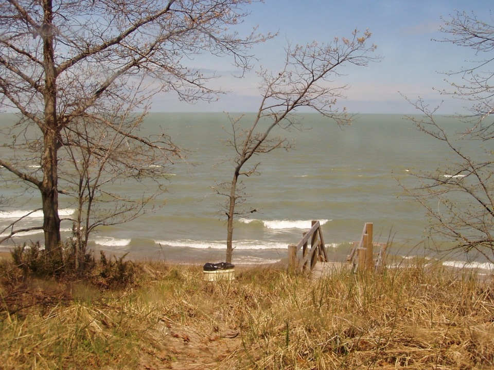 Beach · 8.8 mi awayLake View BeachPicnic above the lake, with stairs down to the sand.
Parkwolf’s Indiana Dunes ranking
The audio tour guide for the drive, plus offline maps, trails, and wildlife heatmaps for when the signal drops.