Porter Brickyard Bike Trail in Indiana Dunes National Park

Indiana Dunes National Park, IN

Porter Brickyard Bike Trail

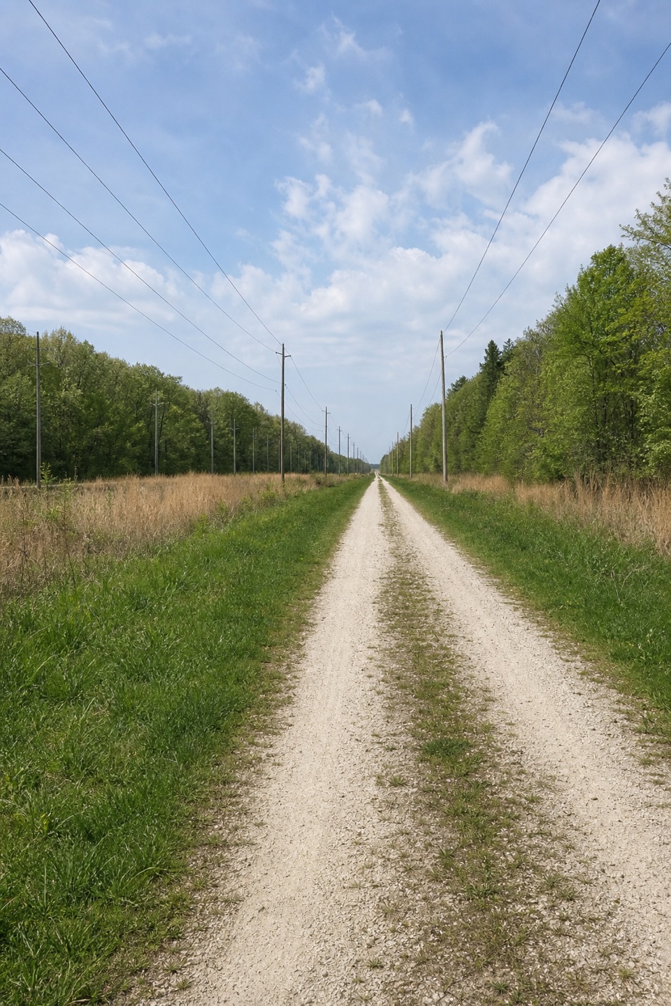
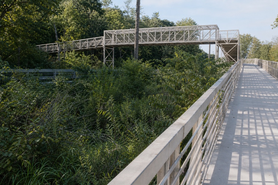
A paved connector with forest stretches and two highway overpasses.

Length
4mi
Time
1.8hr
Elev. change
79ft
Difficulty
Easy
  • Dogs allowed
  • High point 682 ft

Hear the audio tour

Cowles Bog: Woods to Lake

Overview

About Porter Brickyard Bike Trail

Why go

  • Connects the Calumet and Prairie Duneland trail networks.
  • Pedestrian overpasses cross U.S. 12 and U.S. 20.

Heads up

  • The southern section uses sidewalks and town streets.
  • Neither trailhead has potable water.

Map & elevation

The route

Loading the Indiana Dunes map
Full map
Elevation603–682 ft
TrailheadCowles Bog Trail System north parking lot41.64519, -87.08463
Keep this map with you offline in the Parkwolf app

Plan your hike

Before you go

Parking

Start at the Cowles Bog Trail System north lot, 1184 North Mineral Springs Road, or finish at the south lot, 198 South Jackson Boulevard. Both have paved parking; the north lot has a year-round porta potty, while the south lot has no restroom. This is a point-to-point route, so plan a return from the opposite end.


Safety

The southern stretch follows sidewalks and town streets. Use the pedestrian overpasses to cross U.S. 12 and U.S. 20. Ticks are present year-round, and neither trailhead has potable water.

4 active Indiana Dunes alerts

  • ClosureTrail closures and flooding-related access limitsSeveral Indiana Dunes trails are closed or partially inaccessible because of tree damage, riverbank collapse, flooding, and Marquette Greenway construction; stay out of closed sections and use…Official details
  • ClosureBailly/Chellberg Trail stair sections closedPortions of the Bailly/Chellberg Trail with stairs are closed through October 30, 2026, to allow completion of a boardwalk replacement project. Check current park conditions before setting out.Official details
See all 4 alerts
A park ranger sits on a dash-mounted phone, talking, as Parkwolf’s Tour Guide plays “Army Cutworm Moths: A Grizzly Bear Buffet” on Grand Loop Road below Dunraven Pass in Yellowstone
Parkwolf Tour GuideThe highest, rockiest slopes around here are a summer buffet for grizzly bears.

Indiana Dunes Tour Guide

Your drive to Porter Brickyard Bike Trail, narrated.

Parkwolf is a GPS audio tour guide for Indiana Dunes National Park. As you drive, it chimes in with what’s ahead: hidden gems, upcoming stops, history, geology, and wildlife, right through your car’s speakers.

Recorded for this trailhead

Cowles Bog: Woods to Lake
0:00 / 0:23
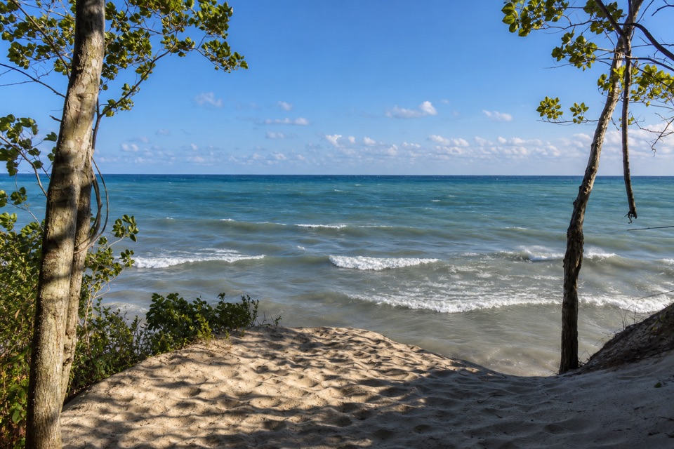
“You're nearing the north trailhead for Cowles Bog, where wetlands and oak savanna lead to a Lake Michigan beach. The full four point seven mile hike takes about four hours, with steep dune crossings through loose sand.”

Plays as you drive up to this trailhead in the Parkwolf Indiana Dunes Tour Guide.

More stories near here in the app

  • Greenbelt: The South Route to the Beach
  • Indiana Dunes State Park Beach and Pavilion
  • Porter Beach: The Johnson Inn Shore
  • Bailly–Chellberg: Houses with a History
  • 51 audio storiesacross Indiana Dunes’s roads, triggered by GPS as you drive
  • Wildlife heatmapsfor Bald Eagle, Sandhill Crane, White-tailed Deer, and 13 more
  • Works offlinemaps, 34 trails, 30 places, and audio download before you lose signal
  • CarPlay readysimple controls built for the drive
★★★★★
“Fantastic app with many points of information… It’s great to just turn on while you’re driving and it gives you an audio tour of the national Park. We love it!!!!”
JMJamesApp Store review
Download Parkwolf on the App StoreGet Parkwolf on Google Play

4.7 from 8,600+ ratings

Trail guide

Hiking Porter Brickyard Bike Trail

What it isPorter Brickyard Bike Trail is a 4.

Porter Brickyard Bike Trail is a 4.02-mile one-way, point-to-point paved connector from the Cowles Bog Trail System north lot to South Jackson Boulevard, where the Prairie Duneland Bike Trail begins. It also links to the Calumet Bike Trail at the north end. Published park mileage calls the trip 7 miles round trip, while the mapped north-to-south line is 4.02 miles; the figures do not reconcile exactly. Use the mapped line for the end-to-end distance, and allow roughly another four miles if you retrace it.

The routeFrom the north lot, the trail crosses U.S.

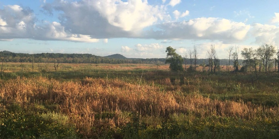
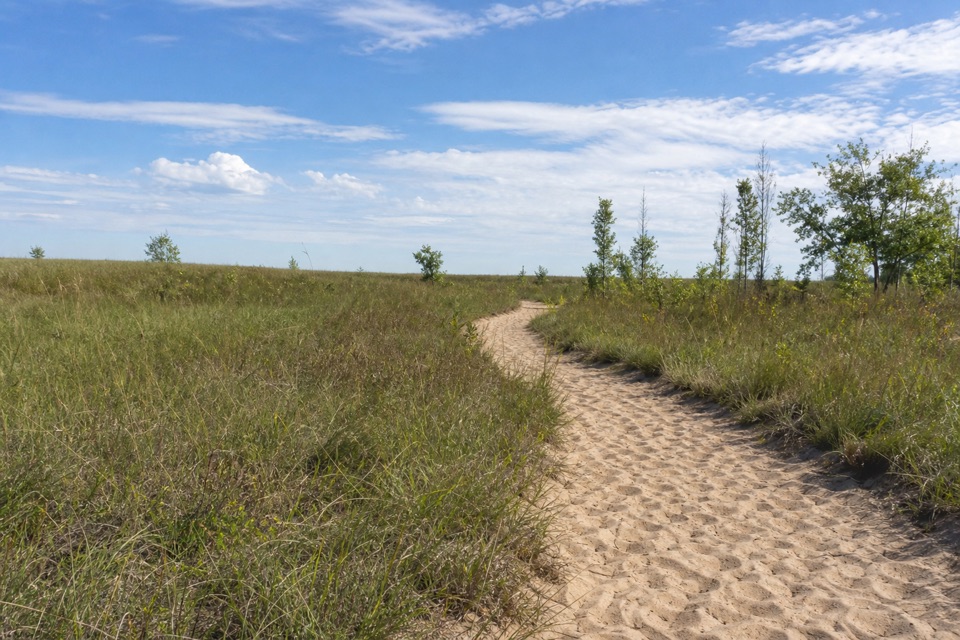
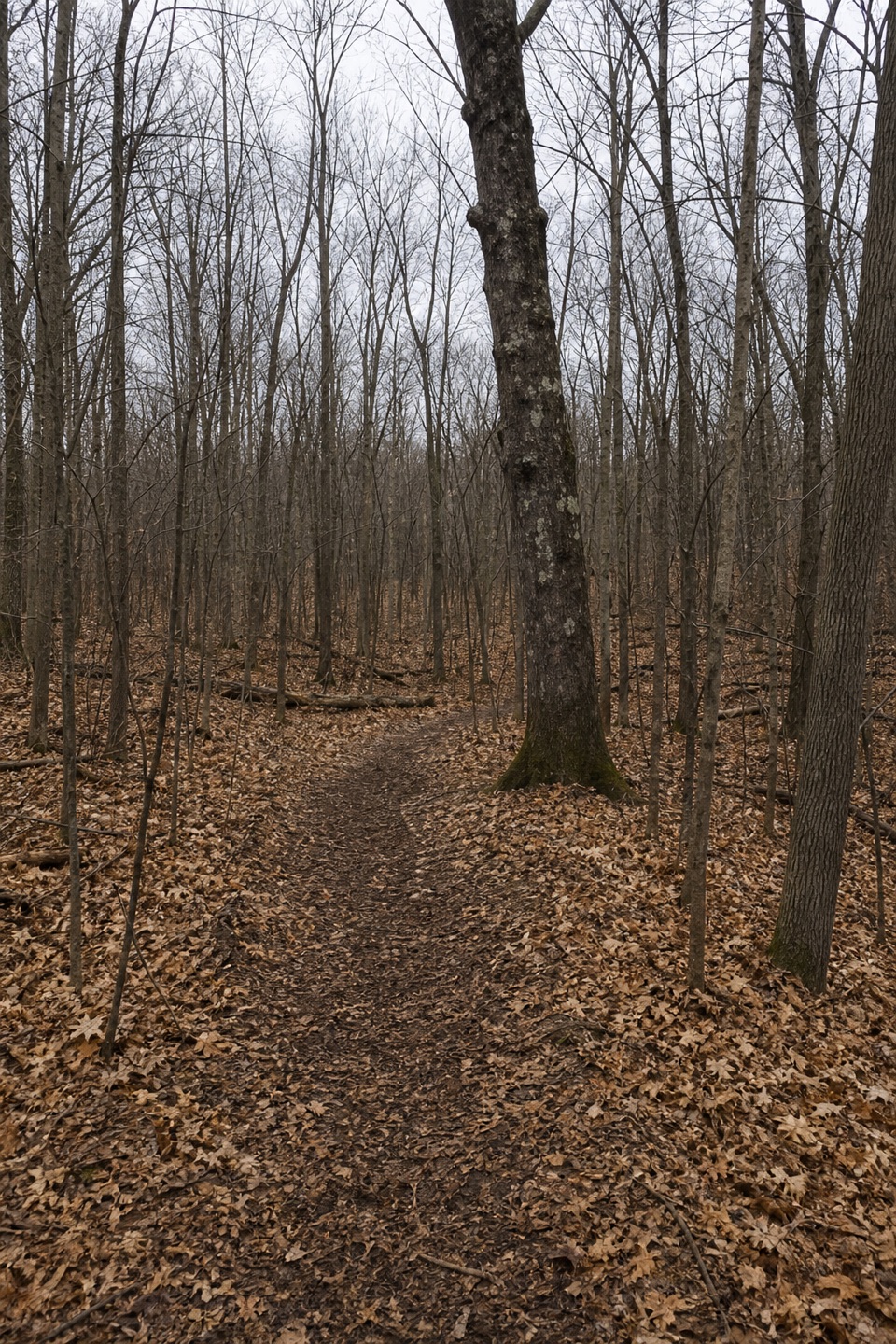
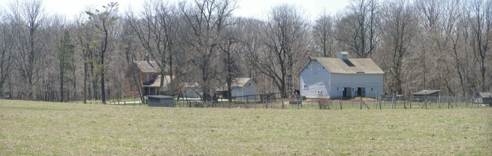
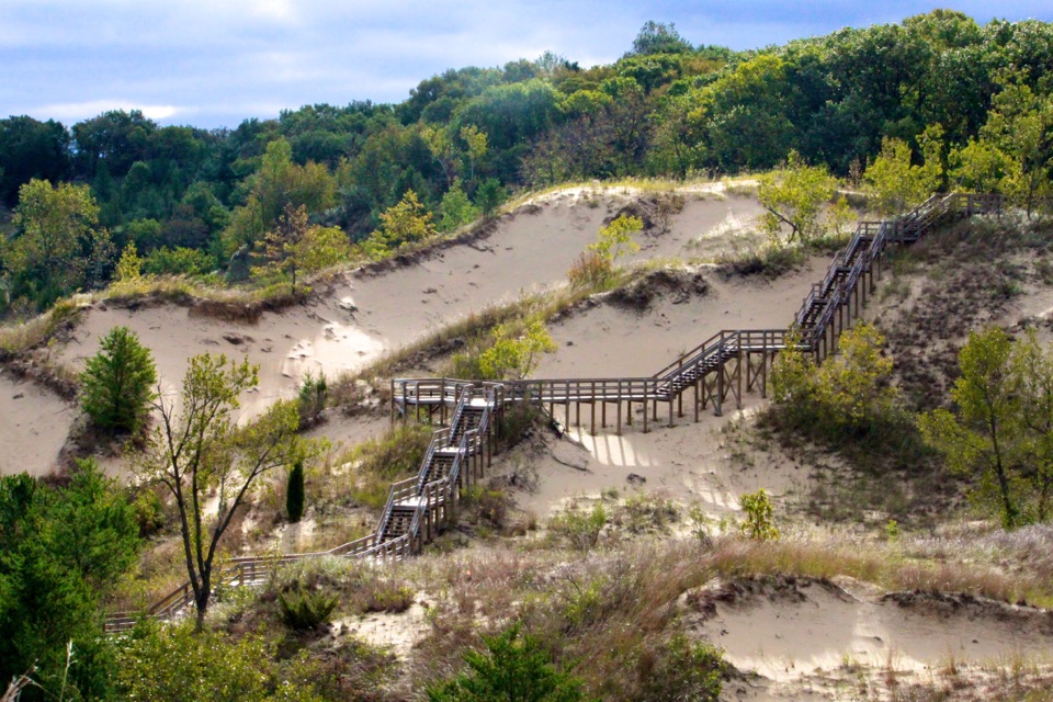
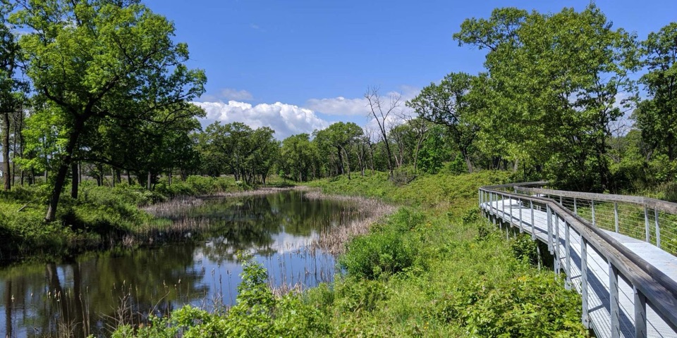
From the north lot, the trail crosses U.S. 12 on a pedestrian overpass and winds through the Bailly Homestead and Chellberg Farm area. It then follows Howe Road to a second pedestrian overpass over U.S. 20. Farther south, the route mixes dedicated paths, sidewalks, and town streets on its way to Jackson Boulevard. The park section is the wooded part; the street connections are a real part of the trip, so this is most useful when you want to link the regional trails rather than spend the day on a quiet woodland walk.

Access and effortThe grade is easy with some elevation changes, and the route is listed as wheelchair accessible.

The grade is easy with some elevation changes, and the route is listed as wheelchair accessible. Allow about 1¾ hours one way on foot. The Cowles Bog north lot is at 1184 North Mineral Springs Road; the south lot is at 198 South Jackson Boulevard. Both have paved parking. The north lot has a year-round porta potty; the south lot has no restroom, and neither end has potable water. Dogs are allowed on a leash no longer than six feet. Ticks are present year-round. The route is point-to-point, so plan a return from the far end or add the walk back.

Wildlife

Wildlife in Indiana Dunes

All Indiana Dunes wildlife maps

Sighting maps show where each species has been reported across Indiana Dunes. Wildlife moves, so no sighting is guaranteed.

Keep exploring

Near Porter Brickyard Bike Trail

See it all on the map

Trails that start nearby

Places near the trailhead

Parkwolf’s Indiana Dunes ranking

Top-rated trails in Indiana Dunes

All 34 trails
  1. 1Cowles Bog TrailModerate · 4.7 mi
  2. 2Dune Succession TrailModerate · 0.9 mi
  3. 3Paul H. Douglas Trail (Miller Woods)Moderate · 3.4 mi
  4. 4West Beach 3-Loop TrailModerate · 3.4 mi
  5. 5Mount Baldy Beach TrailModerate · 0.8 mi
  6. 6Dune Ridge TrailModerate · 0.7 mi

Take Parkwolf to Indiana Dunes.

The audio tour guide for the drive, plus offline maps, trails, and wildlife heatmaps for when the signal drops.

4.7 from 8,600+ ratings

Download Parkwolf on the App StoreGet Parkwolf on Google Play