Calumet Bike Trail in Indiana Dunes National Park

Indiana Dunes National Park, IN

Calumet Bike Trail

A mostly level, 9.2-mile link across the dune-country corridor.

Length
9.2mi
Time
4.8hr
Elevation
Flat
Difficulty
Moderate
  • Dogs allowed
  • High point 616 ft

Hear the audio tour

Greenbelt: The South Route to the Beach

Overview

About Calumet Bike Trail

Why go

  • Nearly level, with connections to several park trail systems and South Shore stations.

Heads up

  • A long one-way walk beside rail and utility lines, with rough and wet stretches.

Map & elevation

The route

Loading the Indiana Dunes map
Full map
Elevation608–616 ft
TrailheadWest Trailhead, North Mineral Springs Road41.63690, -87.08719
Keep this map with you offline in the Parkwolf app

Plan your hike

Before you go

Parking

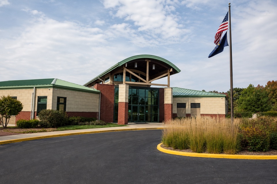
The West Trailhead lot is on North Mineral Springs Road in Dune Acres, at 1184 North Mineral Springs Road. The paved East Trailhead lot is at 2752 U.S. 12 in Town of Pines. This is a point-to-point walk, so arrange a pickup or second car at the far end.

Safety

There is little shade. Low sections can hold deep standing water, and rough gravel remains beside paved stretches; footing and pace can change after rain.

4 active Indiana Dunes alerts

  • ClosureTrail closures and flooding-related access limitsSeveral Indiana Dunes trails are closed or partially inaccessible because of tree damage, riverbank collapse, flooding, and Marquette Greenway construction; stay out of closed sections and use…Official details
  • ClosureBailly/Chellberg Trail stair sections closedPortions of the Bailly/Chellberg Trail with stairs are closed through October 30, 2026, to allow completion of a boardwalk replacement project. Check current park conditions before setting out.Official details
See all 4 alerts
A park ranger sits on a dash-mounted phone, talking, as Parkwolf’s Tour Guide plays “Army Cutworm Moths: A Grizzly Bear Buffet” on Grand Loop Road below Dunraven Pass in Yellowstone
Parkwolf Tour GuideThe highest, rockiest slopes around here are a summer buffet for grizzly bears.

Indiana Dunes Tour Guide

Your drive to Calumet Bike Trail, narrated.

Parkwolf is a GPS audio tour guide for Indiana Dunes National Park. As you drive, it chimes in with what’s ahead: hidden gems, upcoming stops, history, geology, and wildlife, right through your car’s speakers.

Recorded for this trailhead

Greenbelt: The South Route to the Beach
0:00 / 0:24
“You're approaching the Greenbelt south trailhead, another starting point for the walk to Cowles Bog's beach.”

Plays as you drive up to this trailhead in the Parkwolf Indiana Dunes Tour Guide.

More stories near here in the app

  • Cowles Bog: Woods to Lake
  • Bailly–Chellberg: Houses with a History
  • Before a Dragonfly Takes Flight
  • A Campaign from a Living Room
  • 51 audio storiesacross Indiana Dunes’s roads, triggered by GPS as you drive
  • Wildlife heatmapsfor Bald Eagle, Sandhill Crane, White-tailed Deer, and 13 more
  • Works offlinemaps, 34 trails, 30 places, and audio download before you lose signal
  • CarPlay readysimple controls built for the drive
★★★★★
“Fantastic app with many points of information… It’s great to just turn on while you’re driving and it gives you an audio tour of the national Park. We love it!!!!”
JMJamesApp Store review
Download Parkwolf on the App StoreGet Parkwolf on Google Play

4.7 from 8,600+ ratings

Trail guide

Hiking Calumet Bike Trail

Is this the walk you want?The Calumet Bike Trail is a 9.

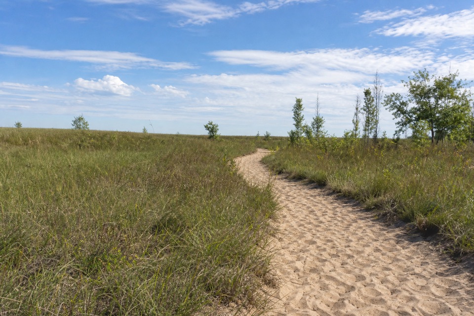
The Calumet Bike Trail is a 9.2-mile, one-way multi-use path from the West Trailhead on Mineral Springs Road to the East Trailhead on U.S. 12 near County Line Road. It stays nearly level beside the South Shore rail line and a utility corridor. Think long cross-park connector through dune country, not a beach or dune-top hike. The useful part is how many other walks it links; the tradeoff is a long, fairly steady corridor. Allow about 4½ to 5 hours on foot. Walking back to your car makes the outing roughly 18.4 miles.

Follow the connectionsFrom the west end, the trail shares access with Porter Brickyard and Cowles Bog.

From the west end, the trail shares access with Porter Brickyard and Cowles Bog. It reaches Dune Park South Shore station, where the Dunes-Kankakee route and Indiana Dunes State Park trails connect. At East State Park Road/Kemil, you can cross U.S. 12 for Glenwood Dunes and the separate Calumet Dunes Trail. Farther east, Broadway in Beverly Shores links Great Marsh Trail and Dunewood Campground; the east parking lot is near the Mount Baldy Beach Trail. Those are different walks, so keep to the Calumet corridor if you're following this route end to end.

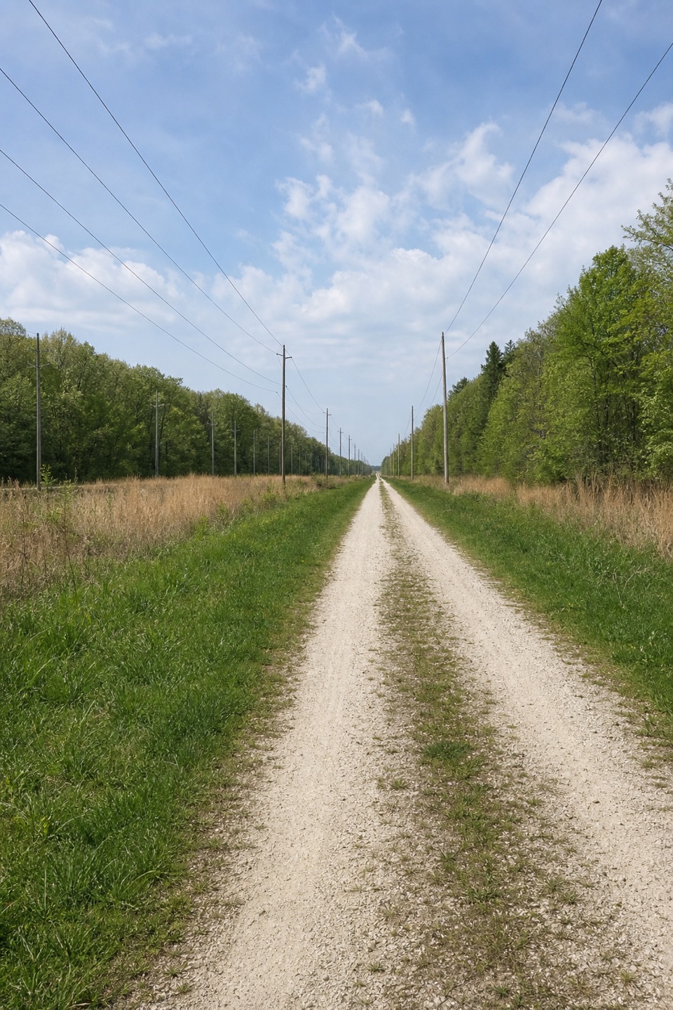
What the corridor is likeThe path runs through a working rail and utility corridor, with grassy and wetland edges,…

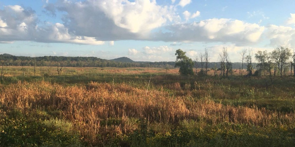
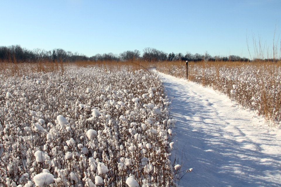
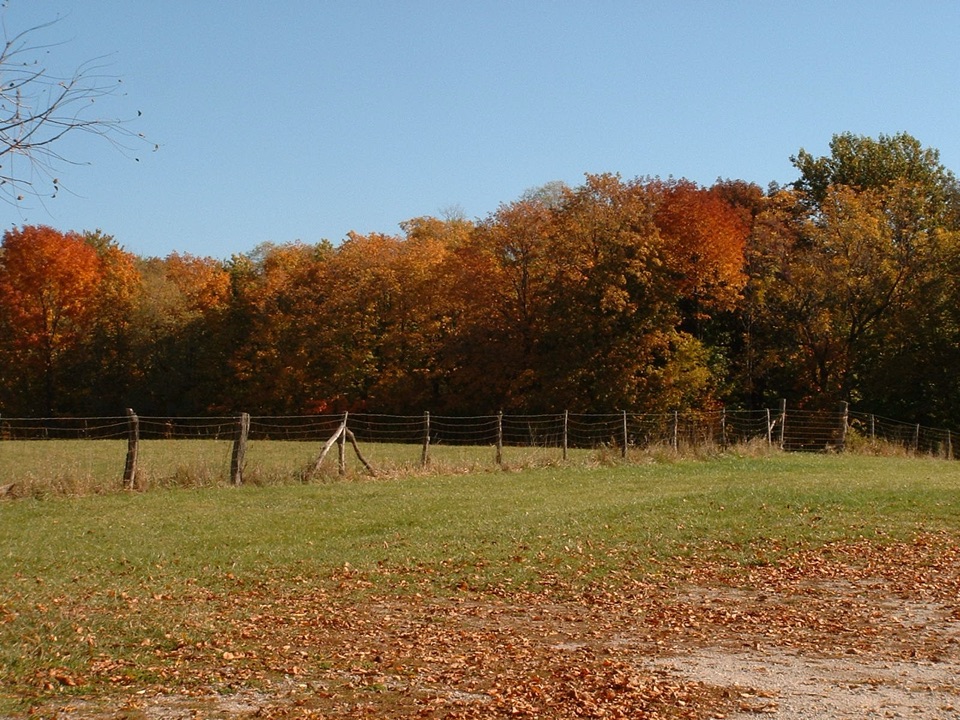
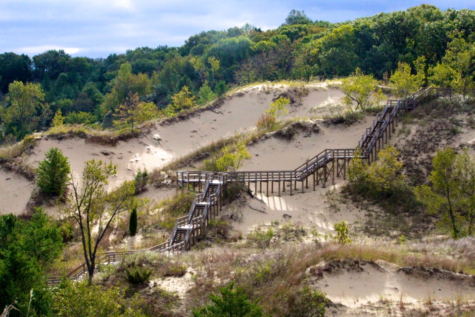
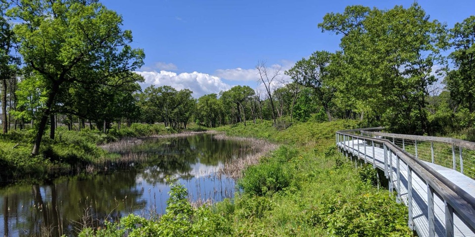
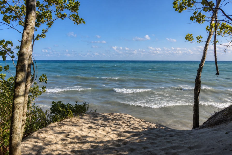
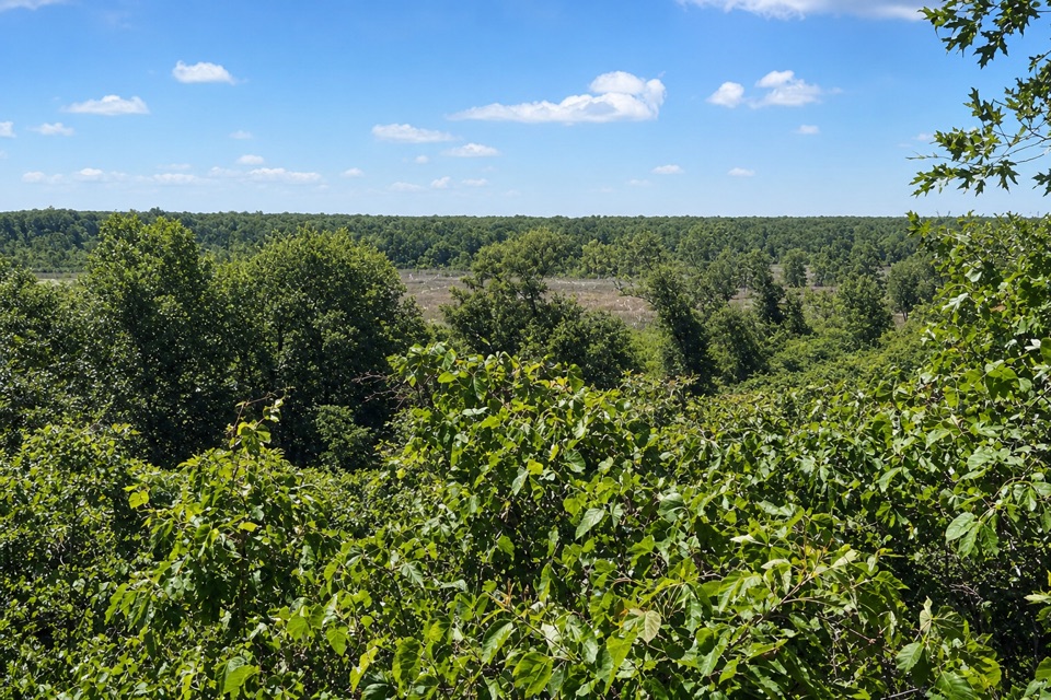
The path runs through a working rail and utility corridor, with grassy and wetland edges, cattails, and dragonflies reported along the way. It doesn't deliver a string of big dune or lake views; its appeal is the easy grade and the connections between park areas. If you're looking for changing terrain and a scenic payoff every mile, choose one of the shorter dune trails instead.

Underfoot and in the sunThe grade is very gentle, but the surface switches between asphalt and rough gravel.

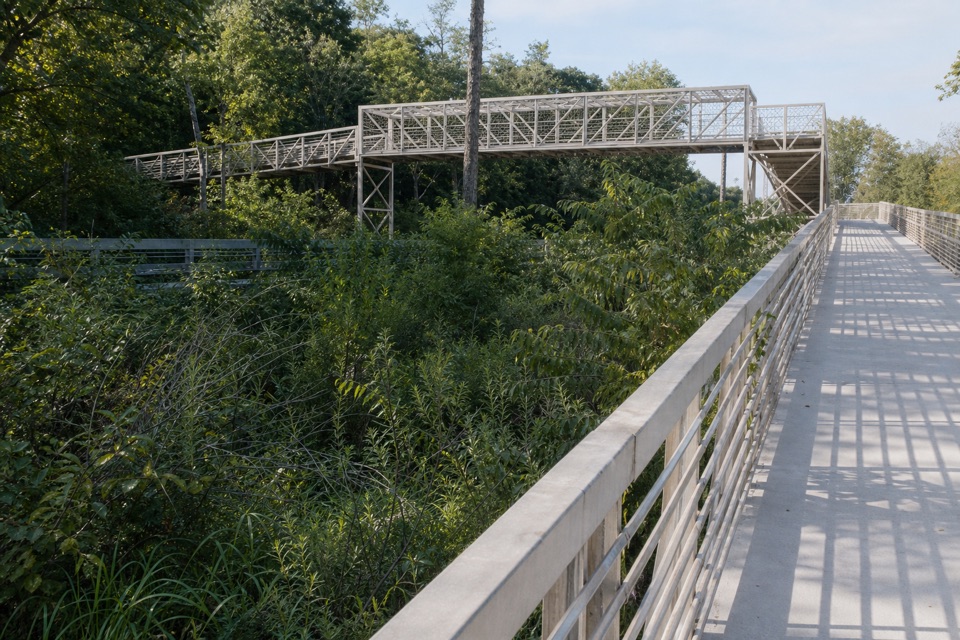
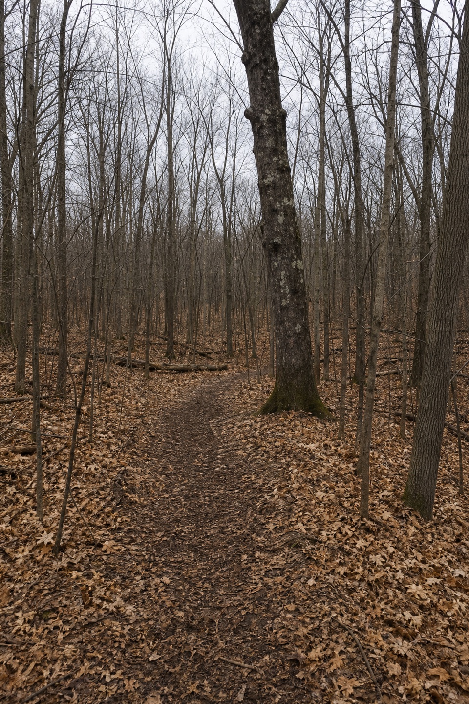
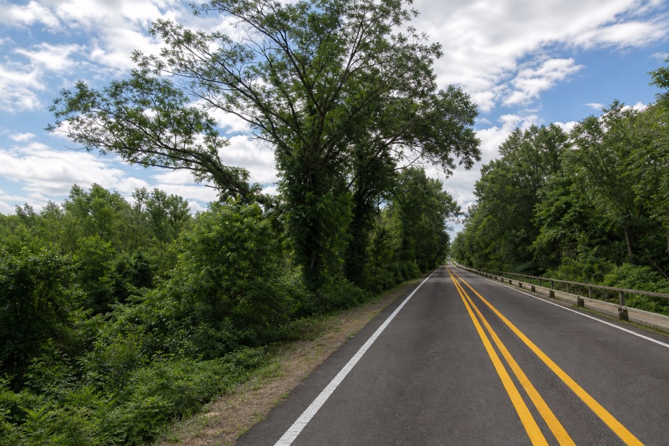
The grade is very gentle, but the surface switches between asphalt and rough gravel. Low stretches can hold deep standing water, and loose or uneven patches can slow you down, especially after rain. Expect little shade. Neither endpoint has potable water, so plan that before you start. Dogs are allowed on a leash no longer than six feet.

Make the one-way logistics workStart at the West Trailhead lot on North Mineral Springs Road and finish at the East Trailhead…

Start at the West Trailhead lot on North Mineral Springs Road and finish at the East Trailhead lot on U.S. 12. Dune Park and Beverly Shores South Shore stations give you mid-route access for a shorter section, but they're not the trail's endpoints. Arrange a pickup or a second car before setting out for the full walk.

Wildlife

Wildlife in Indiana Dunes

All Indiana Dunes wildlife maps

Sighting maps show where each species has been reported across Indiana Dunes. Wildlife moves, so no sighting is guaranteed.

Keep exploring

Near Calumet Bike Trail

See it all on the map

Trails that start nearby

Places near the trailhead

Parkwolf’s Indiana Dunes ranking

Top-rated trails in Indiana Dunes

All 34 trails
  1. 1Cowles Bog TrailModerate · 4.7 mi
  2. 2Dune Succession TrailModerate · 0.9 mi
  3. 3Paul H. Douglas Trail (Miller Woods)Moderate · 3.4 mi
  4. 4West Beach 3-Loop TrailModerate · 3.4 mi
  5. 5Mount Baldy Beach TrailModerate · 0.8 mi
  6. 6Dune Ridge TrailModerate · 0.7 mi

Take Parkwolf to Indiana Dunes.

The audio tour guide for the drive, plus offline maps, trails, and wildlife heatmaps for when the signal drops.

4.7 from 8,600+ ratings

Download Parkwolf on the App StoreGet Parkwolf on Google Play