Parking
Use Bailly-Chellberg Lot (main) on Mineral Springs Road, north of U.S. 20. The paved lot is large enough for buses and has year-round restrooms, potable water and three covered picnic shelters.
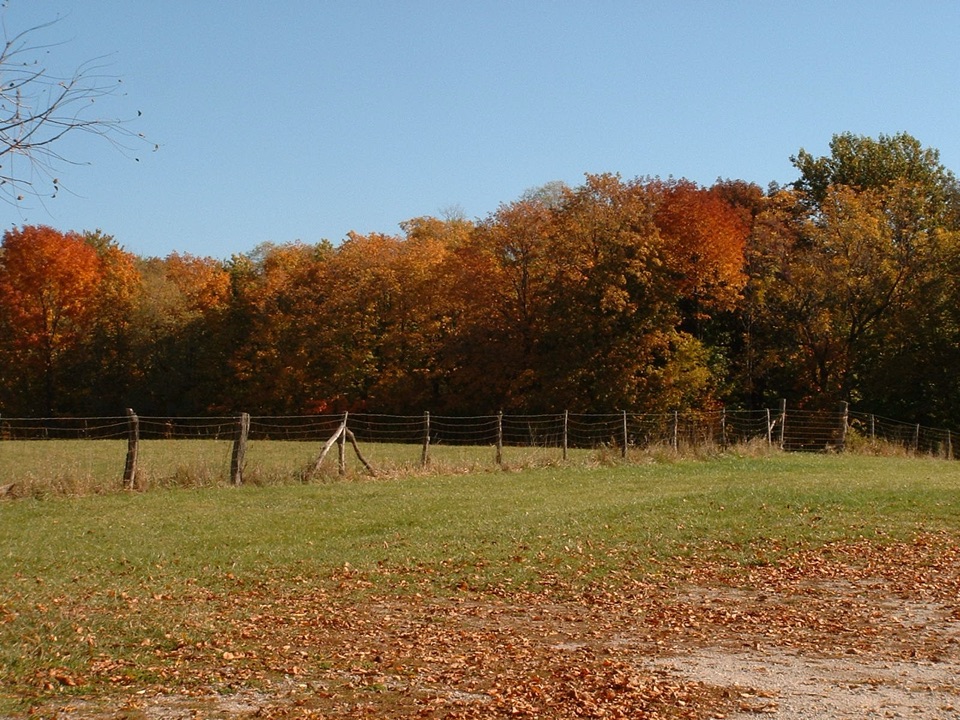
#8 of 34 trails in Indiana Dunes
Indiana Dunes National Park, IN
A short loop links a fur-trading post and a Swedish farm.
Overview
Map & elevation
Plan your hike

The highest, rockiest slopes around here are a summer buffet for grizzly bears.
Indiana Dunes Tour Guide
Parkwolf is a GPS audio tour guide for Indiana Dunes National Park. As you drive, it chimes in with what’s ahead: hidden gems, upcoming stops, history, geology, and wildlife, right through your car’s speakers.
Recorded for this trailhead
Bailly–Chellberg: Houses with a History“You're coming up on the Bailly–Chellberg historic area, where a short walk connects a Swedish-American farm and a fur-trading homestead.”
Plays as you drive up to this trailhead in the Parkwolf Indiana Dunes Tour Guide.
More stories near here in the app
“Fantastic app with many points of information… It’s great to just turn on while you’re driving and it gives you an audio tour of the national Park. We love it!!!!”


Trail guide
The Bailly/Chellberg Inner Loop is a 1.1-mile circuit through the Bailly Homestead and Chellberg Farm sites. It’s a good pick for a short walk with two very different pieces of local history; allow about an hour if you stop to look around the grounds. The river-and-prairie perimeter route is a separate, longer 3.4-mile loop, and the Bailly Cemetery spur is another walk beyond this one.
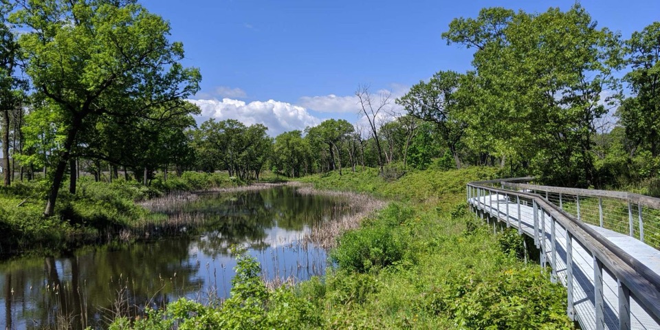
Most of the route is packed soil, with wood chips in places, through mature maple, beech, basswood and oak woods. There are some changes in elevation and several stair sets. The trail can be wet and muddy, and it isn’t wheelchair accessible. This is an easy outing when the ground is dry, but it can feel slower than the mileage suggests when the steps or mud are in play.
Honore Bailly set up a fur-trading post here in 1822, where Indigenous travel routes met the Little Calumet River. The trade network connected Montreal with communities as far away as Louisiana. The main hewn-log house dates to 1834–35, near the end of Bailly’s life, and the homestead became a National Historic Landmark in 1962. The story also sits within the forced displacement of Potawatomi people; this was a crossroads long before the trading post.
Swedish immigrants Anders and Johanna Kjellberg bought 80 acres here in the 1870s, starting three generations of family farming. The farmhouse visible today was rebuilt in brick after a fire in 1884; the barn, built around 1872, is the farm’s oldest surviving building. The Chellbergs began tapping maples in the early 1930s, eventually drawing sap from more than 100 trees and producing about 55 to 60 gallons of syrup a year. Their sugar shack stands beside a ravine carved by glacial meltwater.
Maple Sugar Time brings demonstrations of Indigenous, pioneer and modern syrup-making methods, usually during the first two weekends in March. The farmhouse interior is open only during festivals, demonstrations or ranger-guided tours, so plan on seeing the buildings from outside on an ordinary visit.
Use Bailly-Chellberg Lot on Mineral Springs Road, north of U.S. 20. The paved lot has year-round restrooms and drinking water, plus three covered picnic shelters. A park entrance pass is required. Dogs are allowed on leash no longer than six feet. Ticks are present year-round, and wet soil or wood chips can be slippery.
Wildlife
 85 sightingsBald EagleMost seen around 8 AMSighting map
 48 sightingsSandhill CraneMost seen around 6 PMSighting map
 113 sightingsWhite-tailed DeerMost seen around 6 PMSighting map
 23 sightingsCoyoteMost seen around 8 PMSighting map
 49 sightingsBeaverMost seen around 8 PMSighting map
 13 sightingsBarred OwlMost seen around 6 AMSighting map
Sighting maps show where each species has been reported across Indiana Dunes. Wildlife moves, so no sighting is guaranteed.
Keep exploring
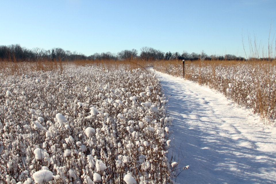 ModerateLittle Calumet River and Mnoké Prairie Outer Loop3.4 mi · 2.5 hr · At the trailheadA river crossing and prairie link two historic sites in one loop.
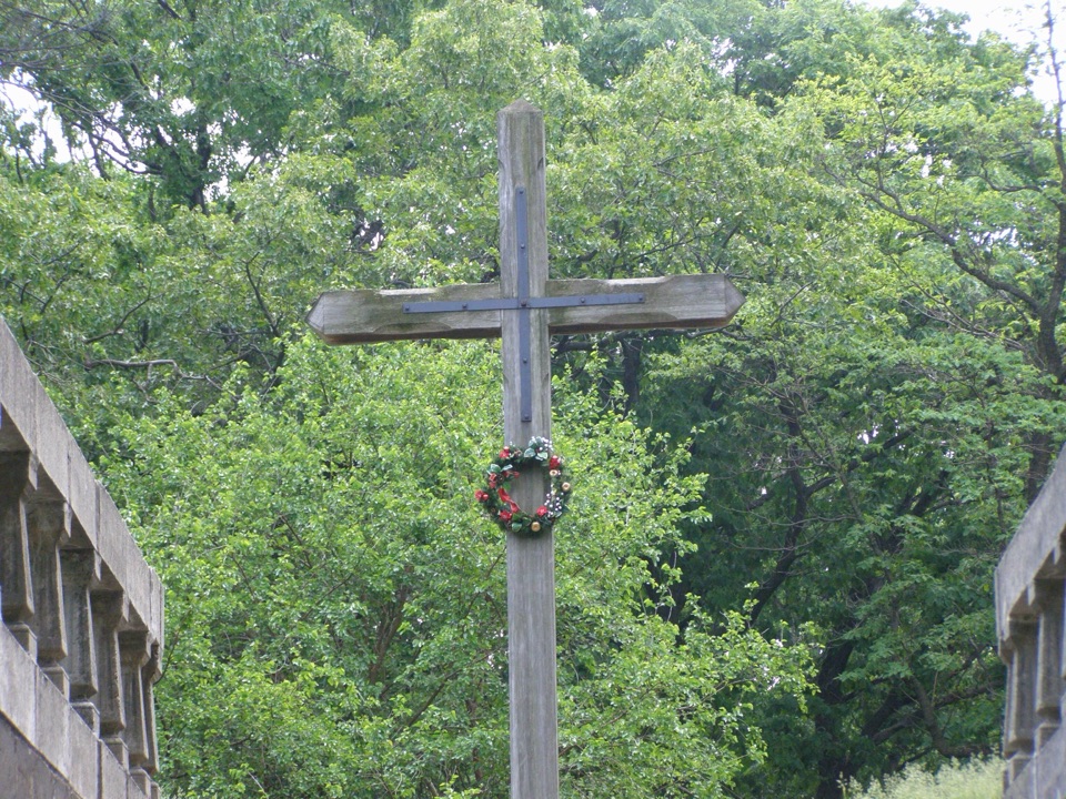 EasyBailly Cemetery Trail1.7 mi · 1.1 hr · At the trailheadA short woodland walk to the Bailly family cemetery.
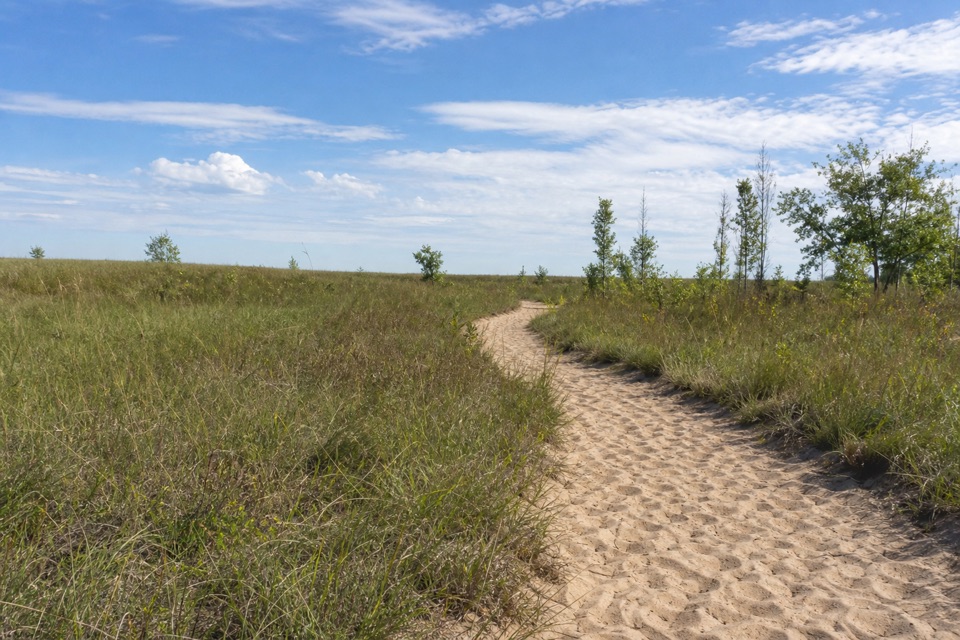 ModerateGreenbelt Trail to Lake Michigan4.4 mi · 3 hr · 0.9 mi awayA wetland-to-beach walk that earns its Lake Michigan view.
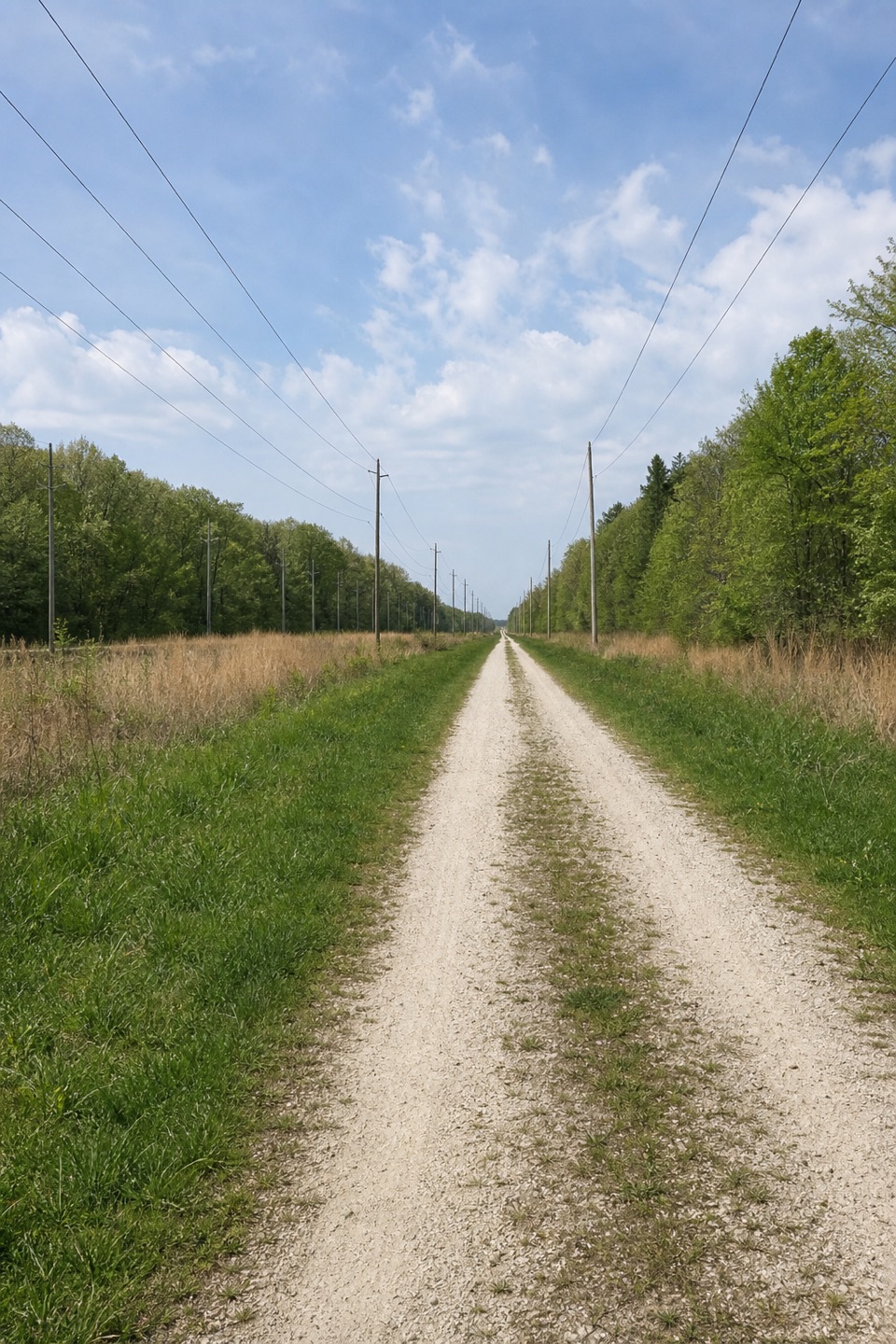 ModerateCalumet Bike Trail9.2 mi · 4.8 hr · 0.9 mi awayA mostly level, 9.2-mile link across the dune-country corridor.
 EasyPrairie Duneland Bike Trail11.2 mi · 1 hr · 1.3 mi awayFlat, paved miles link quiet woods, small towns, and farm fields.
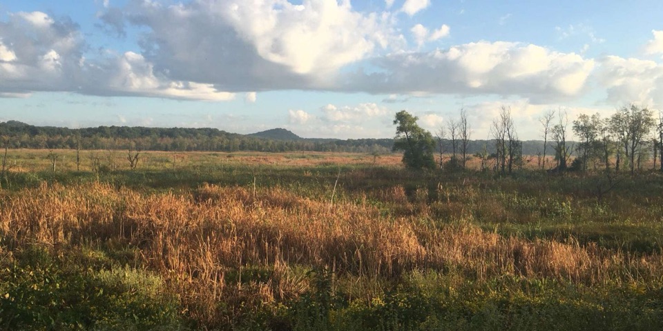 ModerateCowles Bog Trail4.7 mi · 4 hr · 1.4 mi awayWetland, savanna, and dunes lead to a steep Lake Michigan finish
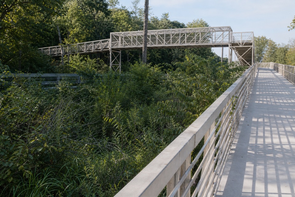 EasyPorter Brickyard Bike Trail4 mi · 1.8 hr · 1.4 mi awayA paved connector with forest stretches and two highway overpasses.
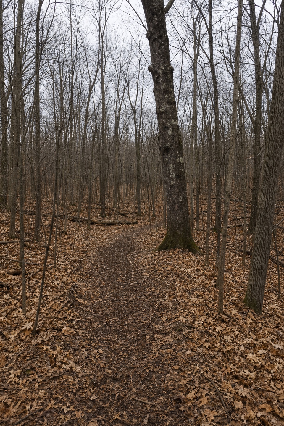 EasyHeenan Trail0.1 mi · 5 min · 1.8 mi awayA short Dune Acres namesake path with access still unverified.
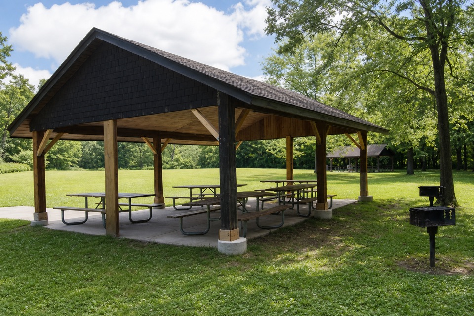 Picnic area · At the trailheadBailly–Chellberg Picnic AreaThree reservable shelters for a picnic beside Bailly and Chellberg.
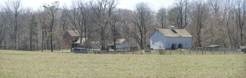 Sight · 0.2 mi awayChellberg FarmBrick farmhouse, old barn and a maple-sugar story in the woods.
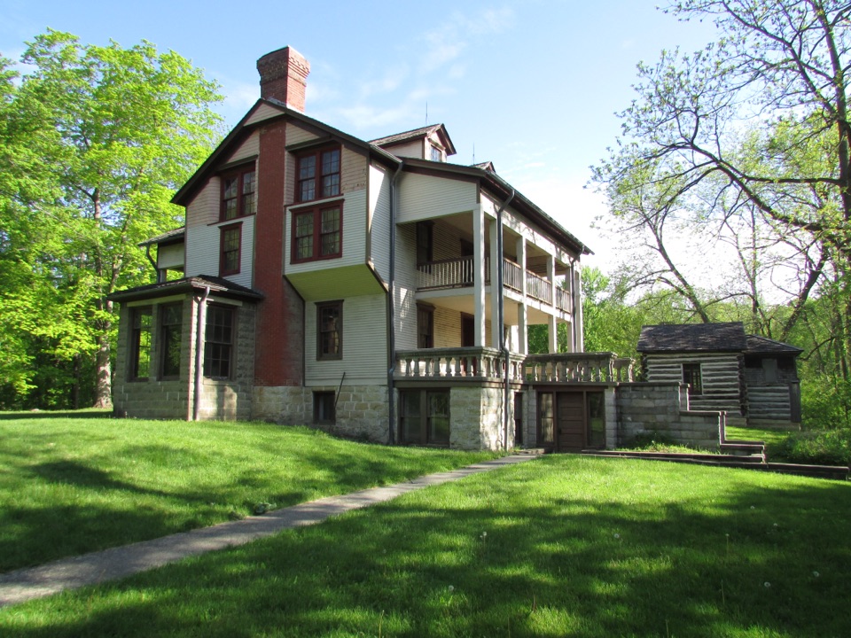 Sight · 0.3 mi awayBailly HomesteadA fur-trading homestead tied to Potawatomi removal and regional settlement.
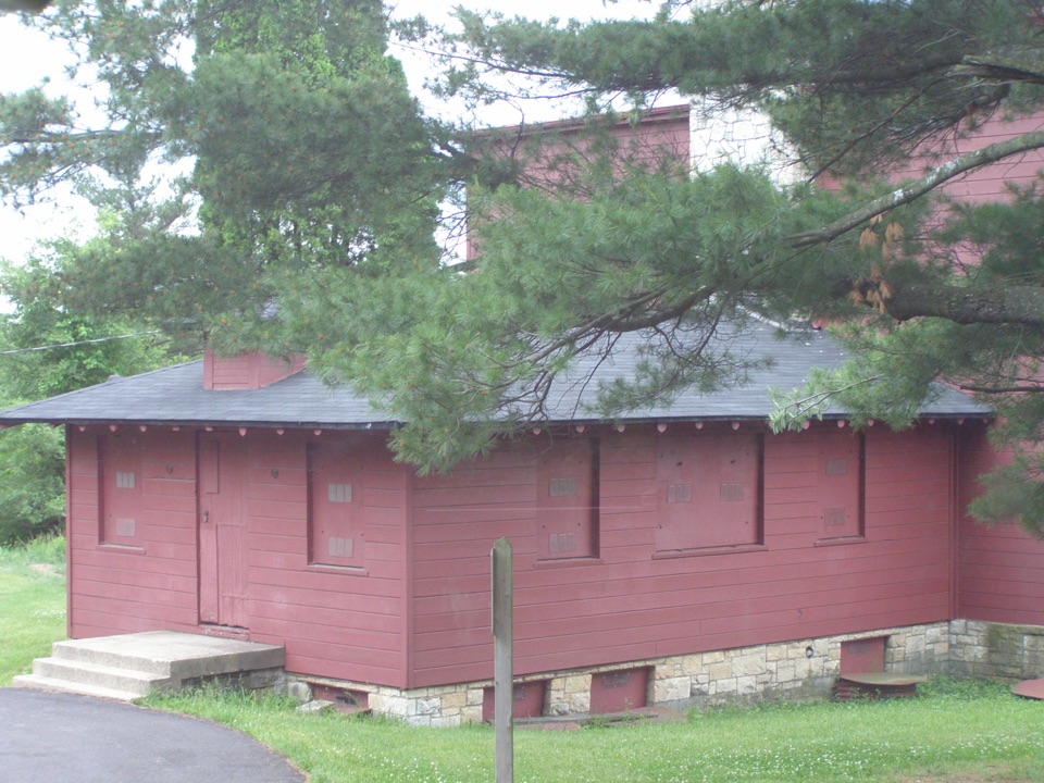 Sight · 0.6 mi awayGood Fellow Lodge at Dunes Learning CenterA 1941 camp survives as an outdoor school; register before you go.
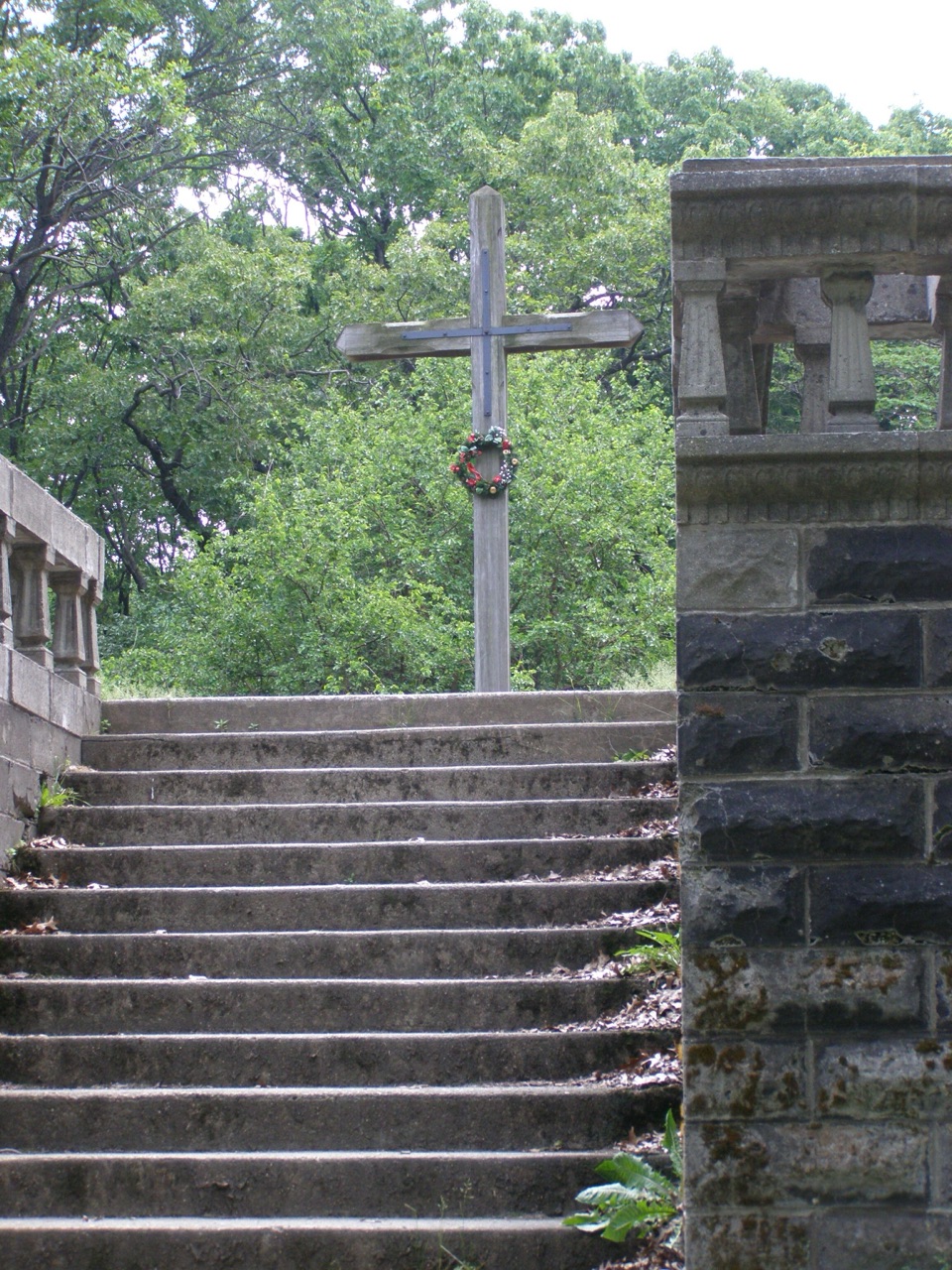 Sight · 0.6 mi awayBailly CemeteryA walled hilltop cemetery whose original graves lie beneath the surface.
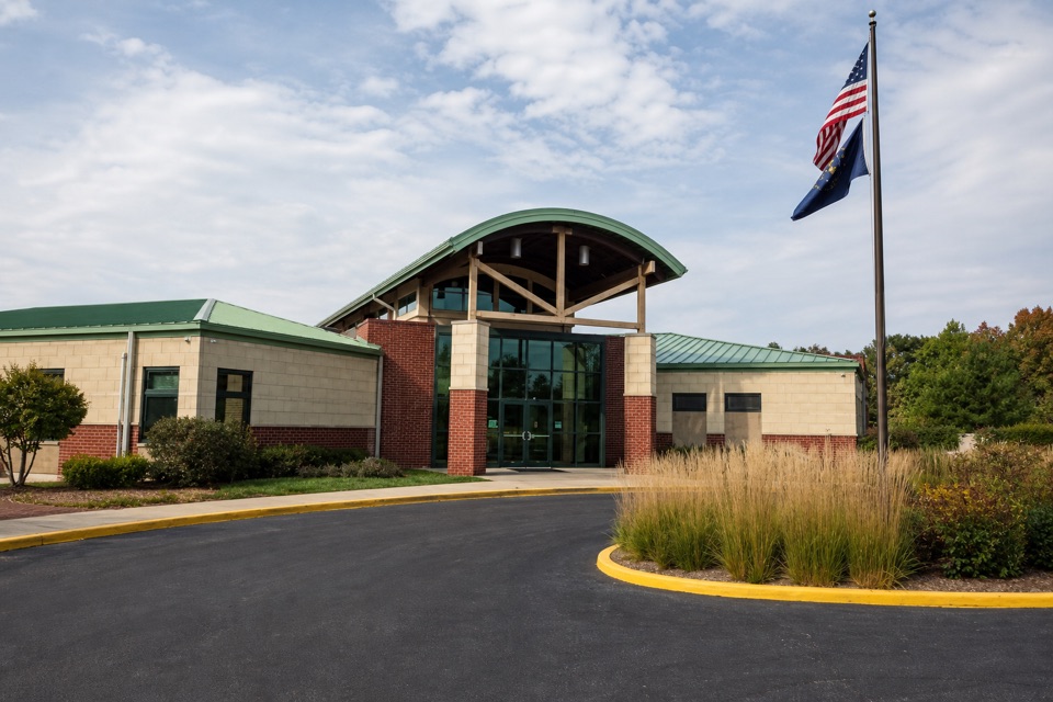 Visitor center · 1.9 mi awayIndiana Dunes Visitor CenterStart here to sort out which beach, trail or park comes next.
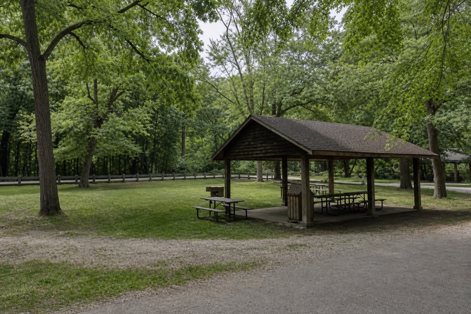 Picnic area · 2.6 mi awayTremont Picnic AreaA shaded picnic break, not a beach or dune-view stop.
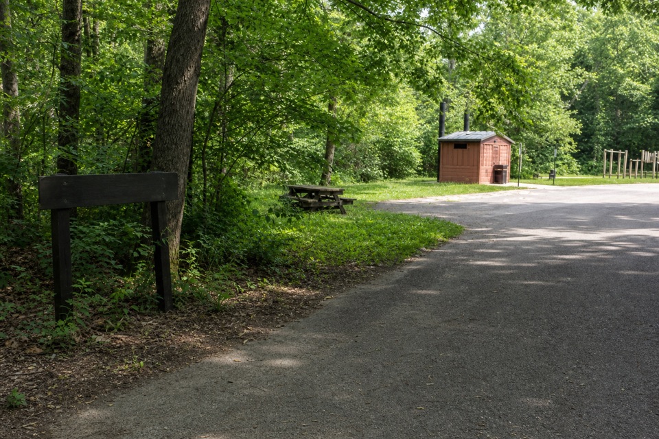 Campground · 2.6 mi awayNissaki Youth Tent AreaThree primitive group areas for youth tent camping.
Parkwolf’s Indiana Dunes ranking

The audio tour guide for the drive, plus offline maps, trails, and wildlife heatmaps for when the signal drops.