Greenbelt Trail to Lake Michigan in Indiana Dunes National Park

Indiana Dunes National Park, IN

Greenbelt Trail to Lake Michigan

A wetland-to-beach walk that earns its Lake Michigan view.

Length
4.4mi
Time
3hr
Elev. change
144ft
Difficulty
Moderate
  • Dogs allowed
  • High point 715 ft

Hear the audio tour

Greenbelt: The South Route to the Beach

Overview

About Greenbelt Trail to Lake Michigan

Why go

  • A direct wetland-to-shoreline walk with Lake Michigan at the turnaround.

Heads up

  • Loose sand and the steep final dune make the beach leg strenuous.

Map & elevation

The route

Loading the Indiana Dunes map
Full map
Elevation571–715 ft
TrailheadGreenbelt (south) parking lot41.63690, -87.08719
Keep this map with you offline in the Parkwolf app

Plan your hike

Before you go

Parking

Use the paved Greenbelt (south) lot at 1184 North Mineral Springs Road; its entrance is just left after the railroad tracks. The lot has about 18 spaces and restrooms. If the Cowles lots fill, NPS directs visitors to park headquarters overflow near U.S. 12 and cross by the pedestrian bridge; there are no public restrooms at overflow.


Safety

Loose sand and a steep final dune; no potable water. Ticks are present year-round and poison ivy can edge the path. A park pass is required. The trail is not wheelchair accessible; dogs must be leashed no longer than six feet.

4 active Indiana Dunes alerts

  • CautionLake Michigan water-safety alert after recent stormsMentions Lake Michigan, referenced in this guideDo not enter Lake Michigan after heavy rainfall or recent storms because E. coli levels are likely to rise above safe swimming standards.Official details
  • ClosureTrail closures and flooding-related access limitsSeveral Indiana Dunes trails are closed or partially inaccessible because of tree damage, riverbank collapse, flooding, and Marquette Greenway construction; stay out of closed sections and use…Official details
See all 4 alerts
A park ranger sits on a dash-mounted phone, talking, as Parkwolf’s Tour Guide plays “Army Cutworm Moths: A Grizzly Bear Buffet” on Grand Loop Road below Dunraven Pass in Yellowstone
Parkwolf Tour GuideThe highest, rockiest slopes around here are a summer buffet for grizzly bears.

Indiana Dunes Tour Guide

Your drive to Greenbelt Trail to Lake Michigan, narrated.

Parkwolf is a GPS audio tour guide for Indiana Dunes National Park. As you drive, it chimes in with what’s ahead: hidden gems, upcoming stops, history, geology, and wildlife, right through your car’s speakers.

Recorded for this trailhead

Greenbelt: The South Route to the Beach
0:00 / 0:24
“You're approaching the Greenbelt south trailhead, another starting point for the walk to Cowles Bog's beach.”

Plays as you drive up to this trailhead in the Parkwolf Indiana Dunes Tour Guide.

More stories near here in the app

  • Cowles Bog: Woods to Lake
  • Bailly–Chellberg: Houses with a History
  • Before a Dragonfly Takes Flight
  • A Campaign from a Living Room
  • 51 audio storiesacross Indiana Dunes’s roads, triggered by GPS as you drive
  • Wildlife heatmapsfor Bald Eagle, Sandhill Crane, White-tailed Deer, and 13 more
  • Works offlinemaps, 34 trails, 30 places, and audio download before you lose signal
  • CarPlay readysimple controls built for the drive
★★★★★
“Fantastic app with many points of information… It’s great to just turn on while you’re driving and it gives you an audio tour of the national Park. We love it!!!!”
JMJamesApp Store review
Download Parkwolf on the App StoreGet Parkwolf on Google Play

4.7 from 8,600+ ratings

Trail guide

Hiking Greenbelt Trail to Lake Michigan

A south-access walk to Lake MichiganThis is the Greenbelt south-lot route to the beach at Cowles Bog: a 4.

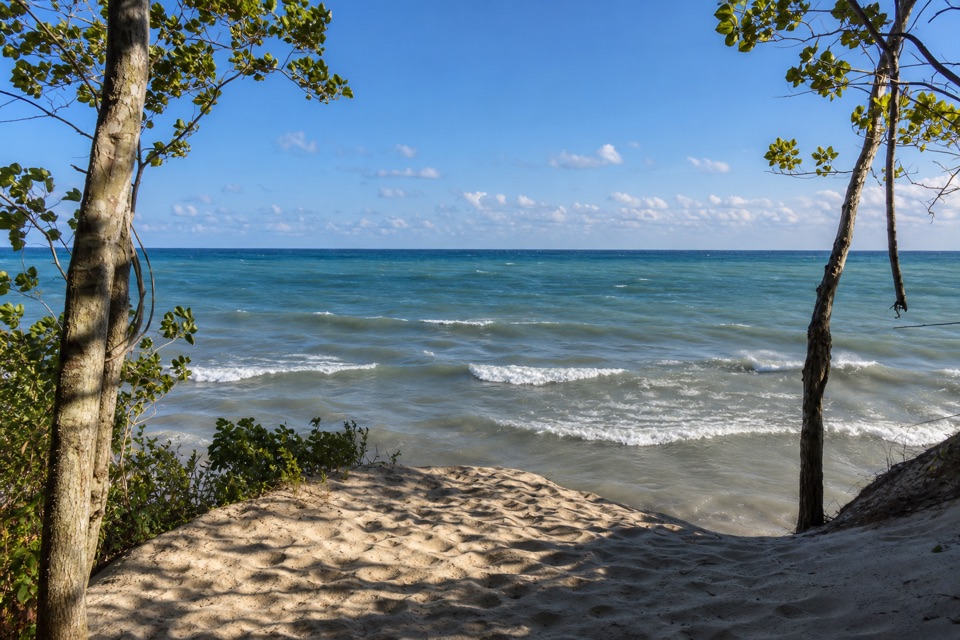
This is the Greenbelt south-lot route to the beach at Cowles Bog: a 4.4-mile out-and-back, about 2.2 miles each way. You walk the Greenbelt connector into the Cowles Bog trail, then follow it through wetland and dune terrain to Lake Michigan and return the same way. It’s a good half-day choice when you want more than a short overlook but don’t want the longer Cowles Bog loop from the north lot.

Follow the hiking trailThe Greenbelt lot serves two bike routes as well as hiking access, so choose the marked…

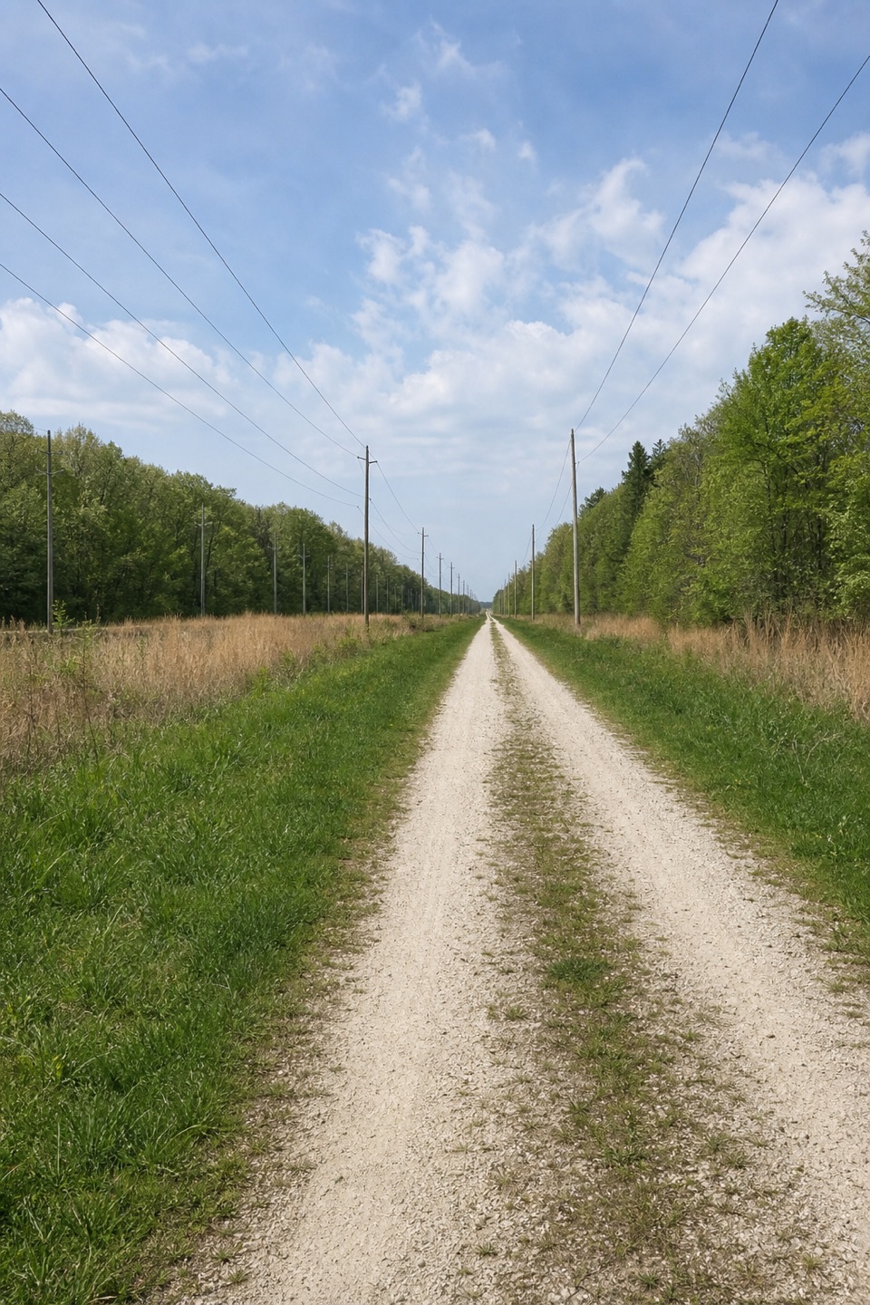
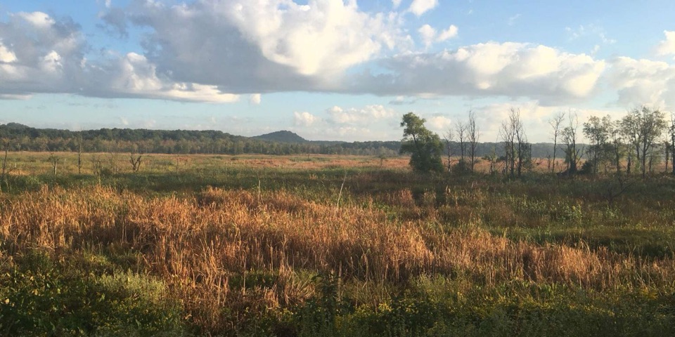
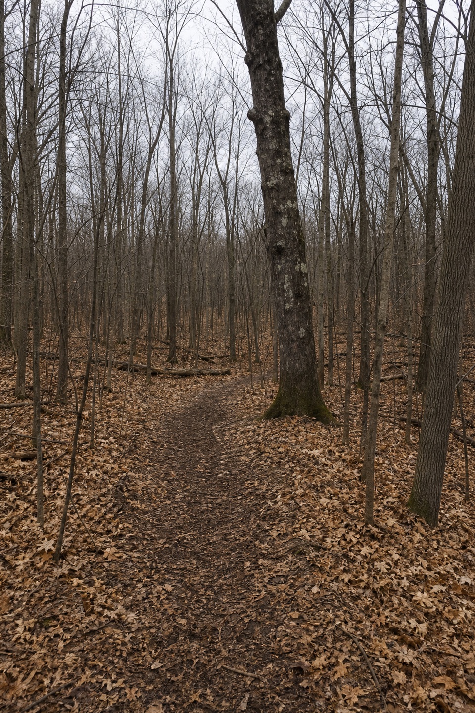
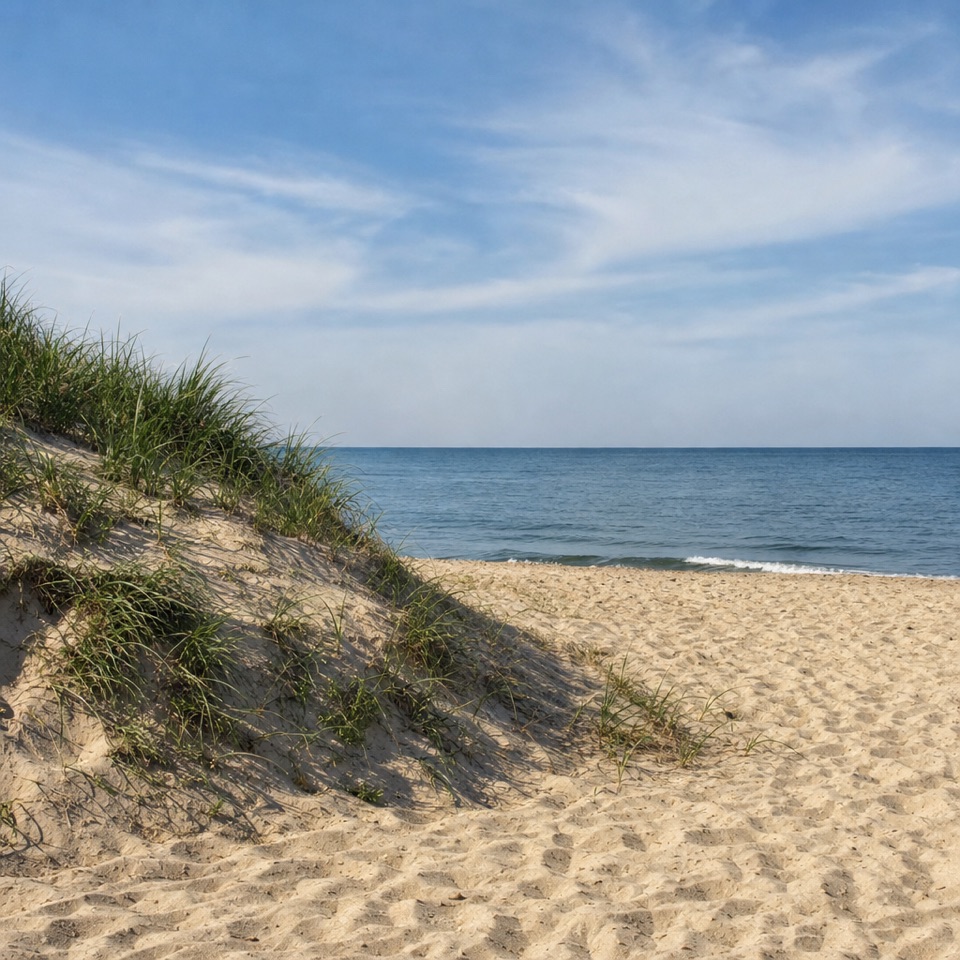
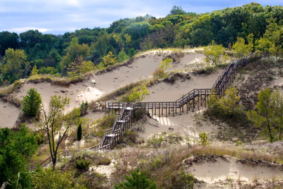
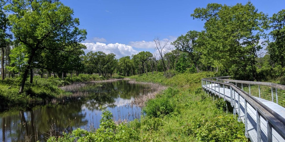
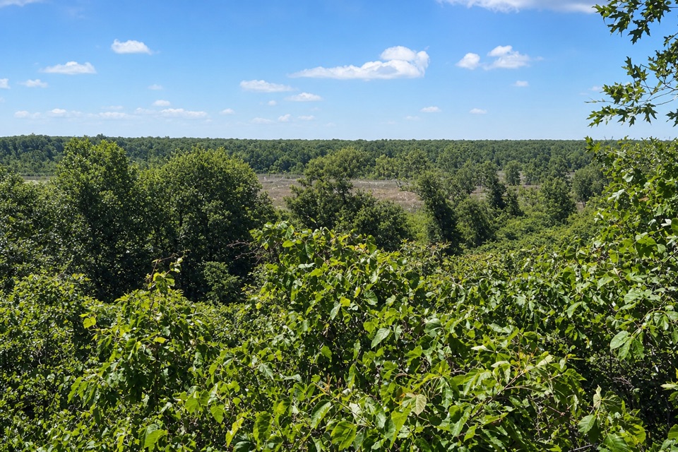
The Greenbelt lot serves two bike routes as well as hiking access, so choose the marked footpath. The connector is about a mile; after that, the route carries you through a mosaic of ponds, marshes, swamps and black oak savanna. The last approach climbs a steep sandy dune before opening onto the beach. For a photo, turn back toward the dune so the climb is still in the frame.

Sand sets the paceThe path alternates packed dirt and loose sand; on the final dune the sand shifts underfoot and…

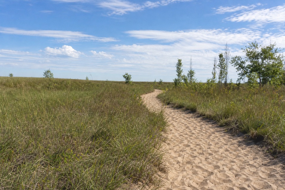
The path alternates packed dirt and loose sand; on the final dune the sand shifts underfoot and makes the climb harder than the distance suggests. The Cowles Bog hike is moderate to rugged. Allow around three hours, and more if you want a real break at the beach. Lakeshore weather can be very different from the parking lot. Bring water, sun protection and an extra layer—there’s no drinking water on the route.

A landmark with a backstoryCowles Bog was designated a National Natural Landmark in 1965 for its plant diversity.

Cowles Bog was designated a National Natural Landmark in 1965 for its plant diversity. Botanist Henry Cowles studied plant succession and ecology here in the early 1900s; his research helped establish plant ecology as a field. The walk’s shift from marshes and ponds to oak savanna, high sand and lakefront is the reason to linger over more than the shoreline.

Before you goStart at the paved Greenbelt south lot on North Mineral Springs Road.

Start at the paved Greenbelt south lot on North Mineral Springs Road. It has restrooms but no potable water; if the Cowles lots are full, overflow is at park headquarters across U.S. 12 by a pedestrian bridge, with no restrooms there. A park pass is required. Dogs are allowed on a leash no longer than six feet; the route isn’t wheelchair accessible.

Wildlife

Wildlife in Indiana Dunes

All Indiana Dunes wildlife maps

Sighting maps show where each species has been reported across Indiana Dunes. Wildlife moves, so no sighting is guaranteed.

Keep exploring

Near Greenbelt Trail to Lake Michigan

See it all on the map

Trails that start nearby

Places near the trailhead

Parkwolf’s Indiana Dunes ranking

Top-rated trails in Indiana Dunes

All 34 trails
  1. 1Cowles Bog TrailModerate · 4.7 mi
  2. 2Dune Succession TrailModerate · 0.9 mi
  3. 3Paul H. Douglas Trail (Miller Woods)Moderate · 3.4 mi
  4. 4West Beach 3-Loop TrailModerate · 3.4 mi
  5. 5Mount Baldy Beach TrailModerate · 0.8 mi
  6. 6Dune Ridge TrailModerate · 0.7 mi

Take Parkwolf to Indiana Dunes.

The audio tour guide for the drive, plus offline maps, trails, and wildlife heatmaps for when the signal drops.

4.7 from 8,600+ ratings

Download Parkwolf on the App StoreGet Parkwolf on Google Play