Parking
Rock Harbor is reached by ferry, seaplane, or private boat; there is no road access or parking on Isle Royale. Start from the trail access just past Rock Harbor Campground.

#8 of 39 trails in Isle Royale
Isle Royale National Park, MI
A rocky shoreline loop to Isle Royale’s inland sea arch.
Overview
Suzy’s Cave Loop is a 3.8-mile moderate circuit from Rock Harbor. It follows Rock Harbor Trail west from the campground access, turns inland at the wooden cave marker, then continues to the easier Tobin Harbor Trail for the return. The full loop usually takes about three to four hours with time to stop; the park’s estimate spans two to six hours. Choose it for the unusual sea arch and a longer walk through Rock Harbor’s forest and shoreline. If you want smooth, even footing, this is not the best pick.
 Parkwolf’s verdictIs this the Rock Harbor hike for you?
Map & elevation
Plan your hike

The highest, rockiest slopes around here are a summer buffet for grizzly bears.
Isle Royale Tour Guide
Parkwolf is a GPS audio tour guide for Isle Royale National Park. As you drive, it chimes in with what’s ahead: hidden gems, upcoming stops, history, geology, and wildlife, right through your car’s speakers.
Recorded for this area
Rock Harbor Lodge and Scoville Point“You're approaching Rock Harbor Lodge, a useful stop for a hot meal even if you're not staying overnight. Greenstone Grill serves pizza, burgers and sandwiches, with a deck overlooking the harbor.”
Plays near this trailhead in the Parkwolf Isle Royale Tour Guide.
More stories near here in the app
“Fantastic app with many points of information… It’s great to just turn on while you’re driving and it gives you an audio tour of the national Park. We love it!!!!”


Trail guide
From the trail access just past Rock Harbor Campground, follow Rock Harbor Trail west. The park places the cave turnoff about 1.8 miles beyond the campground. The tread is unpaved, narrow, and covered with rocks and roots; the park says this is significantly more challenging than Tobin Harbor Trail. Watch for the wooden post and take the inland connection to the cave rather than continuing along the longer routes toward Three Mile.
Suzy’s Cave is a small opening beneath a broad rock arch, not a cavern to walk through. Waves cut the arch when Lake Superior stood higher, about 4,000 years ago; the old waterline now sits inland from today’s shore. The NPS natural-history handbook links it to the Lake Nipissing stage, when the lake stood about 40–60 feet above its present level. The rock makes a brief stop feel like a glimpse of a different lake edge. For a photo, include the stone lip and dark opening together, with some of the rocky approach in view so the arch’s shape reads clearly.
From the cave, continue to Tobin Harbor Trail and follow its gentler tread back to Rock Harbor. This is the easier half of the circuit, but it remains an unpaved forest path. Walkers describe water views along both sides, so the return gives you a different look at the harbor rather than simply repeating the same shoreline. If the Rock Harbor tread is too rough, the park also identifies Tobin Harbor Trail as an alternate way to reach the cave; walking that trail out and back avoids the rougher leg, but means retracing the easier side instead of making the loop. Spruce, fir, and birch form a thick canopy through much of the walk. Moose are among the wildlife the park suggests watching for, though sightings are never guaranteed.
Rock Harbor is reached by ferry, seaplane, or private boat; there is no road access or parking on Isle Royale. The route is listed for spring through fall, and dogs are not allowed. Carry drinking water: seasonal potable water is available in Rock Harbor, but I found no confirmed refill point on the trail. The Greenstone Grill and Lighthouse Restaurant are separate, seasonal food stops back in the Rock Harbor area; service dates vary. Wet trails can be slippery, especially on the rockier Rock Harbor leg.
Wildlife
 308 sightingsMooseMost seen around 8 PMSighting map
 93 sightingsWolfMost seen around 8 PMSighting map
 77 sightingsBald EagleMost seen around 5 PMSighting map
 150 sightingsLoonMost seen around 7 AMSighting map
 24 sightingsTrumpeter SwanMost seen around 6 PMSighting map
 71 sightingsBeaverMost seen around 8 PMSighting map
Sighting maps show where each species has been reported across Isle Royale. Wildlife moves, so no sighting is guaranteed.
Keep exploring
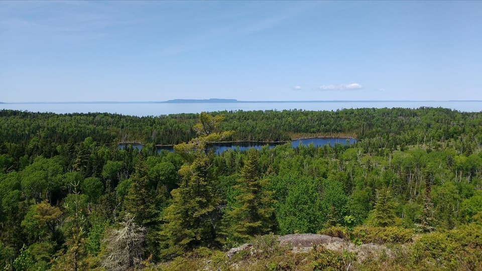
 ModerateScoville Point Loop4.2 mi · 3 hr · At the trailheadA rough lakeshore and wooded harbor side meet at Scoville Point.
 ModerateRock Harbor Trail11 mi · 7 hr · At the trailheadAn 11-mile rocky shoreline hike from Rock Harbor to Moskey Basin.
 ModerateStoll Memorial Trail (Short Loop)1.8 mi · 1.5 hr · At the trailheadA wooded and rocky interpretive loop near Rock Harbor.
 EasyTobin Harbor Trail3 mi · 3 hr · 0.1 mi awayHarbor islands and an inland sea arch off an easy woodland walk
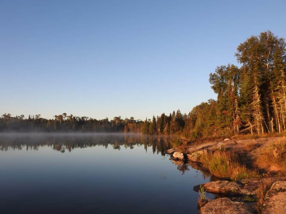 ChallengingHarbor to Hills Loop33.2 mi · 1.3 days · 0.1 mi awayA 33-mile island loop climbs from Lake Superior shore to Greenstone Ridge.
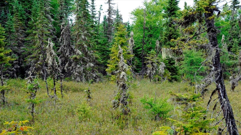 EasyRaspberry Island Trail0.9 mi · 45 min · 0.5 mi awayBoardwalks lead into a tiny bog before the rocky shore.
 ModerateTobin–Duncan Portage Trail1.6 mi · 1.5 hr · 0.6 mi awayA steep, boat-accessed crossing over Greenstone Ridge.
 ModerateLookout Louise Trail2 mi · 1.3 hr · 1 mi awayA rocky climb past Monument Rock opens over Duncan Bay.
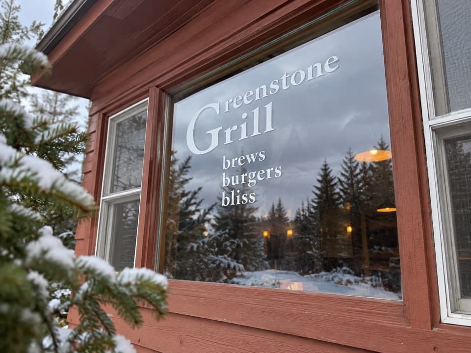 Restaurant · 0.1 mi awayGreenstone GrillA hot meal and harbor-view deck after a day on the island.
 Restaurant · 0.1 mi awayLighthouse RestaurantA sit-down meal at Rock Harbor, far from the mainland.
 Lodging · 0.1 mi awayRock Harbor LodgeStay beside Lake Superior at the island's only full-service lodge.
 Sight · 0.1 mi awayRock Harbor MarinaFuel, rentals and dock services in a remote island harbor.
 Visitor center · 0.1 mi awayRock Harbor Visitor CenterA smart first stop for ranger answers and island trip planning.
 Store · 0.1 mi awayRock Harbor StoreGroceries, fuel and gear before you leave the main dock.
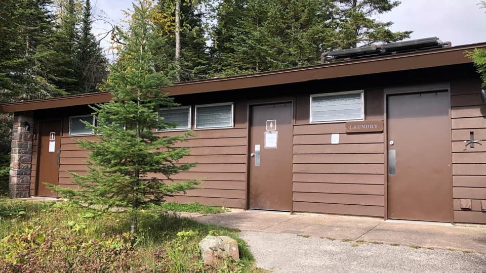 Restroom · 0.1 mi awayRock Harbor Comfort StationSeasonal toilets, showers and laundry in Rock Harbor.
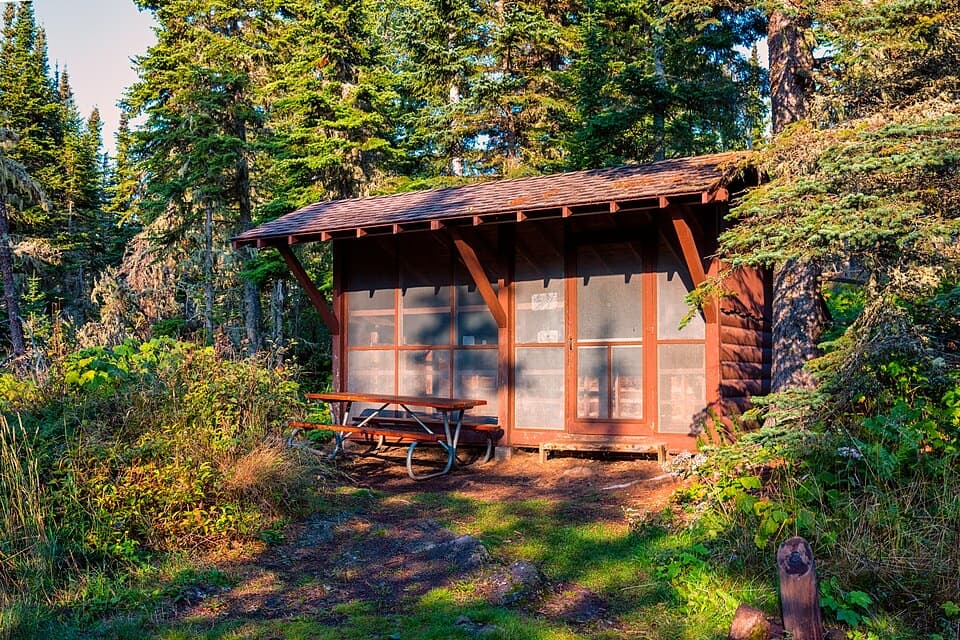 Campground · 0.3 mi awayRock Harbor CampgroundA busy harbor base with campsites close to ferries and trailheads.
Parkwolf’s Isle Royale ranking
The audio tour guide for the drive, plus offline maps, trails, and wildlife heatmaps for when the signal drops.