Parking
Begin at Rock Harbor Visitor Center after arriving by ferry, seaplane or private boat; the island has no road access.
Isle Royale National Park, MI
A 33-mile island loop climbs from Lake Superior shore to Greenstone Ridge.
Overview
Map & elevation
Plan your hike

The highest, rockiest slopes around here are a summer buffet for grizzly bears.
Isle Royale Tour Guide
Parkwolf is a GPS audio tour guide for Isle Royale National Park. As you drive, it chimes in with what’s ahead: hidden gems, upcoming stops, history, geology, and wildlife, right through your car’s speakers.
Recorded for this area
Rock Harbor Lodge and Scoville Point“You're approaching Rock Harbor Lodge, a useful stop for a hot meal even if you're not staying overnight. Greenstone Grill serves pizza, burgers and sandwiches, with a deck overlooking the harbor.”
Plays on the road 0.1 mi from the trailhead in the Parkwolf Isle Royale Tour Guide.
More stories near here in the app
“Fantastic app with many points of information… It’s great to just turn on while you’re driving and it gives you an audio tour of the national Park. We love it!!!!”


Trail guide
This is a roughly 33-mile clockwise backpacking loop from Rock Harbor that links the Lake Superior shore, interior lakes and the eastern Greenstone Ridge. The saved route goes from Rock Harbor through Moskey Basin and Lake Richie, follows Indian Portage to West Chickenbone, reaches the ridge by the East Chickenbone Lake Trail, then returns over Greenstone Ridge and Mount Franklin via Tobin Harbor. The full mapped line measures 33.2 miles. The park describes Harbor to Hills as a family of 26–33-mile itineraries, and its published mileage for Lake Richie to West Chickenbone is shorter than the connected trail line used here. Confirm the current map and your chosen campsite sequence before planning daily mileage. A shorter Ranger III itinerary follows a different route.
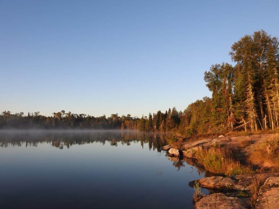
The Rock Harbor Trail starts with Lake Superior close by. Openings along Rock Harbor Channel look toward the outer islands, Rock Harbor Lighthouse and Edisen Fishery. Beyond Daisy Farm, the trail leaves the channel and winds through forest with rocky outcrops on the way to Moskey Basin. The changing shoreline and inland scenery make this a rewarding first stretch, but it is still a long walk between camps.
From Moskey Basin, Lake Richie Trail turns inland through streams, wet ground and exposed rocky outcrops. Indian Portage then links the interior lakes, passing through a quieter forest-and-wetland landscape toward Chickenbone. Expect the route to feel less like a shoreline walk and more like a sequence of lake crossings and wooded connectors. The mapped section to West Chickenbone is the main distance uncertainty: use the longer connected line when planning until the park confirms the current route mileage.
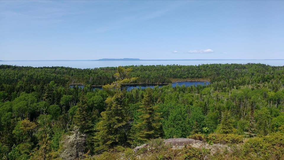
From the Chickenbone area the route climbs back toward the Greenstone Ridge and its eastbound views. The eastern ridge opens north over forest, Lake Superior and the distant Canadian shore; the old fire tower at Mount Ojibway and the north-facing Mount Franklin overlook are clear landmarks along this high stretch. From Mount Franklin the line turns down toward Tobin Harbor. The panorama is the trip’s high point; the long approach through lakes and wetlands is part of the payoff.
Plan on five to six days for the broader Harbor-to-Hills experience, not a day hike. This selected circuit is about 33 miles, and rugged tread, wet areas, elevation changes and stops can stretch the walking day. Divide it around the permitted backcountry campgrounds that fit your itinerary, and keep enough flexibility for slow conditions. Overnight stays require a backcountry permit. Services on the island are limited, so arrive self-sufficient with food, a map and a water plan; check current water guidance before treating interior sources.
Isle Royale is reached by ferry, seaplane or private boat. Start and finish at Rock Harbor, and confirm transportation dates and the park’s current trail and campground conditions before you commit to a schedule. Weather can deteriorate quickly; rocky tread, streams and wetlands can make footing slow. Mosquitoes and black flies are most troublesome in June and July and may continue into August. Dogs, cats and other mammals are prohibited in the park, including on boats inside park boundaries.
Wildlife
 308 sightingsMooseMost seen around 8 PMSighting map
 93 sightingsWolfMost seen around 8 PMSighting map
 77 sightingsBald EagleMost seen around 5 PMSighting map
 150 sightingsLoonMost seen around 7 AMSighting map
 24 sightingsTrumpeter SwanMost seen around 6 PMSighting map
 71 sightingsBeaverMost seen around 8 PMSighting map
Sighting maps show where each species has been reported across Isle Royale. Wildlife moves, so no sighting is guaranteed.
Keep exploring
 EasyTobin Harbor Trail3 mi · 3 hr · 0.1 mi awayHarbor islands and an inland sea arch off an easy woodland walk
 ModerateScoville Point Loop4.2 mi · 3 hr · 0.1 mi awayA rough lakeshore and wooded harbor side meet at Scoville Point.
 ModerateSuzy’s Cave Loop3.8 mi · 3.5 hr · 0.1 mi awayA rocky shoreline loop to Isle Royale’s inland sea arch.
 ModerateRock Harbor Trail11 mi · 7 hr · 0.1 mi awayAn 11-mile rocky shoreline hike from Rock Harbor to Moskey Basin.
 ModerateStoll Memorial Trail (Short Loop)1.8 mi · 1.5 hr · 0.1 mi awayA wooded and rocky interpretive loop near Rock Harbor.
 ModerateTobin–Duncan Portage Trail1.6 mi · 1.5 hr · 0.5 mi awayA steep, boat-accessed crossing over Greenstone Ridge.
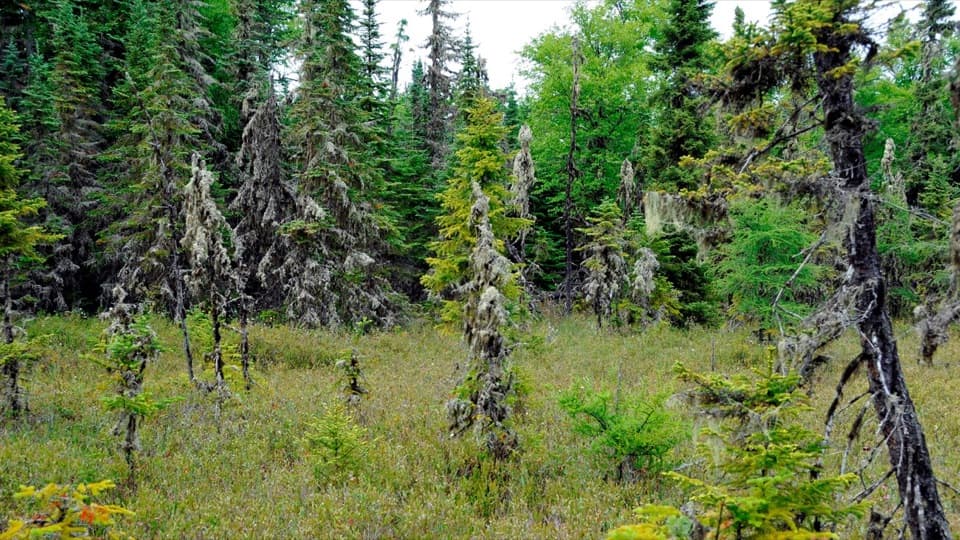 EasyRaspberry Island Trail0.9 mi · 45 min · 0.6 mi awayBoardwalks lead into a tiny bog before the rocky shore.
 ModerateLookout Louise Trail2 mi · 1.3 hr · 1.1 mi awayA rocky climb past Monument Rock opens over Duncan Bay.
 Visitor center · At the trailheadRock Harbor Visitor CenterA smart first stop for ranger answers and island trip planning.
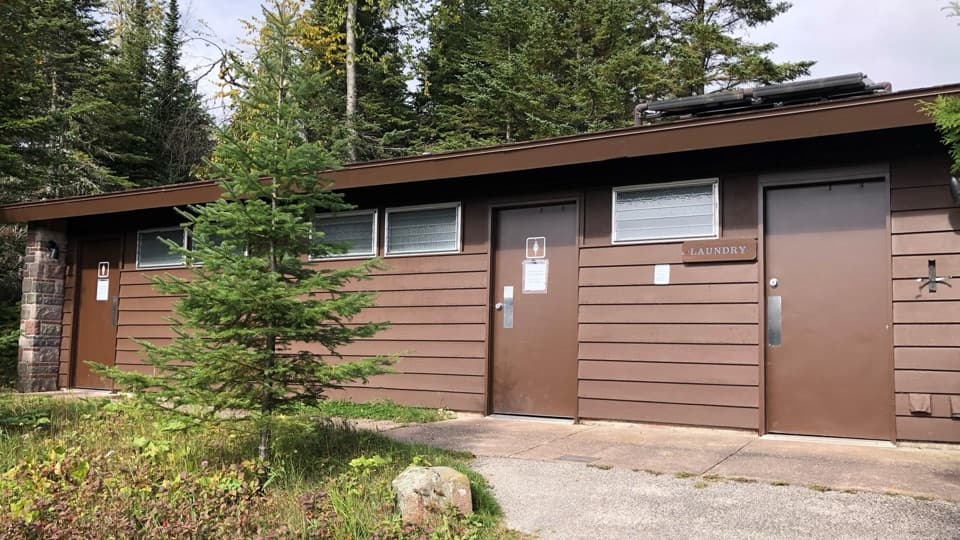 Restroom · At the trailheadRock Harbor Comfort StationSeasonal toilets, showers and laundry in Rock Harbor.
 Store · At the trailheadRock Harbor StoreGroceries, fuel and gear before you leave the main dock.
 Sight · At the trailheadRock Harbor MarinaFuel, rentals and dock services in a remote island harbor.
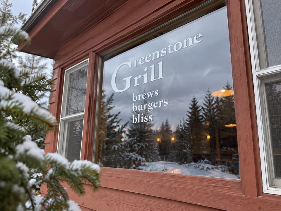 Restaurant · 0.1 mi awayGreenstone GrillA hot meal and harbor-view deck after a day on the island.
 Restaurant · 0.1 mi awayLighthouse RestaurantA sit-down meal at Rock Harbor, far from the mainland.
 Lodging · 0.2 mi awayRock Harbor LodgeStay beside Lake Superior at the island's only full-service lodge.
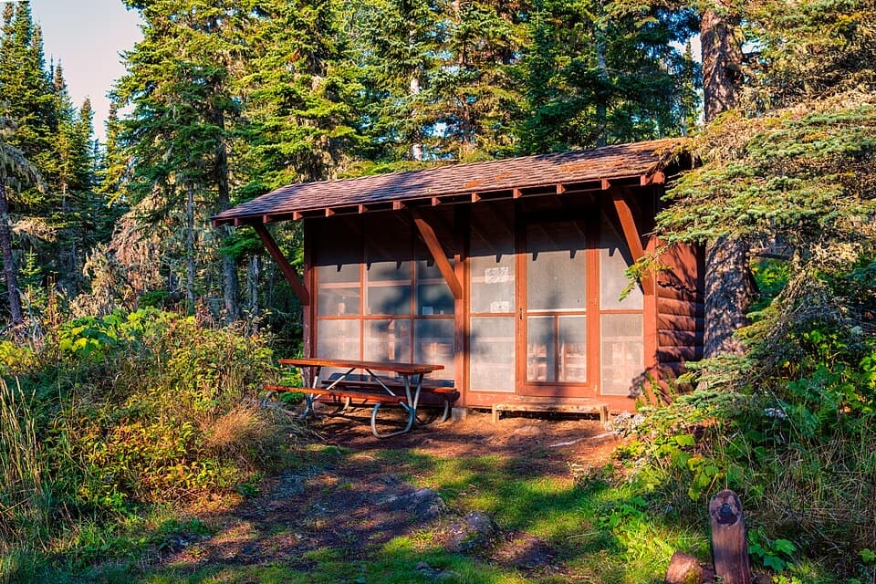 Campground · 0.2 mi awayRock Harbor CampgroundA busy harbor base with campsites close to ferries and trailheads.
Parkwolf’s Isle Royale ranking

The audio tour guide for the drive, plus offline maps, trails, and wildlife heatmaps for when the signal drops.