Pros & cons
PROS
- Wide-open panoramas across Lake Superior to Canada
- Sits on Greenstone Ridge with connections for longer hikes
CONS
- Long, sometimes strenuous round trip from Rock Harbor (~10 miles)
- No amenities—carry all water; exposed to wind and sun up top
Overview
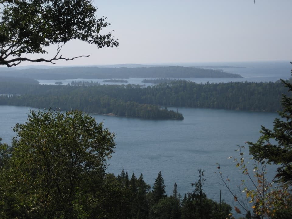
Mount Franklin is a rocky bluff on the east end of Greenstone Ridge, named for Benjamin Franklin. It’s all about the view: sweeping sightlines over Isle Royale’s interior forests and out to Lake Superior and the distant Canadian shore.
Getting There
Reach it on foot from Rock Harbor via the Rock Harbor or Tobin Harbor Trails, then up to the Greenstone Ridge. Most visitors treat it as a roughly 10‑mile round‑trip day hike from Rock Harbor. There’s no road access—this is pure backcountry.
What You’ll See
From the open, lichen-crusted rock, you get unobstructed vistas of the island’s ridges and the rugged north shore, with Superior glinting beyond. The area includes jack pine and other hardy ridge-top vegetation, adding to that wind-swept, high-island feel.
Trail Feel and Why It’s Worth It
It’s a classic Isle Royale objective: a steady climb, big payoff, and a real sense of the island’s scale. The overlook sits on a key stretch of Greenstone Ridge with links used by day hikers and backpackers alike, making it easy to fold into longer itineraries.
Wildlife
Hikers have reported spotting moose, rabbits, and red squirrels along the way. Birdlife is common, and the open vantage makes it a nice spot to linger and scan the forests below.
Practical Notes
There are no facilities at the overlook—no restrooms, water, or tables—so plan accordingly. Weather can swing quickly on the ridge; the top is exposed to wind and sun. Bring plenty of water, snacks, layers, and solid footwear.
Best Time to Visit
Start early for clearer views, cooler temps, and fewer people on the ridge. Aim for calm, blue-sky days to maximize that long look toward Canada; harsh midday light is fine for the panorama but can feel hot on the exposed rock.
Nearby
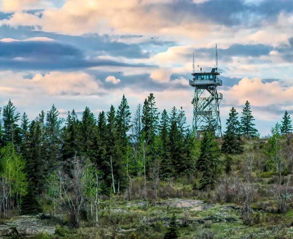
Handy reference points on the network include Lane Cove (about 2.7 miles), Three Mile (about 2.3 miles), Ojibway Tower (about 2.5 miles), and Rock Harbor (about 4.5 miles). They’re useful anchors if you’re stitching together a bigger day or a backpack.
Where it is
48.1271, -88.5681Tips for Mount Franklin
- 01Start early to beat both crowds and haze for the clearest views.
- 02Carry plenty of water and snacks—there’s none on the ridge.
- 03Expect exposure; bring layers, sun protection, and a windbreaker.
- 04Waterproof boots and trekking poles help on rocky, muddy sections.
- 05Mosquitoes can be intense after rain; pack repellent and long sleeves.
Amenities
Near Mount Franklin
All places →All trails →
1.3 mi awayLane Cove CampgroundSecluded lakeshore backcountry camp with big Lake Superior sunsetsRestroom · Campground
1.5 mi awayRock HarborIsland hub with lodge, permits, rentals, and easy Lake Superior viewsVisitor Center · Store
1.8 mi awayThree Mile CampgroundEasy first-night stop with lakefront shelters and a lively dockCampground · Restroom
1.8 mi awayMount Franklin TrailA steady climb to Isle Royale’s big north-facing Lake Superior vista.Moderate · 9.3 mi · 7 hr
1.9 mi awayBelle Isle CampgroundRemote boat-in campground with big Lake Superior viewsCampground · Restroom
2.7 mi awayEdisen Fishery–Rock Harbor Lighthouse TrailShort, boat-in stroll linking a historic fishery to a classic lighthouseEasy · 0.5 mi · 1 hr
2.7 mi awayMount Ojibway TrailSteady climb to a historic fire tower and big Lake Superior viewsModerate · 3.4 mi · 1.5 hr
2.7 mi awayMoskey Basin TrailCairn-marked shoreline walk to sunrise views and quiet camping.Moderate · 3.5 mi · 2.5 hr