Parking
There is no road or car park at Windigo. Arrive by passenger ferry, seaplane, or private boat; start at the Windigo Visitor Center and walk to the Washington Creek crossing and trail junction.

#4 of 39 trails in Isle Royale
Isle Royale National Park, MI
Rugged Windigo loop to a Lake Superior cove and old mine remains.
Overview
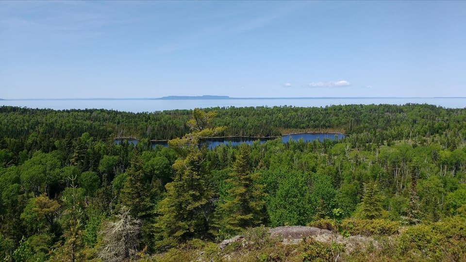
Huginnin Cove Loop is a strenuous 9.4-mile round trip from Windigo, out over the Minong Ridge country and wetlands to a Lake Superior cove, then back by the other Huginnin branch. It’s a great pick if you want a full day away from Windigo’s docks and buildings: the walk changes from forest and wet ground to rocky shoreline, and the cove is a lovely place to stop before turning back. It takes real effort and steady attention, though. The newer Windigo area guide gives 9.4 miles; an older park page still says 8.2. Plan for the longer figure. Allow four to eight hours; about six is a sensible plan with a break at the cove.
 Parkwolf’s verdictIs this the hike for you?
Map & elevation
Plan your hike

The highest, rockiest slopes around here are a summer buffet for grizzly bears.
Isle Royale Tour Guide
Parkwolf is a GPS audio tour guide for Isle Royale National Park. As you drive, it chimes in with what’s ahead: hidden gems, upcoming stops, history, geology, and wildlife, right through your car’s speakers.
Recorded for this area
Minong Ridge Overlook from Windigo“Coming up is the Windigo trail access for Minong Ridge Overlook. For a rugged half-day hike, it's six miles out and back, taking roughly four hours over rocks, roots and creek crossings.”
Plays on the road 0.8 mi from the trailhead in the Parkwolf Isle Royale Tour Guide.
More stories near here in the app
“Fantastic app with many points of information… It’s great to just turn on while you’re driving and it gives you an audio tour of the national Park. We love it!!!!”


Trail guide
From the Windigo area, cross the bridge over Washington Creek and follow the junction signs. The West Huginnin branch is the shorter way to the Cove; the East branch loops back toward Minong Ridge and Windigo. I’d go out on the West side and return on the East: you reach the water first, then pass the Wendigo exploration remains and get more of the rough, rocky shoreline on the way back. Both trails reach Huginnin Cove Campground, so you can reverse the direction if it suits your day. The full mileage includes the shared approach from Windigo and back, not just the two branches beyond the fork.
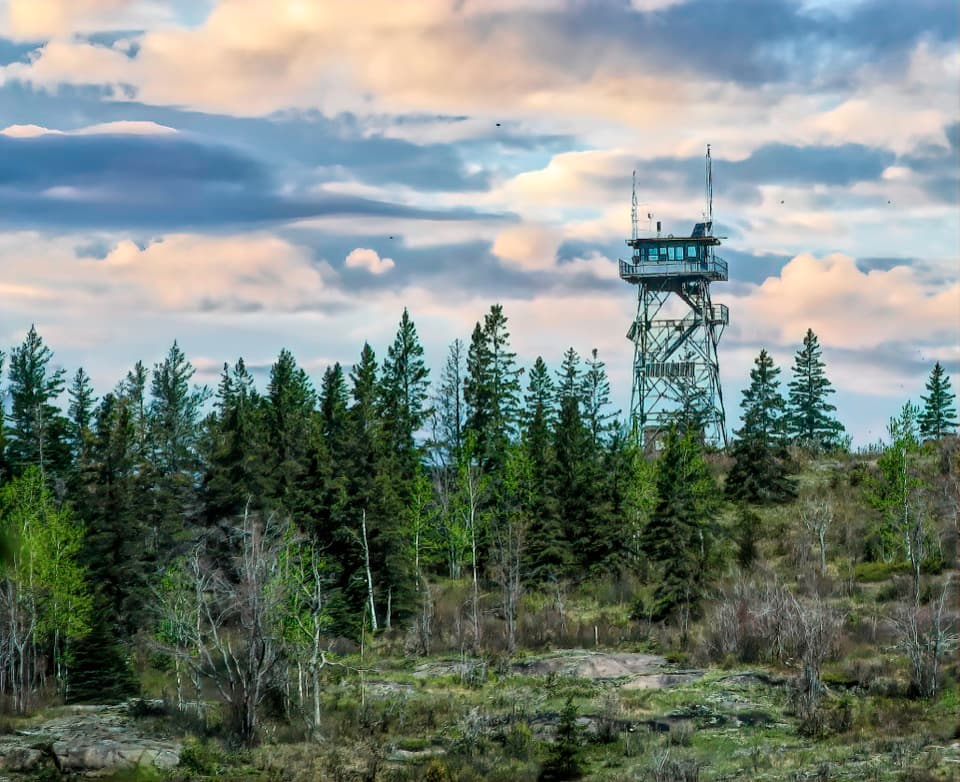
This isn’t a stroll along the lake. Expect rocks and roots, rolling ridges, damp cedar swamps, small wetlands and ponds, and sections where you’ll need to watch each step. The East side is especially rocky, with less forgiving footing near the north shore. Wet boardwalks can be slick. Trail conditions can change, so bring a map and compass and be comfortable navigating without relying on a phone. The park’s spring-to-fall season also shapes the trip: plan your island travel and the hike together, since reaching Windigo takes a boat or plane.
The East branch passes remains from the Wendigo copper exploration. The search began in 1890 and ended in 1892 without a producing mine; The company sank 16 deep drill holes and cut trenches, but found no copper. You’re walking through the leftovers of an ambitious search that never paid off, not a preserved working mine. Keep to the trail and leave the cabin fragments and metalwork where they are.
The route crosses ridges and low, wet ground in quick succession. Small ponds, swamp and wetland pockets are the best places to slow down and look for moose. You may also see signs of wildlife along Washington Creek and the shoreline, but there’s no guaranteed sighting. The contrast is part of the hike: one stretch feels enclosed by forest, the next opens across a boggy basin or along exposed rock.
Huginnin Cove is the payoff: a rocky Lake Superior shore with a broad view north toward Canada on a clear day. Give yourself time to sit by the water, then look back at the line of forested shore before you leave. The campground has five walk-in tent sites, seasonal composting toilets and non-potable water; there’s no dock at the cove. Day hikers do not need a camping permit, but an overnight stay requires a backcountry permit. Treat this as a remote stop, not a resupply point.
There’s no road parking at the trailhead. Start at the Windigo Visitor Center and walk to the Washington Creek crossing; visitors reach Windigo by passenger ferry, seaplane or private boat. The Washington Harbor Store is at the start, but don’t count on food or other services once you’ve left Windigo. Pack for a full day and check island transportation before you commit to the hike. Pets aren’t allowed on Isle Royale trails.
Wildlife
 308 sightingsMooseMost seen around 8 PMSighting map
 93 sightingsWolfMost seen around 8 PMSighting map
 77 sightingsBald EagleMost seen around 5 PMSighting map
 150 sightingsLoonMost seen around 7 AMSighting map
 24 sightingsTrumpeter SwanMost seen around 6 PMSighting map
 71 sightingsBeaverMost seen around 8 PMSighting map
Sighting maps show where each species has been reported across Isle Royale. Wildlife moves, so no sighting is guaranteed.
Keep exploring
 EasyWindigo Nature Trail1.2 mi · 1.5 hr · At the trailheadFerns, cedar lowlands, and maple-birch woods on a short loop.
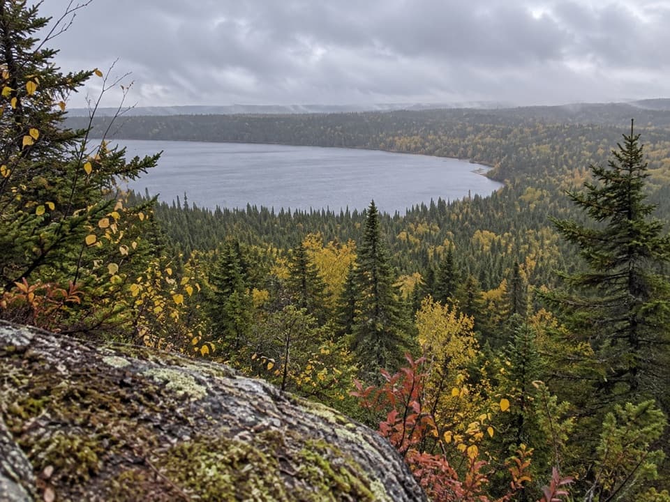 ChallengingFeldtmann Loop30.1 mi · 1.3 days · 0.1 mi awayFour to five days of ridge, shore, and old mine history.
 ModerateGrace Creek Overlook Trail3.6 mi · 3 hr · 0.1 mi awayA rocky ridge above Grace Harbor, reached by a wooded shoreline hike.
 ModerateFeldtmann Lake Trail8.5 mi · 6 hr · 0.1 mi awayAn 8.5-mile traverse from Windigo to Feldtmann Lake.
 EasyWashington Creek Trail2.8 mi · 1.5 hr · 0.3 mi awayHarbor views lead to a wooded creek and its narrow bridge.
 ChallengingGreenstone Ridge Trail40 mi · 1.7 days · 0.6 mi awayA remote, one-way ridge crossing through Isle Royale's forested interior.
 ModerateWest Huginnin Cove Trail6.2 mi · 4 hr · 0.8 mi awayA ridge walk to a rocky cove on Lake Superior.
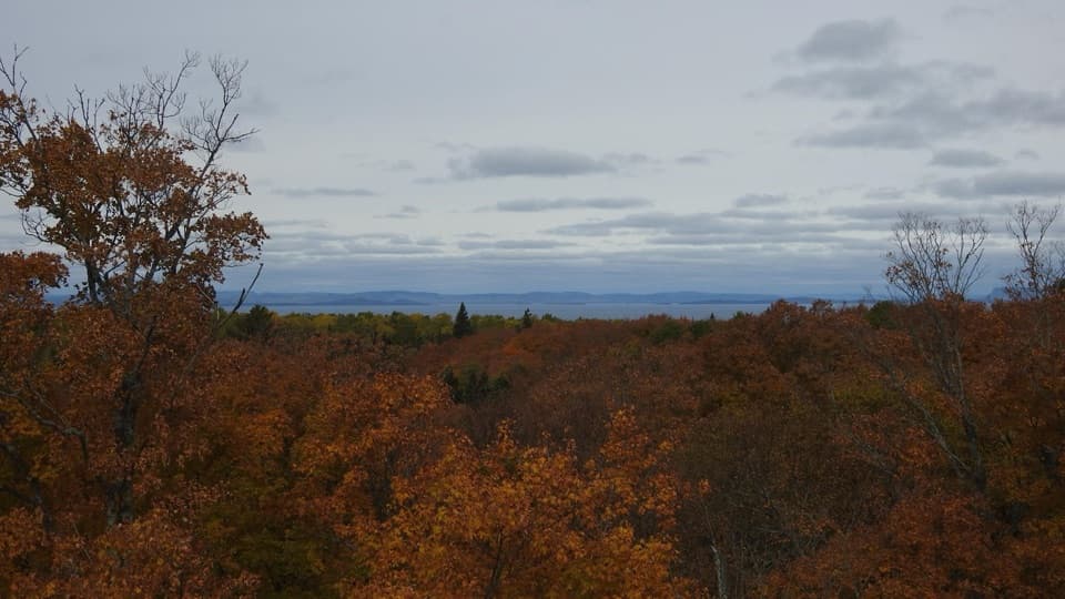 ChallengingMinong Ridge Overlook Trail6 mi · 4 hr · 0.8 mi awayA rocky ridge opens onto Pie Island and the Canadian shore.
 Visitor center · At the trailheadWindigo Visitor CenterA Rock of Ages lighthouse lens is on display inside.
 Restroom · At the trailheadWindigo Comfort StationA practical Windigo stop for showers and laundry.
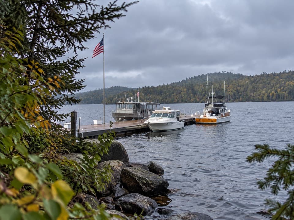 Sight · At the trailheadWindigo MarinaA practical west-end landing for boaters and ferry arrivals.
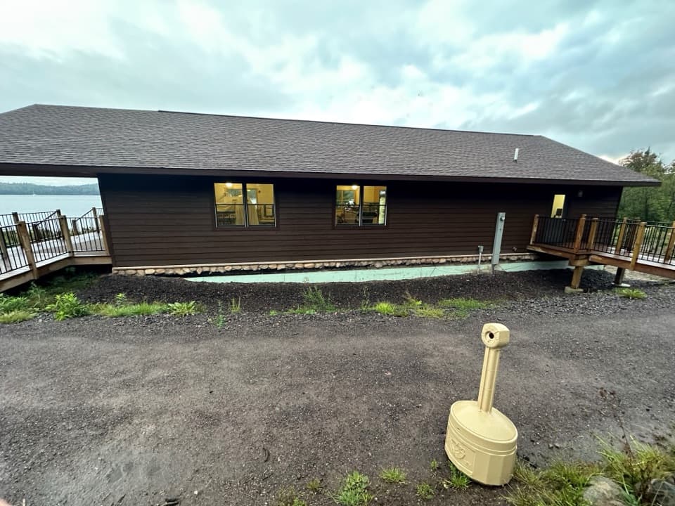 Store · At the trailheadWashington Harbor StoreA handy Windigo resupply stop for groceries and camp basics.
 Lodging · At the trailheadWindigo Camper CabinsTwo rustic island cabins, a short walk uphill from the dock.
 Campground · 0.3 mi awayWashington Creek CampgroundCreekside shelters, with moose sometimes feeding nearby.
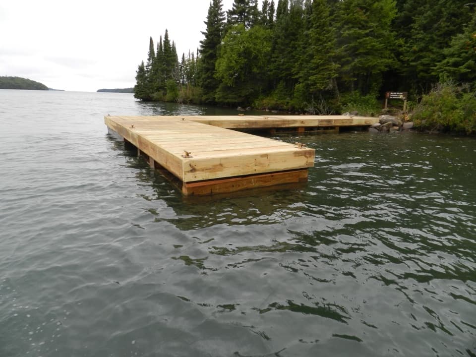 Campground · 1 mi awayBeaver Island CampgroundThree water-facing shelters make this a small harbor base.
 Sight · 1.6 mi awayGrace Creek OverlookA rocky spur leads to a ledge above Grace Creek.
Parkwolf’s Isle Royale ranking
The audio tour guide for the drive, plus offline maps, trails, and wildlife heatmaps for when the signal drops.