Tobin–Duncan Portage Trail in Isle Royale National Park

Isle Royale National Park, MI

Tobin–Duncan Portage Trail

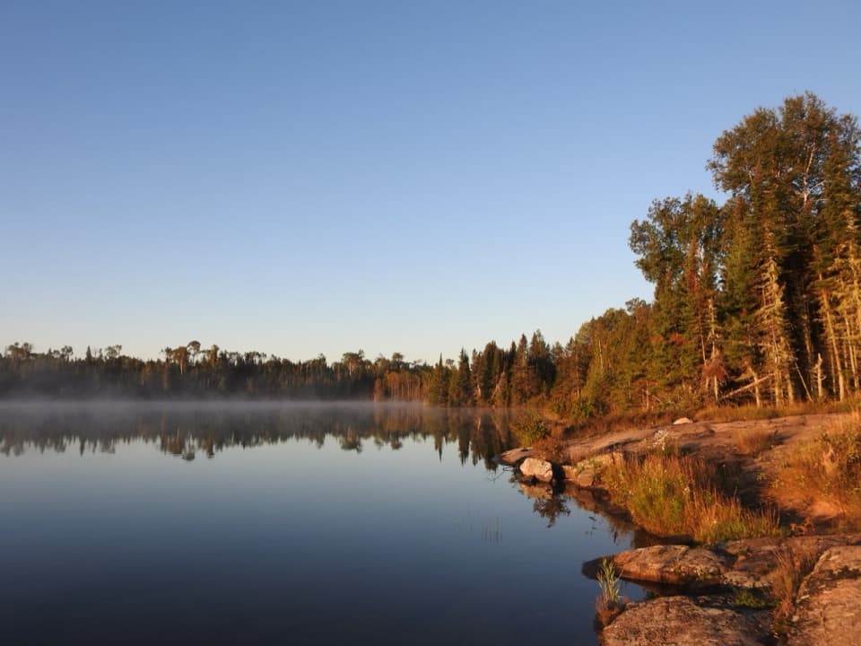
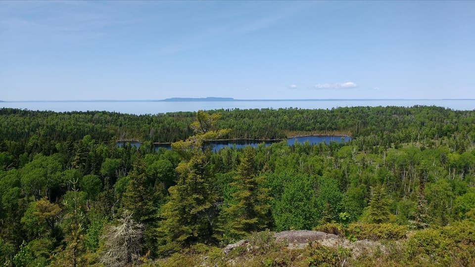
A steep, boat-accessed crossing over Greenstone Ridge.

Photo: Wikimedia Commons
Length
1.6mi
Time
1.5hr
Elev. change
190ft
Difficulty
Moderate
  • No dogs
  • High point 784 ft

Hear the audio tour

Rock Harbor Lodge and Scoville Point

Overview

About Tobin–Duncan Portage Trail

Why go

  • A short crossing reaches Greenstone Ridge
  • A direct link between Tobin Harbor and Duncan Bay

Heads up

  • Extremely steep on both sides of the ridge
  • Boat access only; retrace the crossing to your vessel

Map & elevation

The route

Loading the Isle Royale map
Full map
Elevation594–784 ft
TrailheadTobin/Duncan Portage marker (Tobin Harbor side)48.14910, -88.49595
Keep this map with you offline in the Parkwolf app

Plan your hike

Before you go

Parking

Access the portage by water, not from a road parking area. From Tobin Harbor Dock, paddle across the harbor to locate the Tobin/Duncan Portage marker; the mapped marker point is approximate, so use the marker on the ground. Boat travel is separate from the 1.6-mile walk.

Safety

The crossing is rated extremely steep, and the climb repeats on the return. NPS says trails can be slippery when wet. Isle Royale prohibits pets; service dogs require a park permit before the trip.

8 active Isle Royale alerts

  • ClosureSeasonal park closure begins November 1Isle Royale closes to public use November 1–April 15 because extreme winter weather threatens visitor safety; the closure extends 4.5 miles into Lake Superior from the island.Official details
  • ClosureCamping closures at east-end campgrounds and Zone 9Camping restrictions are in effect at four east-end campgrounds and Off-trail Camping Zones 9–13 and 30–38 because of increased human-wildlife interactions and food-storage concerns.Official details
See all 8 alerts
A park ranger sits on a dash-mounted phone, talking, as Parkwolf’s Tour Guide plays “Army Cutworm Moths: A Grizzly Bear Buffet” on Grand Loop Road below Dunraven Pass in Yellowstone
Parkwolf Tour GuideThe highest, rockiest slopes around here are a summer buffet for grizzly bears.

Isle Royale Tour Guide

Your drive to Tobin–Duncan Portage Trail, narrated.

Parkwolf is a GPS audio tour guide for Isle Royale National Park. As you drive, it chimes in with what’s ahead: hidden gems, upcoming stops, history, geology, and wildlife, right through your car’s speakers.

Recorded for this area

Rock Harbor Lodge and Scoville Point
0:00 / 0:34
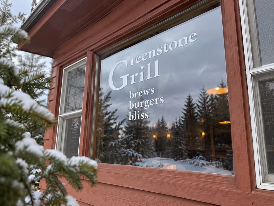
“You're approaching Rock Harbor Lodge, a useful stop for a hot meal even if you're not staying overnight. Greenstone Grill serves pizza, burgers and sandwiches, with a deck overlooking the harbor.”

Plays on the road 0.6 mi from the trailhead in the Parkwolf Isle Royale Tour Guide.

More stories near here in the app

  • Built for the Dive
  • Skiing for Science
  • Copper Before the Mine Shafts
  • The Fish That Changed the Catch
  • 17 audio storiesacross Isle Royale’s roads, triggered by GPS as you drive
  • Wildlife heatmapsfor Moose, Wolf, Bald Eagle, and 13 more
  • Works offlinemaps, 39 trails, 83 places, and audio download before you lose signal
  • CarPlay readysimple controls built for the drive
★★★★★
“Fantastic app with many points of information… It’s great to just turn on while you’re driving and it gives you an audio tour of the national Park. We love it!!!!”
JMJamesApp Store review
Download Parkwolf on the App StoreGet Parkwolf on Google Play

4.7 from 8,600+ ratings

Trail guide

Hiking Tobin–Duncan Portage Trail

The crossingTobin–Duncan Portage is a 1.

Tobin–Duncan Portage is a 1.6-mile out-and-back over Greenstone Ridge between Tobin Harbor and Duncan Bay. Paddle to the Tobin Harbor portage marker, climb steeply to the ridge, descend to Duncan Bay, then retrace the same path to your vessel. The park map’s 0.8 mile is one way; its 175-foot gain describes the crossing, and you climb over the ridge again on the return.

This is a short walk with a serious grade, not a casual shoreline stroll. Allow about 1½ hours on foot, plus the separate paddle to and from the marker. That time is a practical estimate; the park gives no walking time.

Getting to the startAccess the portage by water, not from a road parking area.

Access the portage by water, not from a road parking area. From Tobin Harbor Dock, paddle directly across Tobin Harbor to find the Tobin/Duncan Portage marker. The mapped marker point is approximate, so use the on-the-ground portage marker. The hike ends at Duncan Bay, but this outing turns back to the boat rather than continuing to another road or dock.

Bring water and rain gear, as the park advises for day hikes here. Paddle time is not included in the hiking distance or estimate.

Steep footing and rulesThe park map rates this crossing extremely steep.

The park map rates this crossing extremely steep. The hard part is climbing to the ridge, descending toward Duncan Bay, and doing that climb again on the way back. Trails can be slippery when wet, so rain can make the short route feel more demanding.

Pets are not allowed on Isle Royale. Service dogs require a park permit arranged before the trip.

Wildlife

Wildlife in Isle Royale

All Isle Royale wildlife maps

Sighting maps show where each species has been reported across Isle Royale. Wildlife moves, so no sighting is guaranteed.

Keep exploring

Near Tobin–Duncan Portage Trail

See it all on the map

Trails that start nearby

Places near the trailhead

Parkwolf’s Isle Royale ranking

Top-rated trails in Isle Royale

All 39 trails
  1. 1Scoville Point LoopModerate · 4.2 mi
  2. 2Greenstone Ridge TrailChallenging · 40 mi
  3. 3Mount Franklin TrailModerate · 2.3 mi
  4. 4Huginnin Cove LoopChallenging · 9.4 mi
  5. 5Lookout Louise TrailModerate · 2 mi
  6. 6Minong Ridge TrailChallenging · 28 mi

Take Parkwolf to Isle Royale.

The audio tour guide for the drive, plus offline maps, trails, and wildlife heatmaps for when the signal drops.

4.7 from 8,600+ ratings

Download Parkwolf on the App StoreGet Parkwolf on Google Play