Moderate

Mount Franklin Trail

A steady climb to Isle Royale’s big north-facing Lake Superior vista.
Mount Franklin Trail, Isle Royale National Park
Distance9.3 mi
Typical time7 hr
DifficultyModerate
PetsNot allowed

Overview

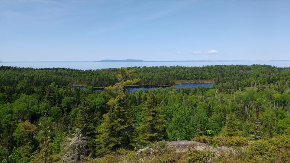
Mount Franklin is a rocky bluff on the Greenstone Ridge with sweeping, north-facing views across Lake Superior to the Canadian mainland. The approach is a steady, occasionally steep climb on narrow tread with rocks, roots, and some overgrowth. It’s a classic Isle Royale day hike for those based near Rock Harbor who want ridge-top panoramas without committing to a multi-day traverse.

Distance and Route Options

Expect roughly 2–2.5 miles one way for the Mount Franklin connector segment itself (to the ridge and overlook). Many hikers combine it with the Rock Harbor Trail or Tobin Harbor Trail for a bigger outing of about 9–10 miles total out-and-back from Rock Harbor. Elevation gain runs in the 600–700 foot range depending on your starting point. Timewise, plan 2–3 hours for the short out-and-back on the connector, and a full day (6–8 hours) if you’re doing the longer Rock Harbor day hike.

What You’ll See

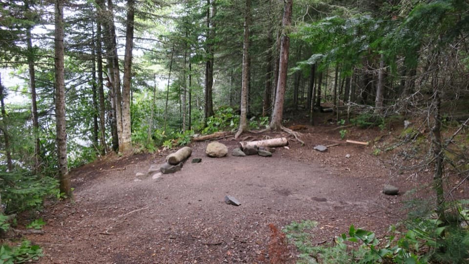
After leaving the shoreline corridor, the trail climbs through dense conifer forest and occasional open glades as it works toward the Greenstone. Some stretches feel downright magical—tight, mossy, and quiet—before breaking onto bedrock near the top. The final approach includes exposed rock and a dramatic bedrock pitch leading to the overlook. From the bluff (around 1,080 feet), you’ll get wide-open vistas: Isle Royale’s interior ridges roll away beneath you, with Lake Superior and the distant Canadian shore beyond.

Trail Feel and Crowd Level

Footing is uneven: rocks, roots, and narrow tread about a foot-and-a-half wide in places. It can be slick when wet and brushy in late summer. Compared to the coastal paths, this route often feels quieter and more remote—an appealing trade if you prefer ridgeline solitude over shoreline bustle.

Access and Connections

You can reach Mount Franklin from Rock Harbor via the Rock Harbor Trail or the Tobin Harbor Trail; there’s a signed junction with the Mount Franklin segment near the island’s east side. Three Mile Campground is another common starting point. Many hikers use this trail as an “on-ramp” to the Greenstone Ridge for longer day loops or backpacking itineraries.

Best Time to Hike

Summer through early fall offers the most reliable footing and services. Clear days are best for the long views; mornings often bring the calmest air and softer light. Late spring and early fall can mean fewer bugs and fewer people, though spring can be muddy and overgrown in places.

Tips, Safety, and Etiquette

Wear sturdy boots—the ridge rock gets slick, and roots are everywhere. Carry enough water; there are no reliable sources on the ridge. Navigation is straightforward but can feel committing—bring a map and compass, especially if you’re linking trails. Follow camping and fire regulations: camp only where allowed, and use provided metal rings/grills where fires are permitted. Wildlife is part of the experience here—give moose and foxes ample space.

Natural and Human History Notes

Despite the name, Mount Franklin is a prominent bluff along the island’s volcanic Greenstone Ridge rather than a standalone peak. The overlook honors Benjamin Franklin. Look for ridge-top vegetation clinging to the bedrock and the contrast between shaded fir–spruce forest and sunlit, open rock near the top.

Pros

  • Quieter than the shoreline routes despite being a marquee viewpoint
  • Direct connection to the Greenstone Ridge for easy loop or thru-hike options
  • Big north-facing vistas toward Canada from a dramatic bedrock overlook

Cons

  • Brushy, narrow stretches can hide slick roots and rocks
  • No reliable water on the ridge—carry everything you need
  • Becomes a long day if starting and returning from Rock Harbor

Parking

No road access; begin from Rock Harbor or Three Mile trail junctions.

Caution

Uneven, rocky, rooty tread that’s slick when wet; sections can be overgrown. Carry a map and compass, bring sufficient water, and follow camping and fire regulations. Stay on established trails to protect fragile ridge-top environments.

The Parkwolf tour guide sitting on a phone mounted in a car

Parkwolf Tour Guide

Like a tour guide in your car.

Bring Isle Royale trail research into the car, with offline maps and stories that play as you drive.Download Parkwolf on the App Store