Parking
Siskiwit Bay Dock is reached by water; Isle Royale has no roads or vehicle parking. Start at the dock and plan your boat connection and onward or return route before you go.
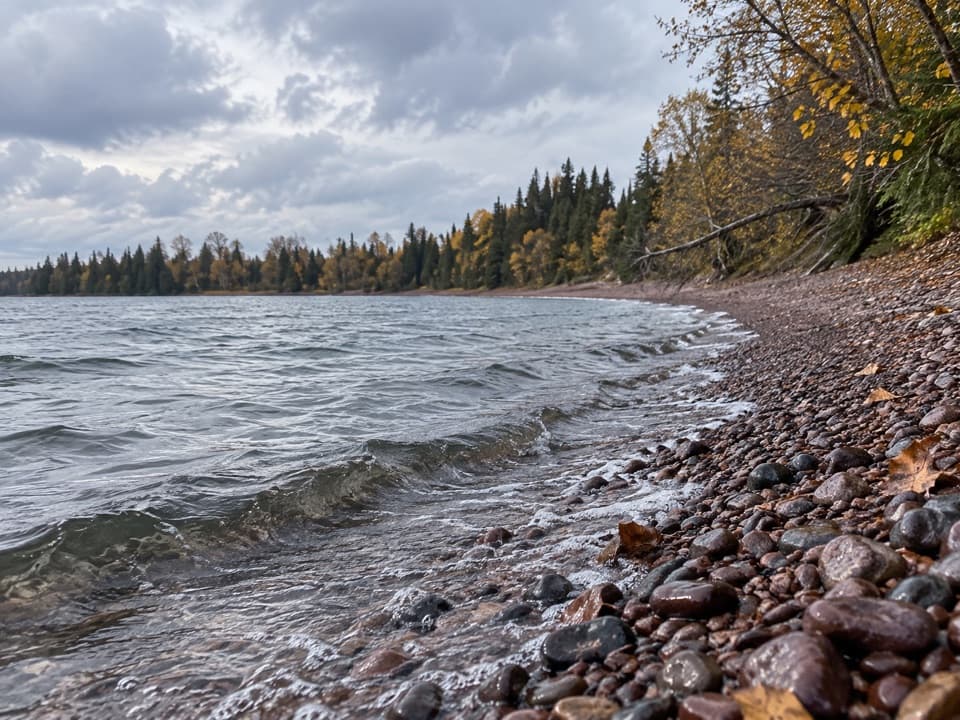
Isle Royale National Park, MI
A rocky one-way link from Siskiwit Bay to the Island Mine junction.
Overview
Map & elevation
Plan your hike

The highest, rockiest slopes around here are a summer buffet for grizzly bears.
Isle Royale Tour Guide
Parkwolf is a GPS audio tour guide for Isle Royale National Park. As you drive, it chimes in with what’s ahead: hidden gems, upcoming stops, history, geology, and wildlife, right through your car’s speakers.
“Fantastic app with many points of information… It’s great to just turn on while you’re driving and it gives you an audio tour of the national Park. We love it!!!!”


Trail guide
Island Mine Trail is a one-way, about 4.9-mile walk from Siskiwit Bay Dock to the Greenstone Ridge junction by Island Mine. That total includes the dock access and the approach to the river bridge; the park’s trail page lists about 4.3 miles, so use 4.9 for the full dock-to-junction route. Allow about 3 to 4 hours on foot, longer with a loaded pack or a stop at the ruins. This is a Feldtmann Loop connector, not a loop by itself, so plan your return or onward route before leaving the dock.
The route crosses Big Siskiwit River on a large bridge, then follows Lake Superior shore. Beaver activity often washes out the tread, so this stretch can mean walking over loose cobbles on the beach. You cross Senter Point, follow Carnelian Beach, then turn inland. After the shore, expect narrow trail with rocks and roots and repeated ups and downs. The beach is the last water-treatment opportunity before the inland section; treat any water you collect.
The inland trail passes an old well and the rubble of Island Mine. Look behind a stack of rocks in the woods for an old steam engine; leave the remains in place. Island Mine Campground is about half a mile from the junction if that is your overnight stop. Overnight stays require a park permit, pets aren’t allowed, and the island has no roads or cars.
Wildlife
 308 sightingsMooseMost seen around 8 PMSighting map
 93 sightingsWolfMost seen around 8 PMSighting map
 77 sightingsBald EagleMost seen around 5 PMSighting map
 150 sightingsLoonMost seen around 7 AMSighting map
 24 sightingsTrumpeter SwanMost seen around 6 PMSighting map
 71 sightingsBeaverMost seen around 8 PMSighting map
Sighting maps show where each species has been reported across Isle Royale. Wildlife moves, so no sighting is guaranteed.
Keep exploring
 ModerateEast Huginnin Cove Trail3.3 mi · 2.5 hr · 7.2 mi awayMine ruins, rocky bluffs, and a cove at Lake Superior’s edge.
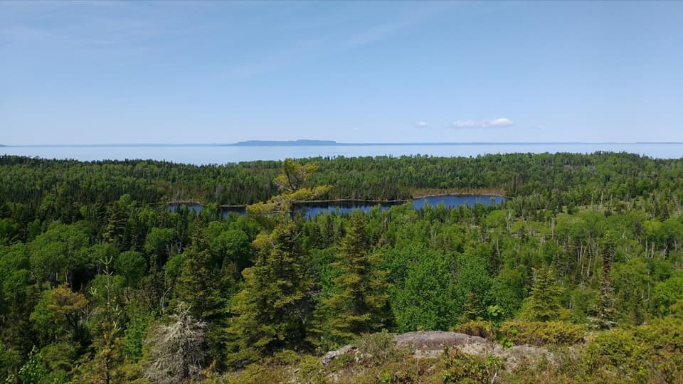 ChallengingMinong Ridge Trail28 mi · 1.3 days · 7.2 mi awayA tough, remote ridge traverse with views over Superior and Canada.
 ChallengingGreenstone Ridge Trail40 mi · 1.7 days · 7.2 mi awayA remote, one-way ridge crossing through Isle Royale's forested interior.
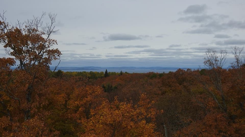 ChallengingMinong Ridge Overlook Trail6 mi · 4 hr · 7.3 mi awayA rocky ridge opens onto Pie Island and the Canadian shore.
 ModerateWest Huginnin Cove Trail6.2 mi · 4 hr · 7.3 mi awayA ridge walk to a rocky cove on Lake Superior.ChallengingHuginnin Cove Loop9.4 mi · 6 hr · 7.5 mi awayRugged Windigo loop to a Lake Superior cove and old mine remains.
 EasyWindigo Nature Trail1.2 mi · 1.5 hr · 7.5 mi awayFerns, cedar lowlands, and maple-birch woods on a short loop.
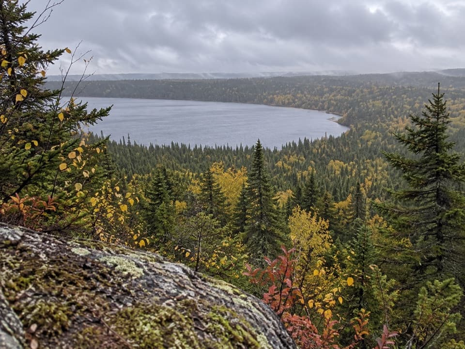 ChallengingFeldtmann Loop30.1 mi · 1.3 days · 7.5 mi awayFour to five days of ridge, shore, and old mine history.
 Campground · 0.1 mi awaySiskiwit Bay CampgroundNine remote sites bring the bay, its dock, and its sunsets close.
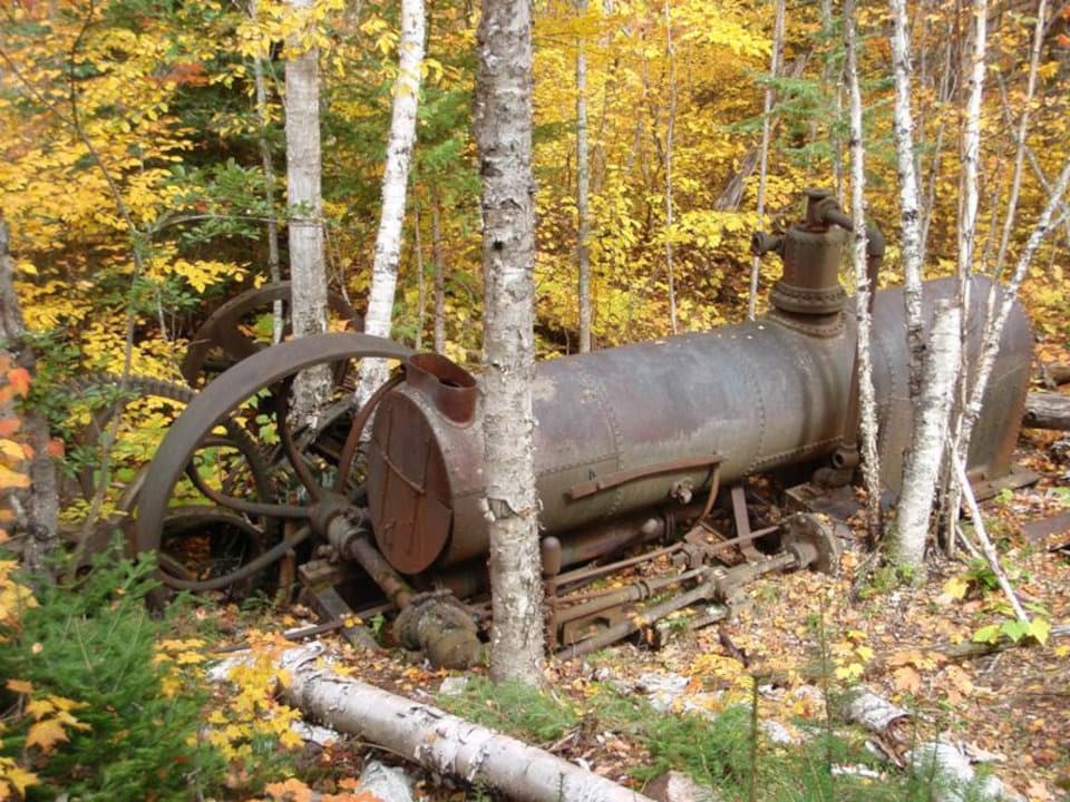 Sight · 2.8 mi awayIsland MineA rusted engine and rock piles make a brief mining-era pause.
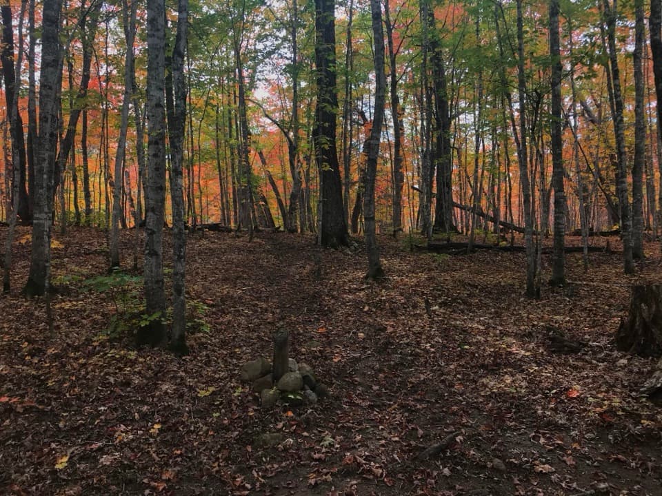 Campground · 3.4 mi awayIsland Mine CampgroundA quiet woods camp, but don't count on the creek for water.
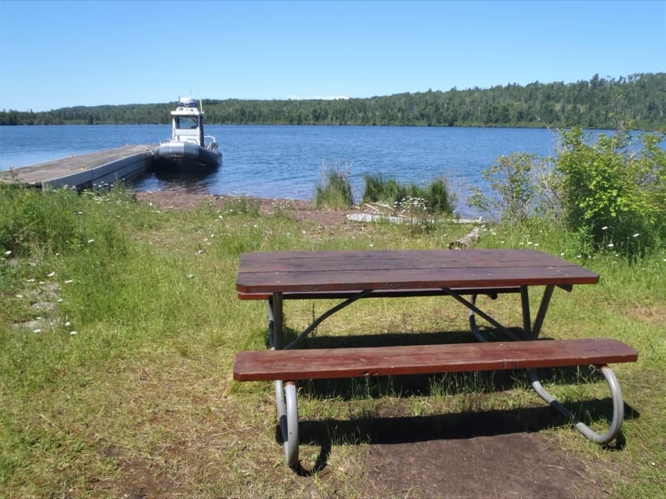 Campground · 4 mi awayHay Bay CampgroundA one-site boat-in camp with an overnight dock.
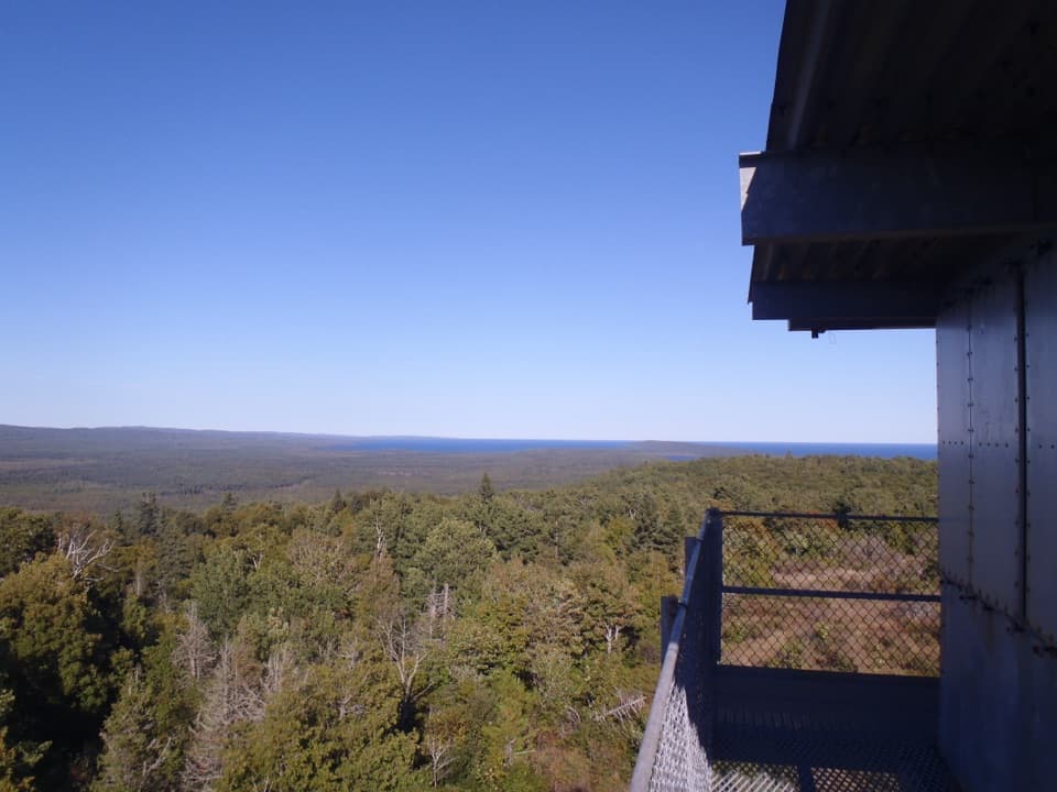 Sight · 4.8 mi awayFeldtmann TowerA former lookout tower with a 360-degree west-end view.
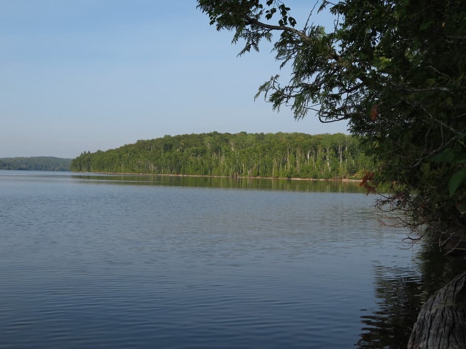 Campground · 5.7 mi awaySouth Lake Desor CampgroundBackcountry nights, loon calls, and sunset on Lake Desor.
 Campground · 6.3 mi awayNorth Desor CampgroundThree hike-in sites on Lake Desor’s rocky north shore.Sight · 6.9 mi awayMinong Ridge OverlookA rocky ridge above Lake Superior, reached by a demanding hike.
Parkwolf’s Isle Royale ranking

The audio tour guide for the drive, plus offline maps, trails, and wildlife heatmaps for when the signal drops.


