Parking
No road access or roadside parking serves this island trail. From Windigo, follow Washington Creek and Minong Ridge trails about 2 miles to the East Huginnin junction.

Isle Royale National Park, MI
Mine ruins, rocky bluffs, and a cove at Lake Superior’s edge.
Overview
Map & elevation
Plan your hike

The highest, rockiest slopes around here are a summer buffet for grizzly bears.
Isle Royale Tour Guide
Parkwolf is a GPS audio tour guide for Isle Royale National Park. As you drive, it chimes in with what’s ahead: hidden gems, upcoming stops, history, geology, and wildlife, right through your car’s speakers.
Recorded for this area
Lanterns on the Toboggan Run“Windigo's mining past included a toboggan run lit by lanterns.”
Plays on the road 0.5 mi from the trailhead in the Parkwolf Isle Royale Tour Guide.
More stories near here in the app
“Fantastic app with many points of information… It’s great to just turn on while you’re driving and it gives you an audio tour of the national Park. We love it!!!!”


Trail guide
East Huginnin is a 3.3-mile, one-way route from the Minong Ridge junction to Huginnin Cove. Allow about 2.5 hours for this segment; rough footing and rolling climbs make it slower than the mileage suggests. From Windigo, reach the junction via Washington Creek and Minong Ridge, about 2 miles of additional approach. The route is point-to-point: at the cove, West Huginnin returns toward Windigo as the full loop. Full-loop descriptions differ, from about 8.2 to 9.1 miles, so check the park map for the route you plan to hike.
This is an island trail with no road access or roadside parking. Plan the Windigo approach and your return before starting. Rocks and roots make the tread uneven, and plank crossings can be slippery when wet. The park advises carrying a map and compass and having navigation skills because trail conditions change. Pets are prohibited; service dogs require an advance permit. Huginnin Cove is a primitive campground; overnight groups of 7–10 need a permitted itinerary and group campsites.
Early plank crossings lead through forest and damp low ground to remnants of the Wendigo Mine exploration site. Farther on, more planks and a rocky descent lead toward a pond. The route rolls over Minong Ridge with short climbs, rocky outcrops and head-high vegetation. Moose may forage near ponds and streams, but a sighting is never predictable.
Near the north shore, the trail reaches rocky bluffs with views over Lake Superior; Canada may appear across the water on a clear day. The route ends at a cobble beach beside the campground. The rocky points make a useful foreground if you want the water and far shore in the same photo.
Wildlife
 308 sightingsMooseMost seen around 8 PMSighting map
 93 sightingsWolfMost seen around 8 PMSighting map
 77 sightingsBald EagleMost seen around 5 PMSighting map
 150 sightingsLoonMost seen around 7 AMSighting map
 24 sightingsTrumpeter SwanMost seen around 6 PMSighting map
 71 sightingsBeaverMost seen around 8 PMSighting map
Sighting maps show where each species has been reported across Isle Royale. Wildlife moves, so no sighting is guaranteed.
Keep exploring
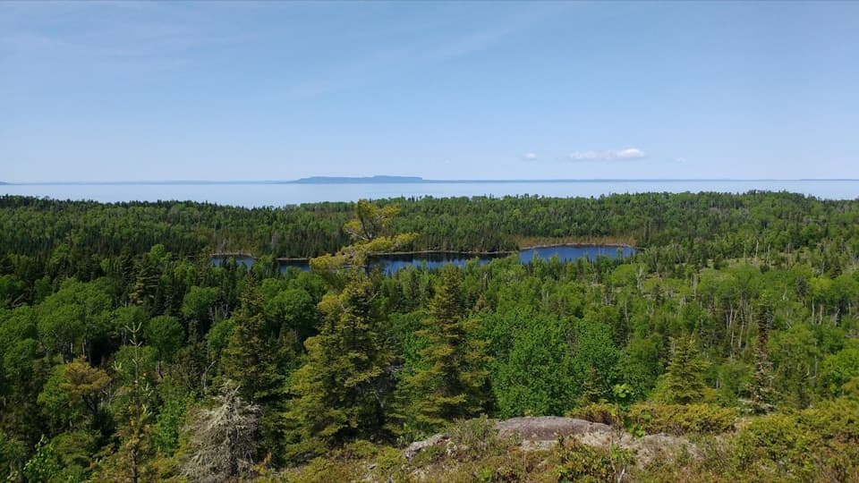 ChallengingMinong Ridge Trail28 mi · 1.3 days · At the trailheadA tough, remote ridge traverse with views over Superior and Canada.
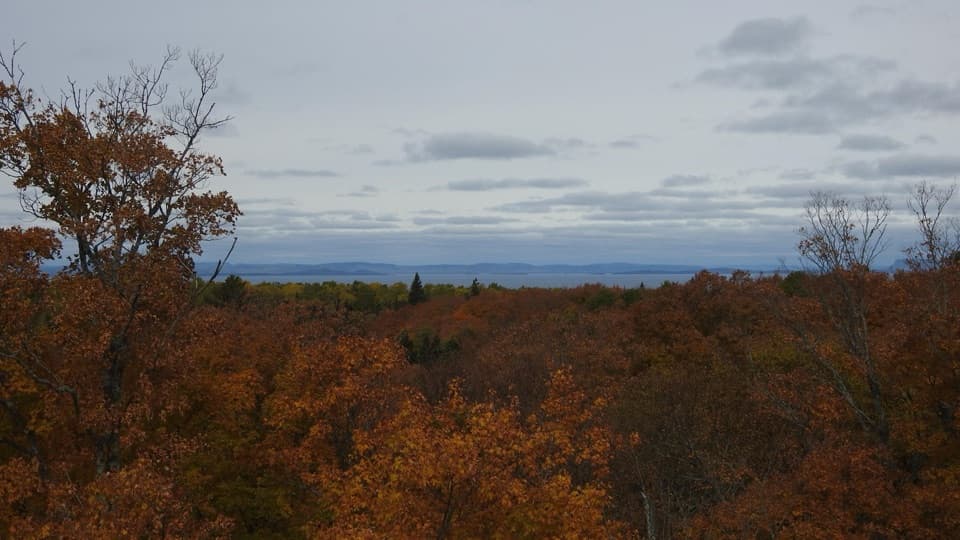 ChallengingMinong Ridge Overlook Trail6 mi · 4 hr · 0.5 mi awayA rocky ridge opens onto Pie Island and the Canadian shore.
 ModerateWest Huginnin Cove Trail6.2 mi · 4 hr · 0.6 mi awayA ridge walk to a rocky cove on Lake Superior.
 ChallengingGreenstone Ridge Trail40 mi · 1.7 days · 0.8 mi awayA remote, one-way ridge crossing through Isle Royale's forested interior.
 EasyWindigo Nature Trail1.2 mi · 1.5 hr · 1.3 mi awayFerns, cedar lowlands, and maple-birch woods on a short loop.ChallengingHuginnin Cove Loop9.4 mi · 6 hr · 1.3 mi awayRugged Windigo loop to a Lake Superior cove and old mine remains.
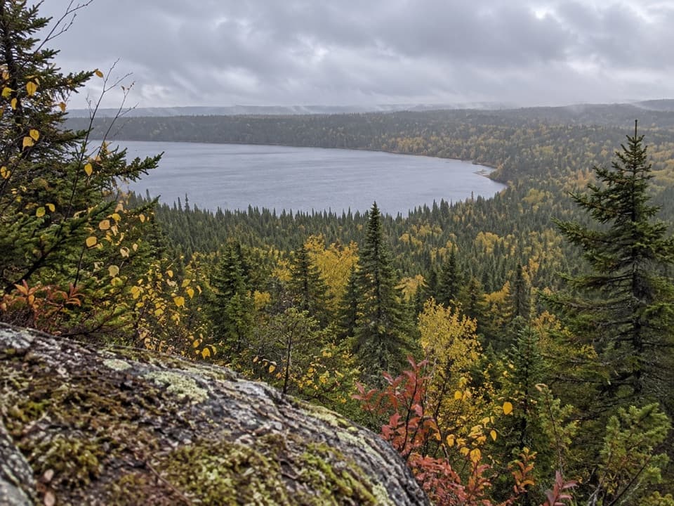 ChallengingFeldtmann Loop30.1 mi · 1.3 days · 1.4 mi awayFour to five days of ridge, shore, and old mine history.
 ModerateGrace Creek Overlook Trail3.6 mi · 3 hr · 1.4 mi awayA rocky ridge above Grace Harbor, reached by a wooded shoreline hike.
 Campground · 1 mi awayWashington Creek CampgroundCreekside shelters, with moose sometimes feeding nearby.Sight · 1.2 mi awayMinong Ridge OverlookA rocky ridge above Lake Superior, reached by a demanding hike.
 Restroom · 1.3 mi awayWindigo Comfort StationA practical Windigo stop for showers and laundry.
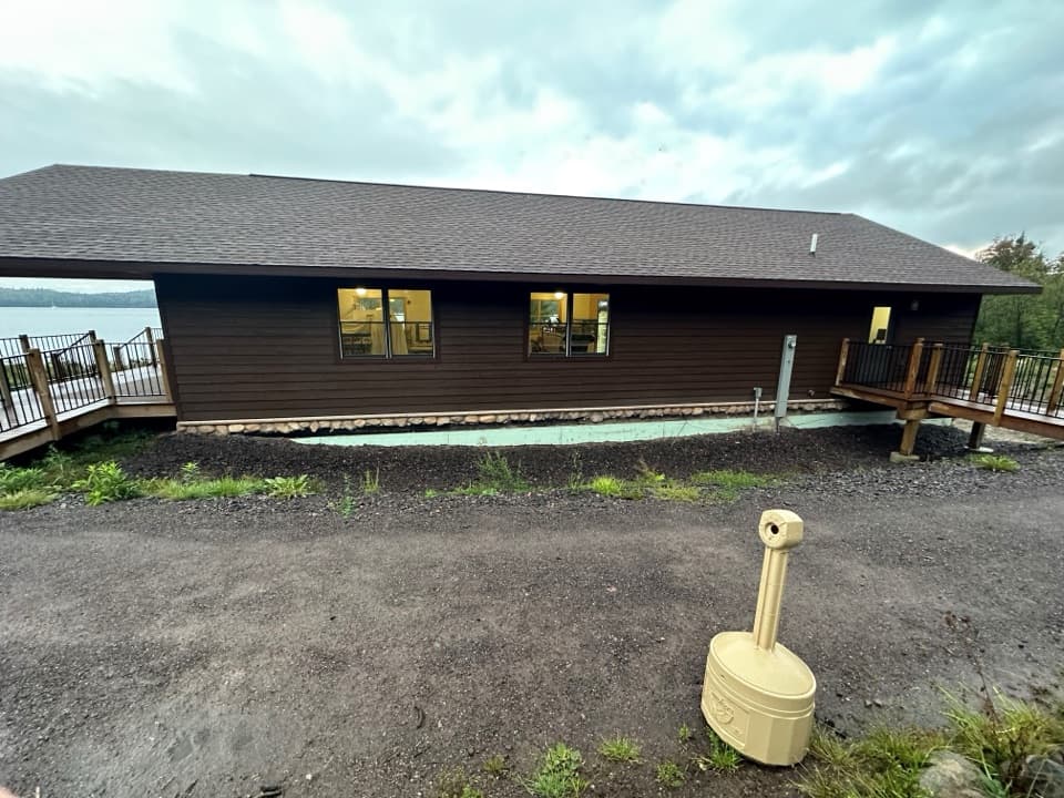 Store · 1.3 mi awayWashington Harbor StoreA handy Windigo resupply stop for groceries and camp basics.
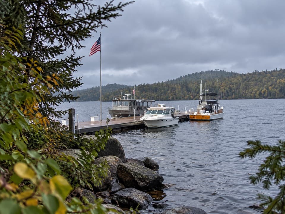 Sight · 1.3 mi awayWindigo MarinaA practical west-end landing for boaters and ferry arrivals.
 Visitor center · 1.3 mi awayWindigo Visitor CenterA Rock of Ages lighthouse lens is on display inside.
 Lodging · 1.3 mi awayWindigo Camper CabinsTwo rustic island cabins, a short walk uphill from the dock.Campground · 1.6 mi awayHuginnin Cove CampgroundFive tent sites on Lake Superior, reached by foot or paddle.
Parkwolf’s Isle Royale ranking

The audio tour guide for the drive, plus offline maps, trails, and wildlife heatmaps for when the signal drops.


