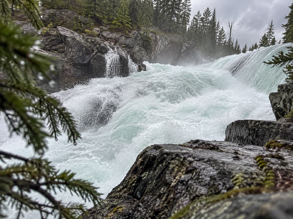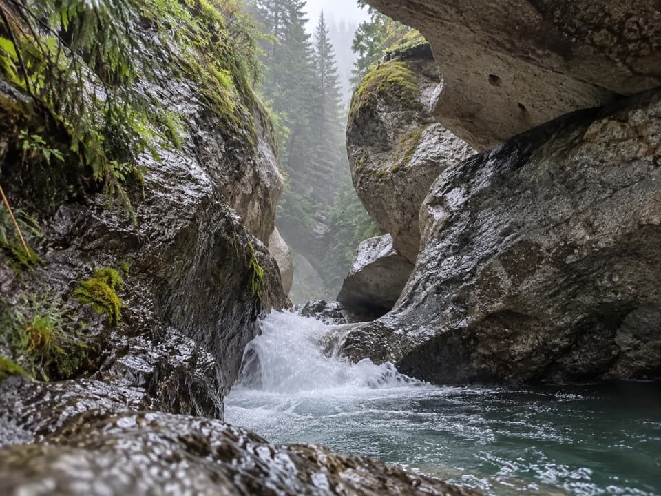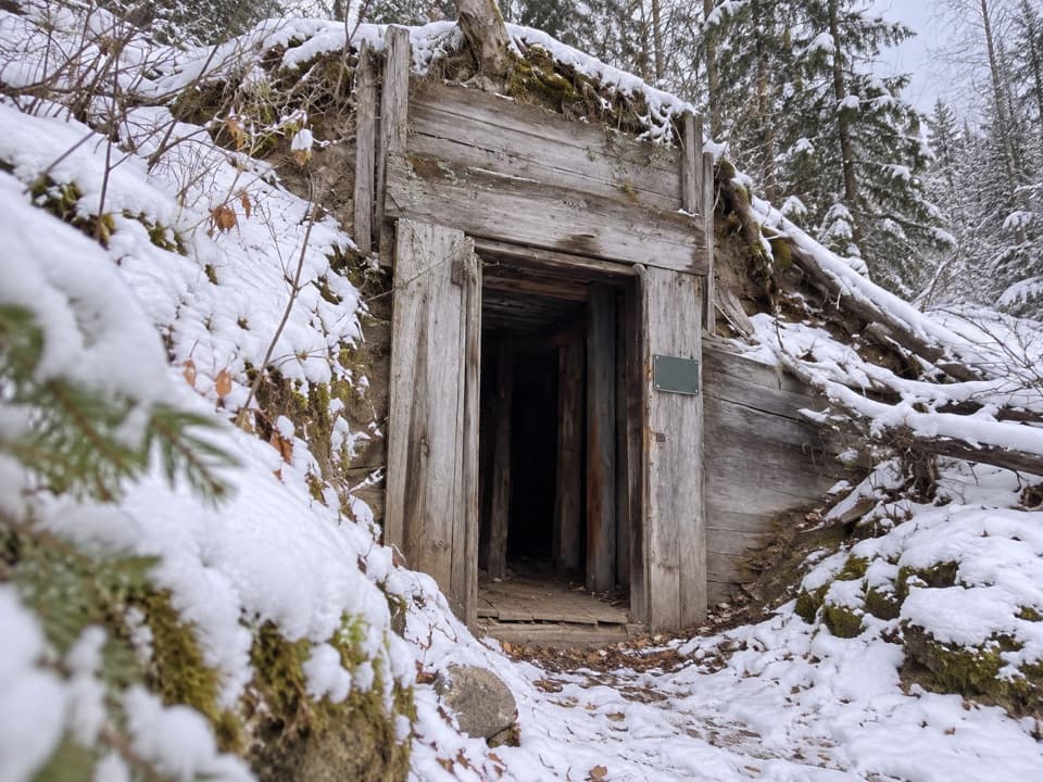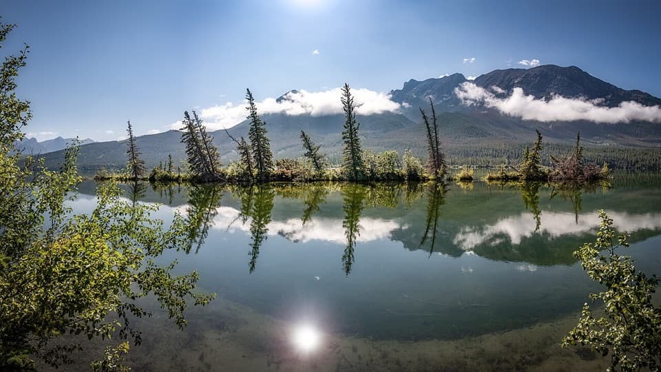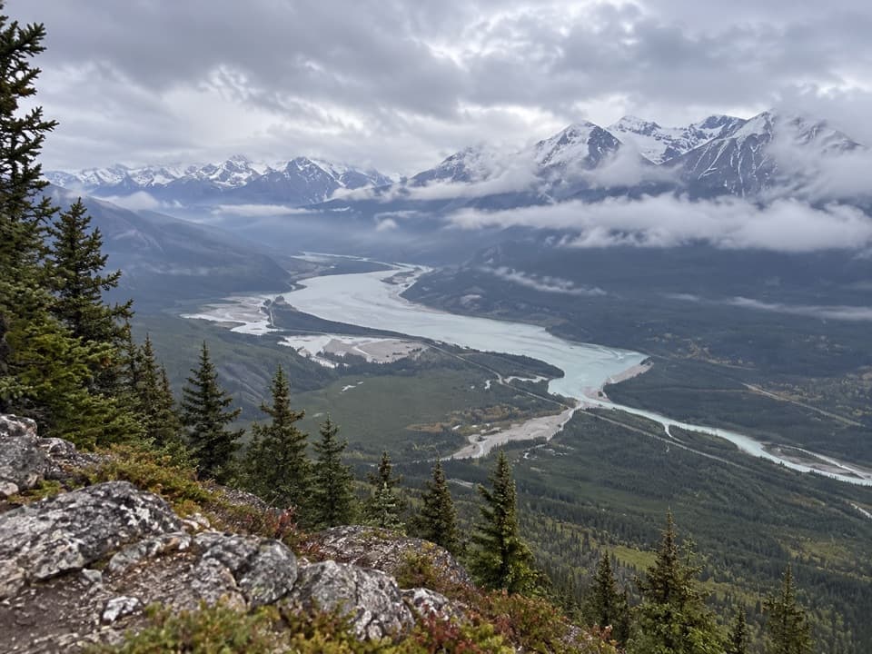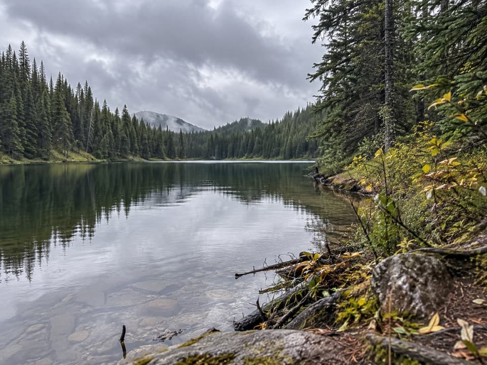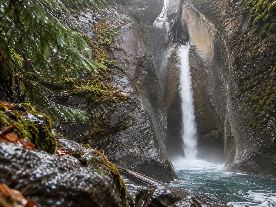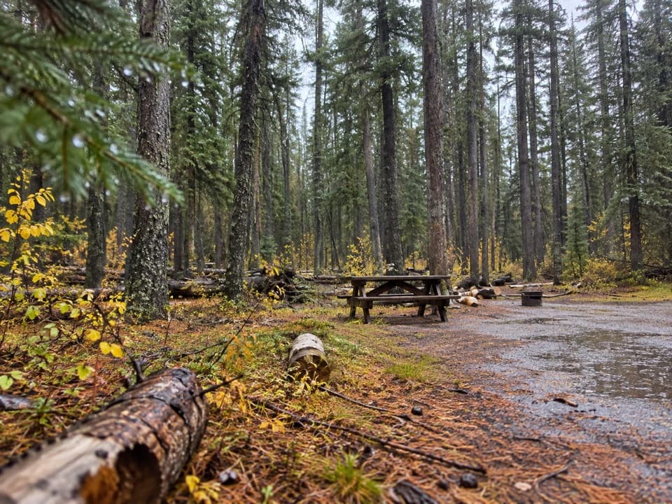
Jasper House Viewpoint in Jasper National Park

Sight · Jasper National Park

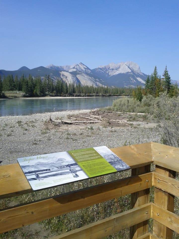
Jasper House Viewpoint

A short riverside viewpoint for Jasper House's fur-trade story.

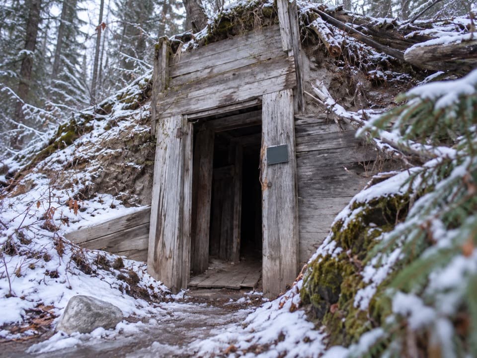
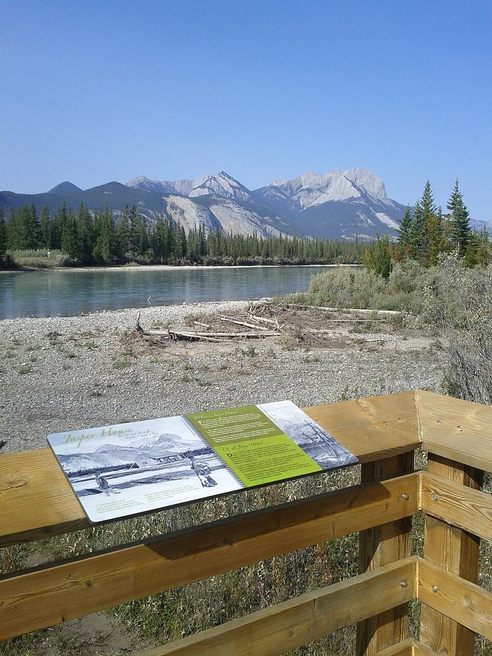
Photo: Themeancanadian, CC BY-SA 3.0, via Wikimedia Commons

Type
Sight
Nearest trail
0.3 km
Audio stories
3 nearby
  • Parking
  • Restrooms
  • Scenic viewpoint
  • Exhibit

Hear the audio tour

Jasper House Viewpoint: Across the Athabasca
Download Parkwolf on the App StoreGet Parkwolf on Google Play

4.7 from 8,600+ ratings

Overview

About Jasper House Viewpoint

Why stop

  • A brief woodland walk ends at a raised river overlook.

Heads up

  • The buildings are gone, and the historic clearing is across the river.

Map

Where it is

Loading the Jasper map
Full map
SightJasper House Viewpoint53.14582, -117.98109
Keep this map with you offline in the Parkwolf app

Plan your stop

Before you go

4 active Jasper alerts

  • ClosureCavell Road and Maligne Canyon closedCavell Road and Maligne Canyon are closed; do not plan access to these areas.Official details
  • Caution93A construction restricts cyclistsConstruction on Highway 93A between the north end of 93N and Marmot Road means single-lane vehicle access and no cycling from November 2026 through spring 2027.Official details

See all 4 alerts
A park ranger sits on a dash-mounted phone, talking, as Parkwolf’s Tour Guide plays “Army Cutworm Moths: A Grizzly Bear Buffet” on Grand Loop Road below Dunraven Pass in Yellowstone
Parkwolf Tour GuideThe highest, rockiest slopes around here are a summer buffet for grizzly bears.

Jasper Tour Guide

Your drive to Jasper House Viewpoint, narrated.

Parkwolf is a GPS audio tour guide for Jasper National Park. As you drive, it chimes in with what’s ahead: hidden gems, upcoming stops, history, geology, and wildlife, right through your car’s speakers.

See the Jasper audio tour

Recorded for this place

Jasper House Viewpoint: Across the Athabasca
0:00 / 0:30
“You're nearing Jasper House Viewpoint, where a short woodland walk reaches a platform above the Athabasca River. Across the water, a clearing marks the old fur-trade post; its log buildings are gone.”

Plays as you drive up to Jasper House Viewpoint in the Parkwolf Jasper Tour Guide.

More stories near here in the app

  • What Makes the Northern Lights Glow
  • When Railway Grades Became a Highway
  • How Mountain Goats Grip a Cliff
  • Talbot Lake: Shore Break or Planned Paddle
  • 170 audio storiesacross Jasper’s roads, triggered by GPS as you drive
  • Wildlife heatmapsfor Grizzly Bear, Caribou, Gray Wolf, and 13 more
  • Works offlinemaps, 74 trails, 189 places, and audio download before you lose signal
  • CarPlay readysimple controls built for the drive
★★★★★
“Fantastic app with many points of information… It’s great to just turn on while you’re driving and it gives you an audio tour of the national Park. We love it!!!!”
JMJamesApp Store review
Download Parkwolf on the App StoreGet Parkwolf on Google Play

4.7 from 8,600+ ratings

Guide

More about Jasper House Viewpoint

A short roadside stopThis is the public viewpoint for Jasper House National Historic Site, a fur-trade post whose…

This is the public viewpoint for Jasper House National Historic Site, a fur-trade post whose cleared footprint lies across the Athabasca River. From the Highway 16 pullout, a short path through trees leads to a wooden platform. The log buildings are gone, so the visit is about the river setting and the story of the crossing, not walking through ruins.

Look across the AthabascaThe platform faces the far-bank clearing where Jasper House stood.

The platform faces the far-bank clearing where Jasper House stood. Leave some of the river in the frame with the clearing beyond it: the water helps show why the historic site and the public viewpoint are on opposite banks. An interpretive panel on the platform gives context for the view.

A fur-trade stopping placeThe North West Company established a provision depot at Brule Lake in 1813 to support fur…

The North West Company established a provision depot at Brule Lake in 1813 to support fur brigades crossing the Rockies. Jasper Haws took charge in 1817; the post became known as Jasper's House to distinguish it from Rocky Mountain House on the Saskatchewan River. It supplied travelers with food and horses and became a principal stopping place for people using the Athabasca and Yellowhead passes for nearly 50 years, as well as a meeting point for voyageurs, artists and missionaries.

Plan the stopThe pullout is 35 km east of Jasper on Highway 16.

The pullout is 35 km east of Jasper on Highway 16. Parks Canada lists parking and restrooms, but no food service, so don't count on this as a meal stop. The site is listed as always open, though snow can make it inaccessible in winter. Westbound drivers should watch for the blind corner when turning into the pullout. The historic clearing is across the river; there is no road access to the remains.

Wildlife

Wildlife in Jasper

All Jasper wildlife maps

Sighting maps show where each species has been reported across Jasper. Wildlife moves, so no sighting is guaranteed.

Keep exploring

Near Jasper House Viewpoint

See it all on the map

Trails nearby

More stops nearby

Parkwolf’s Jasper ranking

Top sights in Jasper

All 189 places
  1. 1Maligne LakeSight
  2. 2Spirit IslandSight
  3. 3Athabasca GlacierSight
  4. 4Athabasca FallsSight
  5. 5Sunwapta FallsSight
  6. 6Mount Edith CavellSight

Take Parkwolf to Jasper.

The audio tour guide for the drive, plus offline maps, trails, and wildlife heatmaps for when the signal drops.

4.7 from 8,600+ ratings

Download Parkwolf on the App StoreGet Parkwolf on Google Play