Parking
Use the roadside pullout on Highway 16 for the Jasper House Viewpoint trailhead.
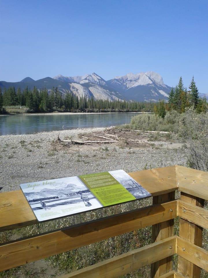
Jasper National Park, AB
A short walk to a view across the river toward Jasper House.
Photo: Themeancanadian, CC BY-SA 3.0, via Wikimedia Commons
Overview
Map & elevation
Plan your hike

The highest, rockiest slopes around here are a summer buffet for grizzly bears.
Jasper Tour Guide
Parkwolf is a GPS audio tour guide for Jasper National Park. As you drive, it chimes in with what’s ahead: hidden gems, upcoming stops, history, geology, and wildlife, right through your car’s speakers.
See the Jasper audio tourRecorded for this trailhead
Jasper House Viewpoint: Across the Athabasca“You're nearing Jasper House Viewpoint, where a short woodland walk reaches a platform above the Athabasca River. Across the water, a clearing marks the old fur-trade post; its log buildings are gone.”
Plays as you drive up to this trailhead in the Parkwolf Jasper Tour Guide.
More stories near here in the app
“Fantastic app with many points of information… It’s great to just turn on while you’re driving and it gives you an audio tour of the national Park. We love it!!!!”


Trail guide
Jasper House Viewpoint Trail is an easy 700 m return walk (about 0.43 mile) from the roadside pullout on Highway 16. Allow around 20 minutes. The path ends at a lookout across the Athabasca River toward the former Jasper House trading post, making this a good short stop rather than a hike to the historic site's remains.
Jasper House was for nearly half a century a main stopping place for fur traders using the Athabasca and Yellowhead passes, and a meeting place for voyageurs, artists and missionaries. The viewpoint frames that history from the near bank; the historic site is across the water, and this walk does not reach it.
Wildlife
 175 sightingsGrizzly BearMost seen around 8 PMSighting map
 43 sightingsCaribouMost seen around 7 AMSighting map
 41 sightingsGray WolfMost seen around 6 AMSighting map
 12 sightingsCanada LynxMost seen around 8 PMSighting map
 320 sightingsMooseMost seen around 6 AMSighting map
 1,048 sightingsElkMost seen around 7 AMSighting map
Sighting maps show where each species has been reported across Jasper. Wildlife moves, so no sighting is guaranteed.
Keep exploring
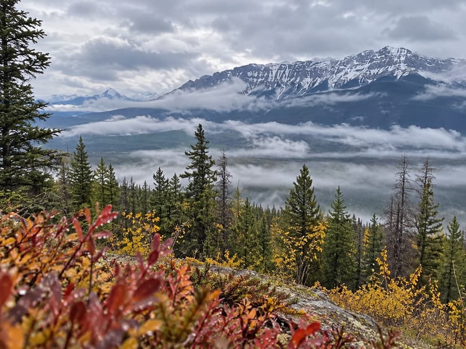 ModerateDevona Lookout Trail17.7 km · 6 hr · 4.2 km awayAn old lookout ridge above the Athabasca, earned the long way.
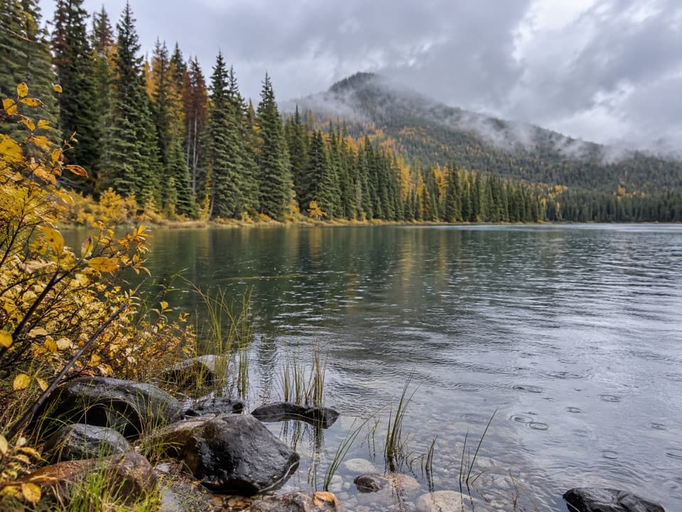 ModerateCelestine Lake Trail13.7 km · 4.5 hr · 4.3 km awayA long walk to a forest-fringed lake on Jasper's North Boundary.
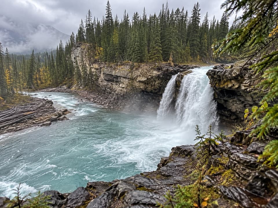 ChallengingSnake Indian Falls Trail53.4 km · 20 hr · 4.3 km awayA 27 km one-way approach to a thundering backcountry waterfall.
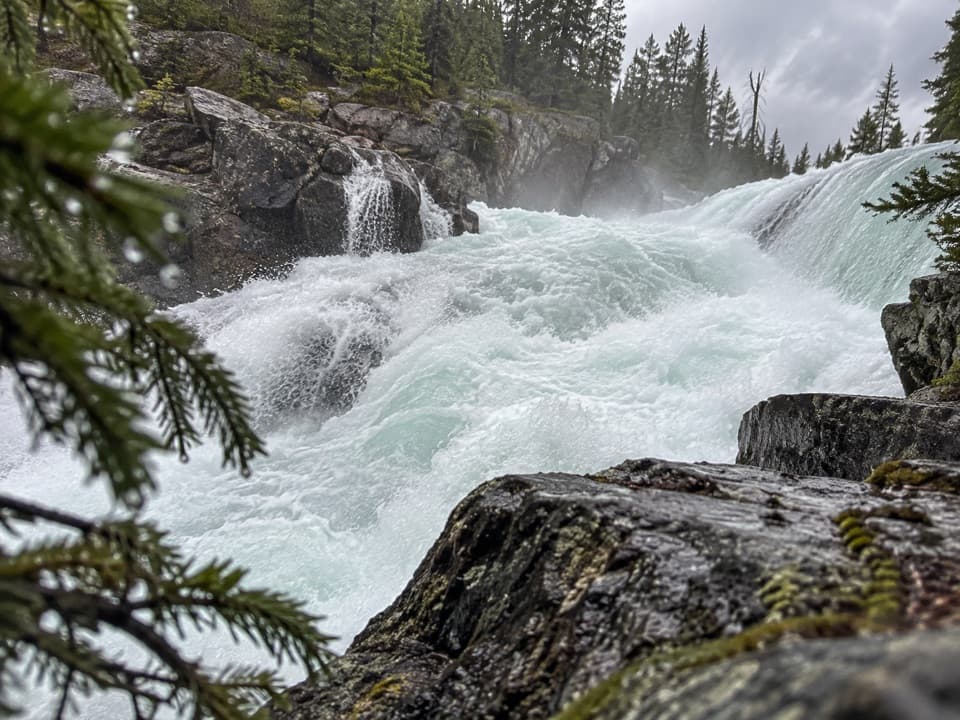 ChallengingCelestine Lake to Rock Lake Trail52.8 km · 3.5 days · 4.4 km awayA 52.8 km backcountry traverse past Snake Indian Falls.
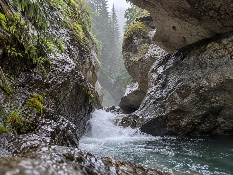 EasyPunchbowl Falls Trail0.2 km · 18 min · 7 km awayA quick bridge walk to a narrow canyon waterfall.
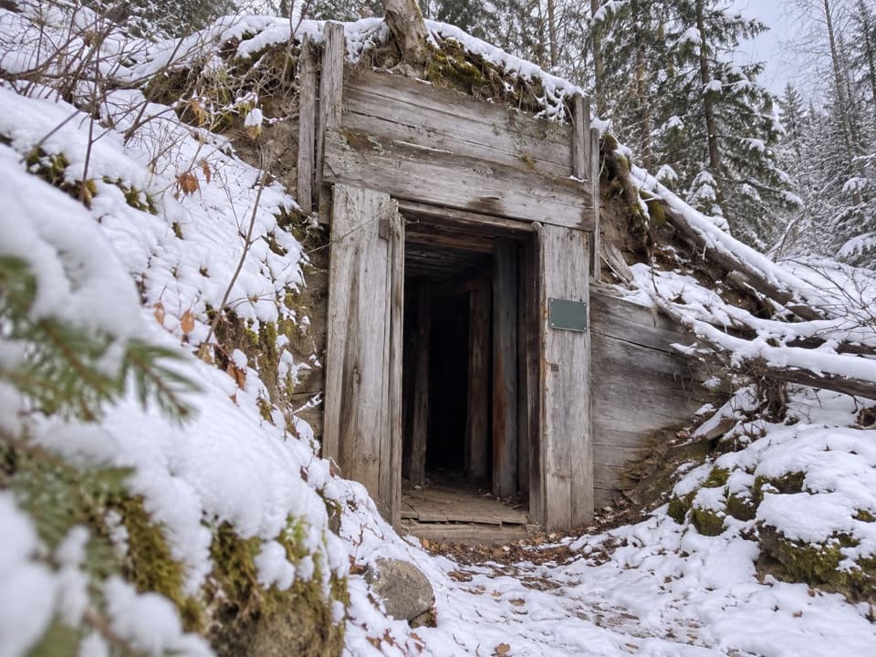 ModerateMine Trail: Upper Loop1.7 km · 45 min · 7.3 km awayA short loop past old mine remains, with a steep upper climb.
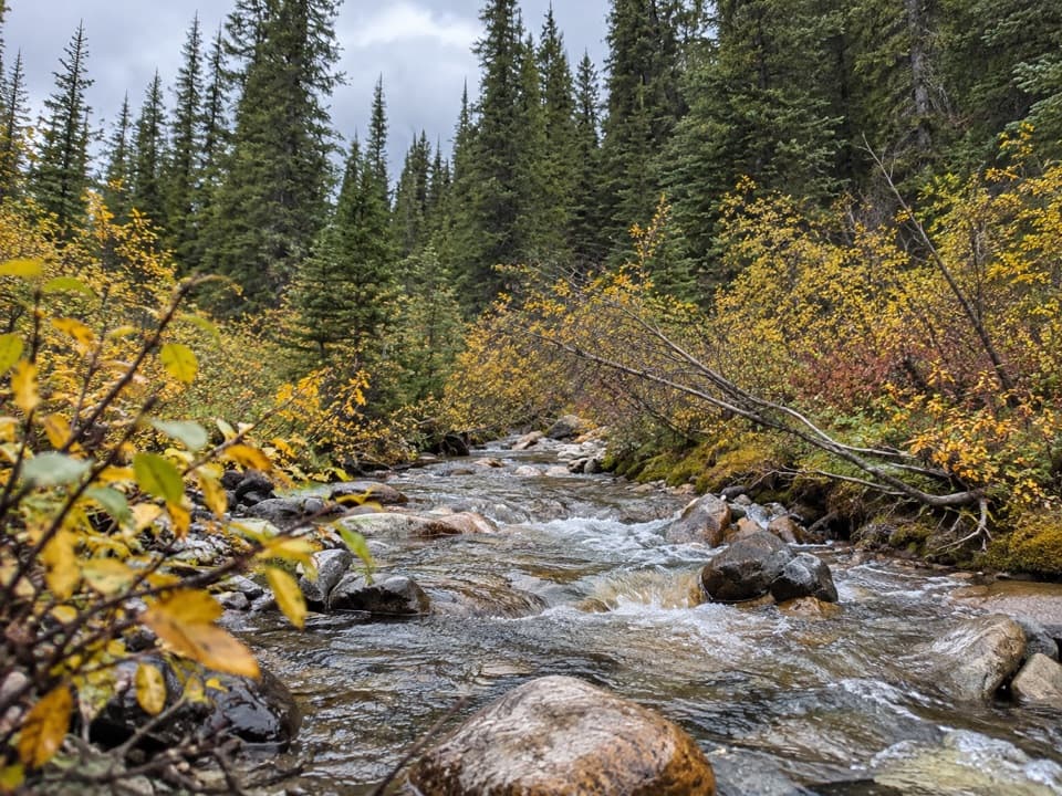 ChallengingVine Creek Trail16.4 km · 9 hr · 10.2 km awayA rough, remote creek climb with Roche de Smet views
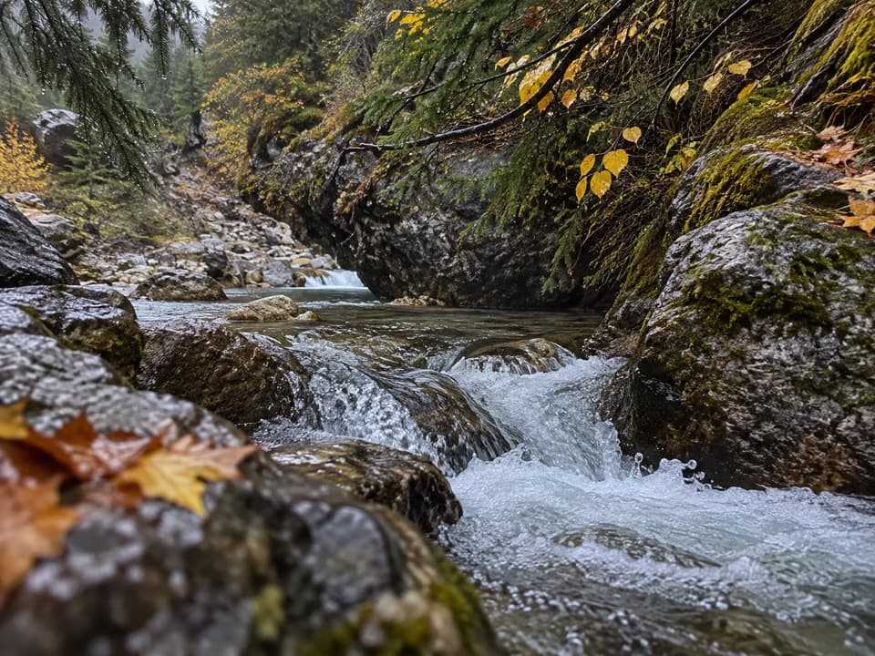 ModerateSource of the Springs Trail1.2 km · 30 min · 13.7 km awayWalk past the ruins to where 54°C spring water comes out.
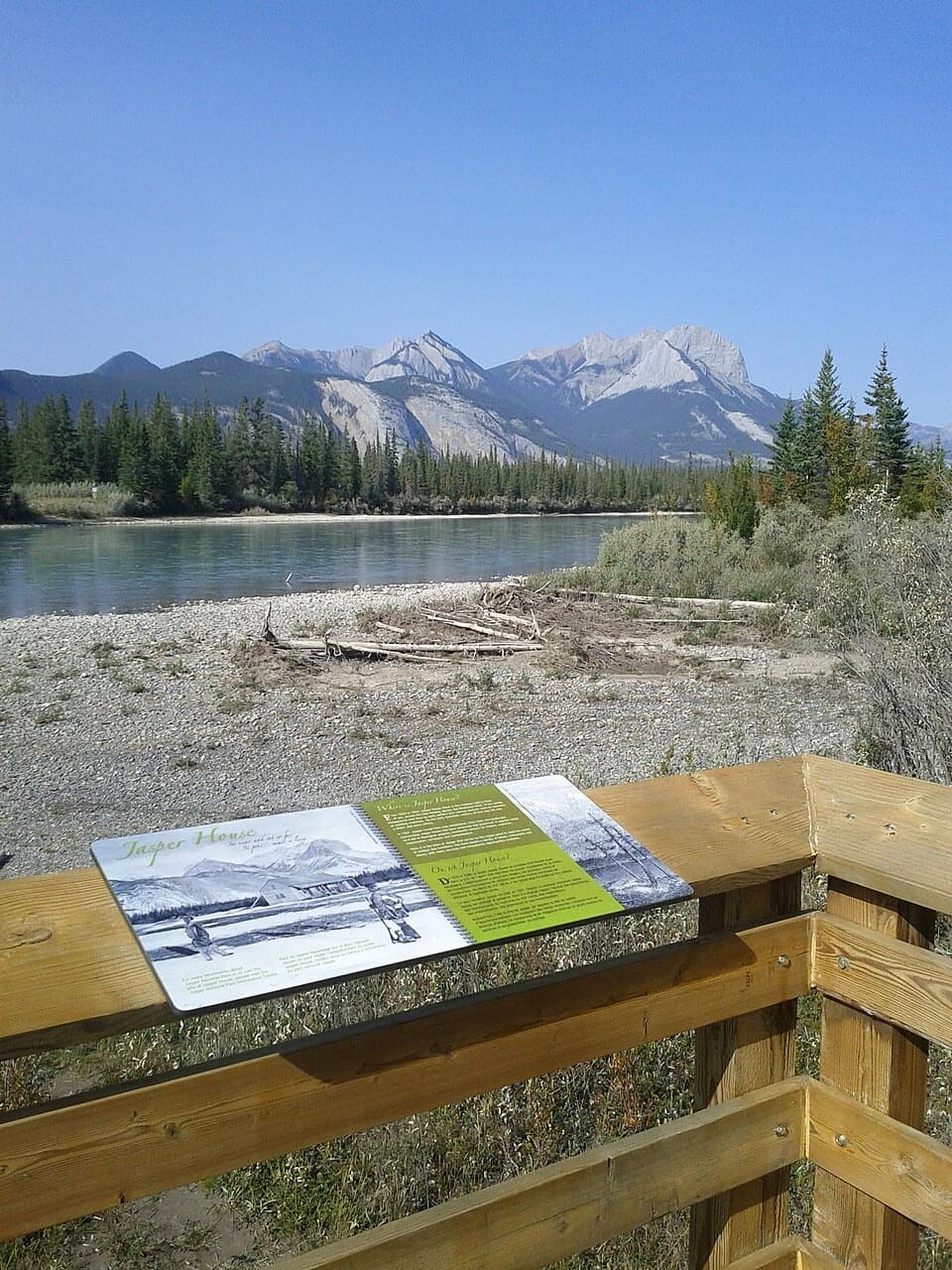 Sight · 0.3 km awayJasper House ViewpointA short riverside viewpoint for Jasper House's fur-trade story.
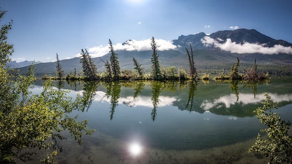 Sight · 4.2 km awayTalbot LakeA mountain-backed lake for paddling, fishing and a slower roadside stop.
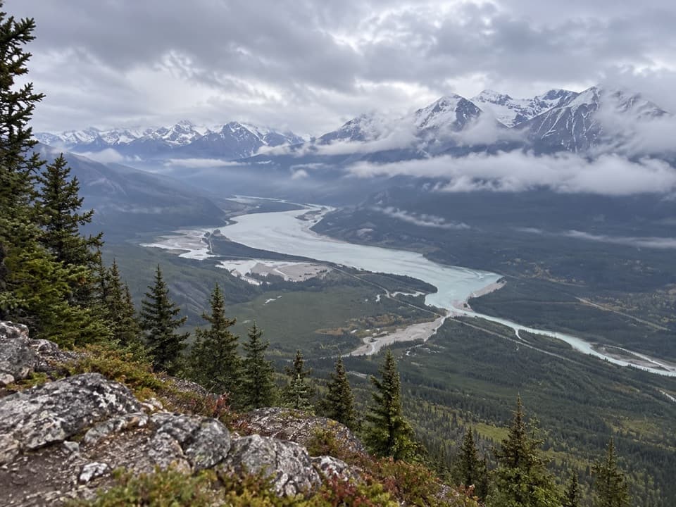 Sight · 6.8 km awayJasper LakeThe Athabasca slows here, leaving wide sand flats below the ranges.
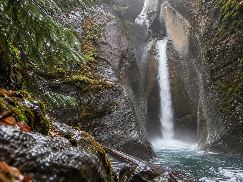 Sight · 6.9 km awayPunchbowl FallsA brief paved walk to a punchbowl hollow and rocky waterfall.
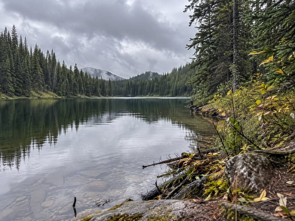 Campground · 7.1 km awayCelestine Lake Backcountry CampgroundA six-site backcountry camp beside a forest-fringed lake.
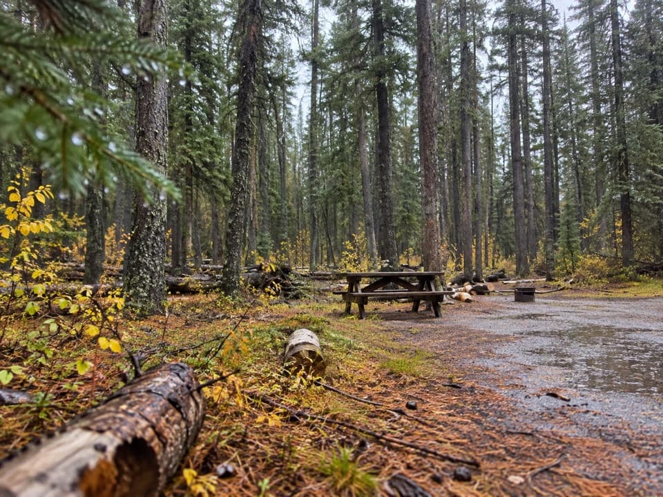 Campground · 7.1 km awayMiette CampgroundCamp in the trees near Miette Hot Springs
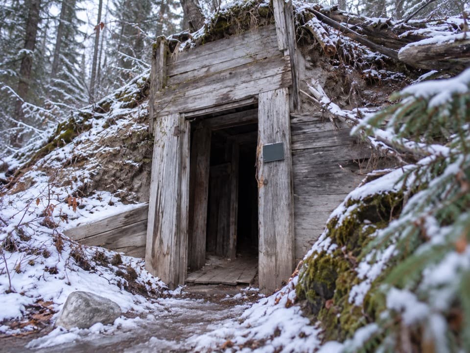 Sight · 7.3 km awayMiette Mine RuinsA quick loop through an old coal-mining townsite.
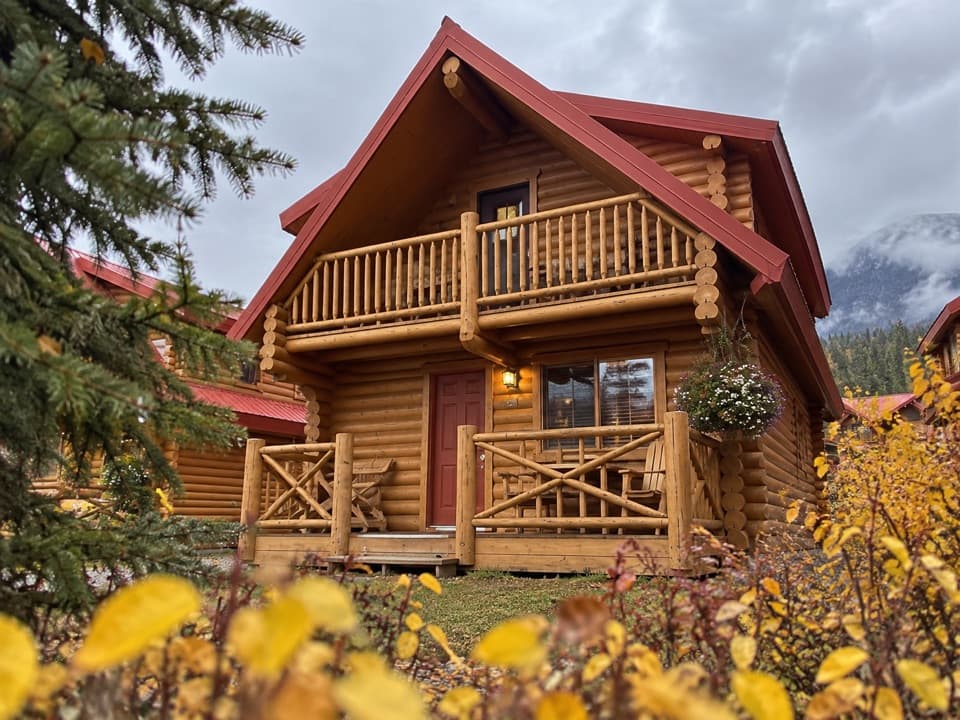 Lodging · 7.4 km awayMiette Mountain CabinsA quiet cabin base with a games room and summer pool.
Parkwolf’s Jasper ranking

The audio tour guide for the drive, plus offline maps, trails, and wildlife heatmaps for when the signal drops.





