Parking
Use the Lower Mine Trail parking area on Miette Road, about 200 m from Highway 16. Vehicle access is seasonal, usually mid-May to mid-October; check the current road schedule before driving out of season.
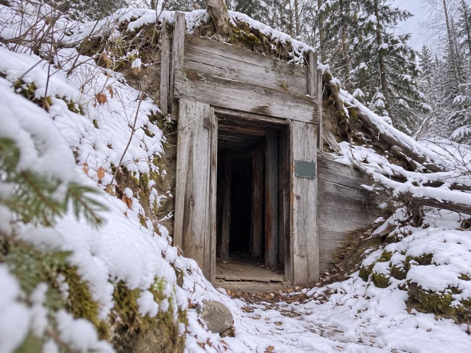
Jasper National Park, AB
A short loop past old mine remains, with a steep upper climb.
Overview
Map & elevation
Plan your hike

The highest, rockiest slopes around here are a summer buffet for grizzly bears.
Jasper Tour Guide
Parkwolf is a GPS audio tour guide for Jasper National Park. As you drive, it chimes in with what’s ahead: hidden gems, upcoming stops, history, geology, and wildlife, right through your car’s speakers.
See the Jasper audio tourRecorded for this trailhead
Miette Mine Ruins: The Old Coal Town“Up ahead are the Miette Mine Ruins, where a short walk takes you through the old Pocahontas coal-mining townsite. Choose the paved lower loop for a twenty-minute history stop; it's rough in places and has some slopes.”
Plays as you drive up to this trailhead in the Parkwolf Jasper Tour Guide.
More stories near here in the app
“Fantastic app with many points of information… It’s great to just turn on while you’re driving and it gives you an audio tour of the national Park. We love it!!!!”


Trail guide
Mine Trail's Upper loop (Trail 32) is a 1.7 km return loop through the old Pocahontas mine site, starting on Miette Road near Highway 16. Allow about 45 minutes. It's rated moderate, with a steep climb and descent and wide valley views. Choose it for a short walk with a bit of history and uphill effort.
Trail 32 is the moderate upper choice. The separate Lower loop (Trail 31) at the same trailhead is an easier 900 m walk that takes about 20 minutes. The mapped upper route leaves its two ends about 100 m apart beside the shared access; follow the Trail 32 markers for the short link back rather than treating that gap as the end of the walk.
Start at the Lower Mine Trail parking area on Miette Road, about 200 m from Highway 16. Vehicle access is seasonal, usually from mid-May to mid-October; the road remains open to non-motorized users year-round, but check where to park if you're hiking outside the driving season. Dogs are allowed on leash.
Wildlife
 175 sightingsGrizzly BearMost seen around 8 PMSighting map
 43 sightingsCaribouMost seen around 7 AMSighting map
 41 sightingsGray WolfMost seen around 6 AMSighting map
 12 sightingsCanada LynxMost seen around 8 PMSighting map
 320 sightingsMooseMost seen around 6 AMSighting map
 1,048 sightingsElkMost seen around 7 AMSighting map
Sighting maps show where each species has been reported across Jasper. Wildlife moves, so no sighting is guaranteed.
Keep exploring
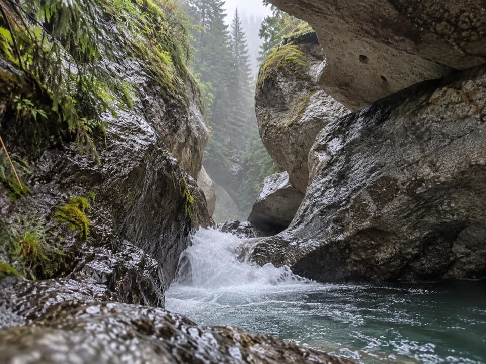 EasyPunchbowl Falls Trail0.2 km · 18 min · 0.5 km awayA quick bridge walk to a narrow canyon waterfall.
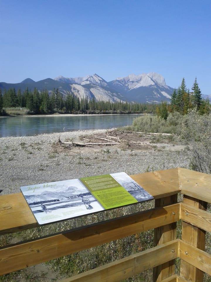 EasyJasper House Viewpoint Trail0.7 km · 20 min · 7.3 km awayA short walk to a view across the river toward Jasper House.
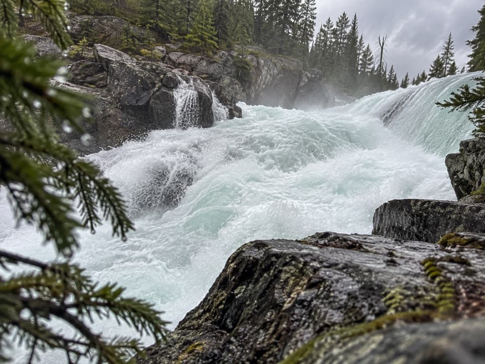 ChallengingCelestine Lake to Rock Lake Trail52.8 km · 3.5 days · 8.6 km awayA 52.8 km backcountry traverse past Snake Indian Falls.
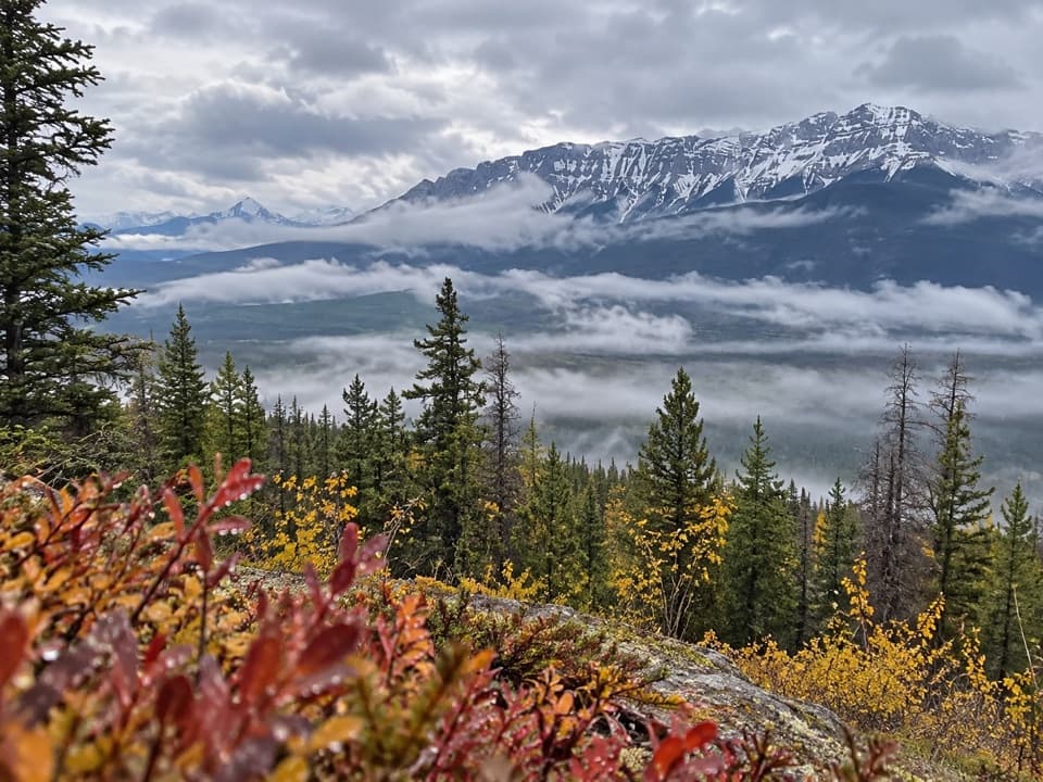 ModerateDevona Lookout Trail17.7 km · 6 hr · 8.8 km awayAn old lookout ridge above the Athabasca, earned the long way.
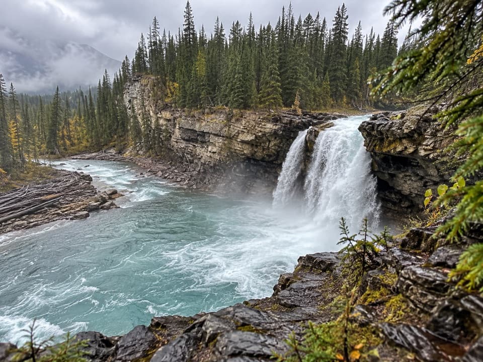 ChallengingSnake Indian Falls Trail53.4 km · 20 hr · 9 km awayA 27 km one-way approach to a thundering backcountry waterfall.
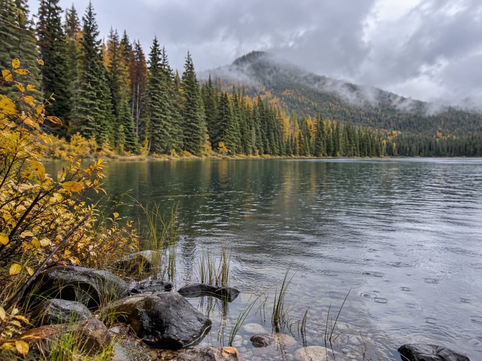 ModerateCelestine Lake Trail13.7 km · 4.5 hr · 9 km awayA long walk to a forest-fringed lake on Jasper's North Boundary.
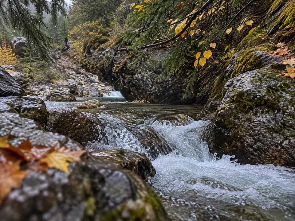 ModerateSource of the Springs Trail1.2 km · 30 min · 13.1 km awayWalk past the ruins to where 54°C spring water comes out.
 ChallengingSulphur Skyline Trail8.8 km · 5 hr · 13.2 km awayA hard alpine climb to a wide-open summit panorama.
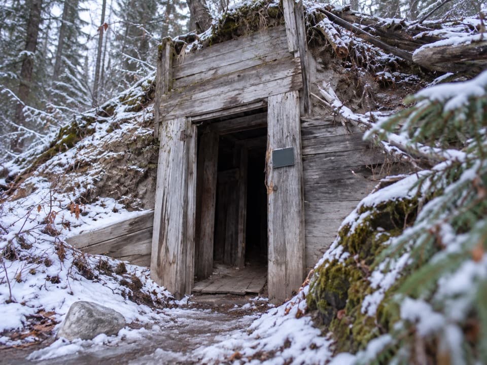 Sight · At the trailheadMiette Mine RuinsA quick loop through an old coal-mining townsite.
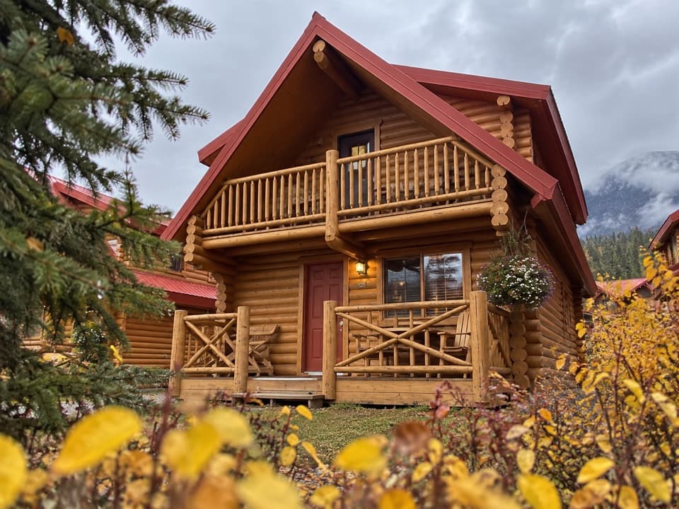 Lodging · 0.2 km awayMiette Mountain CabinsA quiet cabin base with a games room and summer pool.
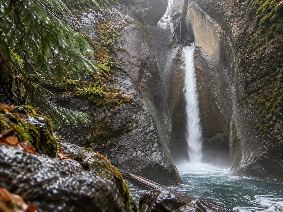 Sight · 0.6 km awayPunchbowl FallsA brief paved walk to a punchbowl hollow and rocky waterfall.
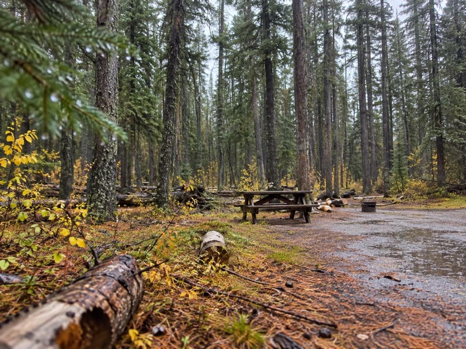 Campground · 1.3 km awayMiette CampgroundCamp in the trees near Miette Hot Springs
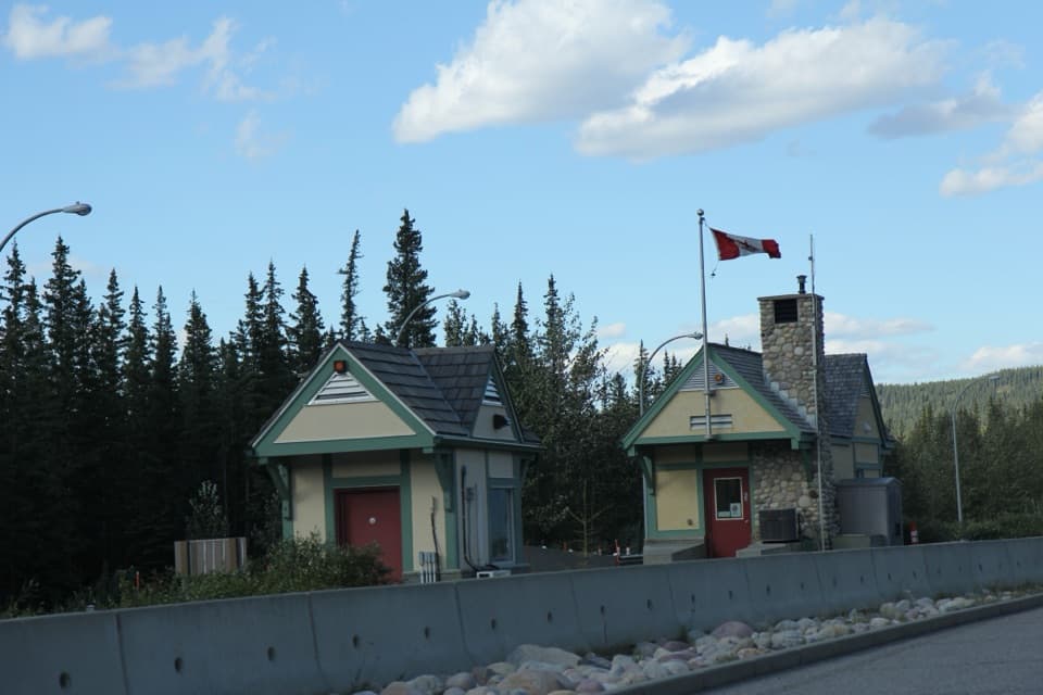 Entrance station · 6.2 km awayJasper National Park East GateA practical pass stop on the eastern Highway 16 approach.
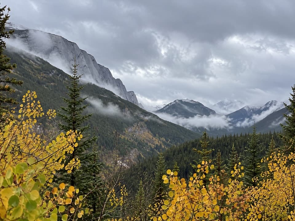 Scenic pullout · 6.4 km awayAshlar Ridge ViewpointPause halfway up Miette Road for a breather before the hot springs.
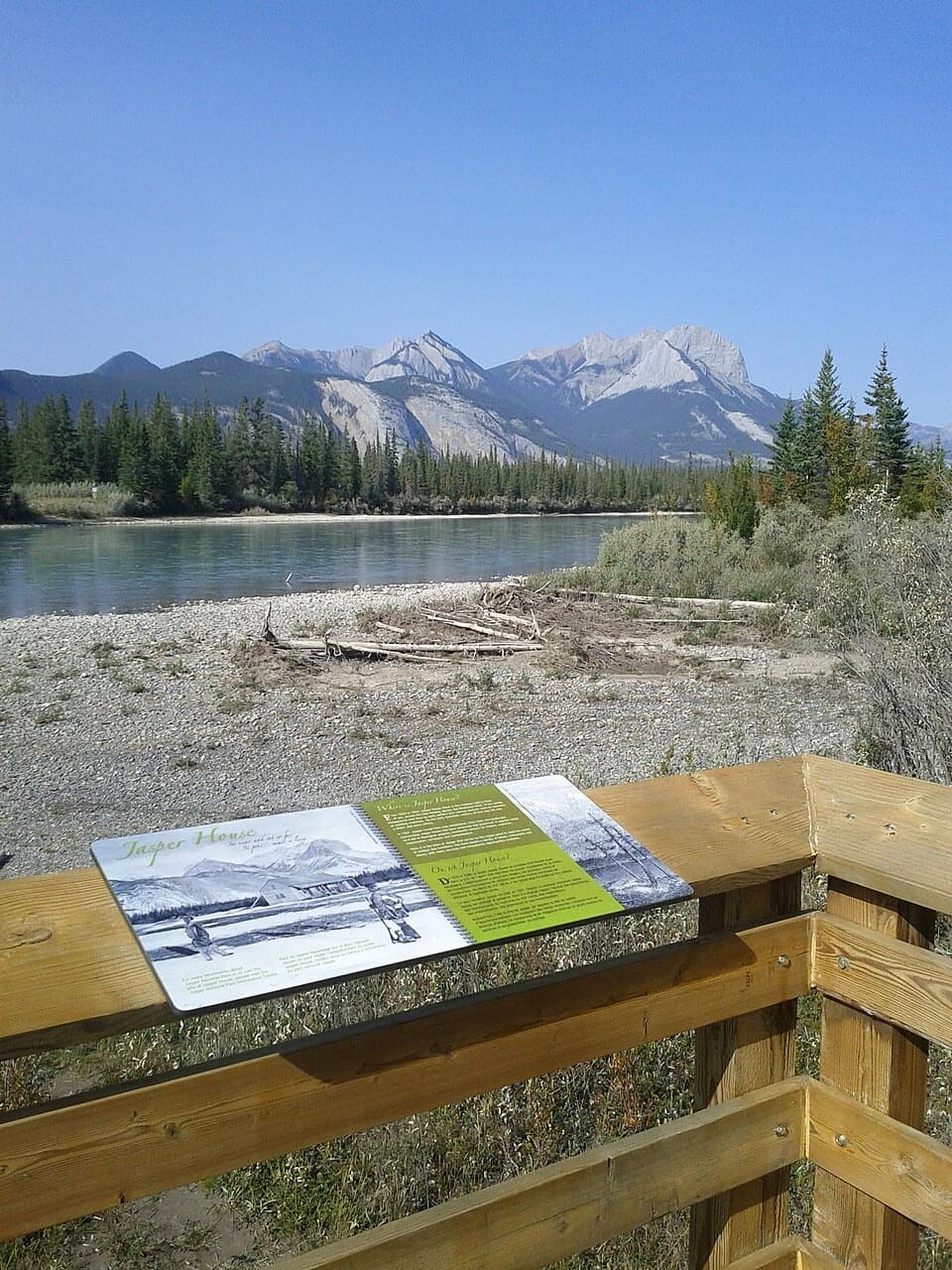 Sight · 7.4 km awayJasper House ViewpointA short riverside viewpoint for Jasper House's fur-trade story.
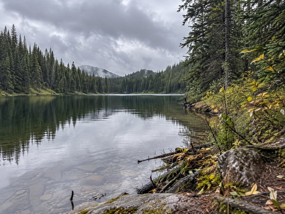 Campground · 8.9 km awayCelestine Lake Backcountry CampgroundA six-site backcountry camp beside a forest-fringed lake.
Parkwolf’s Jasper ranking

The audio tour guide for the drive, plus offline maps, trails, and wildlife heatmaps for when the signal drops.




