Celestine Lake to Rock Lake Trail in Jasper National Park

Jasper National Park, AB

Celestine Lake to Rock Lake Trail

A 52.8 km backcountry traverse past Snake Indian Falls.

Length
52.8km
Time
3.5days
Elev. change
348m
Difficulty
Challenging
  • No dogs
  • High point 1,491 m

Hear the audio tour

Celestine Lake Road: Plan the Access

Overview

About Celestine Lake to Rock Lake Trail

Why go

  • Snake Indian Falls is reached by a short side trail from the route.
  • Four simple backcountry camps break up the long traverse.

Heads up

  • The official mileage and connected mapped corridor differ by about 4 km.
  • A high-water ford and boggy ground can slow the remote final stretch.

Map & elevation

The route

Loading the Jasper map
Full map
Elevation1,143–1,491 m
TrailheadCelestine Lake Trailhead (Snake Indian River footbridge)53.16295, -118.03660
Keep this map with you offline in the Parkwolf app

Plan your hike

Before you go

Parking

Start at the Celestine Lake trailhead by the Snake Indian River footbridge, about 44 km from Jasper via Snaring Road. The final 14 km is rough gravel with timed one-way access. Finish at the signed Rock Lake trailhead lot in Willmore Wilderness, not Rock Lake Campground; this is point to point, so arrange a pickup or vehicle transfer.

Safety

A backcountry camping permit is mandatory for overnight trips. Bogs can occur beyond Willow Creek and the unbridged Rock Creek ford can be difficult at high water. Celestine Road is rough, seasonal and timed one way; low-clearance vehicles are not recommended and trailers or RVs are prohibited. Parks Canada’s Celestine-to-Rock page permits dogs, but its North Boundary overnight guide prohibits them overnight; assume dogs cannot accompany the full multi-day traverse unless Parks Canada confirms route-specific permission.

4 active Jasper alerts

  • ClosureCavell Road and Maligne Canyon closedCavell Road and Maligne Canyon are closed; do not plan access to these areas.Official details
  • Caution93A construction restricts cyclistsConstruction on Highway 93A between the north end of 93N and Marmot Road means single-lane vehicle access and no cycling from November 2026 through spring 2027.Official details
See all 4 alerts
A park ranger sits on a dash-mounted phone, talking, as Parkwolf’s Tour Guide plays “Army Cutworm Moths: A Grizzly Bear Buffet” on Grand Loop Road below Dunraven Pass in Yellowstone
Parkwolf Tour GuideThe highest, rockiest slopes around here are a summer buffet for grizzly bears.

Jasper Tour Guide

Your drive to Celestine Lake to Rock Lake Trail, narrated.

Parkwolf is a GPS audio tour guide for Jasper National Park. As you drive, it chimes in with what’s ahead: hidden gems, upcoming stops, history, geology, and wildlife, right through your car’s speakers.

See the Jasper audio tour

Recorded for this trailhead

Celestine Lake Road: Plan the Access
0:00 / 0:27
“You're approaching the access road for Celestine Lake and the North Boundary trails. This is a planned backcountry outing: the trailheads are farther along a rough, seasonal road with timed one-way travel.”

Plays as you drive up to this trailhead in the Parkwolf Jasper Tour Guide.

More stories near here in the app

  • What Makes the Northern Lights Glow
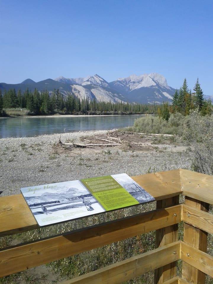
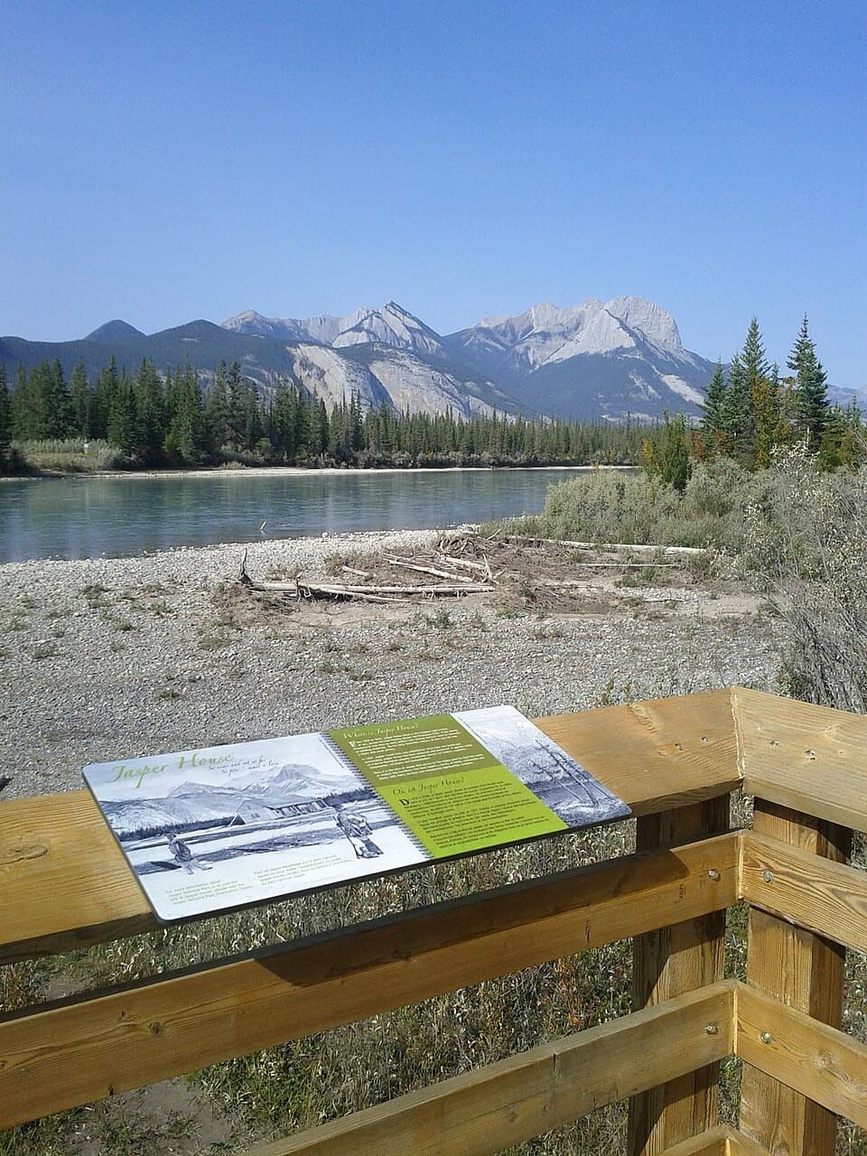
  • Jasper House Viewpoint: Across the Athabasca
  • How Mountain Goats Grip a Cliff
  • When Railway Grades Became a Highway
  • 170 audio storiesacross Jasper’s roads, triggered by GPS as you drive
  • Wildlife heatmapsfor Grizzly Bear, Caribou, Gray Wolf, and 13 more
  • Works offlinemaps, 74 trails, 189 places, and audio download before you lose signal
  • CarPlay readysimple controls built for the drive
★★★★★
“Fantastic app with many points of information… It’s great to just turn on while you’re driving and it gives you an audio tour of the national Park. We love it!!!!”
JMJamesApp Store review
Download Parkwolf on the App StoreGet Parkwolf on Google Play

4.7 from 8,600+ ratings

Trail guide

Hiking Celestine Lake to Rock Lake Trail

The whole traverseThe Celestine Lake to Rock Lake Trail is a 52.

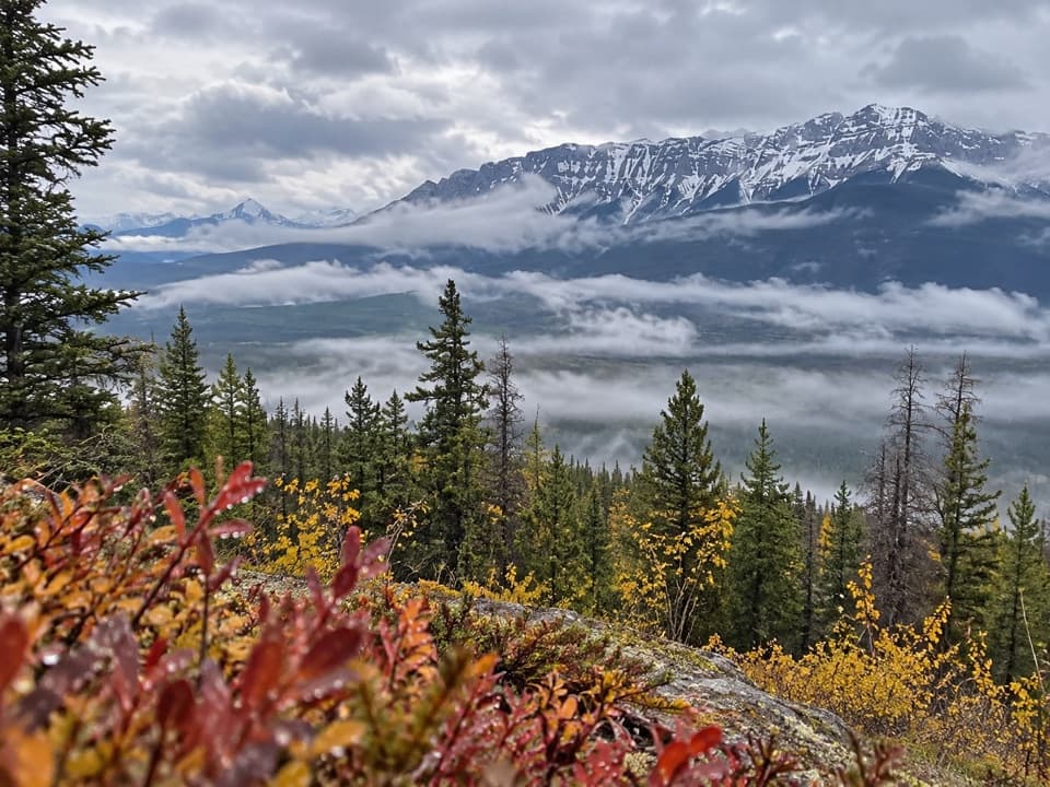
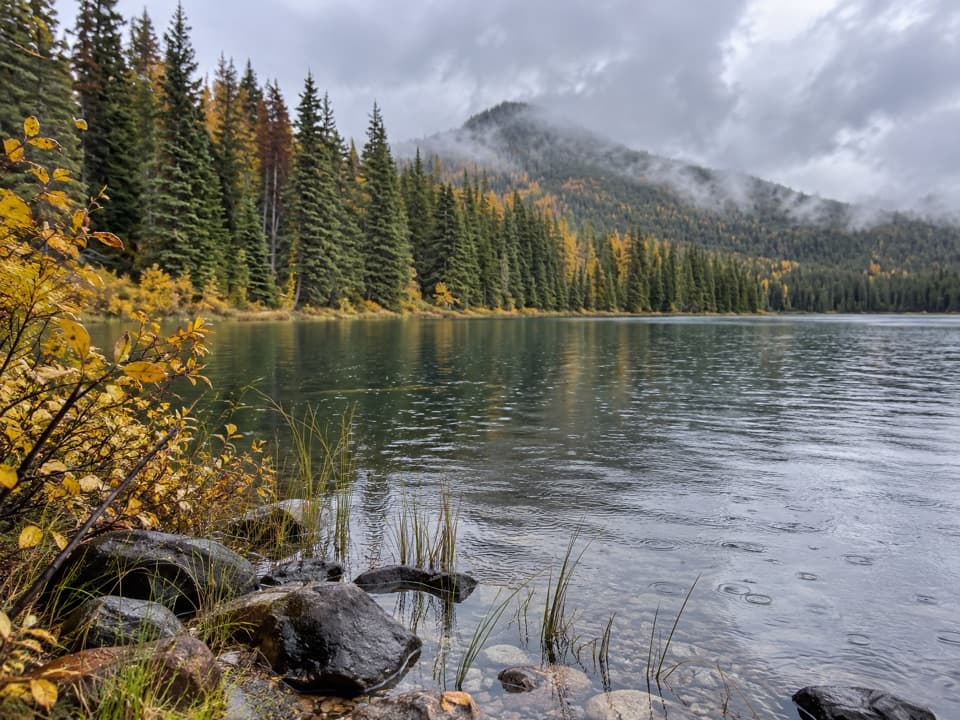
The Celestine Lake to Rock Lake Trail is a 52.8 km one-way backcountry walk from the footbridge over the Snake Indian River to the Rock Lake trailhead. Parks Canada estimates 3–4 days on Trails 150 and 153. This is not the shorter Celestine Lake outing: the lake is a side trip near the start, while this route continues northwest through the North Boundary corridor to Rock Lake. Expect a long point-to-point trip, with old fire road early, narrower trail later, a waterfall detour and broad meadows. There is a mileage wrinkle: the park’s 2026 guide lists 52.8 km, while the connected line available to map measures about 48.8 km, roughly 4 km shorter. Use the official distance for planning; the app line is a corridor guide, not a surveyed mileage track.

The first milesThe route begins with a footbridge across the Snake Indian River and canyon, then climbs…

The route begins with a footbridge across the Snake Indian River and canyon, then climbs steadily on an old fire road to a bench above the river. Around km 5, an old parking area marks a junction. The branch to the right leads toward Princess Lake, Celestine Lake Campground and Devona Lookout; those are side trips, not part of the direct through-route. Celestine Lake sits about 2 km up its branch and is a useful separate overnight destination if you want a shorter trip.

Road, singletrack and fallsThe through-route follows an old dirt roadway to Shalebanks (62) and Seldom Inn (63), then…

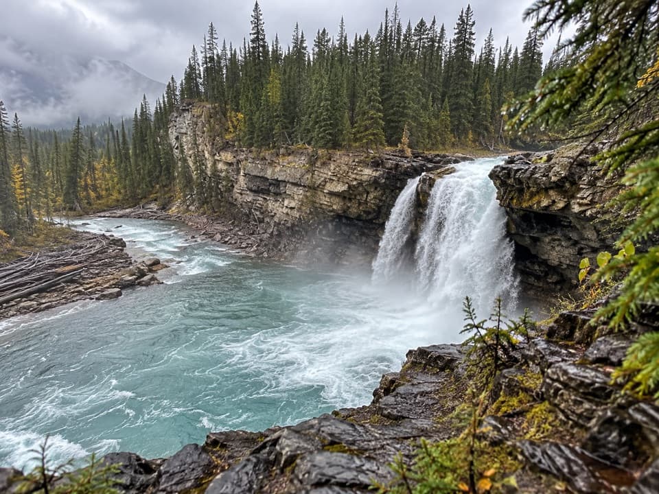
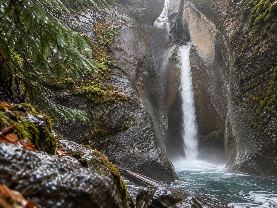
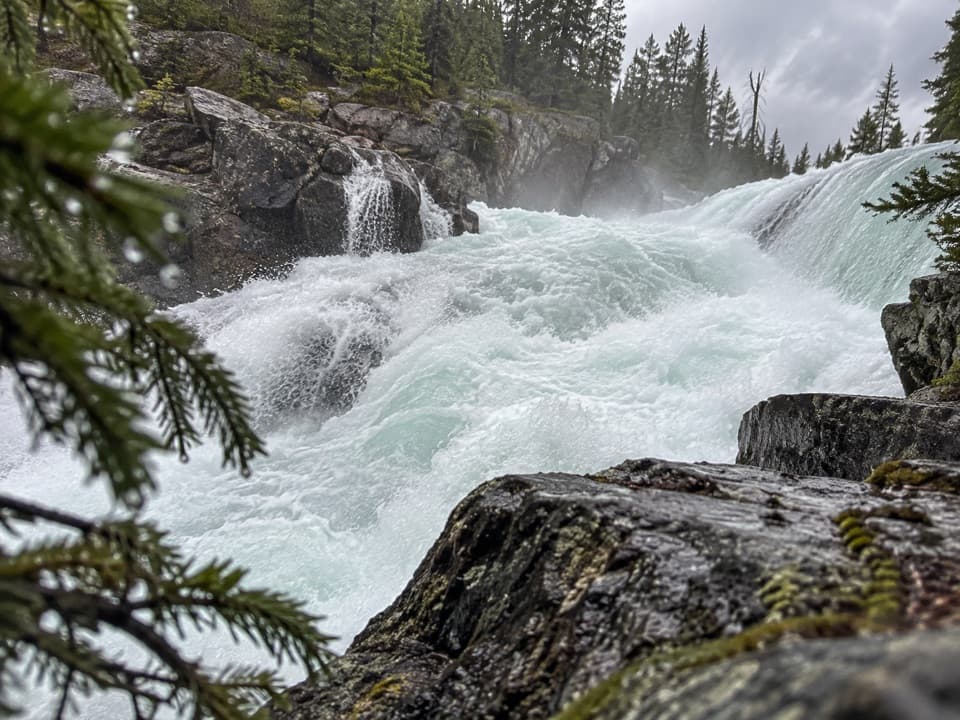
The through-route follows an old dirt roadway to Shalebanks (#62) and Seldom Inn (#63), then narrows to singletrack. At about km 26.5, a 200 m side trail reaches Snake Indian Falls, the standout stop on this long walk. After Horseshoe (#65), the route opens into broad meadows on the way to Willow Creek (#66). The named camps give you useful places to break up the traverse, but they are basic backcountry sites rather than serviced stops.

Camps and waterA backcountry camping permit is mandatory for overnight trips.

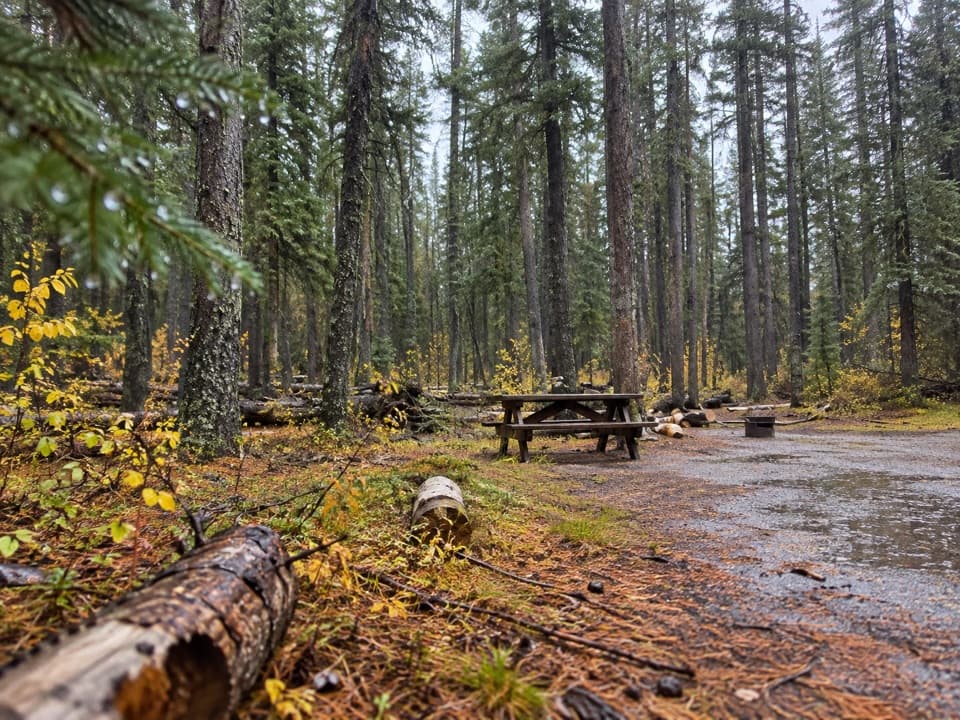
A backcountry camping permit is mandatory for overnight trips. The through-route passes Shalebanks, Seldom Inn, Horseshoe and Willow Creek campgrounds. Celestine Campground (#41), on the early side branch, has a water pump; boil or treat that water. The guide lists simple toilets and food-storage poles at the camps along the route, and no food services. Fires are limited to designated pits and can still be restricted by a fire ban. Plan the nights and permitted sites before setting out.

The last stretchBeyond Willow Creek, boggy ground can occur before Rock Creek.

Beyond Willow Creek, boggy ground can occur before Rock Creek. The ford is often low but can be challenging at high water. After the creek, it is another 6.5 km to the Rock Lake trailhead. This is a remote, low-priority route, so expect slower progress than the old-road sections suggest and do not treat the last stretch as an easy finish if the ford is high.

Access and restrictionsThe Celestine start is about 44 km from Jasper, via Snaring Road.

The Celestine start is about 44 km from Jasper, via Snaring Road. The final 14 km of Celestine Road is rough gravel on a timed one-way section; low-clearance vehicles are not recommended and trailers or RVs are prohibited. The road is seasonally open from mid-May to mid-October, but check the current schedule and road condition before going. Rock Lake is a separate point-to-point finish in Willmore Wilderness: use its signed trailhead lot, not Rock Lake Campground, and arrange a vehicle transfer or pickup. Parks Canada’s Celestine-to-Rock page marks dogs permitted, while its North Boundary overnight guide says dogs are not permitted overnight. For this usual 3–4 day itinerary, assume dogs cannot accompany the overnight traverse unless Parks Canada confirms otherwise.

Wildlife

Wildlife in Jasper

All Jasper wildlife maps

Sighting maps show where each species has been reported across Jasper. Wildlife moves, so no sighting is guaranteed.

Keep exploring

Near Celestine Lake to Rock Lake Trail

See it all on the map

Trails that start nearby

Places near the trailhead

Parkwolf’s Jasper ranking

Top-rated trails in Jasper

All 74 trails
  1. 1Skyline TrailChallenging · 44.1 km
  2. 2Cavell Meadows TrailModerate · 6.4 km
  3. 3Sulphur Skyline TrailChallenging · 8.8 km
  4. 4Bald Hills TrailChallenging · 10.4 km
  5. 5Wilcox Pass TrailChallenging · 6.8 km
  6. 6Tonquin Valley TrailChallenging · 43.1 km

Take Parkwolf to Jasper.

The audio tour guide for the drive, plus offline maps, trails, and wildlife heatmaps for when the signal drops.

4.7 from 8,600+ ratings

Download Parkwolf on the App StoreGet Parkwolf on Google Play