Pros & cons
PROS
- Jaw‑dropping Columbia Icefield scenery with views of Athabasca and Andromeda
- Serious alpine objective with classic ridge and snow routes for experienced climbers
CONS
- No on-site amenities; access and support are from the Athabasca Glacier area
- Glacier hazards, cornices, poor rock on K2, and fast‑changing weather
Overview
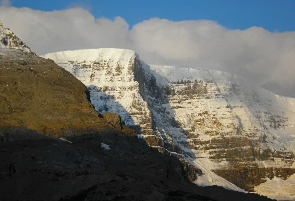
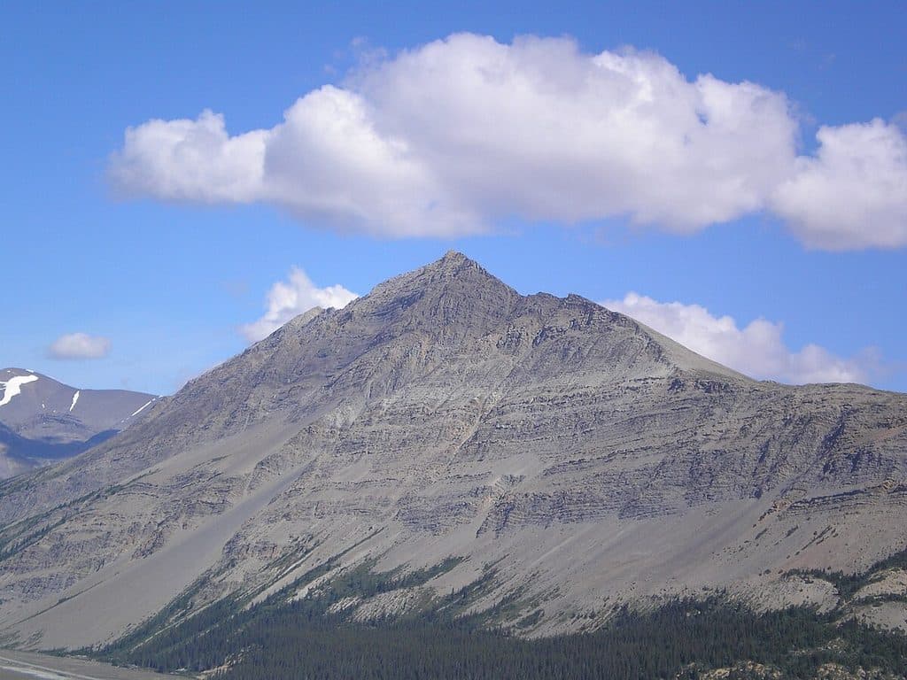
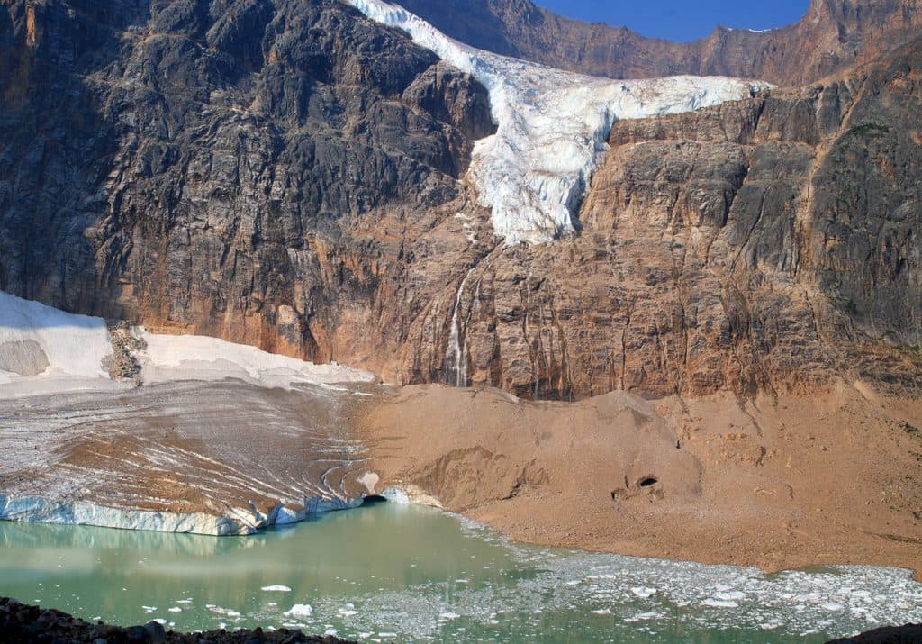
Mount Kitchener (3,505 m/11,499 ft) anchors the Columbia Icefield and towers over the Icefields Parkway. You don’t need to climb it to appreciate it—this is one of the big, glaciated showpieces you’ll stare at from the road. For alpinists, it’s a full-value objective in the Winston Churchill Range with sweeping ice and skyline views.
Why it’s special
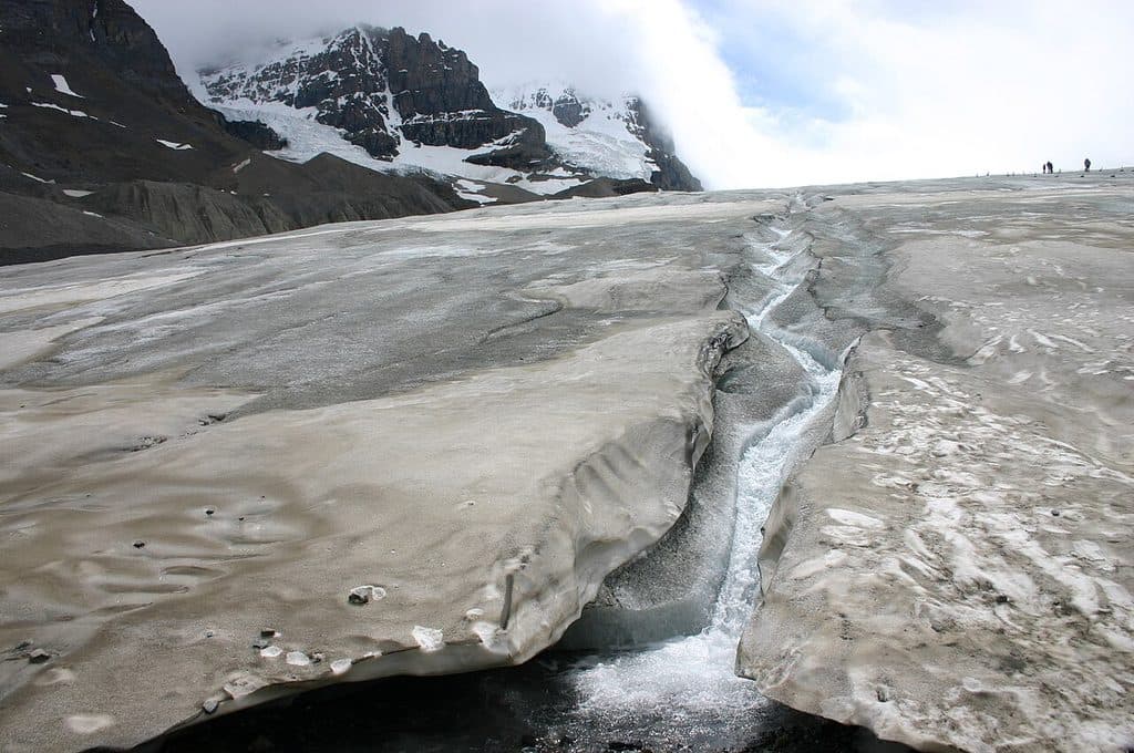
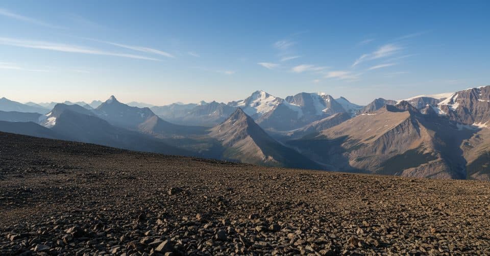
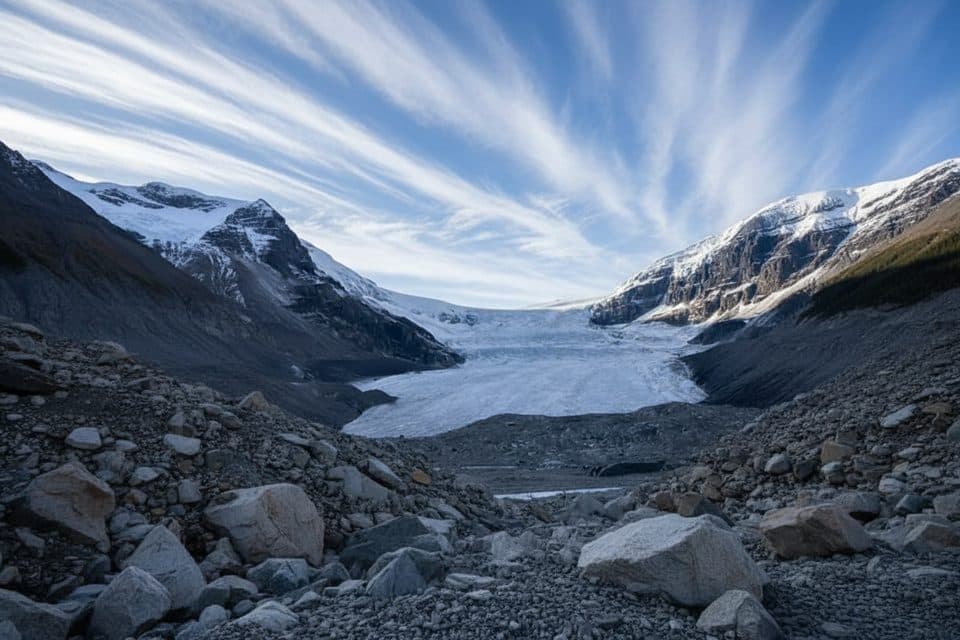
- The setting is pure drama: vast snowfields and crevassed glaciers wrapping a high, austere summit. Clear days deliver outstanding looks to neighboring heavyweights like Mount Athabasca and Mount Andromeda.
- It’s less trafficked than nearby roadside attractions, so it retains an adventurous, high-alpine feel even when the Parkway is busy.
Routes and character
- Typical ascents start near the toe of the Athabasca Glacier and involve rock/snow climbing and glacier travel. The East Ridge is specifically documented in professional conditions reports.
- Expect a very long day or a multi-day push depending on fitness, route, and conditions. Some parties incorporate the subsidiary top known as “K2,” where reports note atrocious rock and unexpected difficulties.
Hazards and what to know
- This is true mountaineering terrain: crevasses, cornices near the summit, variable snow/ice, and fast-moving storms are all on the table. Rope skills and glacier travel competence are essential.
- Parties have reported everything from hot, windless days to electrical storms—build a wide safety margin and turn around if weather threatens.
Logistics and amenities
- There are no amenities on the mountain. Climbers typically start from parking at the Athabasca Glacier area along the Icefields Parkway. Restrooms and services are not present on the route itself.
History
- First recorded ascent was in 1927 by Alfred J. Ostheimer with guide Hans Fuhrer. The peak, once called Mount Douglas, was renamed in 1916 to honor Lord Kitchener.
Wildlife
- Trip and conditions reports don’t emphasize wildlife here; sightings are more likely at lower elevations along approaches than on the glaciated upper mountain.
Best time to visit
- Climbers: late spring to early summer typically lines up with reported seasons, but snow and ice persist year-round—follow current professional conditions updates.
- Sightseers: any clear day from the Icefields Parkway. Early or late light adds definition to the glaciers, and weekday mornings mean fewer people at nearby viewpoints.

Where it is
52.2175, -117.3200Mount Kitchener
Tips for Mount Kitchener
- 01Begin from the Athabasca Glacier parking area and plan for a very early start.
- 02Study up-to-date professional conditions reports before committing to the East Ridge.
- 03If your line involves K2, budget extra time and treat the poor rock with caution.
- 04Rope up for glacier travel and probe for cornices near the summit.
- 05If you’re not an experienced alpinist, hire a qualified guide or stick to roadside viewing.
Near Mount Kitchener
All places →All trails →
2.1 mi awaySnow DomeTriple divide peak on the vast Columbia Icefield
3.3 mi awayColumbia IcefieldMassive glacier complex with tours, big views, and sobering retreatTrailhead · Pullout
3.3 mi awayAthabasca GlacierEasiest-access slice of the Columbia Icefield, stark and unforgettableTrailhead · Parking
3.6 mi awaySunwapta LakeQuiet glacial lake at the headwaters of the Sunwapta River
3.7 mi awayToe of the Athabasca GlacierQuick, windswept walk to a roped viewpoint at a famous glacier toe.Easy · 1.1 mi · 48 min
3.7 mi awayAthabasca Glacier Forefield TrailShort, rocky walk to the glacier’s toe with sobering year markers.Easy · 1 mi · 45 min
3.7 mi awayHike to Toe of Athabasca GlacierShort, windy walk to a sobering, up-close glacier viewpoint.Easy · 1.1 mi · 45 min
3.7 mi awayTangle Ridge TrailSteep, scree-to-summit day with rare Columbia Icefield panoramasChallenging · 6.6 mi · 6 hr