Challenging

Tangle Ridge Trail

Steep, scree-to-summit day with rare Columbia Icefield panoramas
Tangle Ridge Trail, Jasper National Park
Distance6.6 mi
Typical time6 hr
DifficultyChallenging
PetsAllowed

Why go

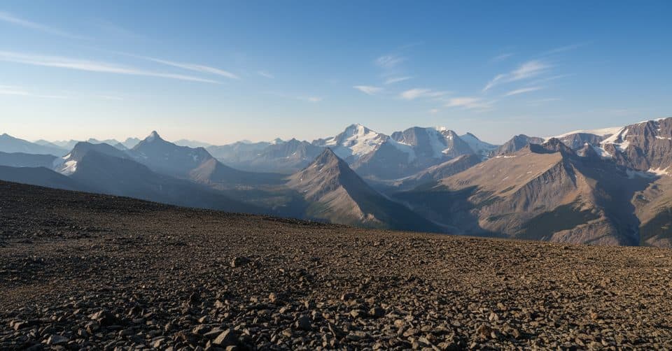
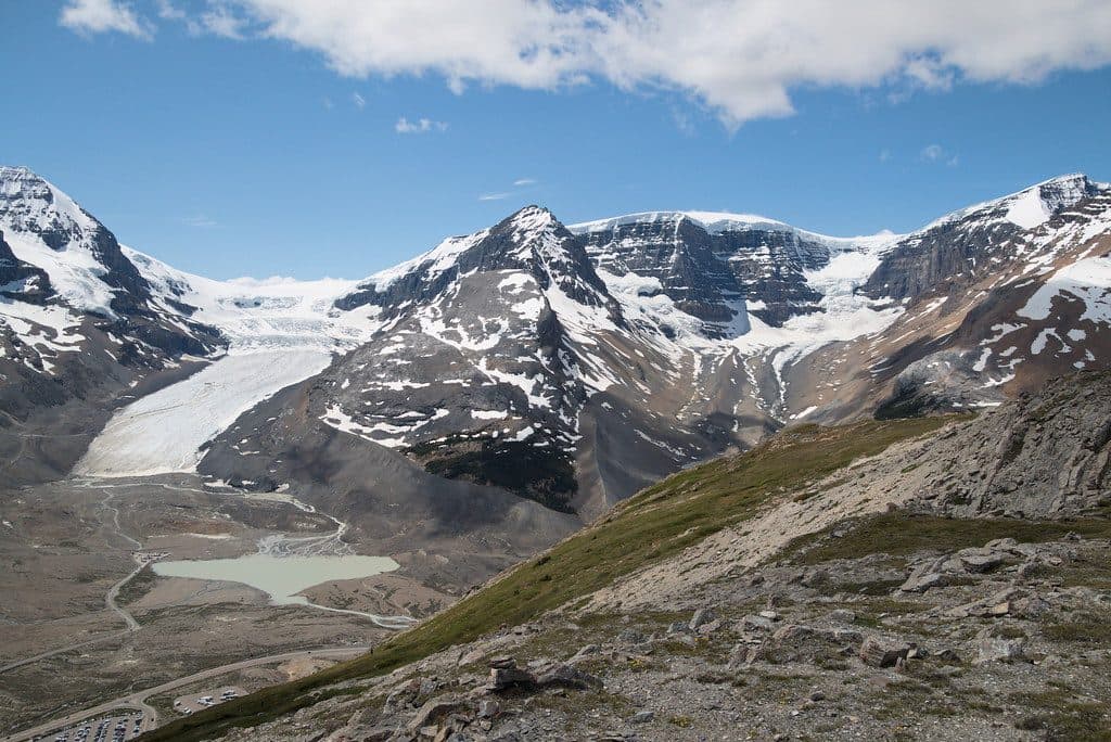
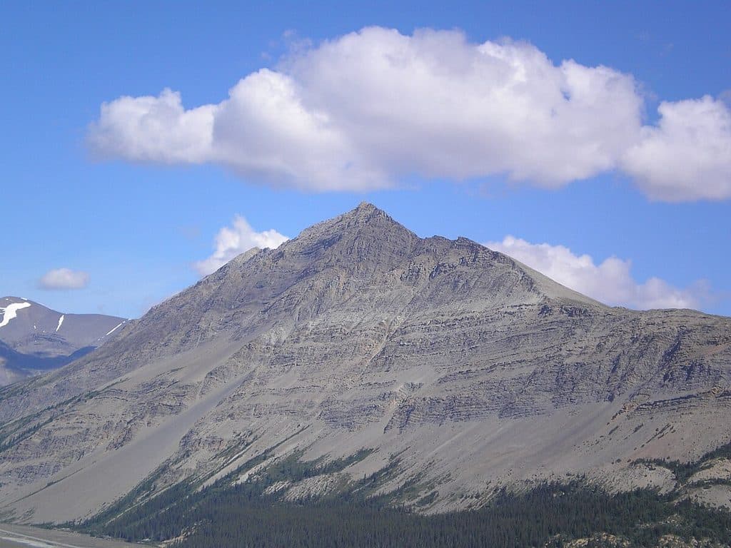
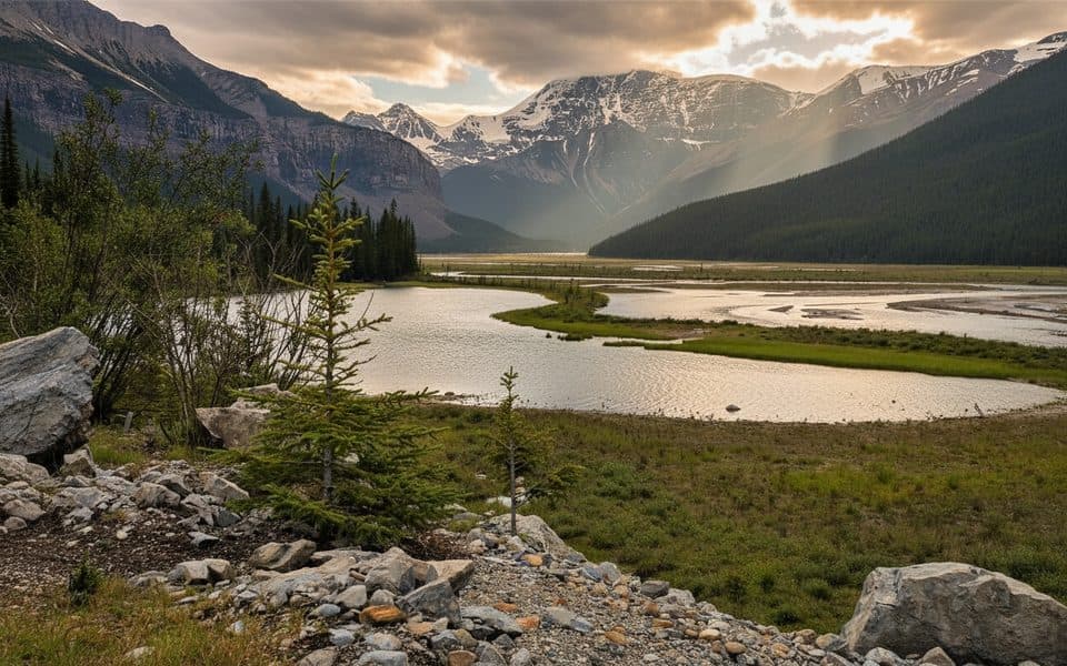
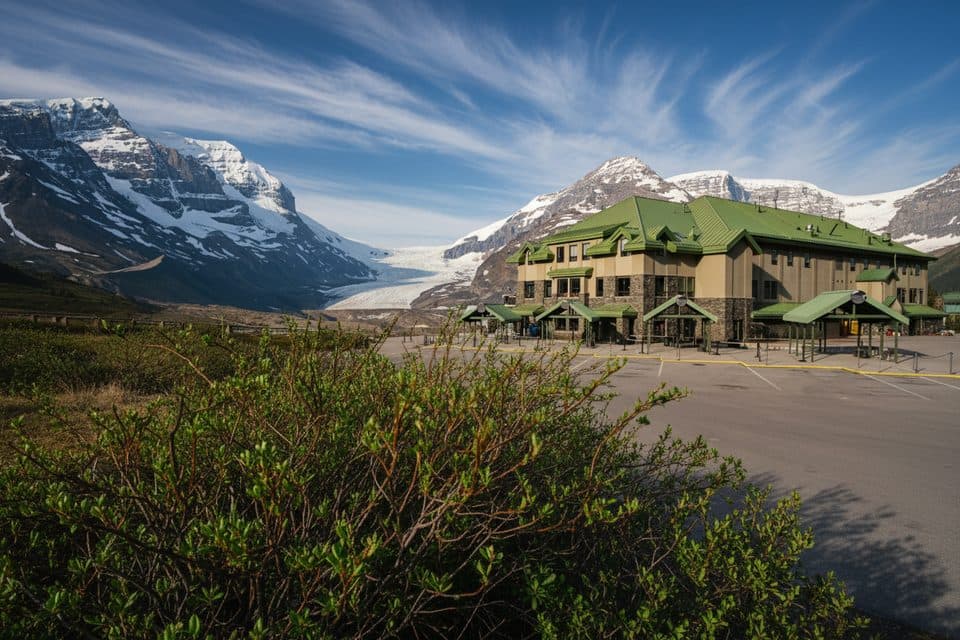
If you want giant-mountain views without ropes, this is your move. Tangle Ridge delivers a true summit feel and a “backstage pass” to the Columbia Icefield—think Mount Athabasca, Snowdome, and even distant Mount Columbia and Mount Alberta—peaks you can’t properly appreciate from the highway.

The experience

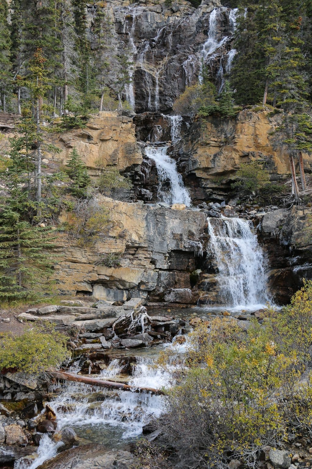
Start at Tangle Falls on the Icefields Parkway and enjoy a quick hit of waterfall energy before the real work begins. The route climbs steeply through dense forest, breaks into open alpine, then turns into a broad, gentle ridge with increasingly loose scree near the top. It’s non‑technical but sustained. Above treeline, expect a faint path marked by cairns and big, uninterrupted views the rest of the way. The payoff is a 3,000‑meter-class summit and a panoramic sweep of glaciated terrain.

This is an out‑and‑back day with a round‑trip distance around 10.6–10.8 km (about 6.6–6.7 miles) and roughly 1,150–1,166 m of cumulative elevation gain. You’ll briefly follow the Wilcox Pass Trail before turning off—watch for cairns—then continue on a less-defined line to the ridge. Bring poles for the scree; they’ll earn their keep on the descent.

Best time to hike

Aim for mid‑ to late‑summer (July–September) when upper slopes are clear of snow. Early starts are smart: you’ll beat crowds at the falls and dodge typical afternoon build‑ups on this very exposed ridge. Shoulder seasons can work for strong, experienced hikers, but expect cold, wind, and lingering snow.

Know before you go

  • Navigation gets real above treeline. Cairns help, but basic route-finding is part of the deal.
  • There’s no water on the ridge—carry what you need. Layers are mandatory; weather flips fast at altitude.
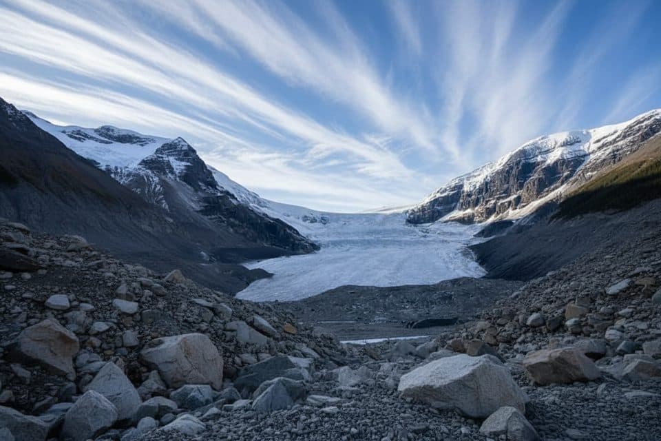
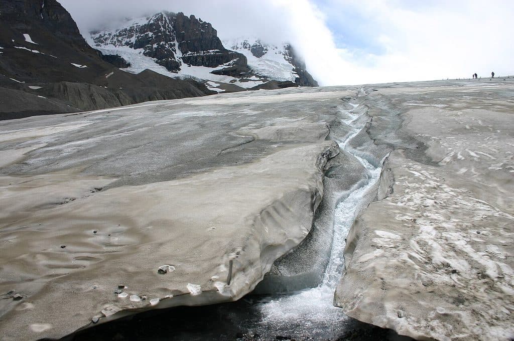
  • Geology fans: you’re standing on classic Canadian Rockies sedimentary rock with front-row views of glacial carving all around.

Bottom line: it’s a strenuous grind with loose footing near the top, but one of the most accessible big-view summits in the Icefield region. If you’re fit and game for a little route-finding, it’s absolutely worth your day.

Pros

  • Summit reveals major peaks largely hidden from the Icefields Parkway
  • One of the most accessible big‑view summits in the Columbia Icefield region

Cons

  • Faint, cairned route above treeline requires route finding
  • Loose scree near the summit makes the descent slow and tedious

Parking

Park at the Tangle Falls/Tangle Creek pullout on the Icefields Parkway (about 7 km north of the Icefield Centre). The route begins near the falls, briefly follows the Wilcox Pass Trail, then turns off at cairns.

Caution

Sustained steep climbing with loose scree; faint route above treeline. Exposed to rapid weather changes and thunderstorms; no water on the ridge. In shoulder seasons, snow and avalanche conditions may apply—check current advisories.

The Parkwolf tour guide sitting on a phone mounted in a car

Parkwolf Tour Guide

Like a tour guide in your car.

Bring Jasper trail research into the car, with offline maps and stories that play as you drive.Download Parkwolf on the App Store