Parking
Park at the Columbia Icefield Discovery Centre; the signed Forefield Trailhead is directly across Highway 93N. Use the designated crossing and follow the signed access rather than walking along the highway.
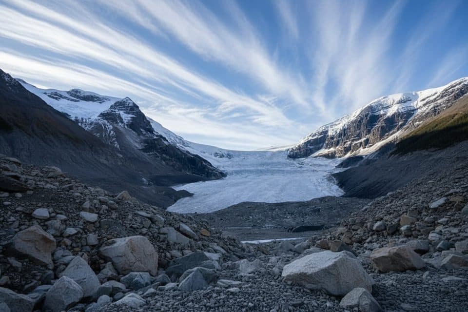
Jasper National Park, AB
A flat, rocky walk across the Athabasca Glacier’s forefield to the Toe of the Glacier connection.
Overview
The Forefield Trail is the longer approach to the Athabasca Glacier experience, starting across from the Columbia Icefield Discovery Centre and crossing rocky ground revealed by the glacier’s retreat. Interpretive signs and year markers make the changing ice immediately visible.
 Parkwolf’s verdictWhy hike it
Map & elevation
Plan your hike

The highest, rockiest slopes around here are a summer buffet for grizzly bears.
Jasper Tour Guide
Parkwolf is a GPS audio tour guide for Jasper National Park. As you drive, it chimes in with what’s ahead: hidden gems, upcoming stops, history, geology, and wildlife, right through your car’s speakers.
See the Jasper audio tourRecorded for this trailhead
Toe of the Athabasca Glacier Trail“You're getting near the parking area for the Toe of the Athabasca Glacier trail. This is the classic short hike that takes you right up to the front edge of the glacier.”
Plays as you drive up to this trailhead in the Parkwolf Jasper Tour Guide.
More stories near here in the app
“Fantastic app with many points of information… It’s great to just turn on while you’re driving and it gives you an audio tour of the national Park. We love it!!!!”


Trail guide
From the Forefield Trailhead across Highway 93N from the Icefield Centre, follow the signed route over open moraine and glacial debris to its connection with the Toe of the Athabasca Glacier trail. It is a mostly flat, exposed walk with loose and uneven footing, wide views toward the Athabasca Glacier, Mount Athabasca, Snow Dome, and Mount Andromeda, and little shelter from wind or sudden weather changes. The stored line follows the complete one-way corridor to the Toe connection; visitors return the same way.
The trail is about 2.2 miles (3.6 km) round trip and usually takes 1–2 hours at a walking, photo, and interpretive-sign pace. This is a moderate route because the terrain is rocky and the exposure and footing matter more than the small elevation change. The Forefield route is distinct from the shorter Toe of the Athabasca Glacier trail, which starts at its own parking area.
Park at the Columbia Icefield Discovery Centre and use the signed Forefield access across Highway 93N. The open moraine can be windy and noticeably colder than the valley; wear sturdy footwear and carry layers. The route is not a paved or stroller-friendly walk, and snow or meltwater can make the rocks slippery. Check current Parks Canada trail conditions before setting out.
Stay on the signed route and behind all ropes or closure markers. Never walk onto the glacier without a certified guide: hidden crevasses and thin snow bridges can be fatal. Keep children and pets close in the exposed glacial terrain, and turn back if weather or visibility deteriorates.
Continue only where the signed trail permits at the Toe of the Athabasca Glacier, or make the shorter Toe trail a separate visit from its designated parking area. The Forefield Trail also pairs naturally with other Columbia Icefield stops along the Icefields Parkway.
Wildlife
 174 sightingsGrizzly BearMost seen around 8 PMSighting map
 43 sightingsCaribouMost seen around 7 AMSighting map
 40 sightingsGray WolfMost seen around 6 AMSighting map
 12 sightingsCanada LynxMost seen around 8 PMSighting map
 315 sightingsMooseMost seen around 6 AMSighting map
 1,028 sightingsElkMost seen around 7 AMSighting map
Sighting maps show where each species has been reported across Jasper. Wildlife moves, so no sighting is guaranteed.
Keep exploring
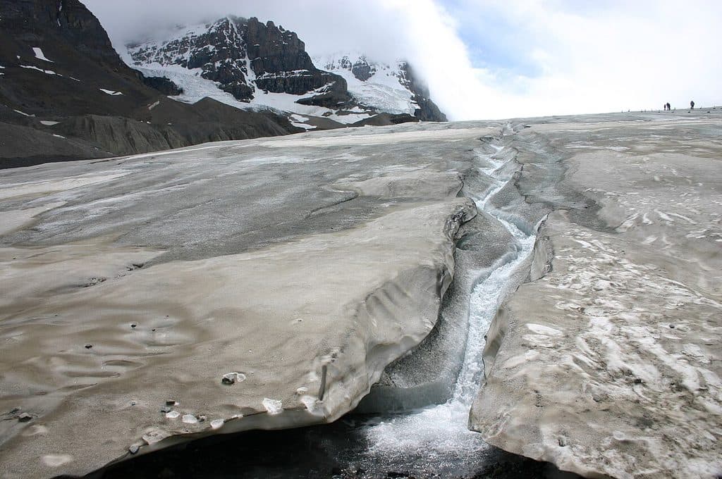 EasyToe of the Athabasca Glacier1.9 km · 1 hr · 0.8 km awayQuick, windswept walk to a roped viewpoint at a famous glacier toe.
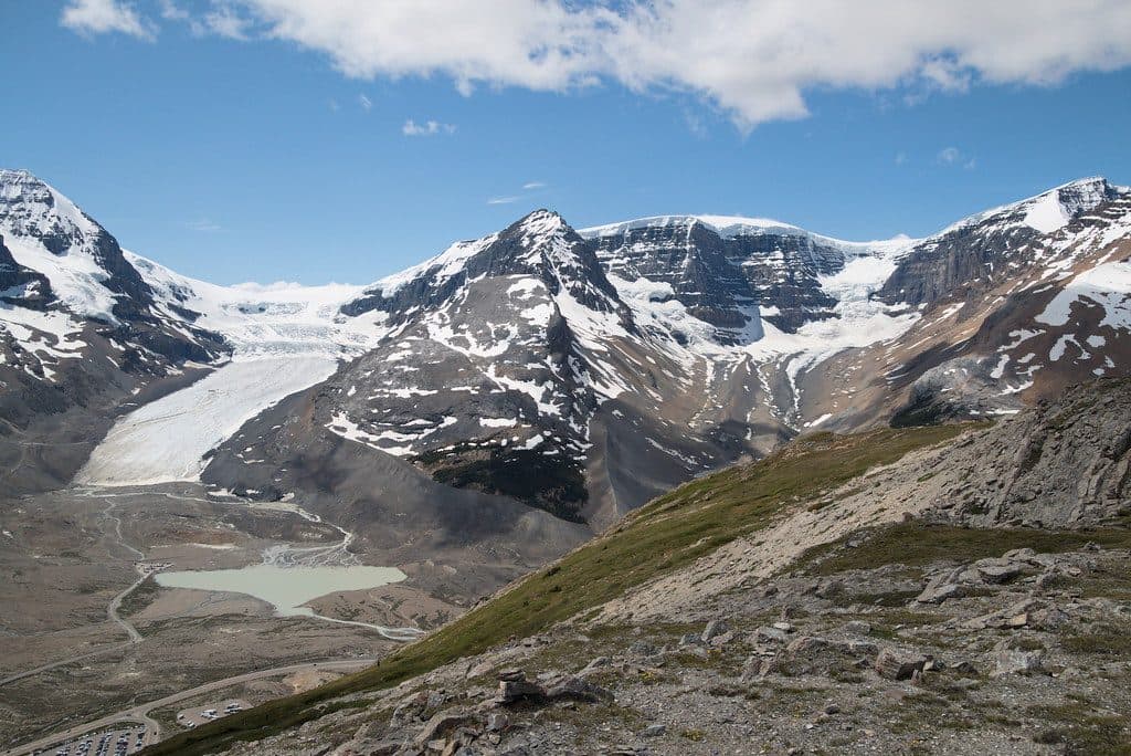 ModerateWilcox Pass Trail9.3 km · 4 hr · 2.7 km awayBig glacier views for moderate effort above the Icefields Parkway.
 ModerateWilcox Ridge Trail9.3 km · 4 hr · 2.7 km awayModerate out-and-back to Wilcox Ridge with Athabasca Glacier and Columbia Icefield views.
 ModerateWilcox Pass8 km · 3 hr · 2.7 km awayGlacier views and open alpine meadows on a moderate out-and-back to Wilcox PassEasyBoundary Lake trail2.9 km · 1.5 hr · 4.4 km awayShort, quiet out-and-back to a turquoise glacial lake at the Banff–Jasper boundary
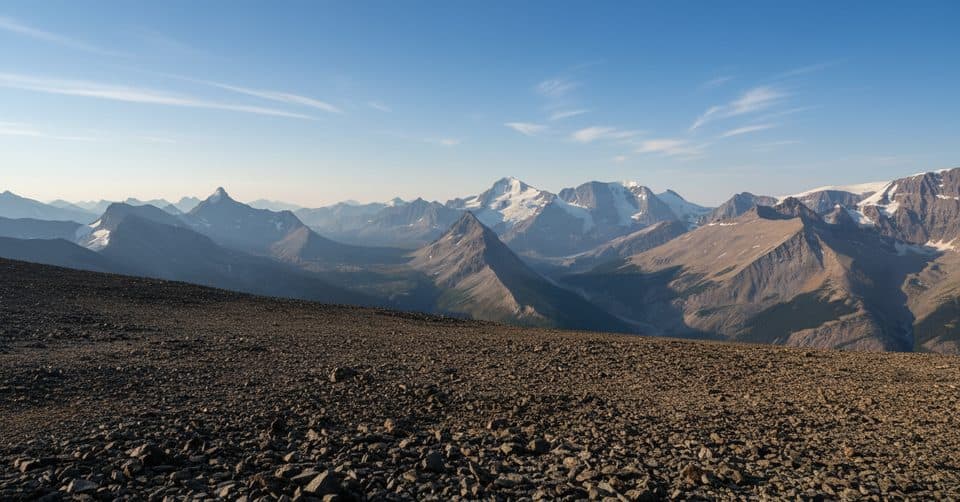 ChallengingTangle Ridge Trail10.7 km · 6 hr · 6.9 km awaySteep, scree-to-summit day with rare Columbia Icefield panoramas
 ChallengingBrazeau Lake Trail81 km · 2 days · 11.1 km away81 km lollipop loop from Nigel Creek over Nigel Pass, Brazeau Lake and three alpine passes
 ChallengingBrazeau Loop81 km · 1.3 days · 11.1 km awayRemote alpine circuit: big passes, turquoise lake, real commitment
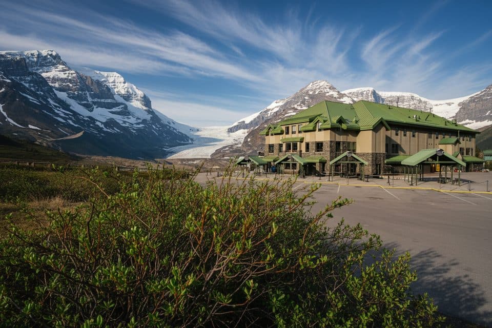 Lodging · 0.3 km awayGlacier View LodgeThe only stay facing Athabasca Glacier, with knockout views
 Sight · 0.3 km awayGlacier GalleryInteractive glacier exhibit at the Columbia Icefield hub
 Visitor center · 0.3 km awayColumbia Icefield Discovery CentreGlacier hub with big views and tours to ice and skywalk
 Sight · 0.8 km awaySunwapta LakeQuiet glacial lake at the headwaters of the Sunwapta River
 Campground · 1.4 km awayIcefield CampgroundTent-only glacier-view camping steps from Athabasca Glacier
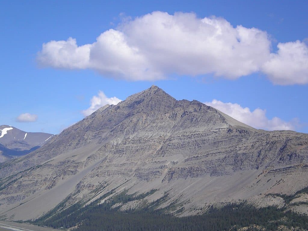 Sight · 3.2 km awayMount WilcoxSummit vantage for sweeping views of Athabasca Glacier and Icefield
 Campground · 3.3 km awayWilcox Creek CampgroundAlpine FCFS campground with big glacier views near Wilcox Pass
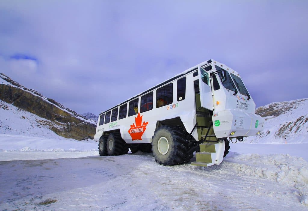 Sight · 3.9 km awayAthabasca GlacierEasiest-access slice of the Columbia Icefield, stark and unforgettable
Parkwolf’s Jasper ranking
The audio tour guide for the drive, plus offline maps, trails, and wildlife heatmaps for when the signal drops.





