Parking
Parking is at the end of Toes of the Glacier Road across from the Icefield Centre; toilets and full services are available at the Centre.
Jasper National Park, AB
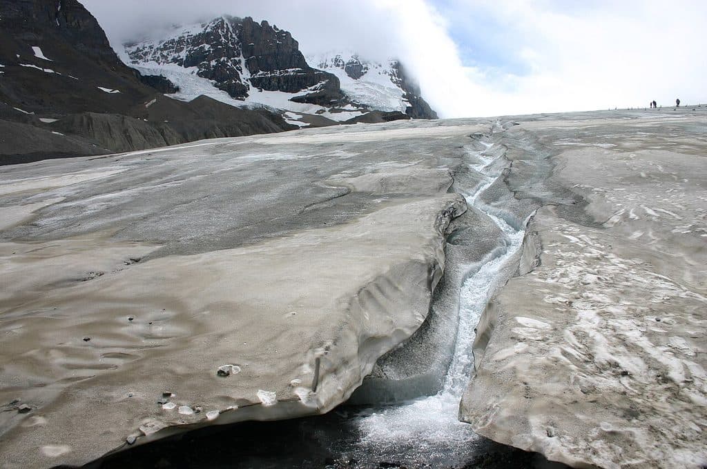
Quick, windswept walk to a roped viewpoint at a famous glacier toe.
Overview
This is the classic short walk to the toe of the Athabasca Glacier. The out-and-back route is about 1.2 miles (1.9 km) round trip with roughly 200 feet (60 m) of elevation gain/loss, and most people take about an hour. You will not walk onto the ice: the public trail ends at the glacier viewpoint and its boundary.
 Parkwolf’s verdictWhy go
Map & elevation
Plan your hike

The highest, rockiest slopes around here are a summer buffet for grizzly bears.
Jasper Tour Guide
Parkwolf is a GPS audio tour guide for Jasper National Park. As you drive, it chimes in with what’s ahead: hidden gems, upcoming stops, history, geology, and wildlife, right through your car’s speakers.
See the Jasper audio tourRecorded for this trailhead
Toe of the Athabasca Glacier Trail“You're getting near the parking area for the Toe of the Athabasca Glacier trail. This is the classic short hike that takes you right up to the front edge of the glacier.”
Plays as you drive up to this trailhead in the Parkwolf Jasper Tour Guide.
More stories near here in the app
“Fantastic app with many points of information… It’s great to just turn on while you’re driving and it gives you an audio tour of the national Park. We love it!!!!”


Trail guide
Start at the trailhead across from the Icefield Centre, at the end of Toes of the Glacier Road. Cross the bridge over a glacial meltwater stream, then follow the signed path across rocky, glacially smoothed limestone and moraine. The trail steepens to the top of a rock bench, with the glacier edge ahead. The mapped route includes a short loop around the final rocky section; return by the same trail.
Year-marked signs show how far the glacier extended in past decades. Along the way are moraines, erratics, and bedrock scored by glacial ice, with views toward Mount Athabasca, Mount Andromeda, and the Columbia Icefield. Expect cold wind and meltwater sounds even on a warm day.
Stay on the signed path and behind barriers. The ice at the toe is hollow and unstable, with hidden crevasses and very cold, fast-moving water; never walk onto the glacier. The trail is rocky and can be slick or wet where meltwater crosses it, so wear sturdy footwear and bring warm layers. Dogs are allowed on leash. Parking is at the trailhead, and toilets and other services are available at the nearby Icefield Centre.
Wildlife
 174 sightingsGrizzly BearMost seen around 8 PMSighting map
 43 sightingsCaribouMost seen around 7 AMSighting map
 40 sightingsGray WolfMost seen around 6 AMSighting map
 12 sightingsCanada LynxMost seen around 8 PMSighting map
 315 sightingsMooseMost seen around 6 AMSighting map
 1,028 sightingsElkMost seen around 7 AMSighting map
Sighting maps show where each species has been reported across Jasper. Wildlife moves, so no sighting is guaranteed.
Keep exploring
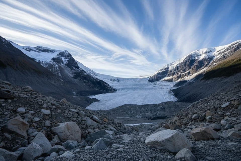 ModerateAthabasca Glacier Forefield Trail3.5 km · 1.5 hr · 0.8 km awayA flat, rocky walk across the Athabasca Glacier’s forefield to the Toe of the Glacier connection.
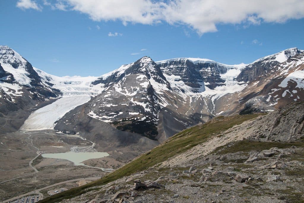 ModerateWilcox Pass Trail9.3 km · 4 hr · 3.3 km awayBig glacier views for moderate effort above the Icefields Parkway.
 ModerateWilcox Ridge Trail9.3 km · 4 hr · 3.3 km awayModerate out-and-back to Wilcox Ridge with Athabasca Glacier and Columbia Icefield views.
 ModerateWilcox Pass8 km · 3 hr · 3.3 km awayGlacier views and open alpine meadows on a moderate out-and-back to Wilcox PassEasyBoundary Lake trail2.9 km · 1.5 hr · 5 km awayShort, quiet out-and-back to a turquoise glacial lake at the Banff–Jasper boundary
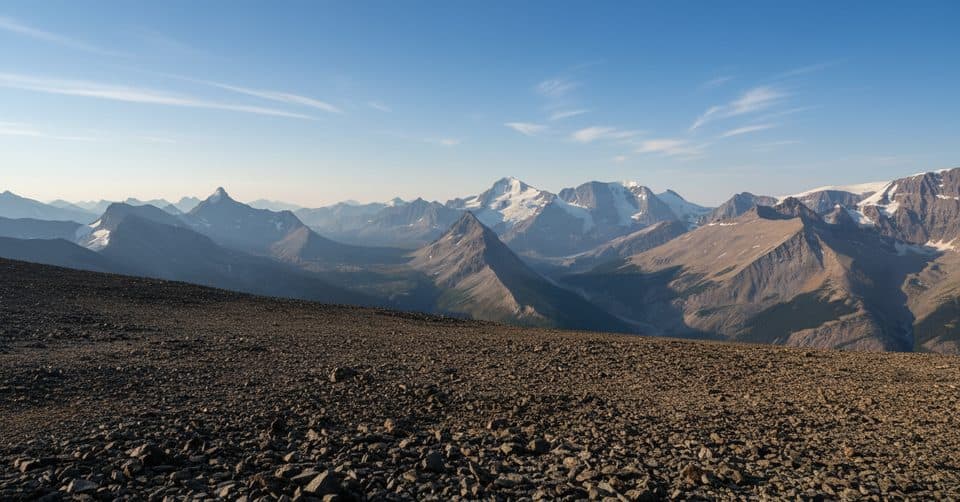 ChallengingTangle Ridge Trail10.7 km · 6 hr · 7.1 km awaySteep, scree-to-summit day with rare Columbia Icefield panoramas
 ChallengingBrazeau Lake Trail81 km · 2 days · 11.5 km away81 km lollipop loop from Nigel Creek over Nigel Pass, Brazeau Lake and three alpine passes
 ChallengingBrazeau Loop81 km · 1.3 days · 11.5 km awayRemote alpine circuit: big passes, turquoise lake, real commitment
 Sight · 0.3 km awaySunwapta LakeQuiet glacial lake at the headwaters of the Sunwapta River
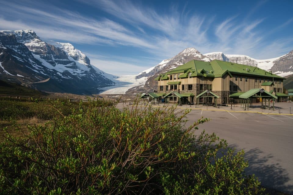 Lodging · 1 km awayGlacier View LodgeThe only stay facing Athabasca Glacier, with knockout views
 Sight · 1 km awayGlacier GalleryInteractive glacier exhibit at the Columbia Icefield hub
 Visitor center · 1 km awayColumbia Icefield Discovery CentreGlacier hub with big views and tours to ice and skywalk
 Campground · 2.1 km awayIcefield CampgroundTent-only glacier-view camping steps from Athabasca Glacier
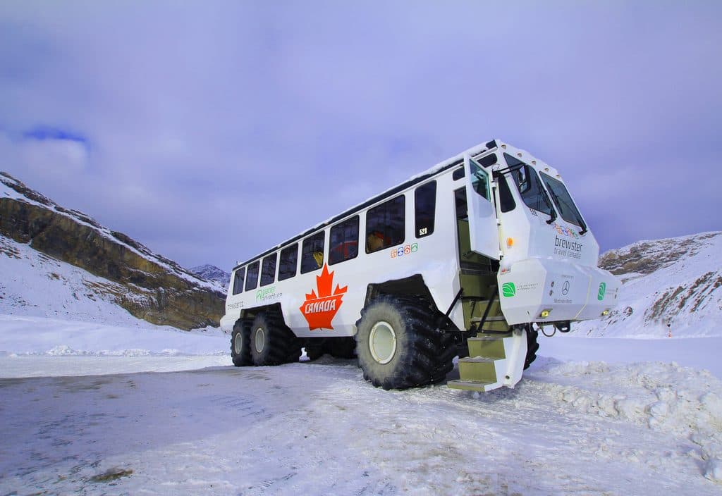 Sight · 3.1 km awayAthabasca GlacierEasiest-access slice of the Columbia Icefield, stark and unforgettable
 Sight · 3.1 km awayColumbia IcefieldMassive glacier complex with tours, big views, and sobering retreat
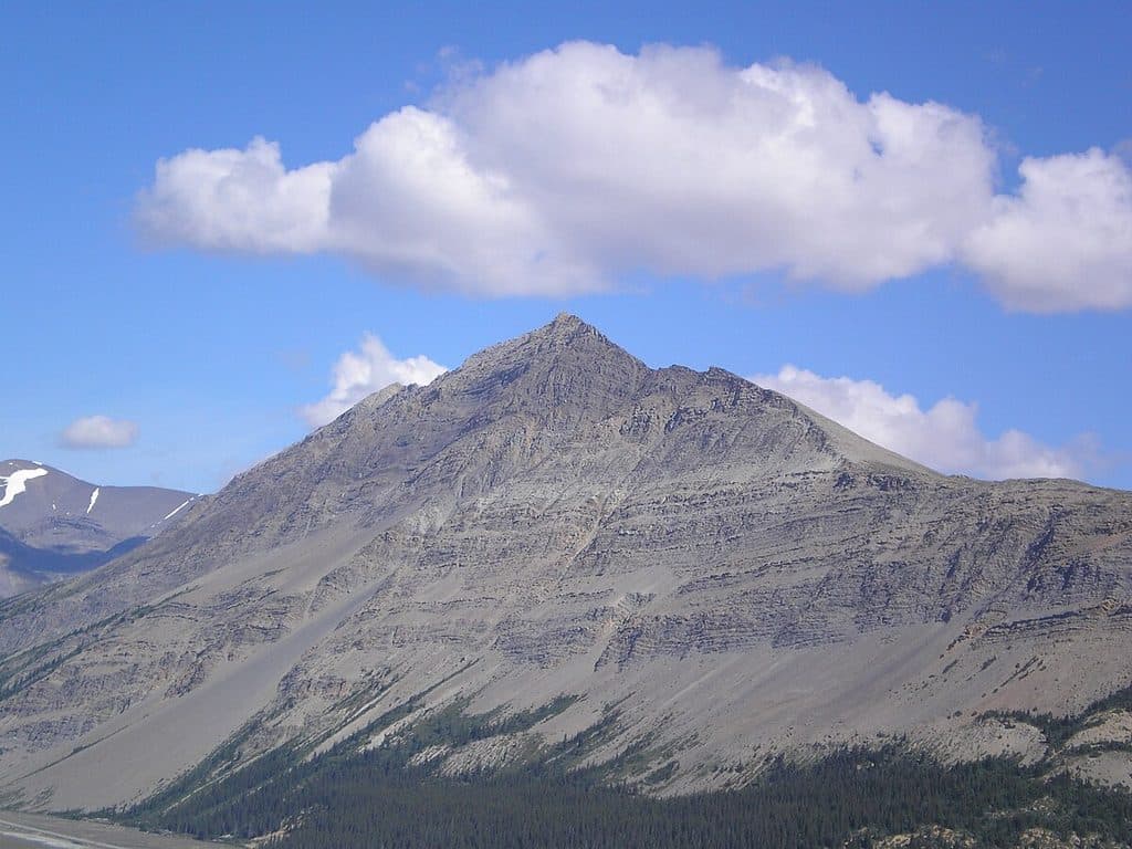 Sight · 3.6 km awayMount WilcoxSummit vantage for sweeping views of Athabasca Glacier and Icefield
Parkwolf’s Jasper ranking
The audio tour guide for the drive, plus offline maps, trails, and wildlife heatmaps for when the signal drops.





