Access
The building has ramp access, a push-button door, and adjacent parking. The washrooms are in a separate building across the road from the Information Centre.
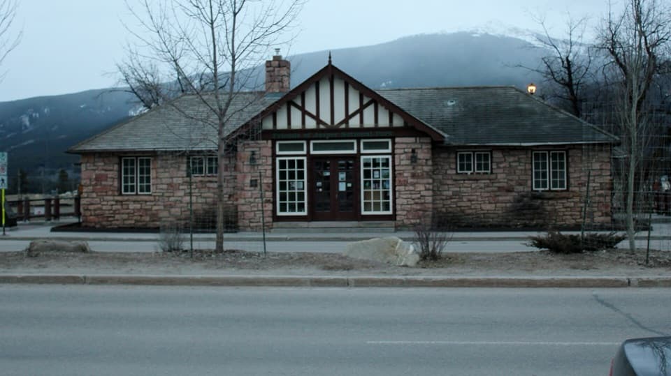
Restroom · Jasper National Park
An accessible restroom in Jasper’s former Rescue Building.
Photo: Jeffery J. Nichols, CC BY-SA 4.0, via Wikimedia Commons
Map
Plan your stop

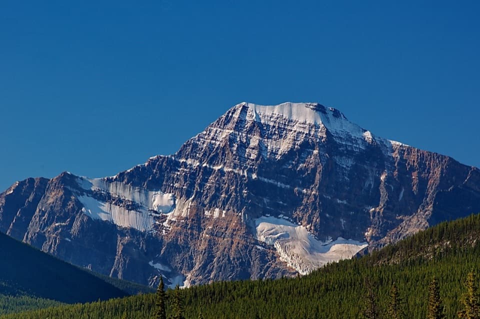
The highest, rockiest slopes around here are a summer buffet for grizzly bears.
Jasper Tour Guide
Parkwolf is a GPS audio tour guide for Jasper National Park. As you drive, it chimes in with what’s ahead: hidden gems, upcoming stops, history, geology, and wildlife, right through your car’s speakers.
See the Jasper audio tourRecorded for this place
Jasper Town Centre: Park Advice and Railway History“You're approaching Jasper's town centre, with the Information Centre and railway station facing each other across Connaught Drive. Stop at the Information Centre if you need maps, park passes or help choosing an outing.”
Plays as you drive up to Rescue Building Public Washrooms in the Parkwolf Jasper Tour Guide.
More stories near here in the app
“Fantastic app with many points of information… It’s great to just turn on while you’re driving and it gives you an audio tour of the national Park. We love it!!!!”


Guide
This is the public washroom building at 416 Connaught Drive, across from Jasper’s Information Centre. It occupies the former Rescue Building, a one-storey stone structure with a half-timbered front gable. Use it when you need a town restroom; it is not an attraction to detour for.
Built in 1949 as a tourist information bureau with public lavatories, it served a growing flow of motorists after the Banff-Jasper and Yellowhead highways opened in the 1940s. Its stone walls and half-timbered gable follow the park’s Rustic Tudor Revival style. The nearby 1925 railway station keeps the building’s earlier travel context close at hand.
Wildlife
 175 sightingsGrizzly BearMost seen around 8 PMSighting map
 43 sightingsCaribouMost seen around 7 AMSighting map
 41 sightingsGray WolfMost seen around 6 AMSighting map
 12 sightingsCanada LynxMost seen around 8 PMSighting map
 320 sightingsMooseMost seen around 6 AMSighting map
 1,048 sightingsElkMost seen around 7 AMSighting map
Sighting maps show where each species has been reported across Jasper. Wildlife moves, so no sighting is guaranteed.
Keep exploring
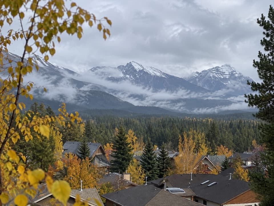 EasyJasper Discovery Trail8.3 km · 2.5 hr · 0.1 km awayA town loop for Jasper views, history, and an easy outing.
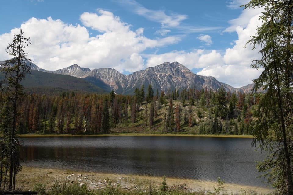 ModerateMina-Riley Lakes Loop9 km · 3.5 hr · 0.4 km awayA wetland circuit links two Mina Lakes with Riley Lake.
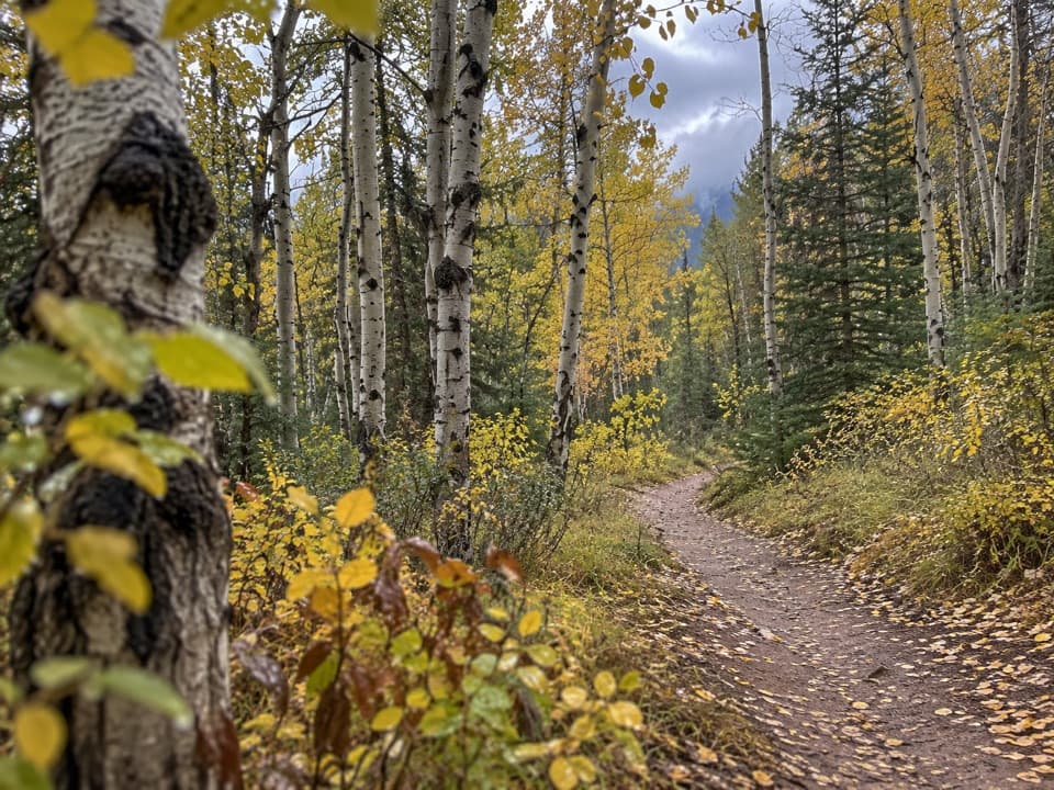 ModeratePyramid Trail11.4 km · 3.5 hr · 0.4 km awayA broad forested climb links Jasper with the Pyramid Bench lakes.
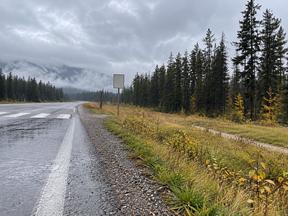 EasyCampgrounds Trail4.7 km · 1.3 hr · 0.5 km awayAn easy riverside link from Jasper to its campgrounds.
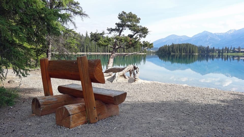 EasyLakes Loop Trail13.9 km · 2.5 hr · 0.5 km awayA gentle town loop links Jasper with three lakes and beaches.
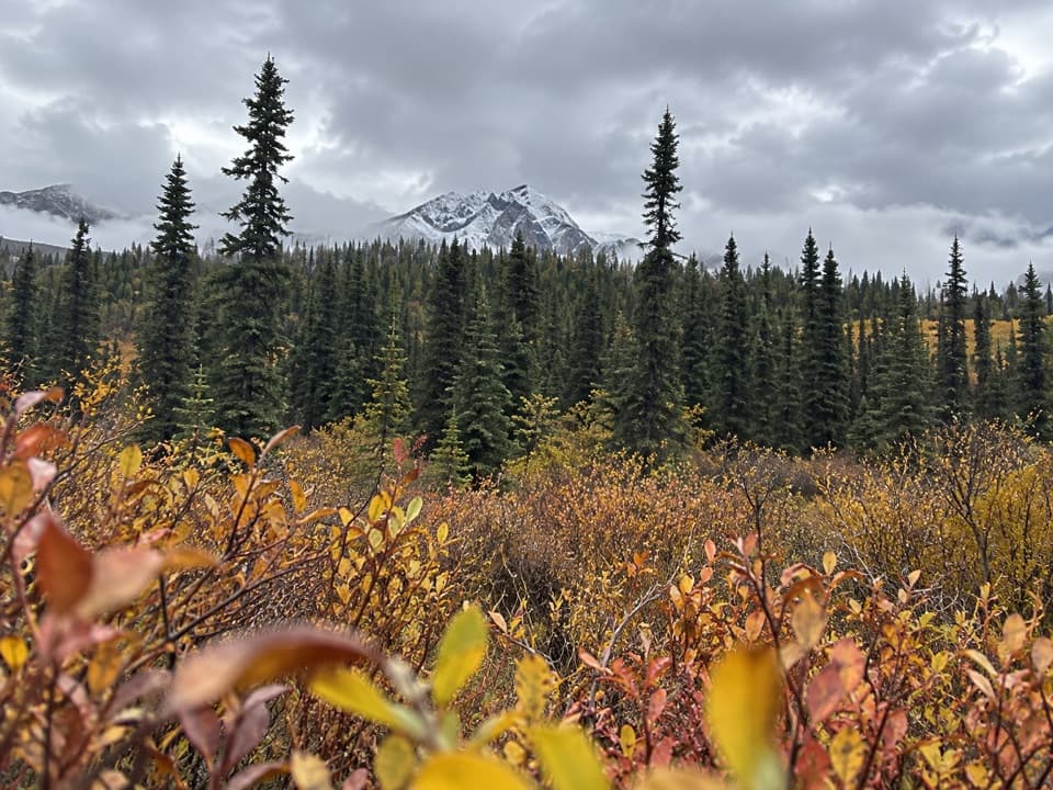 ModerateCottonwood Creek Loop5.1 km · 1.5 hr · 0.5 km awayClimb to a town view, then return beside Cottonwood Creek.
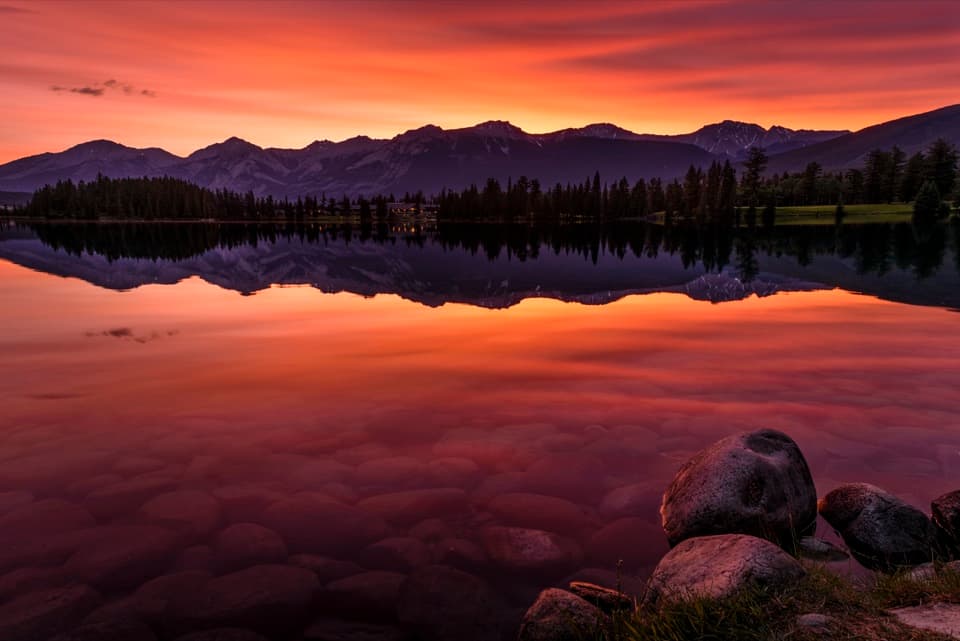 EasyLac Beauvert Loop3.5 km · 1.3 hr · 1.1 km awayEasy lakeshore miles with mountain reflections along the way.
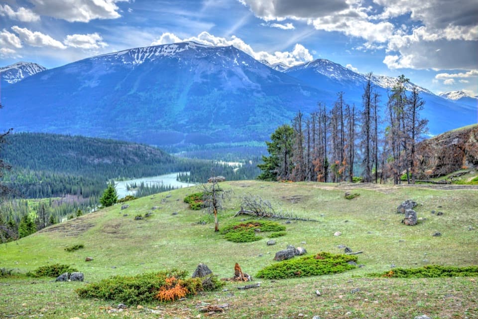 ModerateOld Fort Point Loop3.8 km · 1.3 hr · 1.4 km awayA short climb, a sweeping view over Jasper and the Athabasca
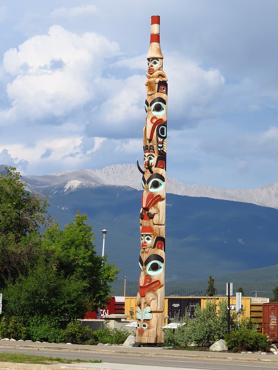 Sight · At the trailheadTwo Brothers Totem PoleA 43-foot Haida carving with a story worth stopping to read.
 Visitor center · 0.1 km awayJasper Information CentrePick up passes and park advice inside a stone-and-log landmark.
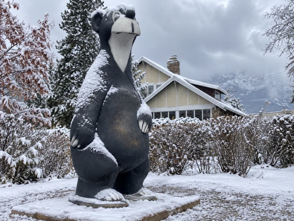 Sight · 0.1 km awayJasper the Bear StatueMeet Jasper's bear mascot on a quick downtown photo stop.
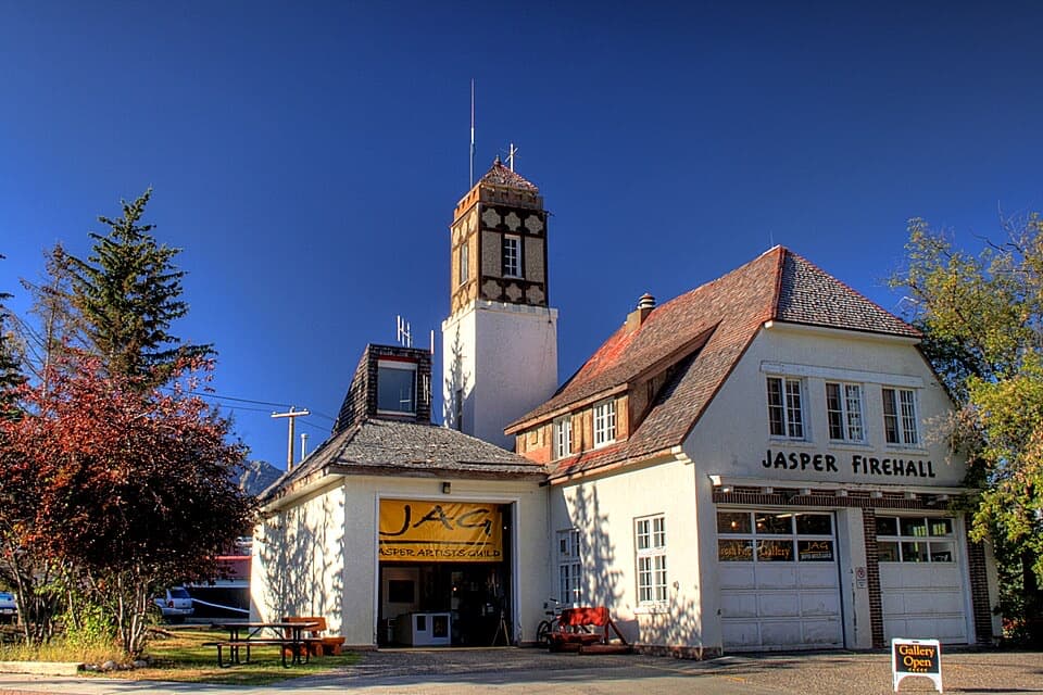 Sight · 0.1 km awayJasper Fire HallA 1930s fire hall with a corner tower and uneven gables.
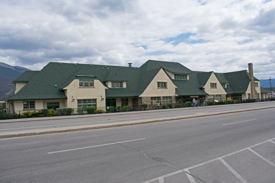 Sight · 0.1 km awayJasper Railway StationA working heritage depot with Jasper's railway story on display.
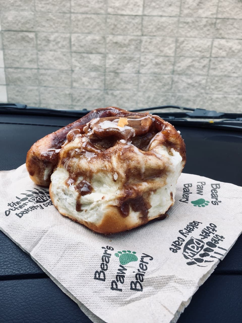 Food · 0.2 km awayBear’s Paw BakerySticky buns and pastries make an easy grab-and-go breakfast.
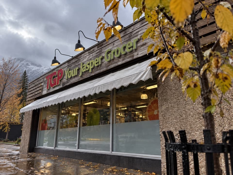 Store · 0.2 km awayTGP Your Jasper GrocerA handy town stop for groceries before you head out.
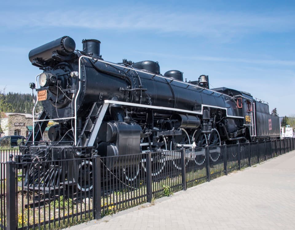 Sight · 0.3 km awayCN Locomotive 6015An easy in-town stop to see a full-size 1923 steam engine.
Parkwolf’s Jasper ranking

The audio tour guide for the drive, plus offline maps, trails, and wildlife heatmaps for when the signal drops.