Parking
Start at the Jasper Activity Centre parking lot near the beginning of Pyramid Lake Road.
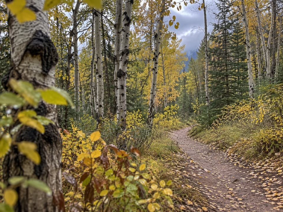
Jasper National Park, AB
A broad forested climb links Jasper with the Pyramid Bench lakes.
Overview
Map & elevation
Plan your hike

The highest, rockiest slopes around here are a summer buffet for grizzly bears.
Jasper Tour Guide
Parkwolf is a GPS audio tour guide for Jasper National Park. As you drive, it chimes in with what’s ahead: hidden gems, upcoming stops, history, geology, and wildlife, right through your car’s speakers.
See the Jasper audio tourRecorded for this trailhead
Jasper-Yellowhead Museum: Objects from the Past“The Jasper-Yellowhead Museum and Archives is coming up, across from the Activity Centre on Bonhomme Street. Stop here if you'd like to put some people and stories behind the mountain scenery.”
Plays as you drive up to this trailhead in the Parkwolf Jasper Tour Guide.
More stories near here in the app
“Fantastic app with many points of information… It’s great to just turn on while you’re driving and it gives you an audio tour of the national Park. We love it!!!!”


Trail guide
Pyramid Trail, also called Trail 15, is a broad gravel connector from the Jasper Activity Centre toward the Pyramid Bench lake network. From the Activity Centre parking lot, this record follows the mapped approach along Pyramid Lake Road and the full named Trail 15 path as an out-and-back of about 11.4 km (7.1 miles). Allow about three to four hours for the return walk. It is a straightforward way to leave town on foot, with a steady climb through forest rather than a summit destination.
The first stretch follows the road approach to Trail 15. The named path is wide, forested gravel and climbs gradually toward the trail network above Patricia and Pyramid Lakes. It gives access to the Pyramid Bench system; the lake shore loops and the Pyramid Overlook Loop are separate walks, so do not count those optional routes in this distance.
Published figures differ: one gives 5.2 km one way, while another lists 10.5 km return. The complete mapped line from the named parking lot through the road approach to the north end of the Trail 15 path measures about 5.7 km one way. This guide uses the full line shown here, about 11.4 km round trip; the published difference may reflect how the access approach is counted. The published 1-to-2-hour time does not say whether it is one way, so plan from the full return distance instead.
Hikers share the connector with bicycles and horses. Dogs may accompany you on this route, but they must stay under control on a leash no longer than three metres.
Wildlife
 175 sightingsGrizzly BearMost seen around 8 PMSighting map
 43 sightingsCaribouMost seen around 7 AMSighting map
 41 sightingsGray WolfMost seen around 6 AMSighting map
 12 sightingsCanada LynxMost seen around 8 PMSighting map
 320 sightingsMooseMost seen around 6 AMSighting map
 1,048 sightingsElkMost seen around 7 AMSighting map
Sighting maps show where each species has been reported across Jasper. Wildlife moves, so no sighting is guaranteed.
Keep exploring
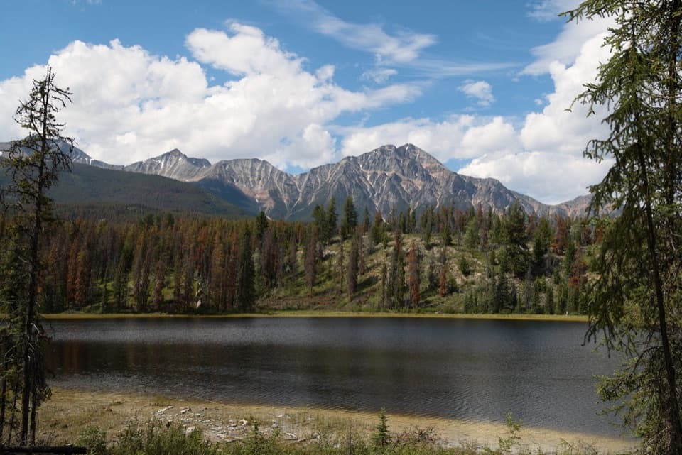 ModerateMina-Riley Lakes Loop9 km · 3.5 hr · At the trailheadA wetland circuit links two Mina Lakes with Riley Lake.
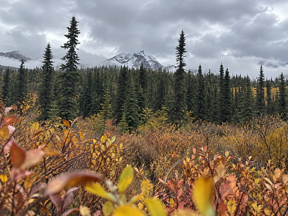 ModerateCottonwood Creek Loop5.1 km · 1.5 hr · 0.1 km awayClimb to a town view, then return beside Cottonwood Creek.
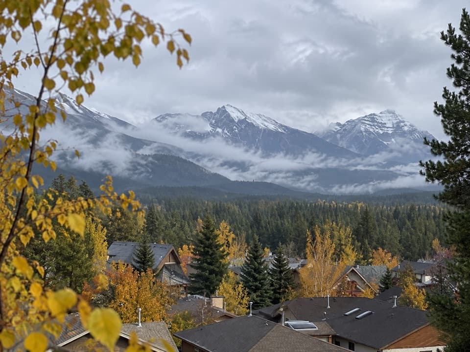 EasyJasper Discovery Trail8.3 km · 2.5 hr · 0.5 km awayA town loop for Jasper views, history, and an easy outing.
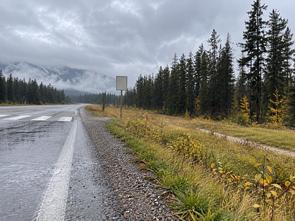 EasyCampgrounds Trail4.7 km · 1.3 hr · 0.7 km awayAn easy riverside link from Jasper to its campgrounds.
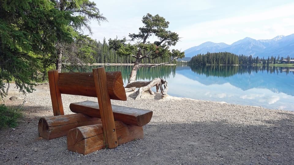 EasyLakes Loop Trail13.9 km · 2.5 hr · 0.8 km awayA gentle town loop links Jasper with three lakes and beaches.
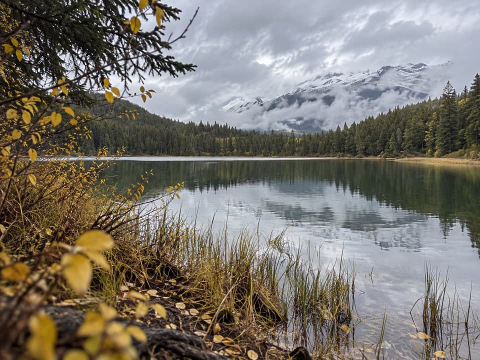 ModerateCabin Lake Trail6.8 km · 2.3 hr · 1.3 km awayA forest fire road ends at a quiet lake near Jasper.
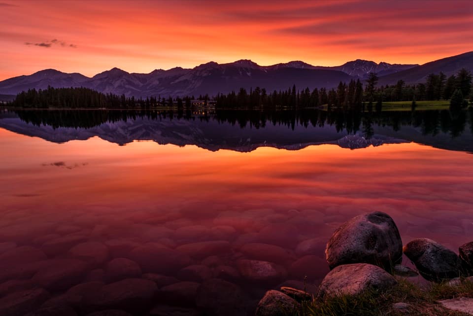 EasyLac Beauvert Loop3.5 km · 1.3 hr · 1.4 km awayEasy lakeshore miles with mountain reflections along the way.
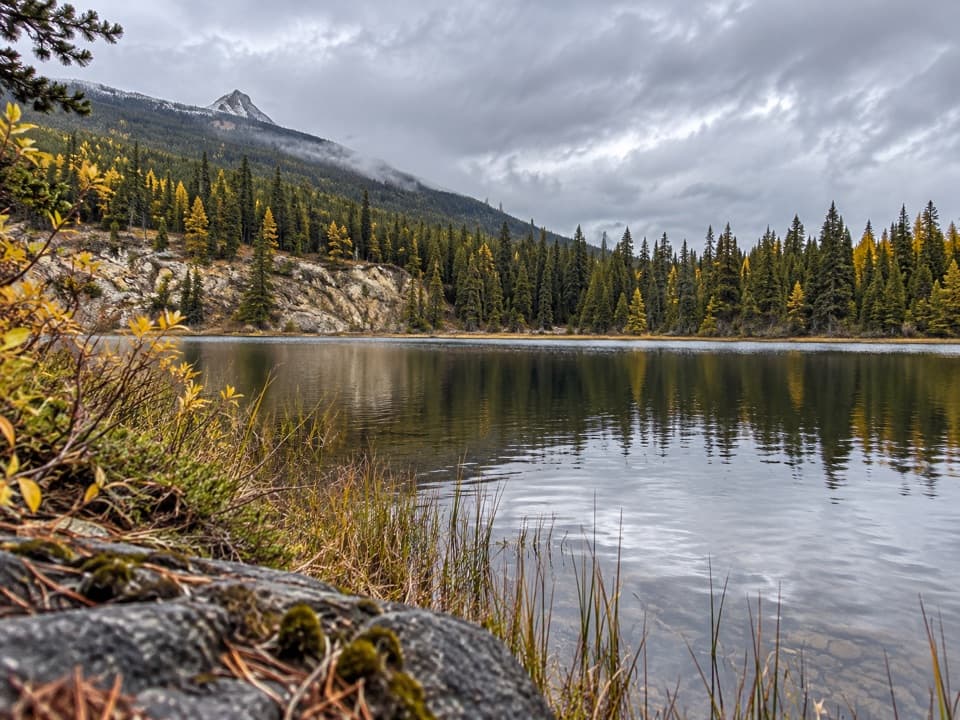 ModerateSaturday Night Lake Loop24.6 km · 8 hr · 1.4 km awayA long wooded lake loop with steep climbs and muddy stretches.
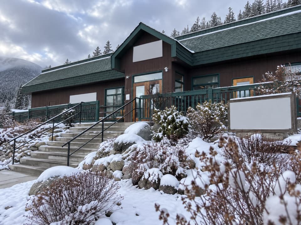 Sight · 0.1 km awayJasper-Yellowhead Museum and ArchivesSee Jasper’s mountain and railway past through remarkable local artifacts.
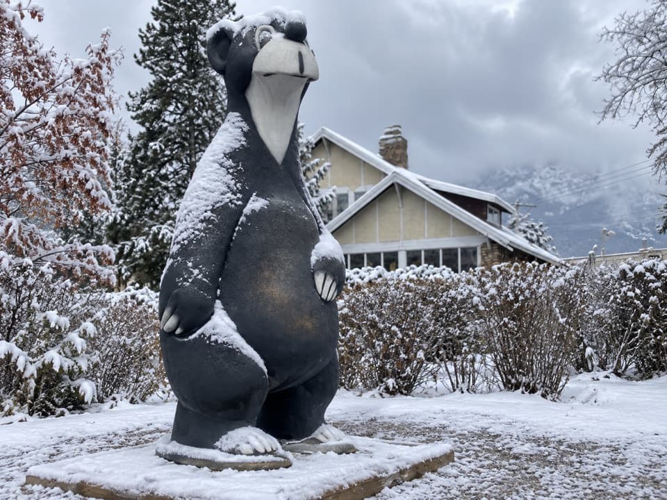 Sight · 0.3 km awayJasper the Bear StatueMeet Jasper's bear mascot on a quick downtown photo stop.
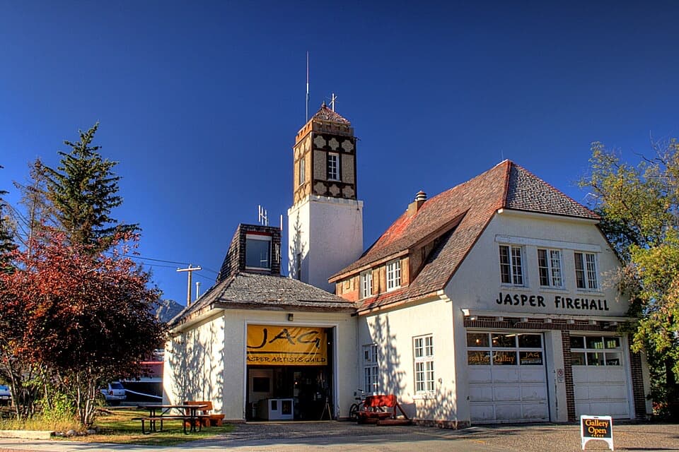 Sight · 0.3 km awayJasper Fire HallA 1930s fire hall with a corner tower and uneven gables.
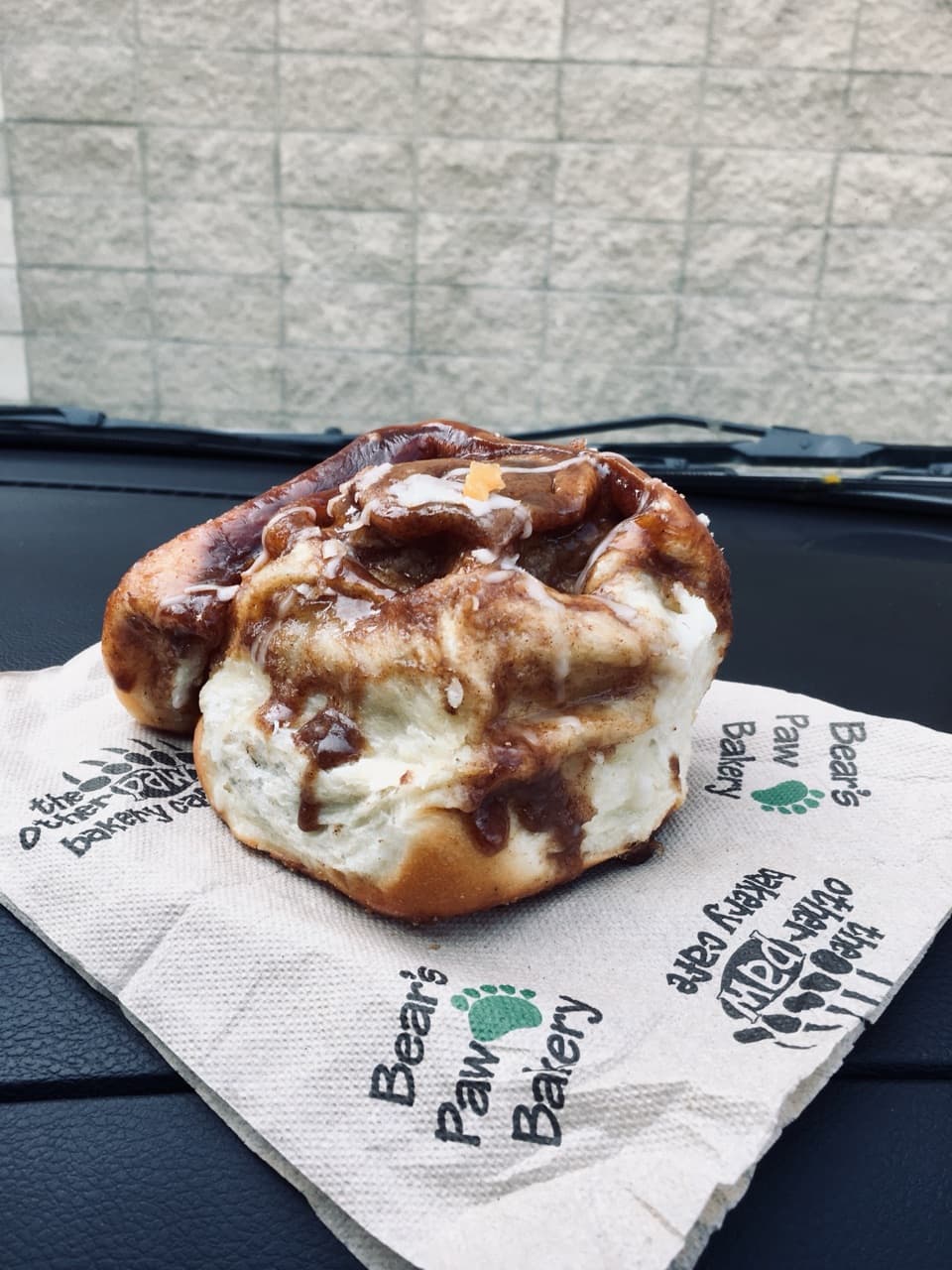 Food · 0.3 km awayBear’s Paw BakerySticky buns and pastries make an easy grab-and-go breakfast.
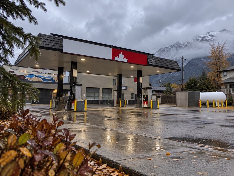 Gas station · 0.4 km awayPetro-Canada — JasperFuel up in town before a long Icefields Parkway drive.
 Visitor center · 0.4 km awayJasper Information CentrePick up passes and park advice inside a stone-and-log landmark.
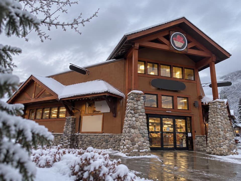 Store · 0.4 km awayNesters MarketA handy town stop for groceries before heading out to camp.
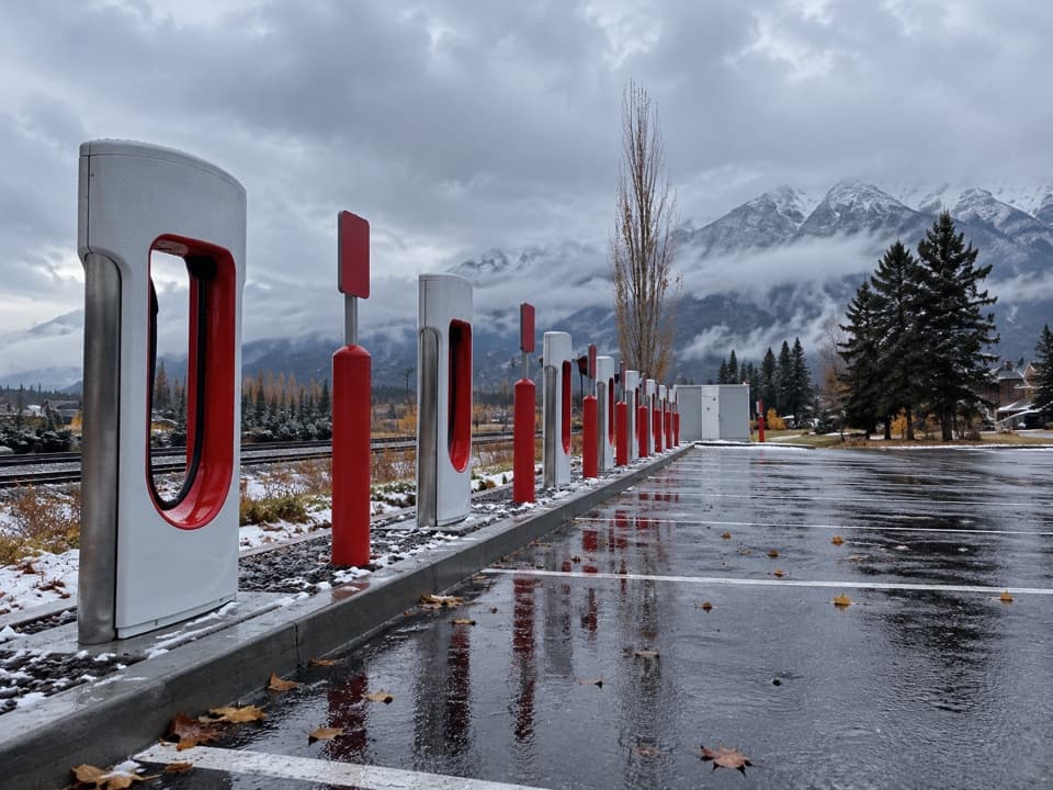 0.4 km awayJasper Tesla SuperchargerEight high-power chargers beside the railway, with groceries close by.
Parkwolf’s Jasper ranking

The audio tour guide for the drive, plus offline maps, trails, and wildlife heatmaps for when the signal drops.





