Moderate

Old Fort Point Loop

Short, steep loop with Jasper’s best bang-for-buck valley views
Old Fort Point Loop, Jasper National Park
Distance2.4 mi
Typical time1.3 hr
DifficultyModerate
PetsAllowed

Why hike it

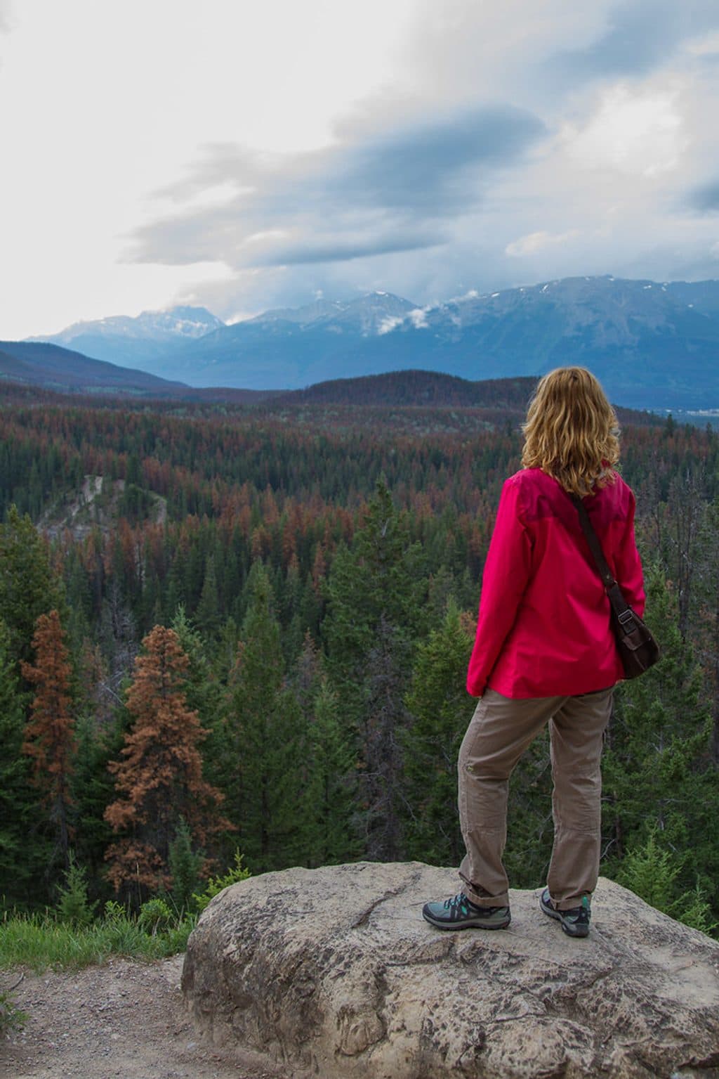
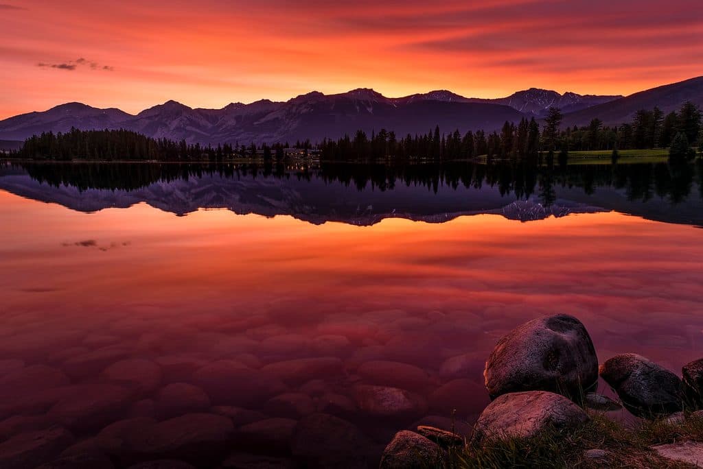
If you want huge views without blowing your whole day, Old Fort Point delivers. This 3.8 km (2.4-mile) loop climbs quickly to sweeping, 360-degree vistas over the Jasper townsite, the Athabasca River, Lac Beauvert, and big-name peaks. It’s a true “bang-for-buck” hike: close to town, short, and scenic—just expect a few steep, rocky pulls.

The route and feel

Marked as Trail 1/1a, the loop starts near the Athabasca River and heads through quiet forest before popping onto open rock. Hike it clockwise so you gain the steep trail and descend the wooden stairs at the end (and keep the best lookouts in front of you). Counter-clockwise means a stair climb right off the bat. Early on there’s a rocky outcrop with a real drop-off—keep kids close here. Underfoot you’ll see dirt singletrack, sections of bedrock, some loose rock on steeper pitches, and a sturdy staircase near the parking area.

What you’ll see

From the high points, you can pick out the Jasper SkyTram terminal on Whistlers Mountain, the Jasper townsite across the river, Lac Beauvert and the Fairmont Jasper Park Lodge, plus Pyramid Mountain and Mt. Edith Cavell on the skyline. Watch for Parks Canada red chairs on a short side spur—perfect for a sit-and-soak-it-in moment. The hill itself is textbook geology: a roche moutonnée—rounded on one side, cliffy on the other—capped by a massive limestone slab shaped by ancient ice.

Nature notes

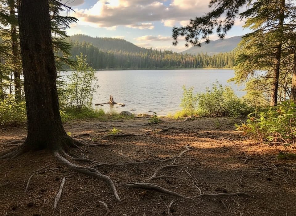
Forest sections host summer wildflowers and mossy rocks, and the open top can be breezy. Elk are commonly spotted in the area and bears do pass through—bear warning signs and scat aren’t unusual. Birds are active along the river corridor.

Logistics and tips

  • Total distance is a loop (no shuttle needed), with about 130 m (~425 ft) of elevation gain. Most hikers take 1–1.5 hours.
  • Footing can be steep and rocky—wear grippy shoes. Parts of the loop are shared with mountain bikes; stay alert.
  • Facilities are limited to pit toilets at the trailhead. The loop is well signed with maps and trail numbers.
  • This is a great “arrival day” leg-stretcher or a sunset lap when the light is soft and crowds thin.

Best time to hike

Late spring through early fall is prime. Summer brings the clearest views and peak wildflowers (July). In early spring and late autumn, expect slippery or icy patches—trekking poles help. Go early morning or late afternoon for calmer parking, better light, and fewer people.

Worth it?

Absolutely—if you’re up for short, steep bursts and some exposure. If that’s not your style, consider one of the longer valley trails. But for fast access to big Jasper scenery and cool glacial geology minutes from town, Old Fort Point is a standout.

Pros

  • Classic roche moutonnée and limestone summit—geology you can stand on
  • Red chairs viewpoint on a short spur for a quiet sit with the views

Cons

  • Early rocky outcrop has real drop-off exposure—stressful with small kids
  • Shared sections with mountain bikes can feel busy in peak season

Parking

Dedicated lot off Old Fort Point Road just across the bridge from Jasper; trailhead sign by the lot and a wooden staircase connects to the loop. Pit toilets at the trailhead.

Caution

Short, steep sections with loose rock and early-dropoff exposure; bears frequent the area—carry spray. Parts of the loop are shared with bikes. Expect ice in shoulder seasons.

The Parkwolf tour guide sitting on a phone mounted in a car

Parkwolf Tour Guide

Like a tour guide in your car.

Bring Jasper trail research into the car, with offline maps and stories that play as you drive.Download Parkwolf on the App Store