Parking
There are several Jasper Townsite and Old Fort Point access points rather than one fixed Lakes Loop lot. Use the connector map to choose a nearby public parking area for your preferred start.
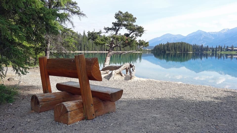
Jasper National Park, AB
A gentle town loop links Jasper with three lakes and beaches.
Photo: Suwannee.payne, CC BY-SA 3.0, via Wikimedia Commons
Overview
Map & elevation
Plan your hike

The highest, rockiest slopes around here are a summer buffet for grizzly bears.
Jasper Tour Guide
Parkwolf is a GPS audio tour guide for Jasper National Park. As you drive, it chimes in with what’s ahead: hidden gems, upcoming stops, history, geology, and wildlife, right through your car’s speakers.
See the Jasper audio tourRecorded for this area
Jasper Brewing Company: A Pub Meal in Town“Jasper Brewing Company is ahead on Connaught Drive, a brewpub for a relaxed sit-down meal. The beer is made on site, and the kitchen serves Alberta-inspired pub food.”
Plays on the road 0.2 km from the trailhead in the Parkwolf Jasper Tour Guide.
More stories near here in the app
“Fantastic app with many points of information… It’s great to just turn on while you’re driving and it gives you an audio tour of the national Park. We love it!!!!”


Trail guide
Lakes Loop is a 13.9 km (8.6 mi) circuit from Jasper Townsite through the low valley, linking Lakes Edith, Annette and Beauvert with the Jasper Park Lodge and Old Fort Point area. The route is rated easy; allow 2–3 hours at a steady pace. It is a long outing, but the commitment comes more from the distance than from climbing.
From Jasper, the town connectors lead north toward Bighorn Alley (Trail 13) and the lakes area. The loop reaches Lake Edith and Lake Annette, then turns south along Woodpecker (Trail 18) toward Lac Beauvert and Jasper Park Lodge. The Old Fort Point side and the Red Squirrel Run (Trail 14) and Campgrounds (Trail 12) connectors bring you back to town. Most of the route is packed gravel, with some paved sections and little elevation change.
The circuit crosses Highway 16 twice at signal-controlled crossings. Hikers share parts of the network with cyclists, and some sections also allow horses. Dogs are allowed, but keep them leashed throughout the walk.
Lac Beauvert is the standout waterside stop: calm water, conifers and the mountain ridge give the valley-bottom walk its clearest scenic payoff. A wooden bench sits beside a gravel shore at a nearby southwest lake access, a useful foreground for a photo.
Wildlife
 175 sightingsGrizzly BearMost seen around 8 PMSighting map
 43 sightingsCaribouMost seen around 7 AMSighting map
 41 sightingsGray WolfMost seen around 6 AMSighting map
 12 sightingsCanada LynxMost seen around 8 PMSighting map
 320 sightingsMooseMost seen around 6 AMSighting map
 1,048 sightingsElkMost seen around 7 AMSighting map
Sighting maps show where each species has been reported across Jasper. Wildlife moves, so no sighting is guaranteed.
Keep exploring
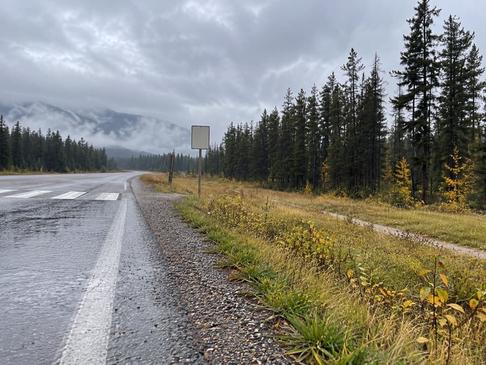 EasyCampgrounds Trail4.7 km · 1.3 hr · At the trailheadAn easy riverside link from Jasper to its campgrounds.
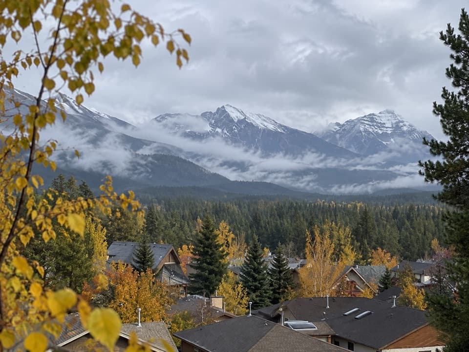 EasyJasper Discovery Trail8.3 km · 2.5 hr · 0.4 km awayA town loop for Jasper views, history, and an easy outing.
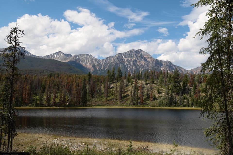 ModerateMina-Riley Lakes Loop9 km · 3.5 hr · 0.8 km awayA wetland circuit links two Mina Lakes with Riley Lake.
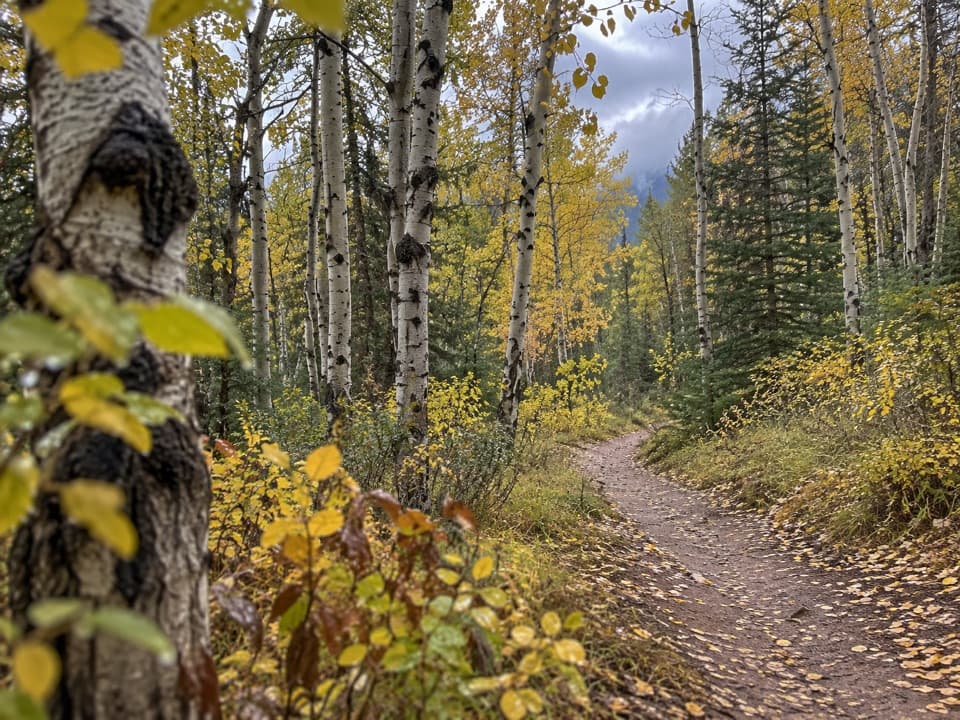 ModeratePyramid Trail11.4 km · 3.5 hr · 0.8 km awayA broad forested climb links Jasper with the Pyramid Bench lakes.
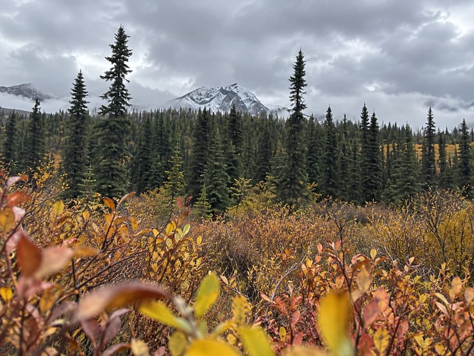 ModerateCottonwood Creek Loop5.1 km · 1.5 hr · 0.8 km awayClimb to a town view, then return beside Cottonwood Creek.
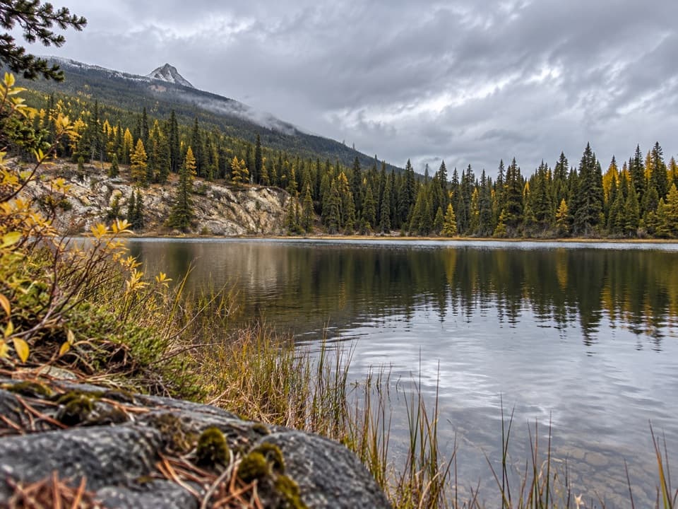 ModerateSaturday Night Lake Loop24.6 km · 8 hr · 1.3 km awayA long wooded lake loop with steep climbs and muddy stretches.
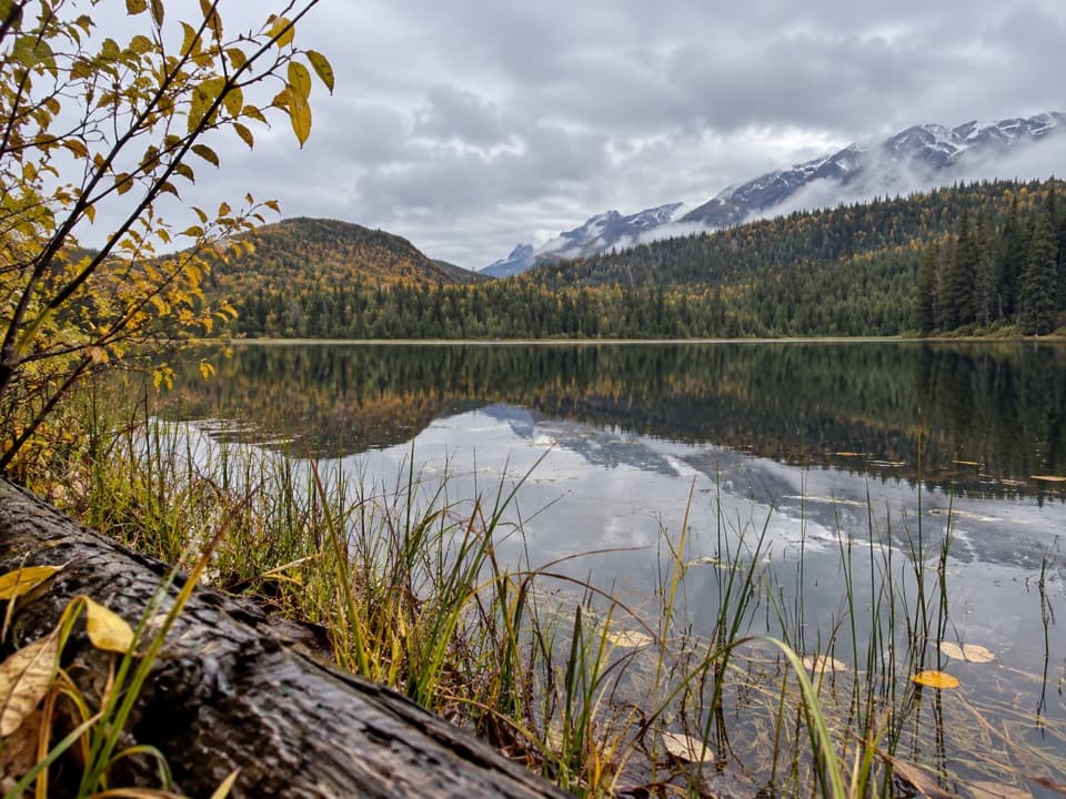 ModerateMinnow Lake Trail18.4 km · 5.5 hr · 1.3 km awayA long climb ends at a small lake tucked into pines.
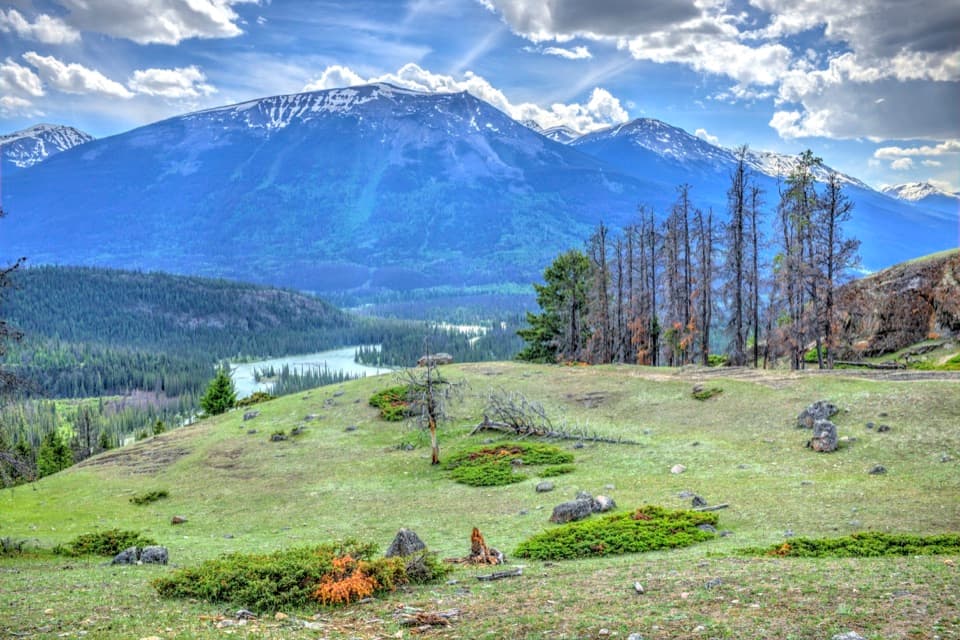 ModerateOld Fort Point Loop3.8 km · 1.3 hr · 1.4 km awayA short climb, a sweeping view over Jasper and the Athabasca
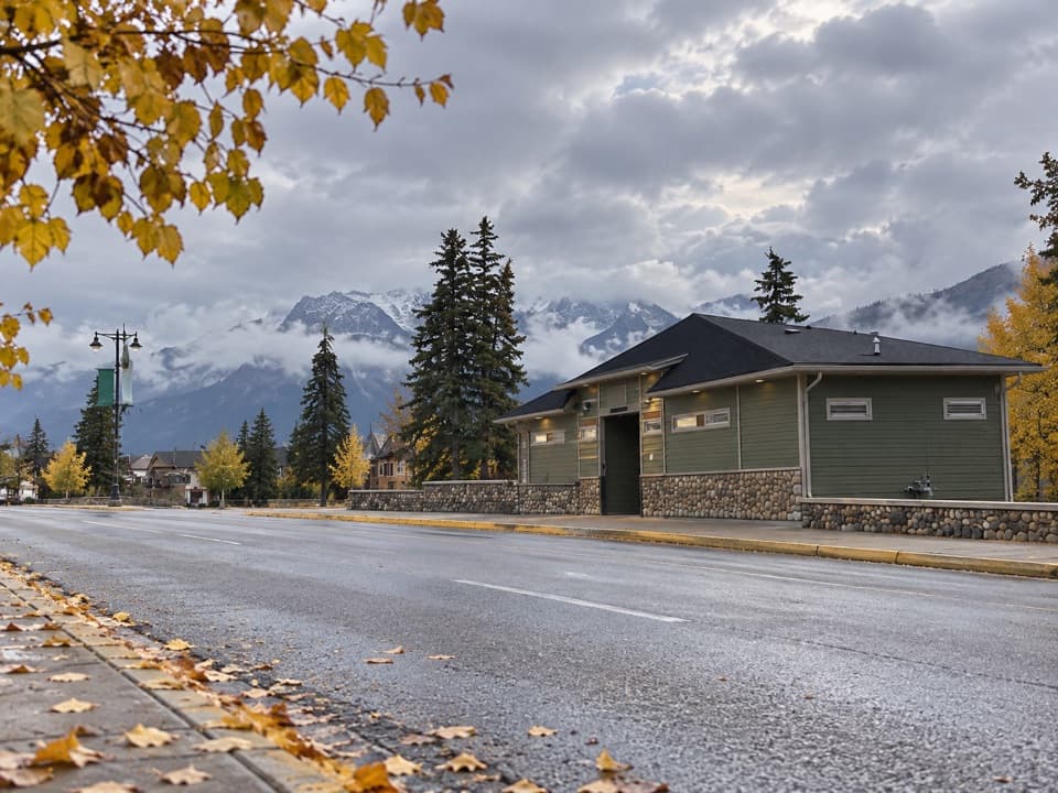 Restroom · At the trailheadConnaught Drive Public Washrooms at Hazel AvenueA practical washroom with step-free access beside Connaught Drive.
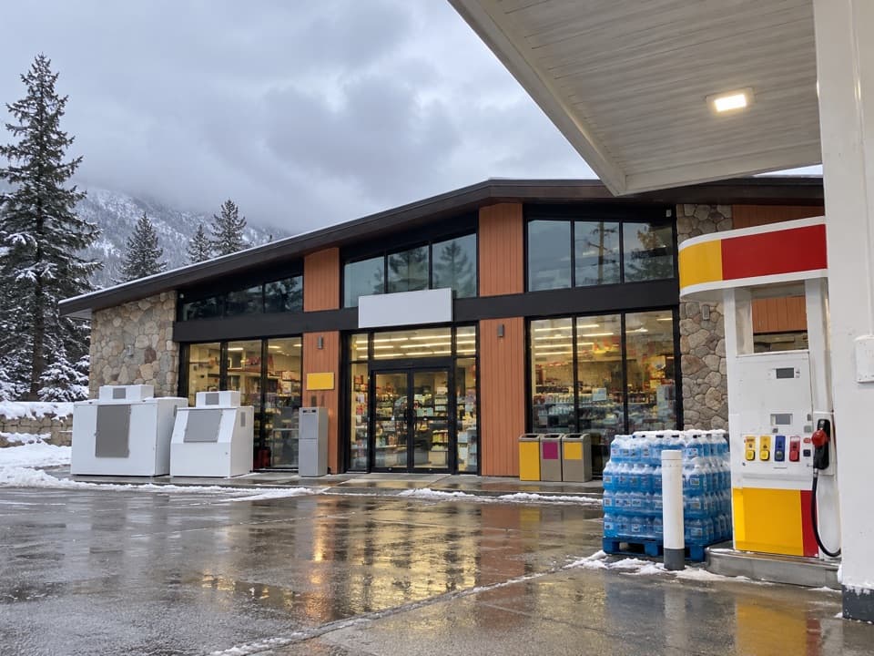 Gas station · 0.1 km awayShell — JasperFuel up here before the Parkway's long stretch with few services.
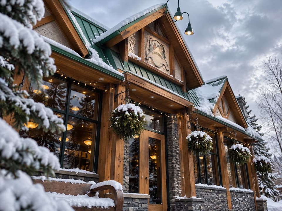 Restaurant · 0.2 km awayJasper Brewing CompanyHouse-brewed beer and Alberta pub food fit a relaxed dinner.
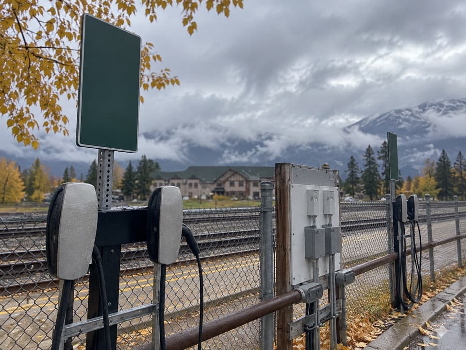 Sight · 0.2 km awayParks Canada EV Charging — Connaught DriveA townsite top-up while your car stays parked for hours.
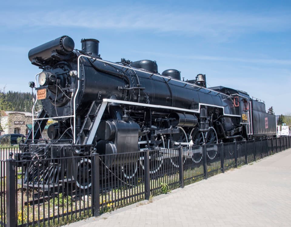 Sight · 0.3 km awayCN Locomotive 6015An easy in-town stop to see a full-size 1923 steam engine.
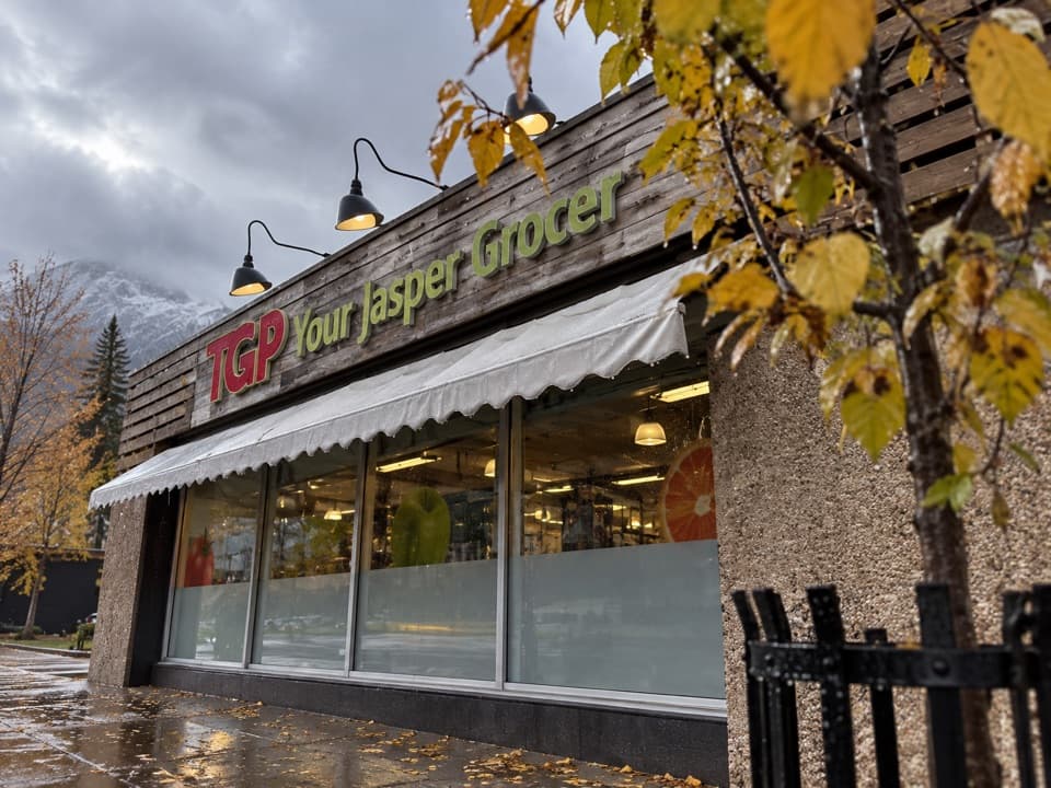 Store · 0.4 km awayTGP Your Jasper GrocerA handy town stop for groceries before you head out.
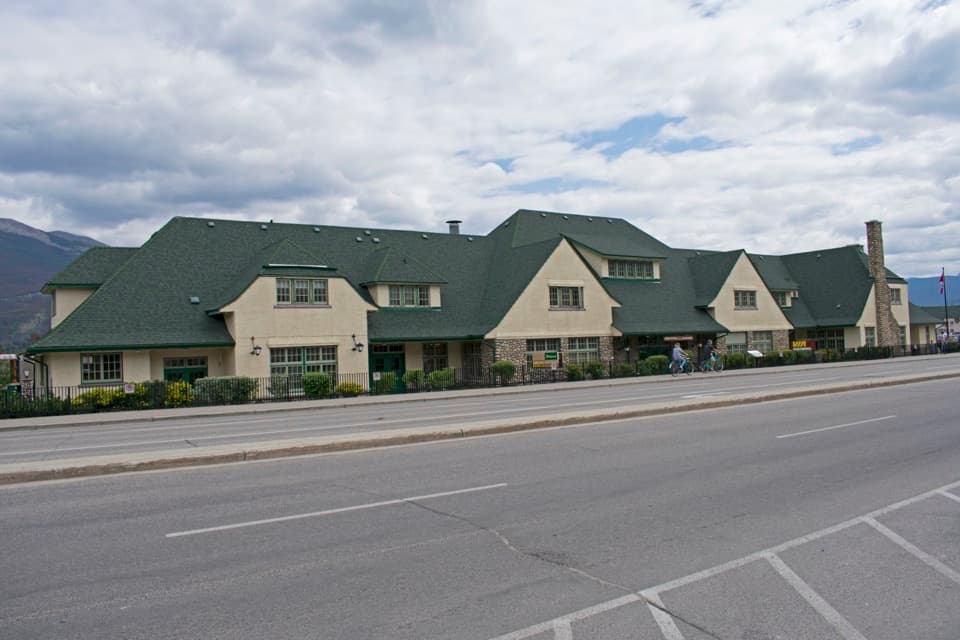 Sight · 0.4 km awayJasper Railway StationA working heritage depot with Jasper's railway story on display.
 Visitor center · 0.5 km awayJasper Information CentrePick up passes and park advice inside a stone-and-log landmark.
Parkwolf’s Jasper ranking

The audio tour guide for the drive, plus offline maps, trails, and wildlife heatmaps for when the signal drops.





