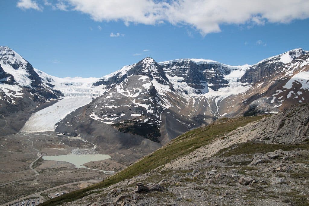
Parking
Large, well-signed lot at the Athabasca Falls day-use area on Hwy 93A; toilets and picnic tables are on site.

#5 of 91 trails in Jasper
Jasper National Park, AB
Easy, developed out-and-back to Jasper’s most powerful waterfall and canyon
Overview
Athabasca Falls is a quick, high-payoff stop in Jasper: the 23 m waterfall is less about height than the force of the Athabasca River as it drops into a narrow gorge. Paved paths, bridges, railings, and several viewpoints make the scene accessible while still delivering spray, rainbows, and sculpted river-rock geology.
 Parkwolf’s verdictWhy go
Map & elevation
Plan your hike

The highest, rockiest slopes around here are a summer buffet for grizzly bears.
Jasper Tour Guide
Parkwolf is a GPS audio tour guide for Jasper National Park. As you drive, it chimes in with what’s ahead: hidden gems, upcoming stops, history, geology, and wildlife, right through your car’s speakers.
See the Jasper audio tourRecorded for this trailhead
Athabasca Falls, Jasper's Most Powerful Waterfall“Up ahead is Athabasca Falls, one of Jasper's most impressive sights. This waterfall isn't famous for being tall, but for the incredible power of the entire Athabasca River being forced through a narrow quartzite canyon.”
Plays as you drive up to this trailhead in the Parkwolf Jasper Tour Guide.
More stories near here in the app
“Fantastic app with many points of information… It’s great to just turn on while you’re driving and it gives you an audio tour of the national Park. We love it!!!!”


Trail guide
Start at the Athabasca Falls day-use area and follow the paved and hard-packed path to the gorge viewpoints, including the western Pothole/viewpoint area. The route is an out-and-back: the saved line represents the one-way corridor, while the listed distance is the roughly 0.5 mile (0.8 km) return visit. Optional viewpoint spurs can make the exact walk a little longer. The main viewpoints are accessible, but lower angles use stairs.
This is an easy, family-friendly sightseeing walk rather than a wilderness hike. Parking, toilets, and picnic tables are at the day-use area off Hwy 93A. Mist can make rocks and stairs slippery, and the river is powerful; stay behind railings. Arrive early or later in the day for softer light and fewer crowds.
Sunwapta Falls is another short roadside waterfall stop along the same corridor.
Wildlife
 174 sightingsGrizzly BearMost seen around 8 PMSighting map
 43 sightingsCaribouMost seen around 7 AMSighting map
 40 sightingsGray WolfMost seen around 6 AMSighting map
 12 sightingsCanada LynxMost seen around 8 PMSighting map
 315 sightingsMooseMost seen around 6 AMSighting map
 1,028 sightingsElkMost seen around 7 AMSighting map
Sighting maps show where each species has been reported across Jasper. Wildlife moves, so no sighting is guaranteed.
Keep exploring
 ChallengingGeraldine Lakes Trail12.4 km · 6 hr · 4.7 km awayRugged lakes-and-waterfalls climb to a backcountry campground beneath Jasper’s big peaks.ModerateWhirlpool River Trail13.4 km · 4.5 hr · 4.9 km awayHistoric Whirlpool River valley out-and-back to a riverside campgroundChallengingAthabasca Pass Trail48.4 km · 4 days · 4.9 km awayHistoric 48.5 km one-way backcountry route up the Whirlpool River valley to Athabasca PassModerateMoab Lake Trail15.1 km · 4 hr · 7.3 km awayA quiet, moderate road walk to a Moab Lake viewpoint via the Whirlpool valleyModerateLeach Lake Trail15.4 km · 4.5 hr · 7.3 km awayWinter route to Leach Lake with Mount Hardisty and Mount Kerkeslin views.
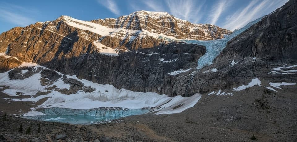 EasyPath of the Glacier (Mount Edith Cavell)1.6 km · 1 hr · 11.9 km awayBig glacier payoff on a tiny, family-friendly walk to Angel Glacier
 Sight · 0.1 km awayAthabasca FallsRoaring glacier-fed falls squeezed into a narrow quartzite canyon
 Lodging · 0.7 km awayHI Athabasca FallsRustic hostel steps from Athabasca Falls with a cozy cookhouse
 Campground · 3.7 km awayMt Kerkeslin CampgroundQuiet, riverside first‑come campground on the Icefields Parkway
 Sight · 3.8 km awayHorseshoe LakeCliff-ringed turquoise lake just off the Parkway
 Scenic pullout · 5.9 km awayGoats and Glaciers ViewpointQuick goat-spotting pullout with glacier and river valley views
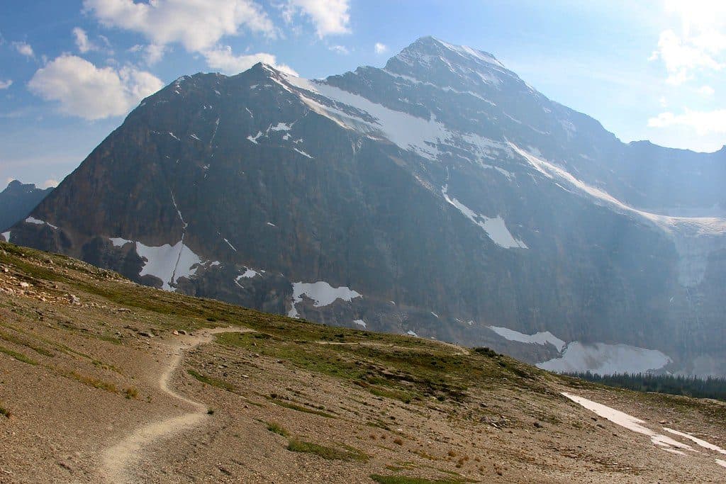 Sight · 10.8 km awayCavell MeadowsAlpine meadows and up-close views of Angel Glacier
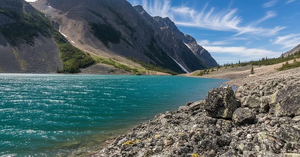 Sight · 11.5 km awayGeraldine LakesA chain of turquoise lakes linked by waterfalls and boulder fields
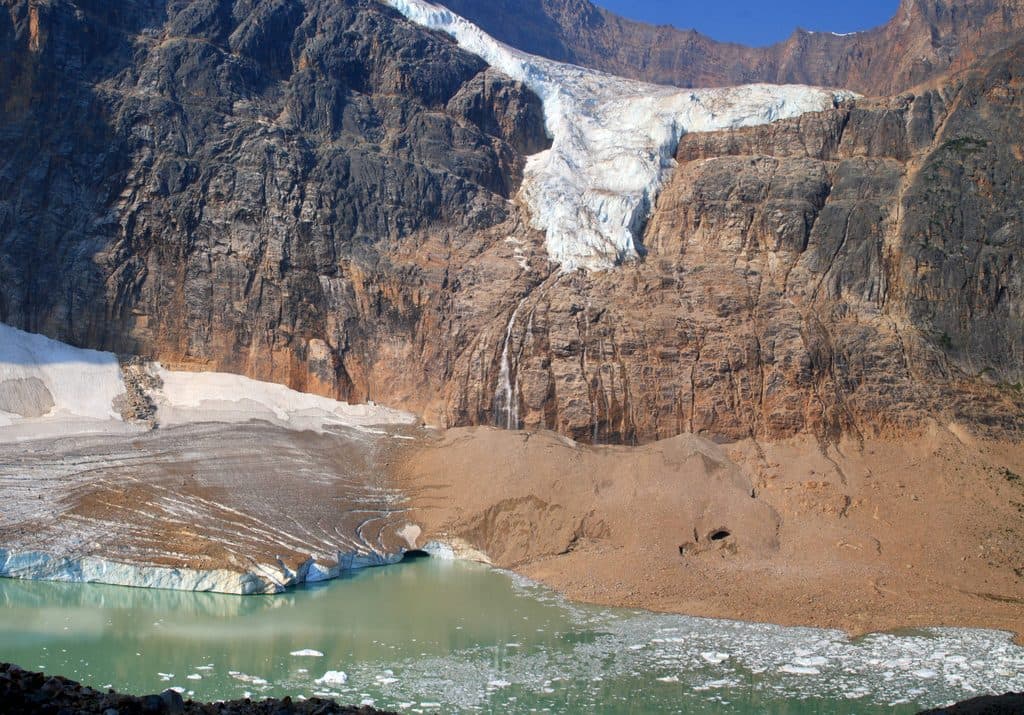 Sight · 11.7 km awayMount Edith CavellAngel Glacier views and wildflower meadows on Jasper’s signature peak
Parkwolf’s Jasper ranking
The audio tour guide for the drive, plus offline maps, trails, and wildlife heatmaps for when the signal drops.