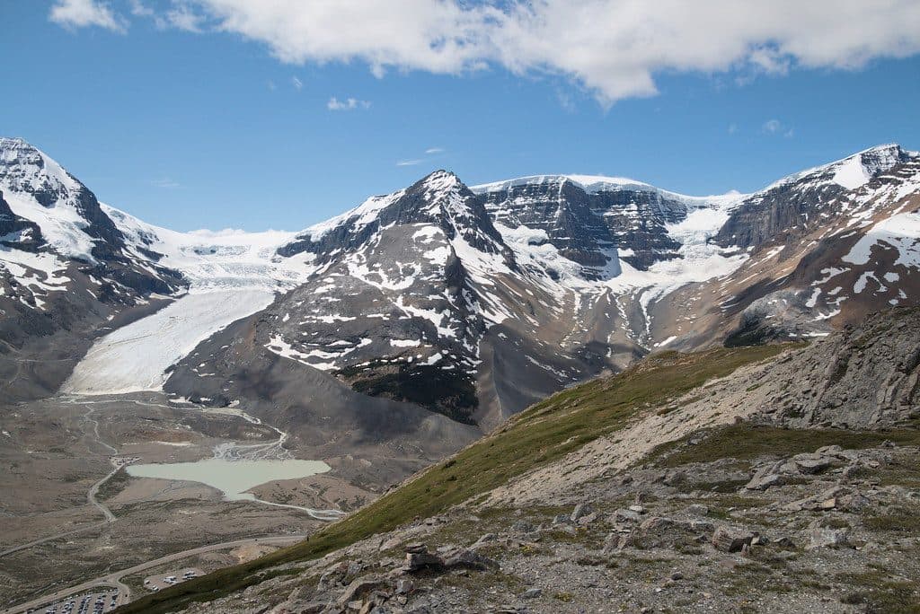
Parking
Park at the Jasper SkyTram base station and ride to the upper terminal; the hiking route starts near the upper station and Summit Restaurant. A SkyTram ticket and applicable Jasper National Park pass are required.

#6 of 91 trails in Jasper
Jasper National Park, AB
High-alpine Indian Ridge views from the Jasper SkyTram with a rugged out-and-back scramble
Overview
Indian Ridge is a demanding high-alpine out-and-back that starts at the Jasper SkyTram upper station and quickly leaves the crowds behind. The route climbs to Whistlers Summit, drops toward the col, then traverses open alpine terrain toward a rugged Indian Ridge turnaround with broad views over the Athabasca Valley and surrounding peaks.
 Parkwolf’s verdictWhy go
Map & elevation
Plan your hike

The highest, rockiest slopes around here are a summer buffet for grizzly bears.
Jasper Tour Guide
Parkwolf is a GPS audio tour guide for Jasper National Park. As you drive, it chimes in with what’s ahead: hidden gems, upcoming stops, history, geology, and wildlife, right through your car’s speakers.
See the Jasper audio tourRecorded for this area
Jasper SkyTram: Ride to the Rooftop of Jasper“Up ahead is the road for the Jasper SkyTram, which is Canada's highest and longest aerial tramway. It’s a quick seven-minute ride that takes you right up into the alpine zone of Whistlers Mountain.”
Plays on the road 1.7 km from the trailhead in the Parkwolf Jasper Tour Guide.
More stories near here in the app
“Fantastic app with many points of information… It’s great to just turn on while you’re driving and it gives you an audio tour of the national Park. We love it!!!!”


Trail guide
Ride the Jasper SkyTram to the upper station, then follow the signed trail toward Whistlers Summit. At the summit, find the less-obvious route descending toward the col and continue along the Indian Ridge line. The mapped visitor route is about 4.4 km one way; the total hike is approximately 8.9 km (5.5 miles) out and back. It includes the descent from Whistlers and the climb back toward the ridge, with about 830 m of cumulative elevation gain on the published route track.
The first section is a defined alpine trail, while the Indian Ridge section is quieter, rougher, and more exposed. Expect loose rock, steep grades, and light scrambling near the turnaround. The route is above treeline for much of the hike, with wide-open views and little shelter from wind, sun, or storms.
This is a difficult hike for experienced mountain hikers. Route-finding can be confusing where the Indian Ridge line leaves the Whistlers Summit area, especially in cloud or poor visibility. Loose shale and light scrambling make the upper section unstable when wet or icy. The ridge is fully exposed to lightning and changing alpine weather; turn around early if conditions deteriorate. Bears and other wildlife are present in Jasper National Park, so carry bear spray where permitted and stay alert. Dogs may be allowed on the trail, but the exposed loose-rock scramble is not recommended for most dogs.
Park at the Jasper SkyTram base station and ride to the upper terminal. The hiking route begins near the upper station and Summit Restaurant; a SkyTram ticket and applicable Jasper National Park pass are required for this access.
Whistlers Summit is a reasonable turnaround if the ridge route is beyond your comfort level.
Wildlife
 174 sightingsGrizzly BearMost seen around 8 PMSighting map
 43 sightingsCaribouMost seen around 7 AMSighting map
 40 sightingsGray WolfMost seen around 6 AMSighting map
 12 sightingsCanada LynxMost seen around 8 PMSighting map
 315 sightingsMooseMost seen around 6 AMSighting map
 1,028 sightingsElkMost seen around 7 AMSighting map
Sighting maps show where each species has been reported across Jasper. Wildlife moves, so no sighting is guaranteed.
Keep exploring
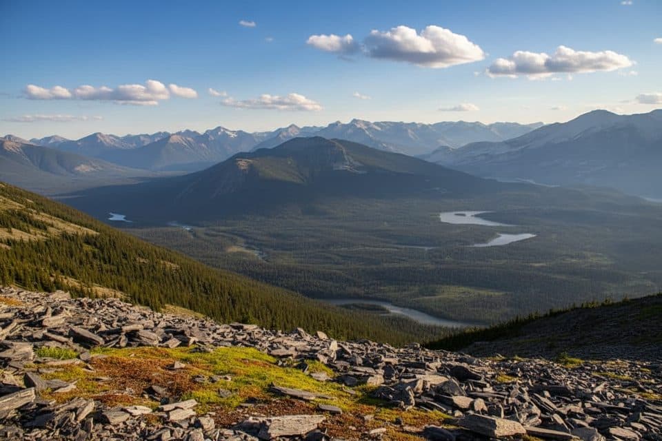 ModerateWhistlers Summit Trail2.7 km · 1.5 hr · At the trailheadQuick alpine climb from the SkyTram to Jasper’s big-views summit
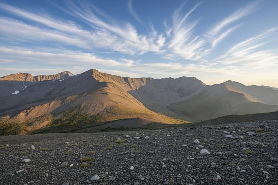 ChallengingWhistlers Trail13.7 km · 6.5 hr · 2 km awayForest-to-alpine grind with huge summit views and a tram bailout
 ModerateSaturday Night Lake Loop24.6 km · 8 hr · 4.2 km awayA long multi-use loop from Jasper through Marjorie, Minnow, High, and Saturday Night lakes
 ChallengingGreat Divide Trail102 km · 1.7 days · 5.1 km awayA demanding 102 km Jasper-to-Mount-Robson wilderness traverse over three high passes.
 Easy11 Town trail8.4 km · 2.5 hr · 5.1 km awayModerate loop around Jasper with mountain views, town access, and bear-marker wayfindingEasyJasper Discovery Trail8.4 km · 2.5 hr · 5.5 km away8.3 km loop around Jasper with mountain views, interpretive stops, and gentle rolling terrainModeratePyramid Bench Loop14.5 km · 5 hr · 5.6 km awayModerate multi-use loop from Jasper to Pyramid Lake with bench-top views over the Athabasca Valley.ModerateCabin Lake Trail6.8 km · 2.3 hr · 5.6 km awayForest-and-lake loop from Jasper's Pyramid Bench
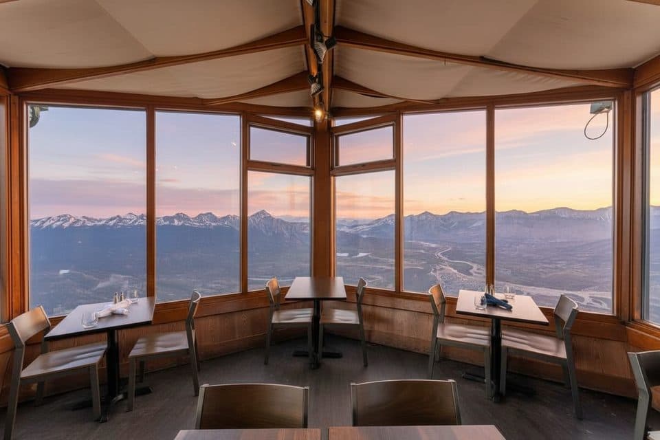 Restaurant · At the trailheadSummit RestaurantMountaintop cafe with knockout views via the SkyTram
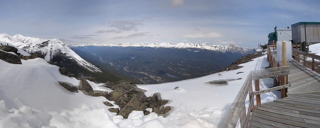 Sight · 1.1 km awayWhistlers MountainSkyTram-served alpine summit with sweeping views and whistling marmots
 Sight · 1.7 km awayJasper SkyTramQuick ride to big-mountain views and summit trails
 Sight · 3.6 km awayIndian RidgeHigh‑alpine ridgewalk with huge views, a short SkyTram away
 Campground · 3.7 km awayWhistlers CampgroundModern mega-campground near town with elk and full amenities
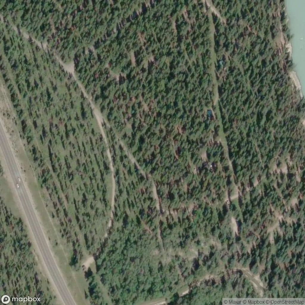 Campground · 4.3 km awayWapiti CampgroundYear‑round riverside camping with hot showers near town
 Restaurant · 4.6 km awayBecker's Gourmet RestaurantFine dining with front-row Athabasca River and mountain views
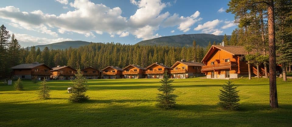 Lodging · 4.6 km awayBecker's ChaletsRiverside cabins with kitchens, fireplaces, and a standout restaurant
Parkwolf’s Jasper ranking
The audio tour guide for the drive, plus offline maps, trails, and wildlife heatmaps for when the signal drops.