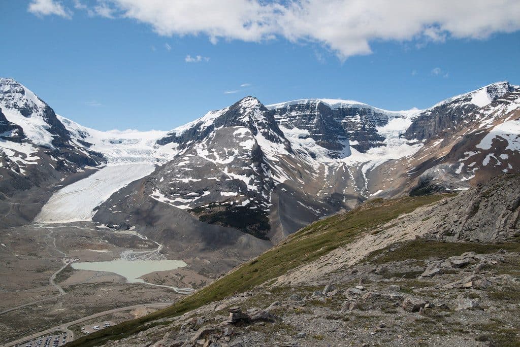
Parking
Park at the Mount Edith Cavell upper lot at the end of Cavell Road. Parking is limited. Cavell Road has tight switchbacks and does not allow trailers or vehicles longer than 7.5 m (25 ft).

#3 of 91 trails in Jasper
Jasper National Park, AB
Glacier views and alpine meadows on a rewarding mountain trail
Overview
Cavell Meadows is a moderate but sustained high-country hike that packs glacier views, alpine meadows, and a changing mountain landscape into one outing. The route is especially rewarding if you want to see Angel Glacier from the trail while also reaching the flower-filled meadows above treeline.
 Parkwolf’s verdictWhy hike it
Map & elevation
Plan your hike

The highest, rockiest slopes around here are a summer buffet for grizzly bears.
Jasper Tour Guide
Parkwolf is a GPS audio tour guide for Jasper National Park. As you drive, it chimes in with what’s ahead: hidden gems, upcoming stops, history, geology, and wildlife, right through your car’s speakers.
See the Jasper audio tourRecorded for this area
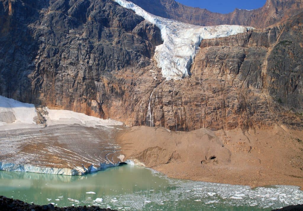
When the Ghost Glacier Fell“Back in August 2012, a huge piece of the Ghost Glacier broke right off Mount Edith Cavell. It slammed into the small lake below, triggering a powerful surge wave—basically a mini-tsunami in a mountain lake.”
Plays near this trailhead in the Parkwolf Jasper Tour Guide.
More stories near here in the app
“Fantastic app with many points of information… It’s great to just turn on while you’re driving and it gives you an audio tour of the national Park. We love it!!!!”


Trail guide
Start at the Mount Edith Cavell upper parking lot at the end of Cavell Road. Follow the paved Path of the Glacier approach, then turn onto the Cavell Meadows route near the end of the pavement. The trail climbs past bouldery moraine and through upper-subalpine forest before reaching the alpine meadow. The upper route follows the meadow's high section and descends to the lower trail before the return to the parking lot.
The complete visitor outing is about 5.2 miles (8.3 km) round trip with roughly 500 m of elevation gain and loss, and usually takes 3-5 hours. The stored line follows the physical corridor once; the return distance is included in the visitor total. Expect a moderate hike with a sustained climb, steeper upper sections, and uneven rock.
Angel Glacier, Cavell Glacier, Cavell Pond, and the cliffs of Mount Edith Cavell shape the views from the lower and upper trail. At treeline, the scenery opens into alpine meadows with broad mountain views and seasonal wildflowers. Pikas and marmots are common possibilities among the rocks, and mountain goats may also be seen.
The access road is narrow and winding, with tight switchbacks; vehicles longer than 7.5 m (25 ft), trailers, and large motorhomes are not permitted on Cavell Road. Parking is limited, so an early start helps. Bring water, food, sturdy footwear, layers, rain protection, and sun protection. Conditions can change quickly at elevation, and the upper trail may be wet or fragile early in the season.
Stay on the marked trail to protect fragile alpine vegetation. Falling rock and ice are real hazards in this area: do not approach Angel Glacier or the edge of Cavell Pond, and stay away from cliffs. This is a good choice for hikers prepared for a long climb and variable mountain weather; if you want a shorter outing, the lower Path of the Glacier viewpoint is the easier option.
Wildlife
 174 sightingsGrizzly BearMost seen around 8 PMSighting map
 43 sightingsCaribouMost seen around 7 AMSighting map
 40 sightingsGray WolfMost seen around 6 AMSighting map
 12 sightingsCanada LynxMost seen around 8 PMSighting map
 315 sightingsMooseMost seen around 6 AMSighting map
 1,028 sightingsElkMost seen around 7 AMSighting map
Sighting maps show where each species has been reported across Jasper. Wildlife moves, so no sighting is guaranteed.
Keep exploring
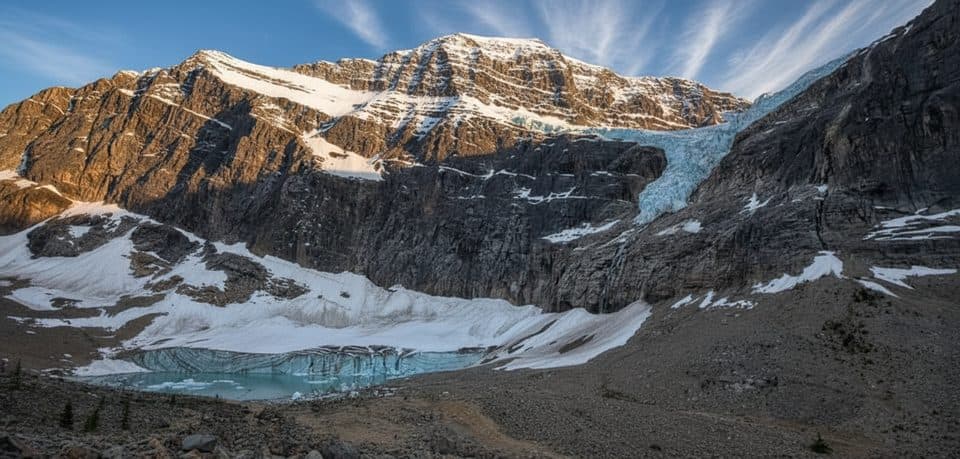 EasyPath of the Glacier (Mount Edith Cavell)1.6 km · 1 hr · At the trailheadBig glacier payoff on a tiny, family-friendly walk to Angel Glacier
 ChallengingTonquin Valley Trail42.6 km · 16 hr · 1.8 km awayA 42.6 km backcountry traverse from Astoria to Portal beneath the Ramparts
 ModerateAstoria River Trail14.2 km · 5 hr · 1.8 km awayForested approach along the Astoria River to Astoria CampgroundModerateWhirlpool River Trail13.4 km · 4.5 hr · 7.1 km awayHistoric Whirlpool River valley out-and-back to a riverside campgroundChallengingAthabasca Pass Trail48.4 km · 4 days · 7.1 km awayHistoric 48.5 km one-way backcountry route up the Whirlpool River valley to Athabasca PassModerateMoab Lake Trail15.1 km · 4 hr · 9.6 km awayA quiet, moderate road walk to a Moab Lake viewpoint via the Whirlpool valleyModerateLeach Lake Trail15.4 km · 4.5 hr · 9.6 km awayWinter route to Leach Lake with Mount Hardisty and Mount Kerkeslin views.
 EasyWabasso Lake6.8 km · 2.5 hr · 10.5 km awayGentle forest walk on Trail 9 to a quiet, marsh-edged lake.
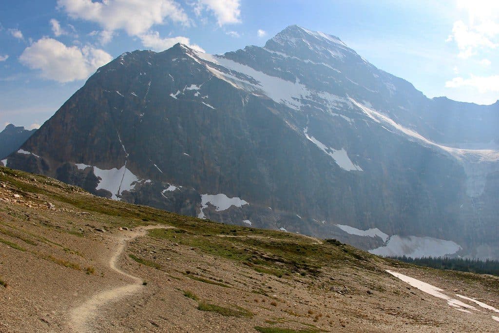 Sight · 1.2 km awayCavell MeadowsAlpine meadows and up-close views of Angel Glacier
 Sight · 1.3 km awayAngel GlacierShort walk to a dramatic hanging glacier and iceberg-dotted pond
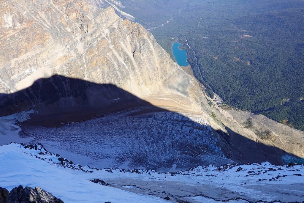 Sight · 1.3 km awayCavell LakeQuiet turquoise lake with knockout Mount Edith Cavell reflections
 Lodging · 1.9 km awayHI Mount Edith CavellRustic hostel under Edith Cavell with kitchen and glacier views
 Sight · 2.1 km awayMount Edith CavellAngel Glacier views and wildflower meadows on Jasper’s signature peak
 Campground · 9.5 km awayWabasso CampgroundRiverside basecamp with spacious sites and modern bathrooms, no showers
 Sight · 11.9 km awayAthabasca FallsRoaring glacier-fed falls squeezed into a narrow quartzite canyon
 Lodging · 12.5 km awayHI Athabasca FallsRustic hostel steps from Athabasca Falls with a cozy cookhouse
Parkwolf’s Jasper ranking
The audio tour guide for the drive, plus offline maps, trails, and wildlife heatmaps for when the signal drops.