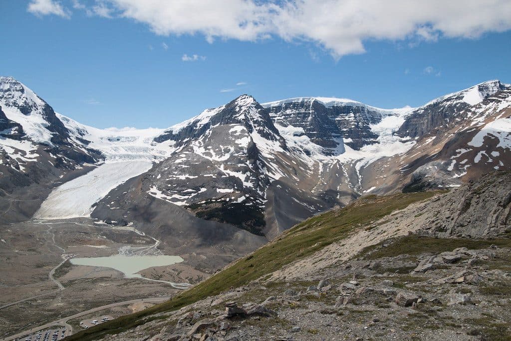
Parking
Park in the Miette Hot Springs parking lot. Walk up the steps toward the entrance; the paved trail branches from the passenger drop-off loop by the trailhead kiosk.

#4 of 91 trails in Jasper
Jasper National Park, AB
Steep climb to a 360-degree ridge, then a hot-springs soak below
Overview
If you like your payoff big and your climbs straightforward, Sulphur Skyline delivers. This popular out-and-back rockets from Miette Hot Springs up switchbacks to an open, treeless summit with huge views over the Fiddle River Valley and surrounding Jasper peaks. Expect 8–8.8 km total (about 5.0–5.5 miles) and roughly 650–700 m of gain—most of it packed into a steady grind, with the final 400 m a steeper, looser push.
 Parkwolf’s verdictWhy hike it
Map & elevation
Plan your hike

The highest, rockiest slopes around here are a summer buffet for grizzly bears.
Jasper Tour Guide
Parkwolf is a GPS audio tour guide for Jasper National Park. As you drive, it chimes in with what’s ahead: hidden gems, upcoming stops, history, geology, and wildlife, right through your car’s speakers.
See the Jasper audio tourRecorded for this area
From Rain to Steam: The Plumbing of Miette Hot Springs“So where does all this hot water come from? It’s not a volcano. It’s actually rain and snow that seeps deep into the mountains through a network of cracks.”
Plays near this trailhead in the Parkwolf Jasper Tour Guide.
More stories near here in the app
“Fantastic app with many points of information… It’s great to just turn on while you’re driving and it gives you an audio tour of the national Park. We love it!!!!”


Trail guide
You’ll start at the Miette Hot Springs complex on a short paved approach before the path turns to dirt and immediately begins climbing through dense forest. The grade rarely lets up. Around the ridge the trees fall away to alpine meadows and then barren, rocky slopes—great for views, not so great for wind. There’s a flat, grassy false-summit area with benches and excellent vistas; from there, the last stretch to the true summit is steep and on loose rock. The 360° panorama up top is the whole point.
From the hot springs, pick up the signed trail and settle into switchbacks. Early on, a horse trail joins from the left—continue straight. At Shuey Pass, take the right-hand branch signed for Sulphur Skyline/Sulphur Ridge to stay on the summit route. It’s an out-and-back the whole way, so what you slog up you’ll descend.
There’s no reliable water on trail—carry ample. Layers are essential; the summit is exposed and winds can howl, and storms can roll in fast. Trekking poles shine on the steep, loose final pitch and for the descent. Dogs are permitted on leash. A Parks Canada pass is required for the area. This is a hiking trail only.
Your trailhead is steps from the hottest mineral springs in the Canadian Rockies. A soak after that summit push feels very right.
Late June–September for dry trail and long daylight. Go early morning for cooler temps, calmer winds, fewer crowds, and better photography light. Watch for fast-changing weather at the summit in the afternoon.
Wildlife
 174 sightingsGrizzly BearMost seen around 8 PMSighting map
 43 sightingsCaribouMost seen around 7 AMSighting map
 40 sightingsGray WolfMost seen around 6 AMSighting map
 12 sightingsCanada LynxMost seen around 8 PMSighting map
 315 sightingsMooseMost seen around 6 AMSighting map
 1,028 sightingsElkMost seen around 7 AMSighting map
Sighting maps show where each species has been reported across Jasper. Wildlife moves, so no sighting is guaranteed.
Keep exploring
 ChallengingUtopia Mountain9.8 km · 7.5 hr · 0.1 km awayBig, committing scramble from Miette Hot Springs with knockout viewsChallengingUtopia Mountain Trail9.8 km · 7.5 hr · 0.1 km awaySteep, loose, view-packed scramble above Miette Hot Springs
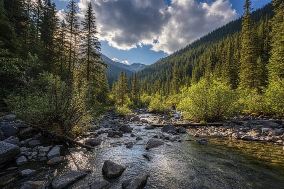 EasySource of the Springs Trail (Miette)1.2 km · 30 min · 0.1 km awayShort stroll to a steaming spring source and eerie aquacourt ruinsEasyPocahontas Mine Interpretive Trail0.8 km · 20 min · 12.7 km awayEasy 0.5-mile loop through the historic Pocahontas mine site
 EasyPocahontas Mine Trail1 km · 20 min · 13.2 km awayEasy 900 m paved loop through Jasper’s historic Pocahontas mine site
 EasyJasper House Historic Site Trail0.8 km · 20 min · 14.1 km awayA quick stroll to a history-rich Athabasca River viewpoint.
 ChallengingRoche Miette12.9 km · 7 hr · 14.4 km awaySteep, exposed Roche Miette summit scramble with big Athabasca valley viewsModerateCelestine Lake Trail13.7 km · 4.5 hr · 18.1 km awayA quiet old-road walk to Celestine Lake and its backcountry campground.
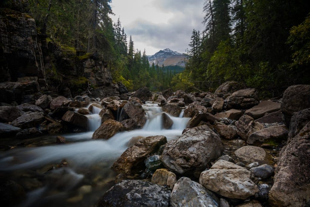 Sight · 0.1 km awayMiette Hot SpringsSoak in the Rockies’ hottest springs with big mountain views
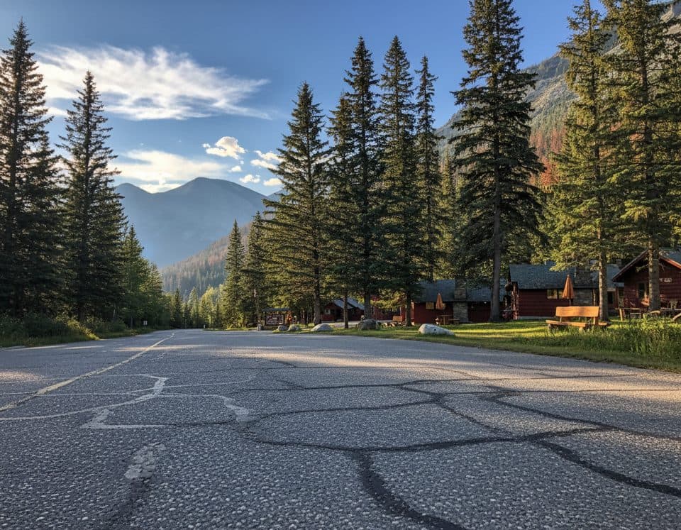 Lodging · 0.3 km awayMiette Hot Springs BungalowsRustic cabins steps from the hot springs with a handy onsite restaurant
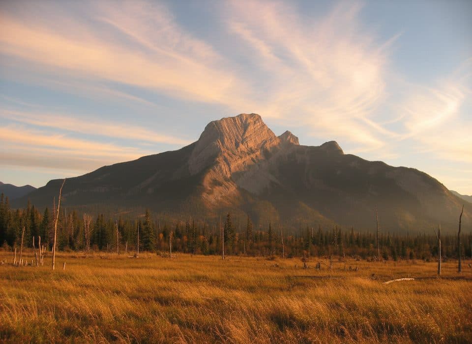 Sight · 9.5 km awayRoche à PerdrixShort, punchy scramble with feathered rock and big Fiddle views
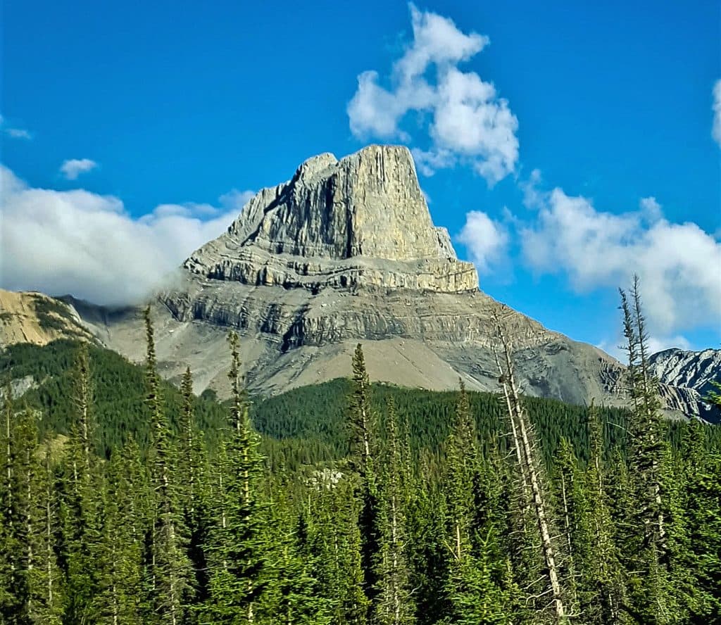 Sight · 10.6 km awayRoche MietteFlat-topped limestone icon with a stout scramble and huge views
 Campground · 11.9 km awayPocahontas CampgroundQuiet, treed campground near Miette Hot Springs with flush toilets
 Sight · 13.9 km awayJasper House National Historic SiteShort walk to a fur-trade viewpoint over the Athabasca
 Sight · 15.4 km awayTalbot LakeClear, shallow lake with dunes, pike fishing, and a quick panorama
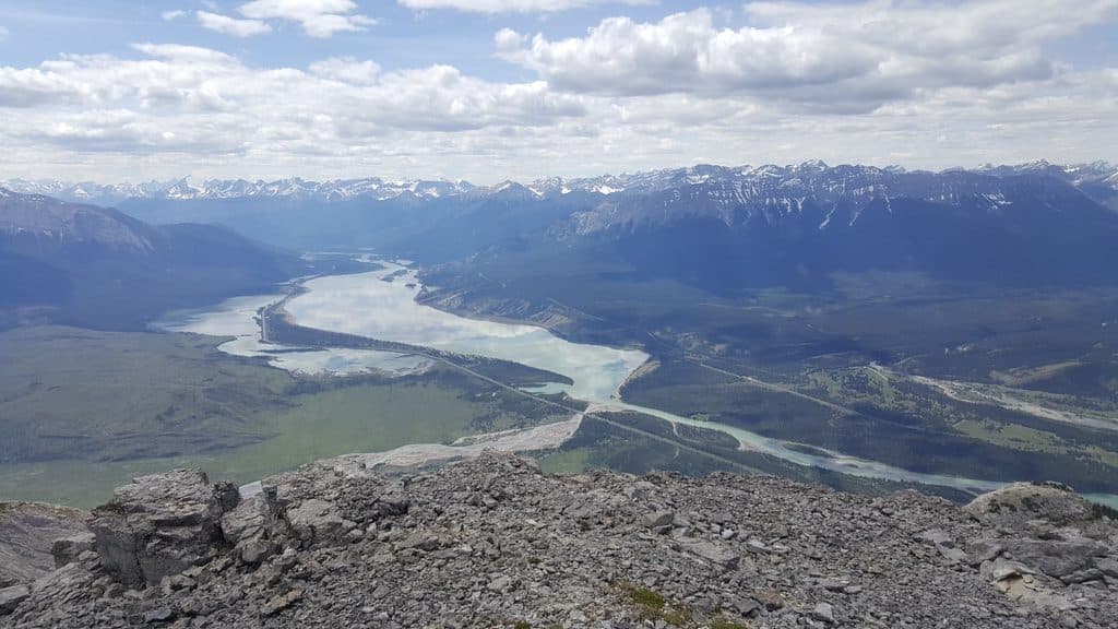 Sight · 16.1 km awayJasper LakeShallow Athabasca River lake with rare sand dunes and big views
Parkwolf’s Jasper ranking
The audio tour guide for the drive, plus offline maps, trails, and wildlife heatmaps for when the signal drops.