Parking
Follow the Barker Dam spur road from Park Boulevard to the Barker Dam parking area. Parking can be scarce from September through May; Echo T parking area to the west adds about 0.6 mile (roughly 1.7 miles total).
#2 of 60 trails in Joshua Tree
Joshua Tree National Park, CA
A short boulder loop to a ranching-era dam
Overview
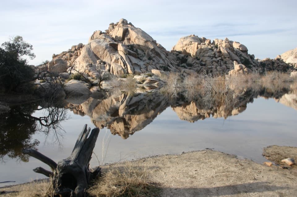
Barker Dam Nature Trail is an easy circuit through monzogranite boulders to a historic cattle-ranching dam and a marked rock-art viewpoint. The complete walk from Barker Dam parking area is about 1.3 miles, including the short approach to the circuit and the same path back. The park’s published figure is 1.1 miles; the mapped line here includes the shared approach twice. Allow about an hour if you want time to stop at the dam, the rock-art sign and the rocks. The payoff is a compact sample of Joshua Tree’s desert landscape, and after a wet spell the reservoir can reflect the boulder walls. Most of the year it is dry, so come for the trail and its history rather than expecting a lake.
 Parkwolf’s verdictWhy this is worth the loop
Map & elevation
Plan your hike

The highest, rockiest slopes around here are a summer buffet for grizzly bears.
Joshua Tree Tour Guide
Parkwolf is a GPS audio tour guide for Joshua Tree National Park. As you drive, it chimes in with what’s ahead: hidden gems, upcoming stops, history, geology, and wildlife, right through your car’s speakers.
See the Joshua Tree audio tourRecorded for this trailhead
Barker Dam Beyond the Reservoir“Barker Dam is coming up, a good stop for a short walk through boulders and a bit of ranching history. Allow about an hour for the loop, with uneven granite steps along the way.”
Plays as you drive up to this trailhead in the Parkwolf Joshua Tree Tour Guide.
More stories near here in the app
“Fantastic app with many points of information… It’s great to just turn on while you’re driving and it gives you an audio tour of the national Park. We love it!!!!”


Trail guide
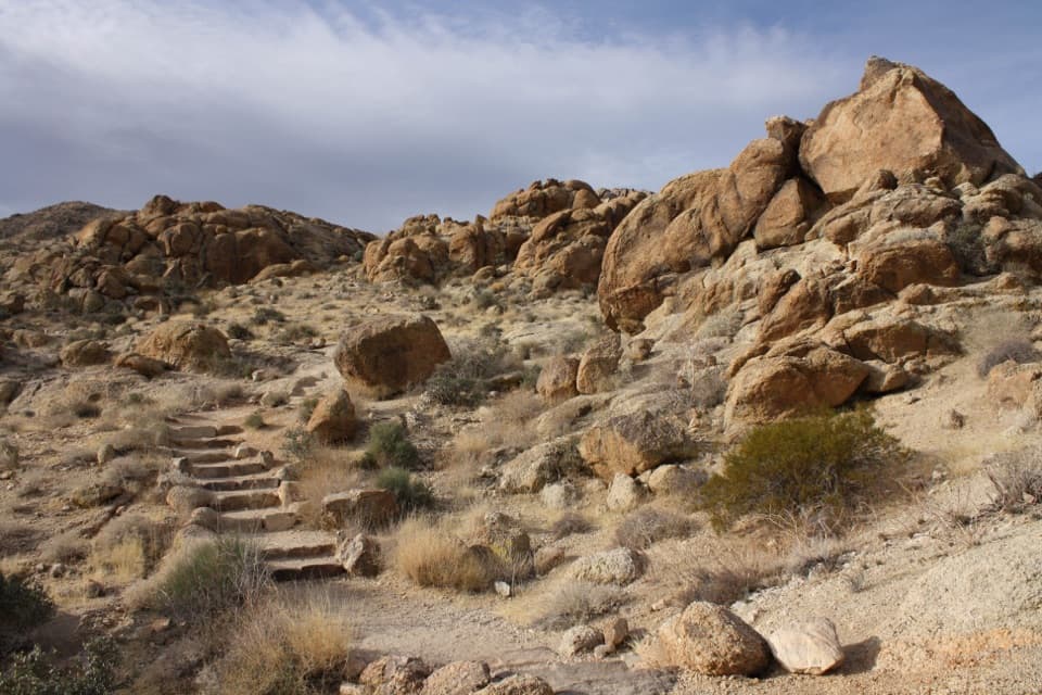
Start by the parking-area restrooms on firm, nearly level dirt. The tread gradually rises, then becomes irregular as you step onto or over granite boulders; some have cut steps and others are low, uneven rock. The path works through a narrow gap between boulders, an enclosed corridor rather than a deep slot canyon, and reaches a flat granite perch facing the dam. There is no strenuous scramble, but careful footing makes the short distance take longer than it looks. Stay with the marked loop at junctions: nearby climber paths and routes toward Wall Street Mill can pull you away from Barker Dam.
Early cattle ranchers built Barker Dam as a water tank in a landscape where water is scarce. Rainfall sometimes leaves a pool behind the wall, but water is not a reliable part of the view. The route continues around the dam through more boulders and down into a sandy wash, then opens into flatter desert ground on the return. If the basin is wet, frame the still water with the rocks; if it is dry, the loop still earns its stop for the boulder shapes and the route through them.
The trail passes a signed Indigenous rock-art site. The marks can be subtle and may occur across the boulder, so view them from the sign and do not touch, step on or climb the rock. Give the stop a little time rather than looking only for a single obvious panel. The park’s rules protect the whole rock surface, including parts where no marks are visible.
Joshua trees, creosote, Mojave yucca and pinyon pines grow among the granite and desert washes. Birds and reptiles are among the wildlife to watch for, and desert bighorn sheep are sometimes seen near the dam’s vegetation; sightings are never guaranteed. Look west for distant San Gorgonio Mountain when the air is clear. The monzogranite boulders are the constant feature: they crowd close around the trail in the narrow passages, then frame the wider basin and the reservoir.
There is little shade, and summer temperatures can top 100°F. Carry at least a liter of water, protect yourself from the sun and start early on summer days; wet granite can be slippery. Restrooms are at the parking area. The lot can be scarce from September through May; Echo T parking area to the west is the fallback and adds about 0.6 mile, for roughly 1.7 miles total. The route is not wheelchair-accessible, strollers are prohibited, and pets are not allowed; service animals must stay on a six-foot leash.
Wildlife
 129 sightingsBighorn SheepMost seen around 6 PMSighting map
 15 sightingsGolden EagleMost seen around 10 AMSighting map
 413 sightingsDesert TortoiseMost seen around 8 AMSighting map
 275 sightingsCoyoteMost seen around 6 AMSighting map
 47 sightingsBobcatMost seen around 6 PMSighting map
 32 sightingsMule DeerMost seen around 6 AMSighting map
Sighting maps show where each species has been reported across Joshua Tree. Wildlife moves, so no sighting is guaranteed.
Keep exploring
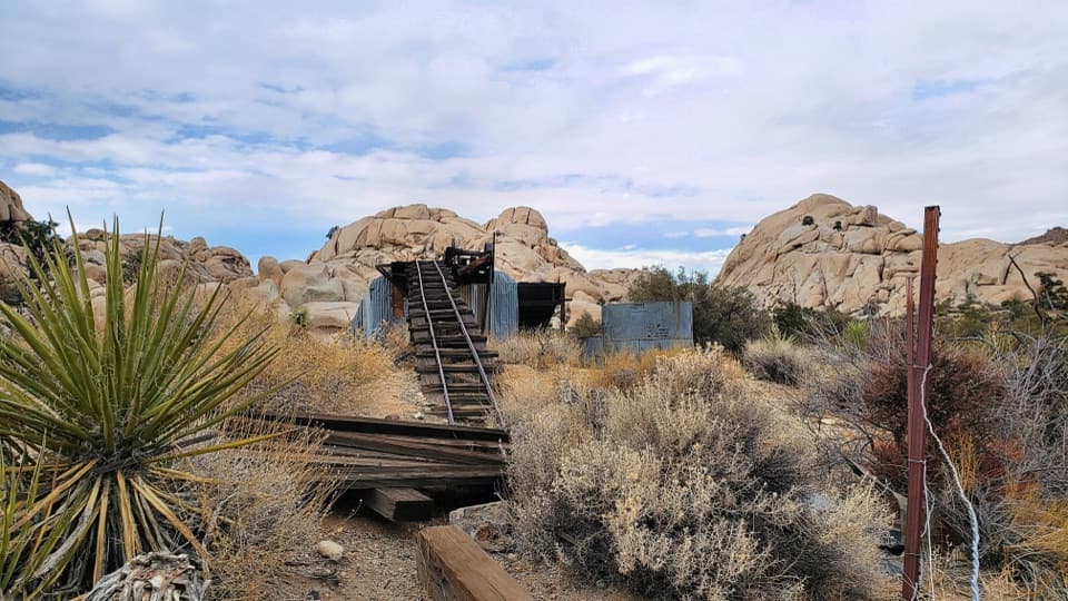 ModerateWall Street Mill Trail2.2 mi · 1 hr · At the trailheadShort, sandy path to a historic gold mill and rusted cars.
 ChallengingRyan Mountain Trail3 mi · 2 hr · 1.6 mi awayA steady ridge climb to a 360-degree desert panorama
 EasyHidden Valley Nature Trail1 mi · 1 hr · 1.7 mi awayA one-mile loop into a rock-walled cattle-rustler hideout.
 EasyMinerva Hoyt Trail3 mi · 1.5 hr · 2.4 mi awayJoshua trees and granite on a three-mile Hidden Valley out-and-back.
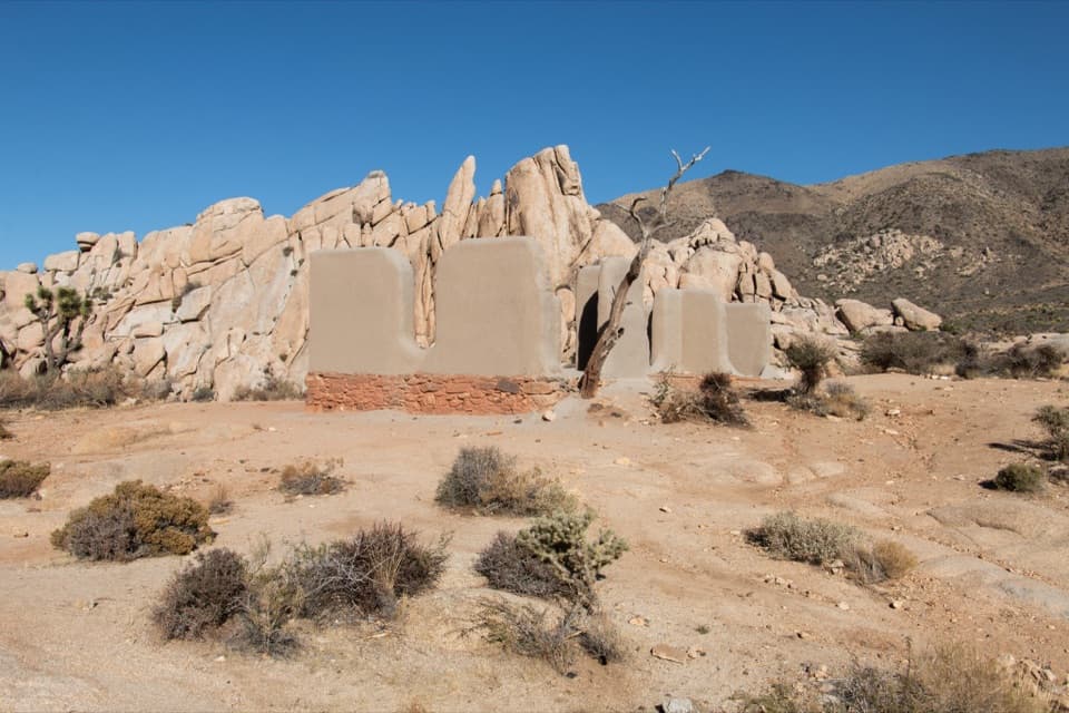 EasyRyan Ranch Trail1 mi · 1 hr · 2.6 mi awayAn easy mile to the old adobe ranch and fallen windmill.
 ModerateBoy Scout Trail8 mi · 4.5 hr · 2.7 mi awayAn eight-mile desert crossing from Joshua trees to Indian Cove.
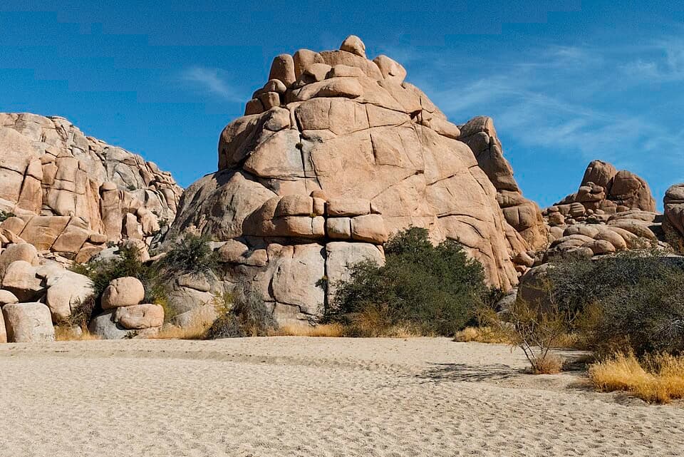 ModerateWillow Hole Trail7 mi · 4 hr · 2.7 mi awayFollow sandy washes to a seasonal willow grove.
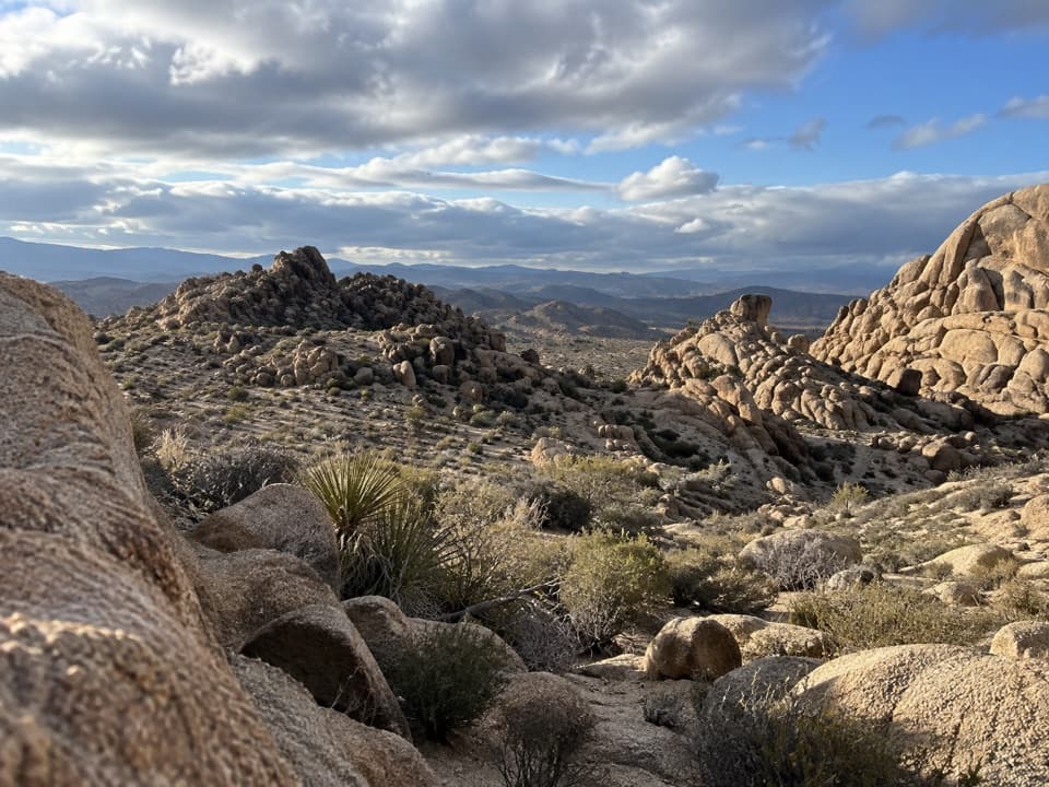 ModerateBig Pine Trail11.2 mi · 6 hr · 2.7 mi awayA rocky wash walk, reached only after a long backcountry approach.
 Sight · 0.4 mi awayWonderland Ranch RuinsPink homestead ruins on the Wall Street Mill side path.Sight · 0.5 mi awayBarker DamA short loop to a historic dam, boulder country and rock art.
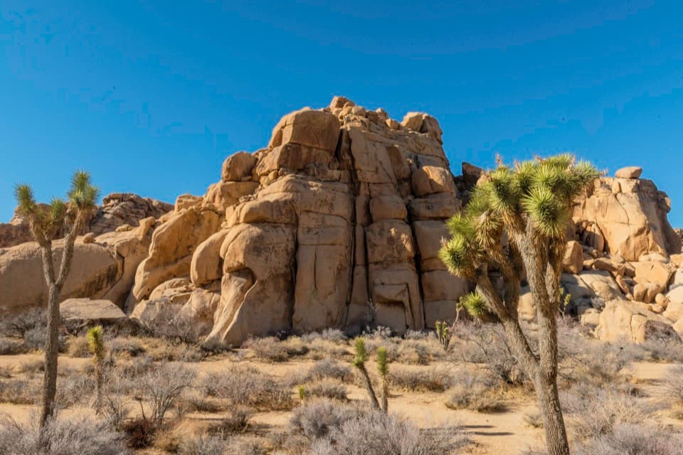 Sight · 0.9 mi awayEcho TA central cluster of climbs between Hidden Valley and Barker Dam.
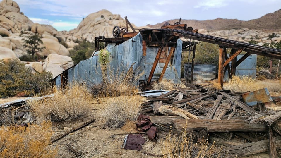 Sight · 0.9 mi awayWall Street MillA sandy walk to an old gold mill and its rusted machinery.
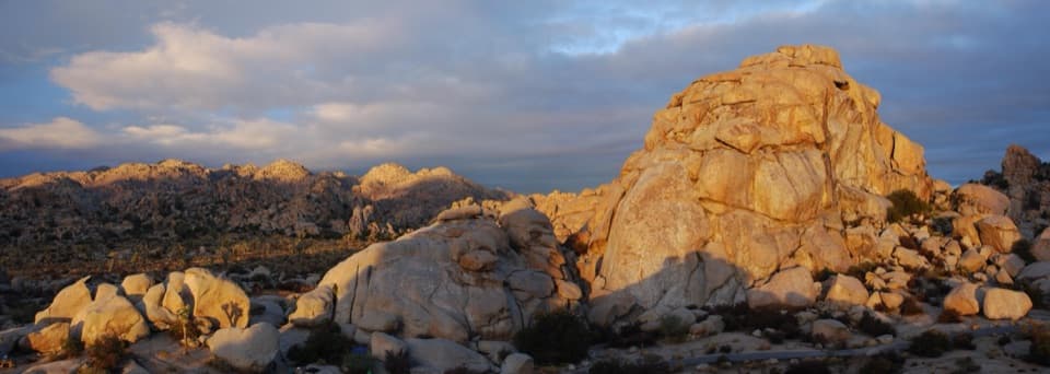 Campground · 1.3 mi awayHidden Valley CampgroundSleep among boulders, with climbing routes beside some campsites.
 Sight · 1.4 mi awayIntersection RockWatch climbers on 40-plus routes, then roam among the boulders.
 Sight · 1.6 mi awayRyan Mountain Stargazing AreaA no-hike night-sky stop with parking, restroom and trail access.
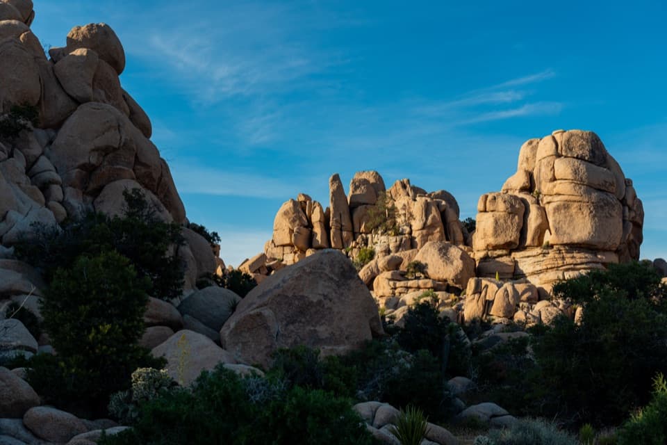 Picnic area · 1.8 mi awayHidden Valley Picnic AreaA rocky picnic spot that doubles as a designated stargazing stop.
Parkwolf’s Joshua Tree ranking
The audio tour guide for the drive, plus offline maps, trails, and wildlife heatmaps for when the signal drops.