Parking
Park at the Fortynine Palms Oasis Trailhead lot, reached from Highway 62 by Canyon Road between Twentynine Palms and Indian Cove. A vault restroom is available at the trailhead.

#4 of 60 trails in Joshua Tree
Joshua Tree National Park, CA
A desert ridge hike ending at a hidden fan palm oasis.
Overview
Map & elevation
Plan your hike

The highest, rockiest slopes around here are a summer buffet for grizzly bears.
Joshua Tree Tour Guide
Parkwolf is a GPS audio tour guide for Joshua Tree National Park. As you drive, it chimes in with what’s ahead: hidden gems, upcoming stops, history, geology, and wildlife, right through your car’s speakers.
See the Joshua Tree audio tourRecorded for this trailhead
Fortynine Palms: Over the Ridge“Up ahead is the Fortynine Palms Oasis trailhead, for a three-mile round trip over an exposed ridge to a spring-fed palm grove. Allow two to three hours, with rocky footing, little shade and a climb on both legs.”
Plays as you drive up to this trailhead in the Parkwolf Joshua Tree Tour Guide.
More stories near here in the app
“Fantastic app with many points of information… It’s great to just turn on while you’re driving and it gives you an audio tour of the national Park. We love it!!!!”


Trail guide
Fortynine Palms Oasis Trail is a 3-mile out-and-back from the parking area above Twentynine Palms. It climbs and dips over an exposed, barrel-cactus-dotted ridge, then descends into a rocky canyon where fan palms gather around a spring. Allow two to three hours. The oasis is a striking change from the dry slopes, and the short mileage hides a steady series of climbs.
The tread is mostly compact dirt, with rocky patches, loose gravel and occasional high steps. The route gains about 300 feet in each direction: first up and over the ridge, then down to the canyon. On the way back, you climb out and cross that same ridge again. The exposed slopes have little shade, so this feels more demanding than a flat three-mile walk. NPS lists it among the park's strenuous hikes and warns against attempting it in the heat. The first glimpse of the palms comes as the trail drops toward the canyon.
Fan palms cluster around a reliable spring at the end of the route. The oasis is a sensitive biological area, and the park asks visitors to stay outside its posted boundary. The water supports wildlife in an otherwise dry mountain landscape; NPS has specifically noted its importance to desert bighorn sheep. The canyon-framed palms are the signature view, so photograph them from the trail instead of entering the protected grove.
The trailhead parking area is reached from Highway 62 by Canyon Road, between Twentynine Palms and Indian Cove; there is a vault restroom at the lot. There is no food or drinking-water service on the route, so bring what you need. Much of the hike is exposed, and the park lists an annual summer closure from June 1 through September 30 because of heat. Check current park conditions before setting out. Dogs are not allowed on this trail.
Wildlife
 129 sightingsBighorn SheepMost seen around 6 PMSighting map
 15 sightingsGolden EagleMost seen around 10 AMSighting map
 413 sightingsDesert TortoiseMost seen around 8 AMSighting map
 275 sightingsCoyoteMost seen around 6 AMSighting map
 47 sightingsBobcatMost seen around 6 PMSighting map
 32 sightingsMule DeerMost seen around 6 AMSighting map
Sighting maps show where each species has been reported across Joshua Tree. Wildlife moves, so no sighting is guaranteed.
Keep exploring
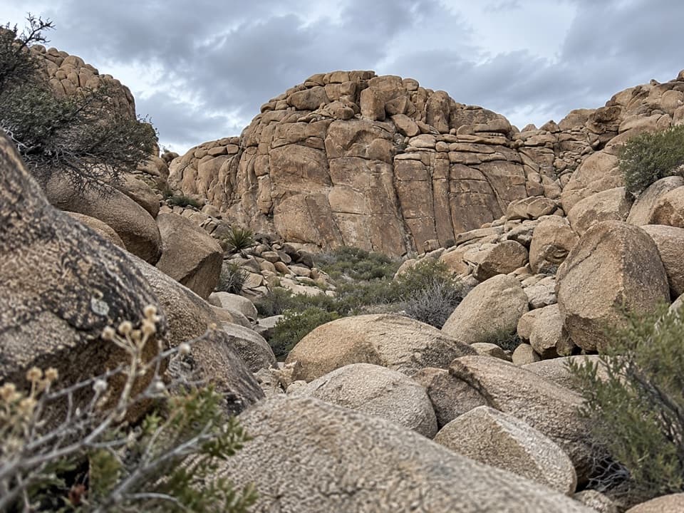 ModerateCorral Wall Loop Trail0.9 mi · 36 min · 2.8 mi awayA short, unmarked rock loop for hikers comfortable scrambling.
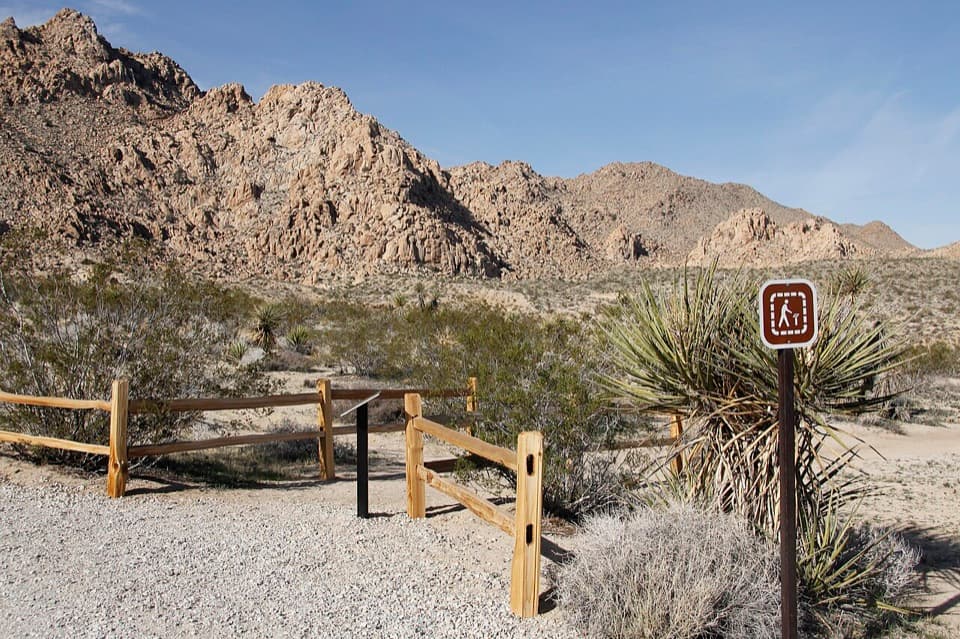 EasyIndian Cove Nature Trail0.6 mi · 36 min · 3.6 mi awayA gentle loop for desert plants, granite, and spring wildflowers.
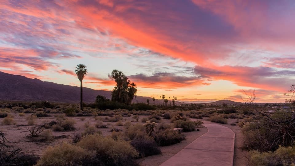 EasyOasis of Mara Trail0.5 mi · 20 min · 4.3 mi awayA half-mile paved loop beneath fan palms, with history on the signs.
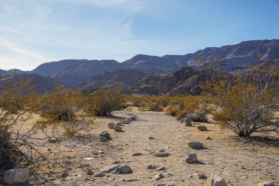 ModerateContact Mine Trail3.8 mi · 2.5 hr · 5.6 mi awayA quiet desert walk ends among century-old mine workings.
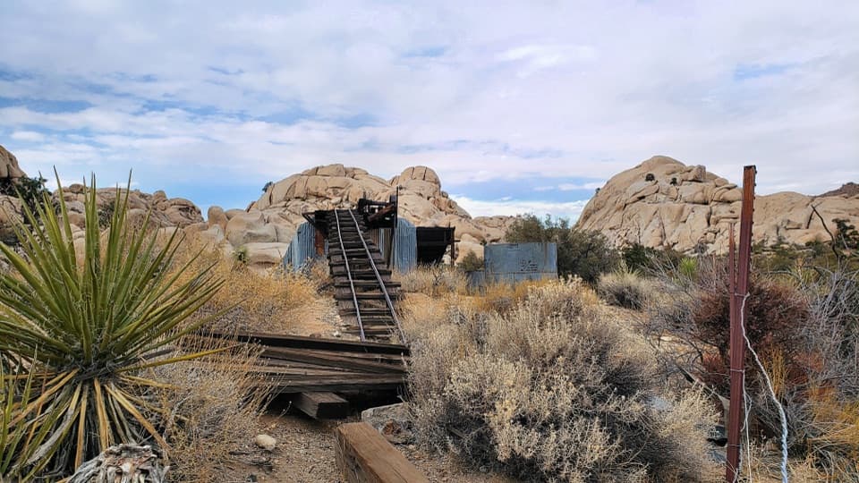 ModerateWall Street Mill Trail2.2 mi · 1 hr · 6.7 mi awayShort, sandy path to a historic gold mill and rusted cars.
 EasyBarker Dam Nature Trail1.3 mi · 1 hr · 6.7 mi awayA short boulder loop to a ranching-era dam
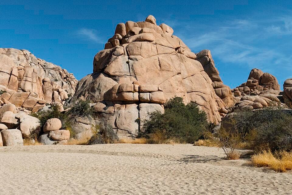 ModerateWillow Hole Trail7 mi · 4 hr · 6.8 mi awayFollow sandy washes to a seasonal willow grove.
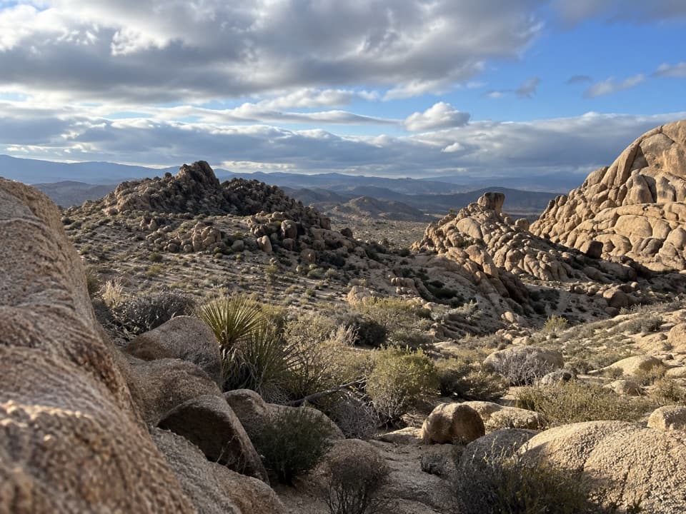 ModerateBig Pine Trail11.2 mi · 6 hr · 6.8 mi awayA rocky wash walk, reached only after a long backcountry approach.
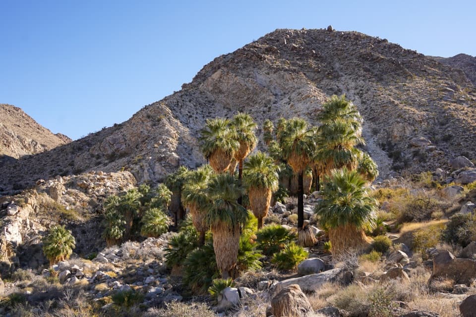 Sight · 1 mi awayFortynine Palms OasisA shaded palm grove at the end of a desert ridge hike.
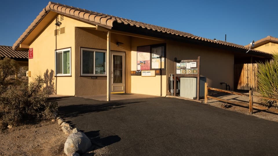 Ranger station · 2.5 mi awayIndian Cove Ranger StationA useful water and information stop for Indian Cove.
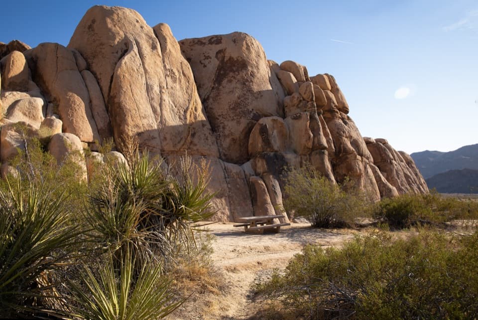 Picnic area · 3 mi awayRattlesnake Picnic AreaA quiet lunch stop beneath Indian Cove’s boulder walls.
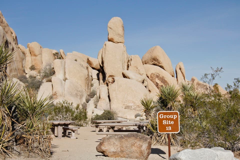 Campground · 3.3 mi awayIndian Cove CampgroundCamp among boulders with climbing and a half-mile nature loop nearby.
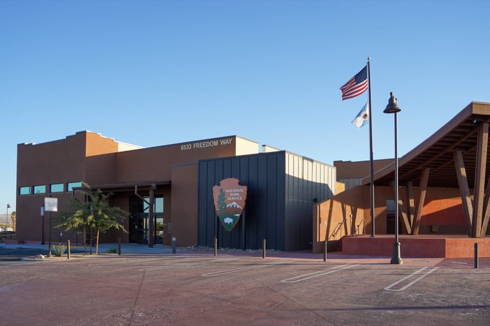 Visitor center · 3.3 mi awayJoshua Tree National Park Visitor CenterA focused cultural introduction before the desert roads.
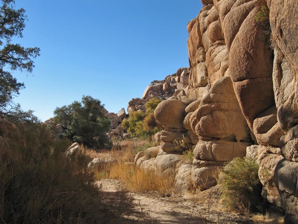 Sight · 4.2 mi awayWillow HoleA seasonal green pocket tucked into a granite maze
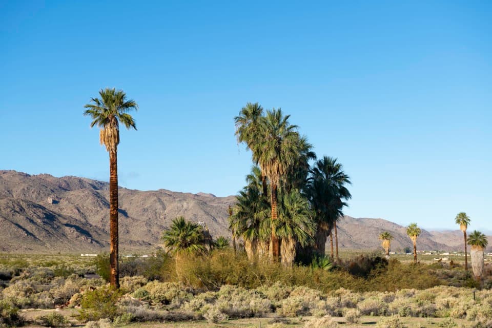 Sight · 4.2 mi awayOasis of MaraA palm grove with a surprisingly deep Serrano story.
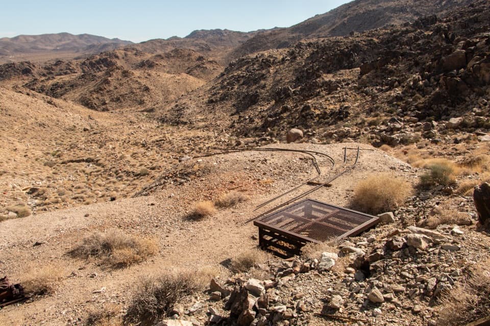 Sight · 4.8 mi awayContact MineOld mine gear at the end of a quieter four-mile desert hike.
Parkwolf’s Joshua Tree ranking

The audio tour guide for the drive, plus offline maps, trails, and wildlife heatmaps for when the signal drops.



