Overview
About Pot Alley
Why stop
- A short route links the cliff view to a small cove and layered sandstone.
Heads up
- The stepped return climb is strenuous for a trail this short.
Map
Where it is

The highest, rockiest slopes around here are a summer buffet for grizzly bears.
Kalbarri Tour Guide
Your drive to Pot Alley, narrated.
Parkwolf is a GPS audio tour guide for Kalbarri National Park. As you drive, it chimes in with what’s ahead: hidden gems, upcoming stops, history, geology, and wildlife, right through your car’s speakers.
See the Kalbarri audio tourRecorded for this place
Pot Alley“You're approaching the access road for Pot Alley, a small coastal gorge with a beach tucked below the cliffs. You can enjoy the view from the parking area without walking down.”
Plays as you drive up to Pot Alley in the Parkwolf Kalbarri Tour Guide.
More stories near here in the app
- Eagle Gorge
- Mushroom Rock and Rainbow Valley
- Warm Water Heading South
- Red Bluff and Pederick Lookout
- 58 audio storiesacross Kalbarri’s roads, triggered by GPS as you drive
- Wildlife heatmapsfor Perentie, Wedge-tailed Eagle, Western Grey Kangaroo, and 13 more
- Works offlinemaps, 18 trails, 19 places, and audio download before you lose signal
- CarPlay readysimple controls built for the drive
“Fantastic app with many points of information… It’s great to just turn on while you’re driving and it gives you an audio tour of the national Park. We love it!!!!”


Guide
More about Pot Alley
Start at the lookoutPot Alley is a coastal gorge on Kalbarri National Park’s Indian Ocean edge, with a small beach…
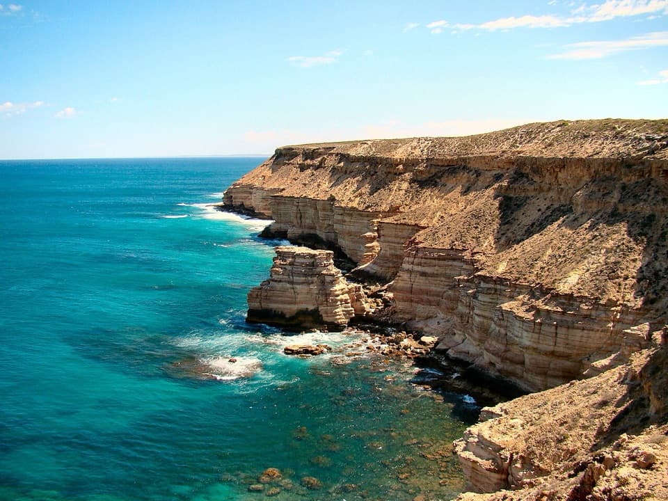
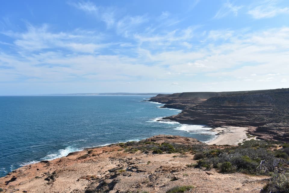
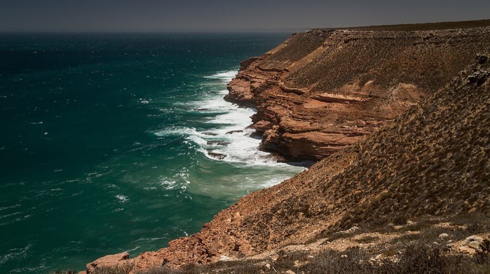
Pot Alley is a coastal gorge on Kalbarri National Park’s Indian Ocean edge, with a small beach below. You get an immediate view from the parking area; the descent is optional. Keep it as a quick stop if you’re short on time, or allow up to an hour to go down and climb back.
Decide about the beach walkThe Pot Alley Beach Trail is a 0.4 km return walk, graded moderate.
The Pot Alley Beach Trail is a 0.4 km return walk, graded moderate. It drops through a sandstone gully on many steps, short steep sections and rough patches. The distance is short, but you have to climb back up the same way, so it takes more effort than the number suggests.
Read the rock bandsLook along the gorge walls for horizontal bands of red and pale sandstone.
Look along the gorge walls for horizontal bands of red and pale sandstone. They’re layers of sand in the Tumblagooda Sandstone, with iron oxides giving the rock its rusty color. The layered cliffs are the reason this little cove feels more enclosed than the open coast above it.
Where the name comes fromLocal crayfishers lost their pots here, which is how Pot Alley got its name.
Local crayfishers lost their pots here, which is how Pot Alley got its name. It’s a small bit of fishing history attached to a place shaped by the coast and the rock.
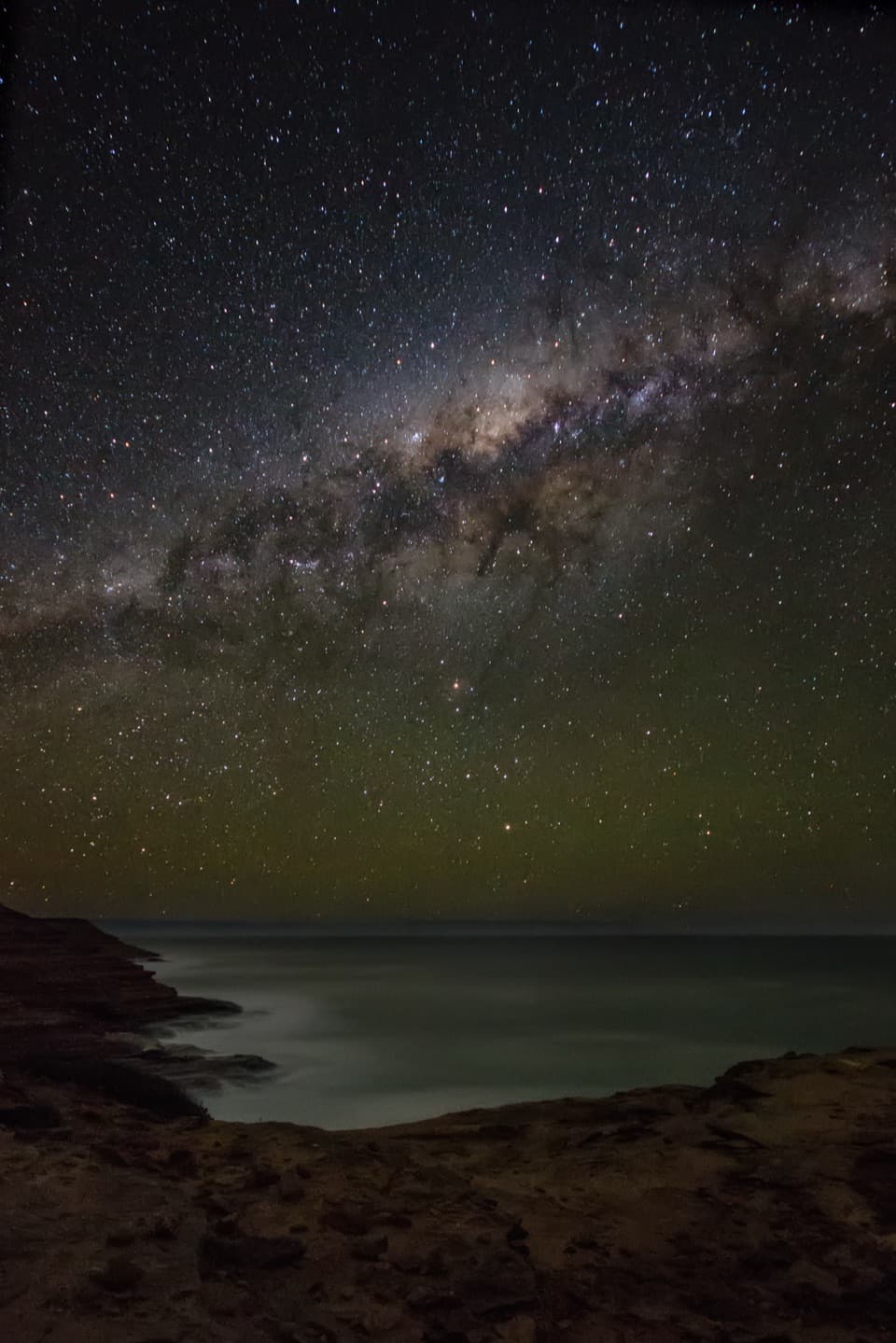
Go for the lightFrom the lookout, include the water below the layered cliffs to show how the coast drops away.
From the lookout, include the water below the layered cliffs to show how the coast drops away. Sunset is a repeat favorite for warmer light on the rocks; down at the beach, the close sandstone layers and cove give you a different view.
Road and shoreThe access road is steep and winding, and isn’t suitable for buses or vehicles towing.
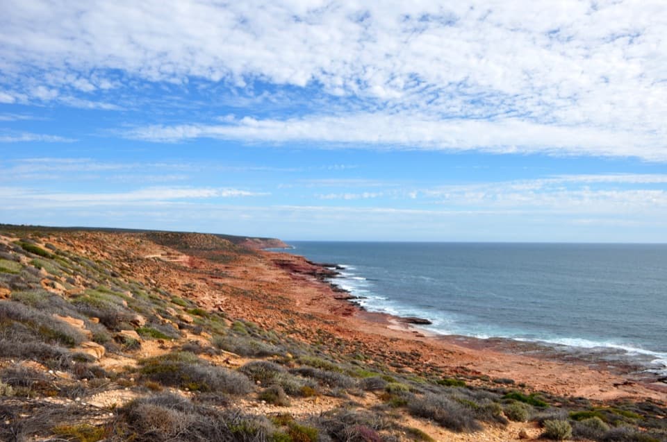
The access road is steep and winding, and isn’t suitable for buses or vehicles towing. This is exposed Indian Ocean coast, so treat the beach as a scenic stop rather than a reliable swimming beach. Stay on paths and away from cliff edges, which can be undercut. Pets aren’t allowed in the national park.
Wildlife
Wildlife in Kalbarri
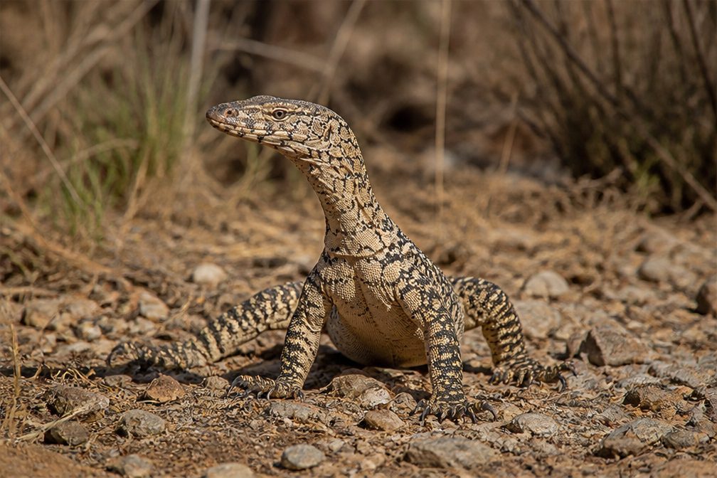 29 sightingsPerentieMost seen around 10 AMSighting map
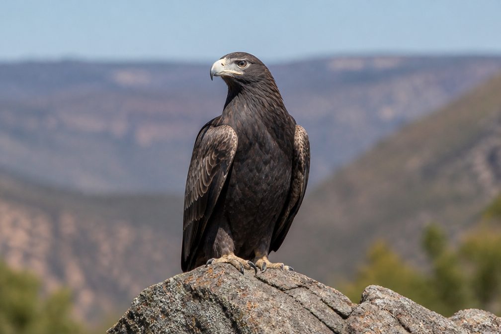 12 sightingsWedge-tailed EagleMost seen around 11 AMSighting map
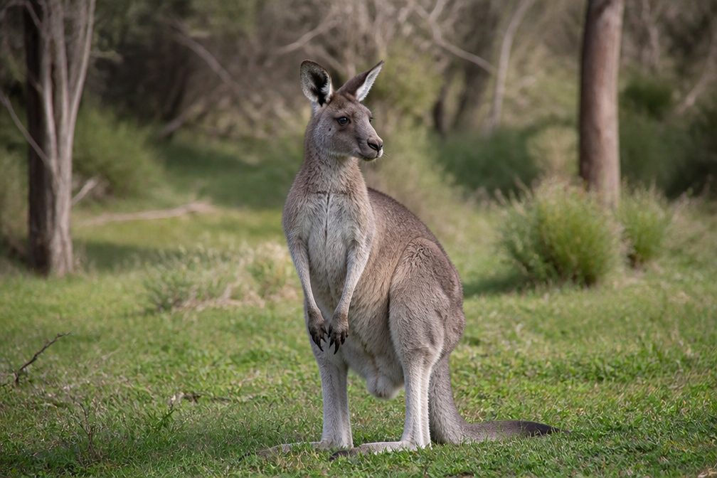 33 sightingsWestern Grey KangarooMost seen around 6 PMSighting map
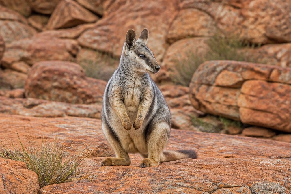 44 sightingsBlack-flanked Rock WallabyMost seen around 6 PMSighting map
 24 sightingsEmuMost seen around 8 AMSighting map
 23 sightingsEchidnaMost seen around 7 PMSighting map
Sighting maps show where each species has been reported across Kalbarri. Wildlife moves, so no sighting is guaranteed.