Overview
About Rainbow Valley
Why stop
- Iron-stained sandstone and ocean views in one short circuit.
Heads up
- Class 4 footing has steep, loose and exposed sections.
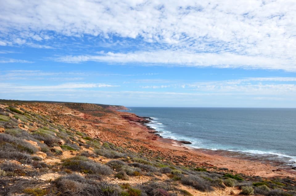
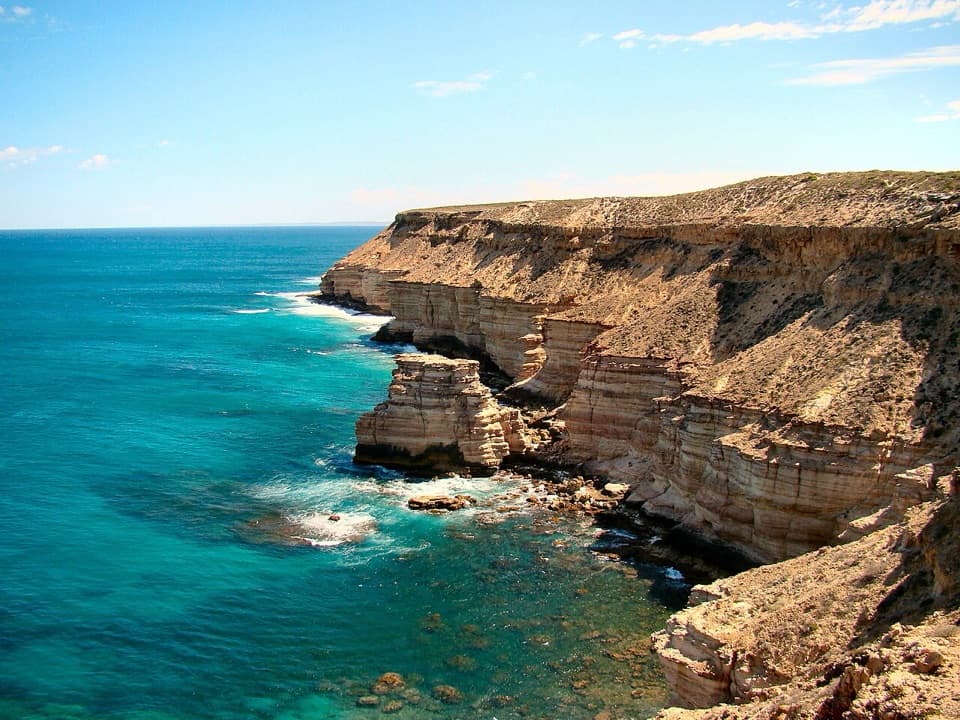
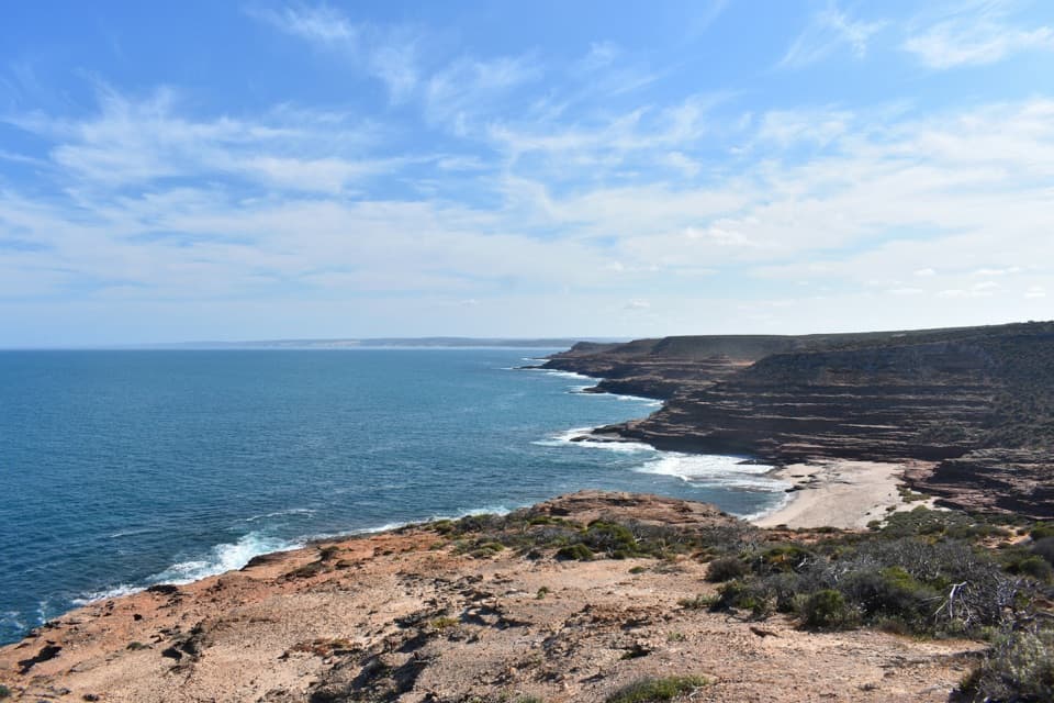
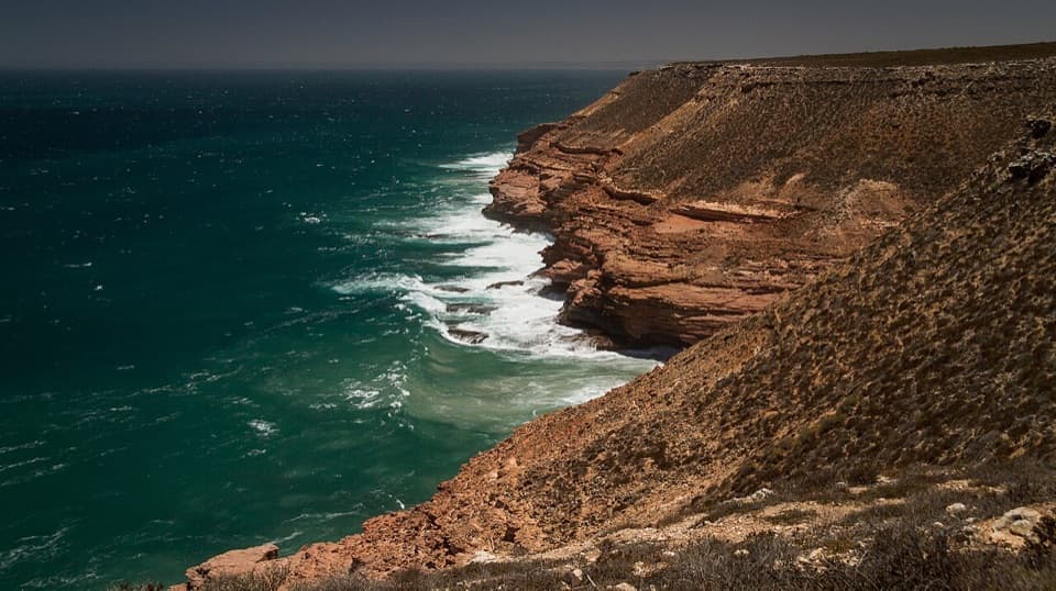
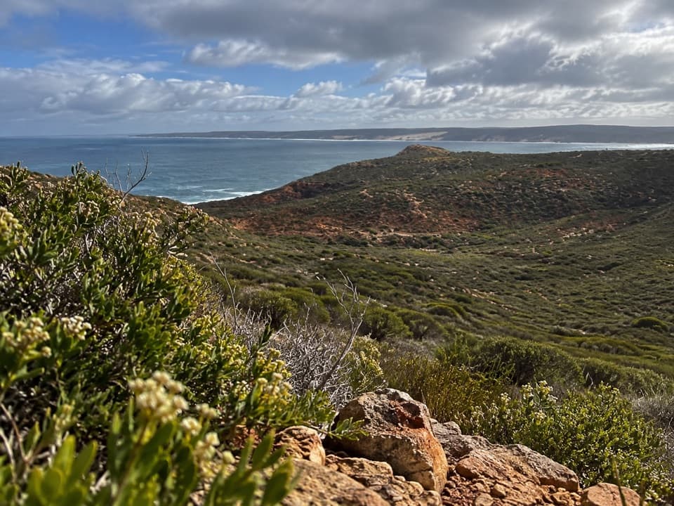
Rainbow Valley is a coastal geology stop in Kalbarri National Park, where red-and-white bands of Tumblagooda Sandstone meet the Indian Ocean. The 3 km route links the Rainbow Valley and Mushroom Rock parking areas, crossing the valley and following the cliff tops. Do it if you want close rock detail as well as sea views; you can see some of the coastal features near the Rainbow Valley car park without walking the whole circuit. DBCA allows 1–2 hours, and I’d leave extra time for the interpretive signs.
 Parkwolf’s verdictWhy stop here?
Map
Where it is

The highest, rockiest slopes around here are a summer buffet for grizzly bears.
Kalbarri Tour Guide
Your drive to Rainbow Valley, narrated.
Parkwolf is a GPS audio tour guide for Kalbarri National Park. As you drive, it chimes in with what’s ahead: hidden gems, upcoming stops, history, geology, and wildlife, right through your car’s speakers.
See the Kalbarri audio tourRecorded for this place
Mushroom Rock and Rainbow Valley“You're nearing the access for Mushroom Rock and Rainbow Valley, a good choice if you'd like to explore the coastal sandstone on foot.”
Plays as you drive up to Rainbow Valley in the Parkwolf Kalbarri Tour Guide.
More stories near here in the app
- Pot Alley
- Red Bluff and Pederick Lookout
- Red Bluff Beach
- Eagle Gorge
- 58 audio storiesacross Kalbarri’s roads, triggered by GPS as you drive
- Wildlife heatmapsfor Perentie, Wedge-tailed Eagle, Western Grey Kangaroo, and 13 more
- Works offlinemaps, 18 trails, 19 places, and audio download before you lose signal
- CarPlay readysimple controls built for the drive
“Fantastic app with many points of information… It’s great to just turn on while you’re driving and it gives you an audio tour of the national Park. We love it!!!!”


Guide
More about Rainbow Valley
What the walk asks of youThis is a Class 4 trail, with loose rock, uneven footing, steps, short steep sections and some…
This is a Class 4 trail, with loose rock, uneven footing, steps, short steep sections and some rock hopping. Parts along the coast are exposed, and wet rocks can be slippery; DBCA also warns about strong winds on those sections. Start at either car park and take your time. It’s a good short outing if you’re comfortable on rough ground, but it isn’t a casual lookout path.
Why the sandstone is stripedThe bands and blotches are red and white because iron oxides stained the sandstone.
The bands and blotches are red and white because iron oxides stained the sandstone. The staining can bring out old ripples and burrows in the rock, and signs along the walk explain the geology and plants. Look for those small marks as well as the big stripes; they’re easy to miss when you’re focused on the coast.
A very old shorelineThe Tumblagooda Sandstone formed from layers of sand across a coastal plain more than 100 km…
The Tumblagooda Sandstone formed from layers of sand across a coastal plain more than 100 km wide, with shifting river channels, tidal flats and a large inland sea. Trackways and burrows record arthropods moving through those old environments. The formation’s age is still uncertain: published estimates range from Cambrian to Cretaceous, with the middle Palaeozoic considered most likely. The only body fossil reported so far is an impression of Kalbarria, an extinct euthycarcinoid.
Put the rock against the seaFor a photo, frame the red-and-white layers with the blue water behind them; that gives you the…
For a photo, frame the red-and-white layers with the blue water behind them; that gives you the geology and the coastal setting in one shot. The official site says the features are visible near the car park as well as from the trail, and the walk gets you closer to the rock. Pets aren’t allowed in the park, which also warns that 1080 baits are laid in or around this area.
Wildlife
Wildlife in Kalbarri
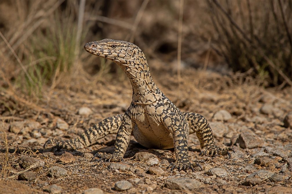 29 sightingsPerentieMost seen around 10 AMSighting map
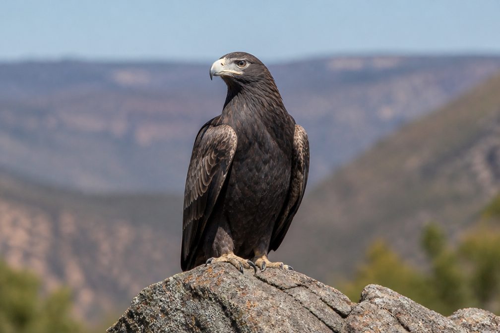 12 sightingsWedge-tailed EagleMost seen around 11 AMSighting map
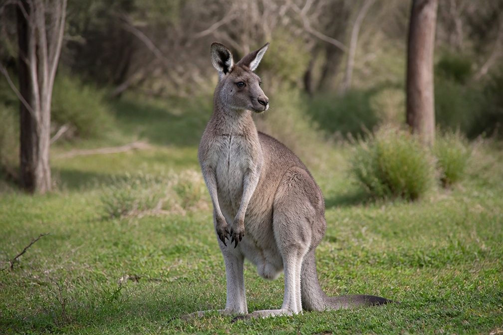 33 sightingsWestern Grey KangarooMost seen around 6 PMSighting map
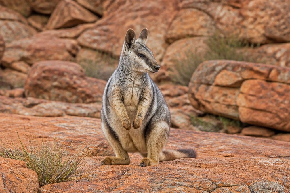 44 sightingsBlack-flanked Rock WallabyMost seen around 6 PMSighting map
 24 sightingsEmuMost seen around 8 AMSighting map
 23 sightingsEchidnaMost seen around 7 PMSighting map
Sighting maps show where each species has been reported across Kalbarri. Wildlife moves, so no sighting is guaranteed.