Parking
Use the Red Bluff parking area on Red Bluff Road; the sealed lookout path starts there.
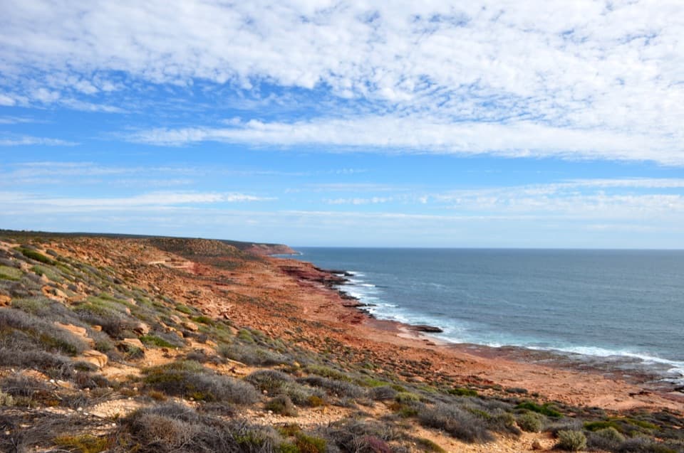
Kalbarri National Park, WA
Two coastal lookouts on an easy, sealed 0.7-mile return walk.
Overview
Map & elevation
Plan your hike

The highest, rockiest slopes around here are a summer buffet for grizzly bears.
Kalbarri Tour Guide
Parkwolf is a GPS audio tour guide for Kalbarri National Park. As you drive, it chimes in with what’s ahead: hidden gems, upcoming stops, history, geology, and wildlife, right through your car’s speakers.
See the Kalbarri audio tourRecorded for this trailhead
Red Bluff and Pederick Lookout“You're nearing Red Bluff, where red sandstone shelves stretch out above the Indian Ocean.”
Plays as you drive up to this trailhead in the Parkwolf Kalbarri Tour Guide.
More stories near here in the app
“Fantastic app with many points of information… It’s great to just turn on while you’re driving and it gives you an audio tour of the national Park. We love it!!!!”


Trail guide
This is an easy, sealed 1.1 km (about 0.7 mile) out-and-back from the Red Bluff parking area to the coastal lookouts. The mapped path is about 550 m each way; a published 500 m figure does not say whether it includes the return. Allow about 20 to 30 minutes if you stop at both viewpoints. This is the lookout walk, not the separate steep descent to Red Bluff Beach.
The path starts on asphalt and continues on concrete toward the headland. Pederick Lookout comes first, with signs about the area and a view north toward the Zuytdorp Cliffs. Continue along the same path to Red Bluff Lookout. From there, you can pick out Red Bluff Beach, Wittecarra Beach, Jake's Point, the Murchison River mouth and Meanarra Hill. A few steps near the far end have been reported, so check the on-site access if you need a fully step-free route.
The headland is open to the wind and the route runs close to steep coastal edges. Stay on the sealed path and lookout area. There is no beach access on this walk; the rougher Bluff to Beach trail branches off separately and is a different, steeper outing. Pets are not allowed in Kalbarri National Park, and DBCA reports that 1080 baits are laid in or around this area on an ongoing basis.
This is Nanda Country; DBCA recognises Nanda people as the Traditional Owners of the park. Just north of Red Bluff, Wittecarra Creek is believed to be where two survivors of the 1629 Batavia mutiny were put ashore. Wouter Loos and Jan Pelgromm were left there after the shipwreck and their fate is unknown. From Pederick Lookout, frame the red shelves with a little surf below to show how the coast meets the Indian Ocean.
Wildlife
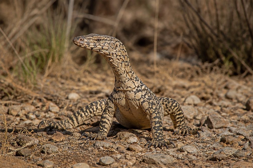 29 sightingsPerentieMost seen around 10 AMSighting map
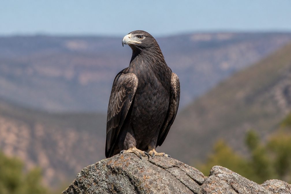 12 sightingsWedge-tailed EagleMost seen around 11 AMSighting map
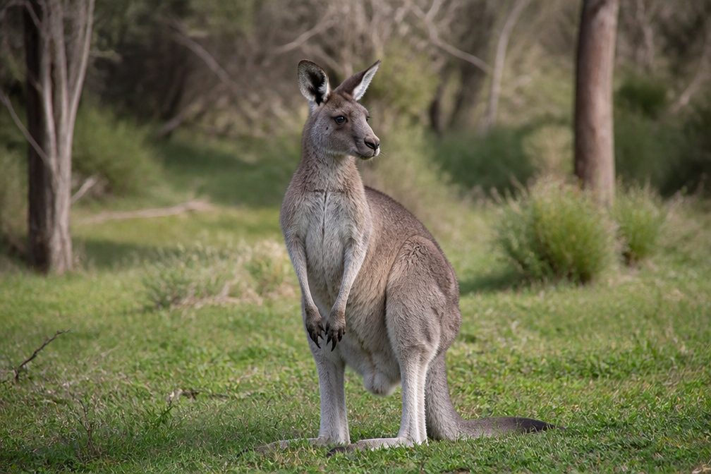 33 sightingsWestern Grey KangarooMost seen around 6 PMSighting map
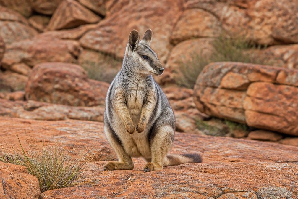 44 sightingsBlack-flanked Rock WallabyMost seen around 6 PMSighting map
 24 sightingsEmuMost seen around 8 AMSighting map
 23 sightingsEchidnaMost seen around 7 PMSighting map
Sighting maps show where each species has been reported across Kalbarri. Wildlife moves, so no sighting is guaranteed.
Keep exploring
 ModerateRed Bluff to Beach Trail1.3 km · 45 min · 0.3 km awayA short, steep descent opens onto Red Bluff Beach.
 ModerateMushroom Rock Trail2.4 km · 1 hr · 0.3 km awayA rocky coastal loop through fossil-rich Kalbarri sandstone.
 ModeratePot Alley Beach Trail0.5 km · 20 min · 1.6 km awayStepped sandstone down to the beach, about 465 m return.
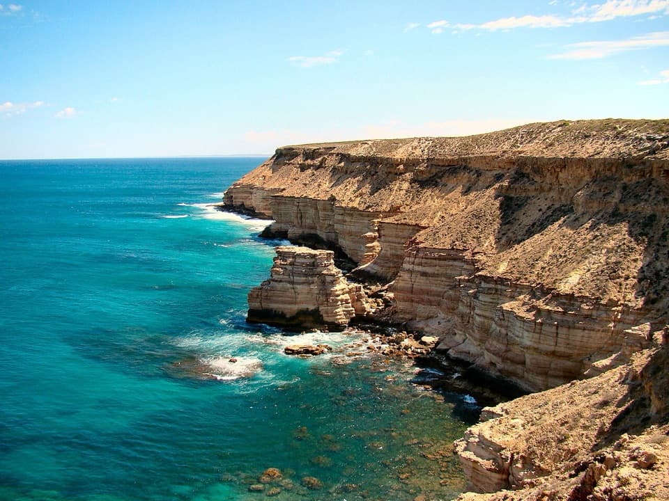 ModerateBigurda Trail8 km · 4 hr · 2.3 km awayEight coastal kilometres, with Island Rock and Natural Bridge en route.
 EasyEagle Gorge Lookout Walk0.3 km · 10 min · 2.5 km awayA short paved path opens to red cliffs and the Indian Ocean.
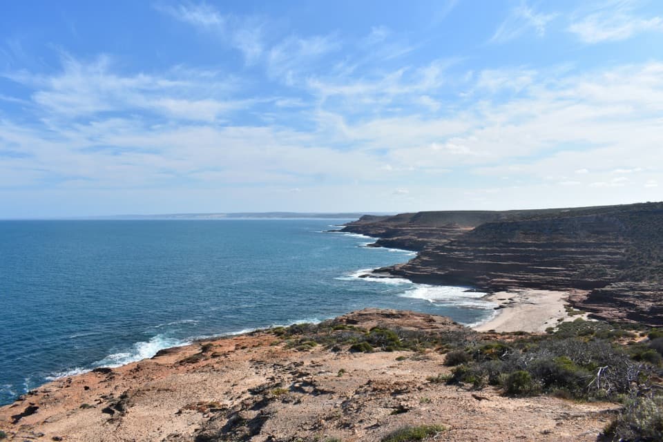 ModerateEagle Gorge Beach Trail1 km · 45 min · 2.5 km awayA small beach at the end of a steep sandstone descent.
 EasyNatural Bridge to Island Rock1.8 km · 1 hr · 9.3 km awayAn easy coast walk to a sculpted sandstone sea stack.
 ModerateMalleefowl Trail1.6 km · 45 min · 9.4 km awayA rocky coastal-heath loop with a chance to spot malleefowl.Sight · 0.4 km awayRed BluffAn easy sealed walk opens onto red cliffs above the Indian Ocean.
 Sight · 0.6 km awayMushroom RockRed sandstone shelves make the rugged coastal circuit worthwhile.
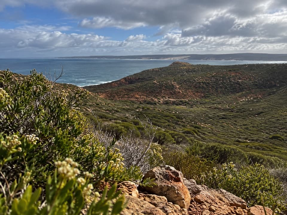 Sight · 0.9 km awayRainbow ValleyRed-and-white bands meet open cliffs above the Indian Ocean.
 Beach · 1 km awayRed Bluff BeachPale sand, red cliffs and turquoise water, especially near sunset.
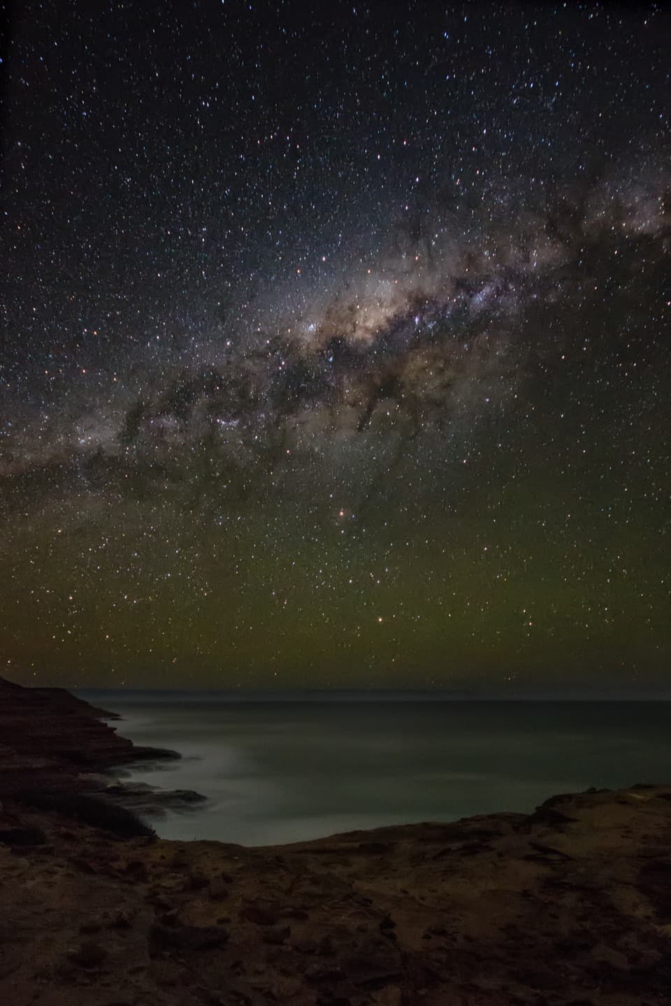 Sight · 1.6 km awayPot AlleyA quick cliffside stop, or a steep little hike to the cove.
 Sight · 2.4 km awayEagle GorgeA coastal lookout with steep switchbacks to the beach below.
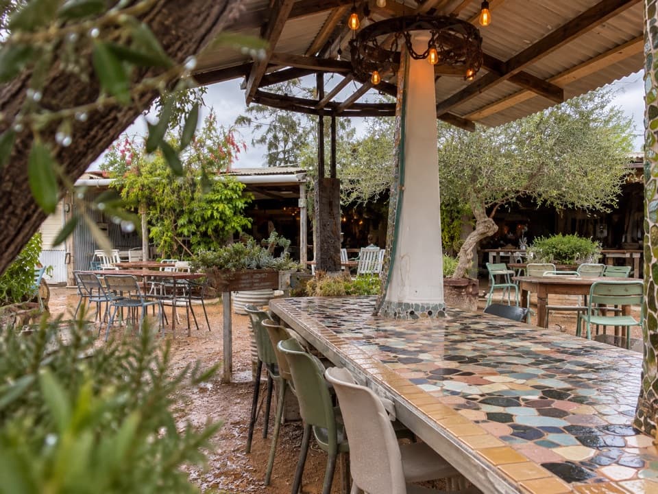 Restaurant · 4.6 km awayFinlay's KalbarriLocal seafood, onsite beer, and a fish-export story.
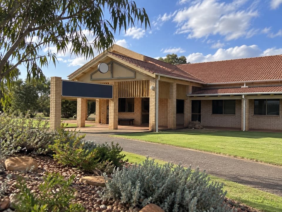 Visitor center · 5.1 km awayKalbarri Visitor CentreGet maps, day passes and local advice before heading out.
Parkwolf’s Kalbarri ranking

The audio tour guide for the drive, plus offline maps, trails, and wildlife heatmaps for when the signal drops.


