Exit Glacier Roadside Viewpoint in Kenai Fjords National Park

Scenic pullout · Kenai Fjords National Park

Exit Glacier Roadside Viewpoint

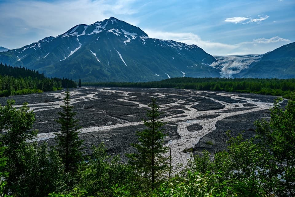
A quick roadside look across the outwash plain toward Exit Glacier.

Type
Scenic pullout
Nearest trail
1.5 mi
Audio stories
9 nearby
  • Pullout
  • Scenic viewpoint
  • #12 of 30 sights

Hear the audio tour

Exit Glacier Roadside Viewpoint

Overview

About Exit Glacier Roadside Viewpoint

Why stop

  • A west-facing glacier view across its broad outwash plain.

Heads up

  • The glacier is distant; the closer views require continuing to the nature-center trails.

Map

Where it is

Loading the Kenai Fjords map
Full map
Scenic pulloutExit Glacier Roadside Viewpoint60.19077, -149.58701
Keep this map with you offline in the Parkwolf app

Plan your stop

Before you go

5 active Kenai Fjords alerts

  • ClosureHerman Leirer Road to Exit Glacier closed to carsMentions Herman Leirer Road, referenced in this guideHerman Leirer Road, the only road access into Kenai Fjords National Park, is currently closed to automobile traffic.Official details
  • ClosureExit Glacier canyon closure: sudden outburst-flood riskMentions Exit Glacier, referenced in this guideThe canyon from Exit Glacier’s toe to where Exit Creek opens into the Outwash Plain is closed; stay on designated park trails.Official details

See all 5 alerts
A park ranger sits on a dash-mounted phone, talking, as Parkwolf’s Tour Guide plays “Army Cutworm Moths: A Grizzly Bear Buffet” on Grand Loop Road below Dunraven Pass in Yellowstone
Parkwolf Tour GuideThe highest, rockiest slopes around here are a summer buffet for grizzly bears.

Kenai Fjords Tour Guide

Your drive to Exit Glacier Roadside Viewpoint, narrated.

Parkwolf is a GPS audio tour guide for Kenai Fjords National Park. As you drive, it chimes in with what’s ahead: hidden gems, upcoming stops, history, geology, and wildlife, right through your car’s speakers.

Recorded for this place

Exit Glacier Roadside Viewpoint
0:00 / 0:18
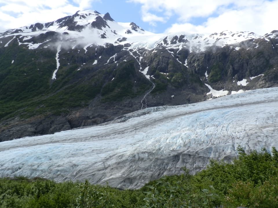
“Exit Glacier Roadside Viewpoint is coming up. It's a quick stop for a distant view of the ice between steep mountain slopes, with braided streams spreading across the gravel plain in front.”

Plays as you drive up to Exit Glacier Roadside Viewpoint in the Parkwolf Kenai Fjords Tour Guide.

More stories near here in the app

  • An Orca Family’s Voice
  • Harding Icefield Trail
  • The Glacier's Tiny Grazers
  • Exit Glacier Campground
  • 20 audio storiesacross Kenai Fjords’s roads, triggered by GPS as you drive
  • Wildlife heatmapsfor Orca, Humpback Whale, Black Bear, and 13 more
  • Works offlinemaps, 5 trails, 37 places, and audio download before you lose signal
  • CarPlay readysimple controls built for the drive
★★★★★
“Fantastic app with many points of information… It’s great to just turn on while you’re driving and it gives you an audio tour of the national Park. We love it!!!!”
JMJamesApp Store review
Download Parkwolf on the App StoreGet Parkwolf on Google Play

4.7 from 8,600+ ratings

Guide

More about Exit Glacier Roadside Viewpoint

A quick glacier viewExit Glacier Roadside Viewpoint is a named roadside stop on Herman Leirer Road, on the drive…

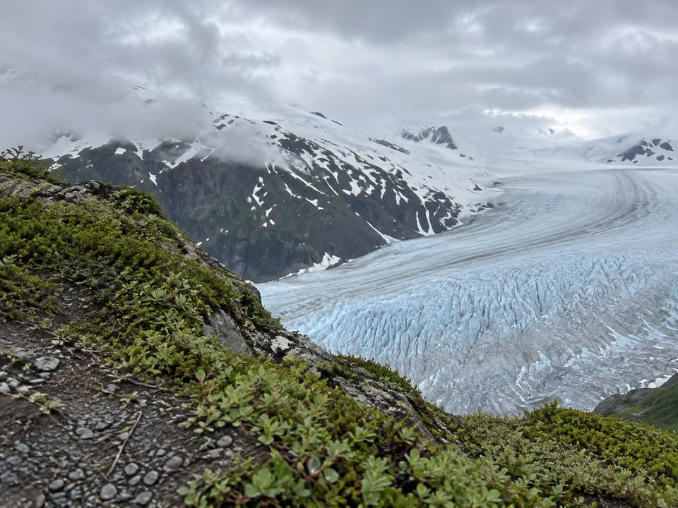
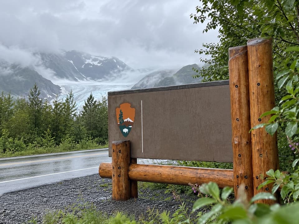
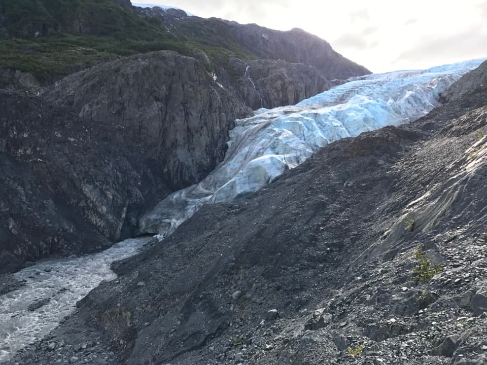
Exit Glacier Roadside Viewpoint is a named roadside stop on Herman Leirer Road, on the drive toward Kenai Fjords’ Exit Glacier area. It faces west across the braided outwash plain toward the glacier between steep mountain slopes. Treat it as a quick, distant view: the trails farther west by the nature center get you closer to the ice.

How it fits the visitThis is separate from Glacier View Loop and the trail to Exit Glacier Overlook, which start at…

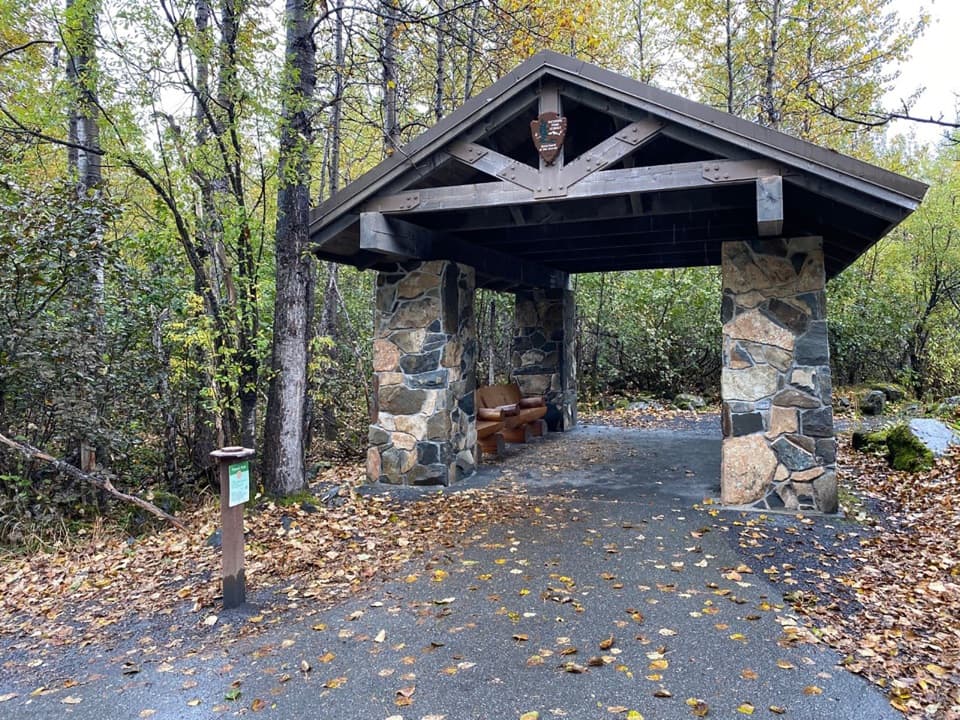
This is separate from Glacier View Loop and the trail to Exit Glacier Overlook, which start at the nature-center area. The Exit Glacier area is the only part of Kenai Fjords National Park accessible by road. For restrooms, summer water and picnic tables, continue to the nature-center parking area; those facilities aren’t verified at this roadside stop.

Plan for the roadHerman Leirer Road branches from Seward Highway at mile 3 and runs 8.

Herman Leirer Road branches from Seward Highway at mile 3 and runs 8.4 miles to the nature-center parking area. This viewpoint is on the approach, east of the center. The road is usually inaccessible to cars from late October through mid-May because of snow, so check current conditions before a winter drive. There’s no mobile reception recorded here; load directions before setting out.

What the glacier leaves behindThe view crosses a broad plain of gravel and braided channels between the forest and the ice.

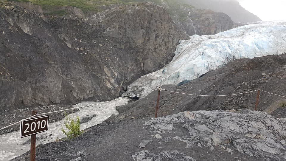
The view crosses a broad plain of gravel and braided channels between the forest and the ice. As Exit Glacier retreats, it exposes barren ground that plants gradually reclaim; the wider area makes that process easy to understand.

Frame the whole valleyFor a photo, keep some of the outwash plain and its braided streams in front of the glacier.

For a photo, keep some of the outwash plain and its braided streams in front of the glacier. That foreground shows the distance between the roadside viewpoint and the ice, and gives the glacier a sense of scale.

Wildlife

Wildlife in Kenai Fjords

All Kenai Fjords wildlife maps

Sighting maps show where each species has been reported across Kenai Fjords. Wildlife moves, so no sighting is guaranteed.

Keep exploring

Near Exit Glacier Roadside Viewpoint

See it all on the map

Trails nearby

More stops nearby

Parkwolf’s Kenai Fjords ranking

Top sights in Kenai Fjords

All 37 places
  1. 1Exit Glacier OverlookSight
  2. 2Aialik GlacierSight
  3. 3Harding Icefield OverlookSight
  4. 4Glacier ViewSight
  5. 5Holgate GlacierSight
  6. 6Northwestern GlacierSight

Take Parkwolf to Kenai Fjords.

The audio tour guide for the drive, plus offline maps, trails, and wildlife heatmaps for when the signal drops.

4.7 from 8,600+ ratings

Download Parkwolf on the App StoreGet Parkwolf on Google Play