
Place · 0 mi away
Moderate
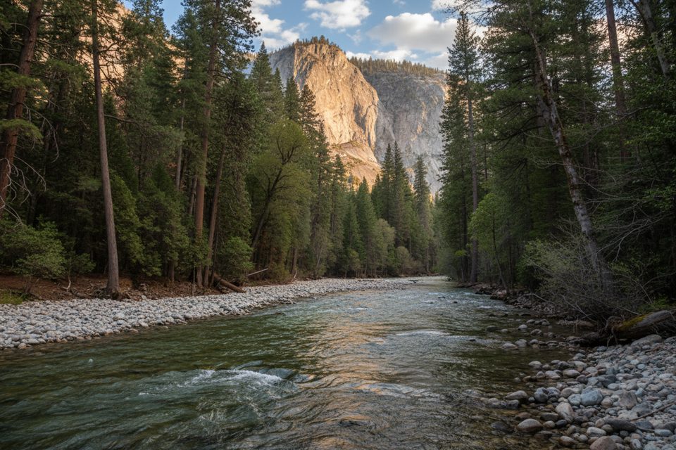
This is Cedar Grove’s easy win: a mostly flat, 5-mile loop (total distance) with roughly 150 feet of gain that packs in huge granite walls, the South Fork Kings River, and mixed conifer forest. It’s commonly rated moderate but feels approachable for most hikers who are comfortable with a few sandy and rocky stretches. Expect about 2 to 2.5 hours at a casual pace.
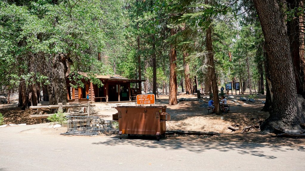
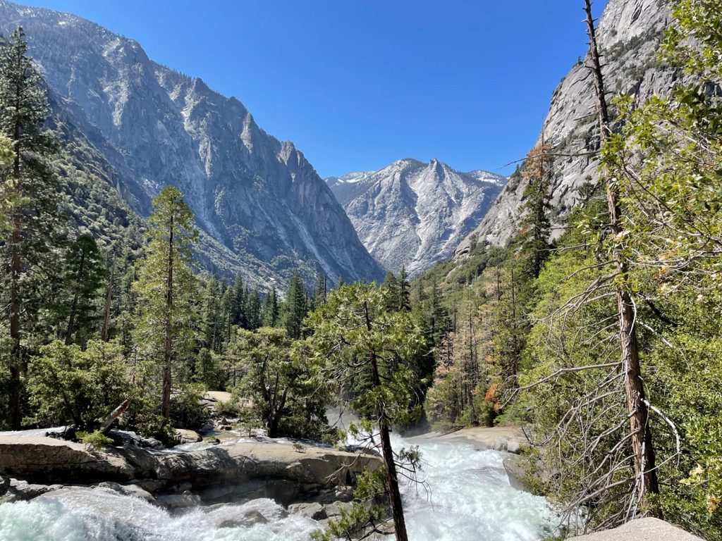
Start at Roads End (restrooms and bear boxes available). Head upstream along the north side of the river past the permit station and signboards for Mist Falls/Paradise Valley. You’ll cross Copper Creek, cruise a sandy bench with big canyon views, then slip into denser forest with ferns. Around 2 miles, turn right toward Bubbs Creek and cross the sturdy bridge over the South Fork Kings River. Now on the south side, the trail gets a bit rougher underfoot with stretches of granite and seasonal creek crossings; keep an eye out for open viewpoints, easy river access, and a small waterfall on Avalanche Creek. Near mile 3.9 there’s a lone boulder with historic graffiti from 1912. The loop closes by crossing Red Bridge near the parking area, where the river is calm upstream and turns to whitewater below.
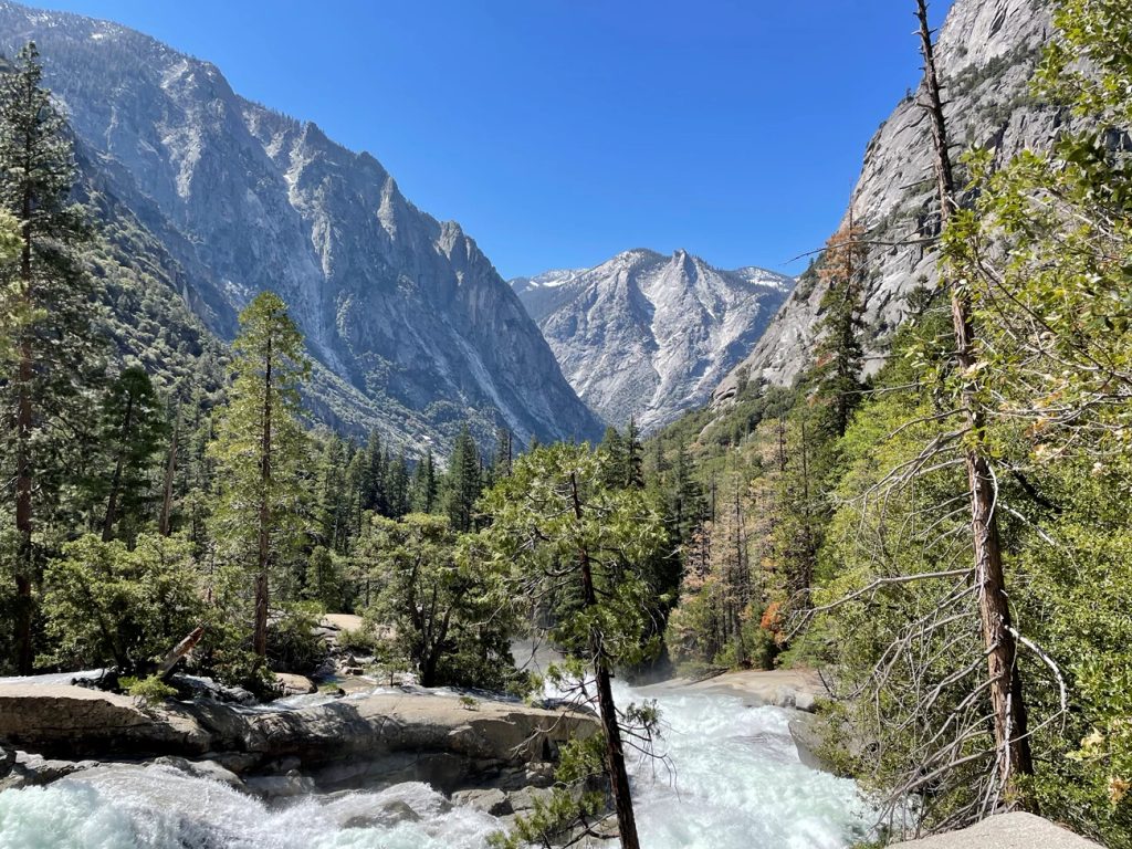
This U-shaped glacial canyon is all drama—jagged bluffs and cliff faces loom thousands of feet above the river. You’ll walk through shady stands of pine, cedar, and fir, spot sugar pines with extra‑long cones, and enjoy frequent glimpses of emerald-toned water. Views of distinctive peaks like the Sphinx add some “name-that-summit” fun.
Either direction works. If you want a longer, bigger‑payoff day, continue from the north-bank junction toward Mist Falls instead of closing the loop—an extremely popular extension with roaring river energy. For an easy sampler elsewhere in Cedar Grove, Zumwalt Meadow pairs well with this loop on a different day. Anglers will appreciate the south-side river access in a few open stretches.
Plan this one when the Cedar Grove road is open—typically late spring through fall. The sweet spot is May through October, with cooler temps early and late in the season. Summer heat builds quickly on the sandy sections, so start early for shade and easier parking. In spring and early summer, expect higher flows that can make minor creek crossings on the south side more involved.
No wilderness permit is needed for day hiking here. Pets and bikes are not allowed on park trails. Seasonal access to Highway 180 varies; in late fall, winter, and spring, road closures and chain requirements are possible. Trail conditions and bridge status can shift with storms, runoff, and fire effects; check with park staff for the latest. Wildfire-affected areas may contain downed trees and other hazards—stay alert.
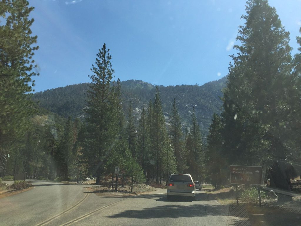
Park at Roads End in Cedar Grove (about 5.5 miles east of the village). Large lot with restrooms and bear boxes for food and scented items.
Spring and early summer runoff can complicate unimproved creek crossings on the south side. Seasonal road access to Cedar Grove varies; check status before you go. Fire-affected areas may have downed trees and other hazards—verify current conditions with park staff.
Place · 0 mi away
Place · 0.1 mi away
Place · 0.2 mi away
Place · 0.2 mi away
Challenging · 0 mi away
Challenging · 0 mi away
Challenging · 0 mi away
Moderate · 0 mi away

Parkwolf Tour Guide
