Parking
Use the Kimpton Creek parking pullout on Highway 93 South, about 9 km east of Radium Hot Springs. Walk about 100 m southwest alongside the highway to the small footbridge and trail entrance.

Kootenay National Park, BC
A shaded creek walk on a narrow, sometimes rough forest trail.
Overview
Map & elevation
Plan your hike

The highest, rockiest slopes around here are a summer buffet for grizzly bears.
Kootenay Tour Guide
Parkwolf is a GPS audio tour guide for Kootenay National Park. As you drive, it chimes in with what’s ahead: hidden gems, upcoming stops, history, geology, and wildlife, right through your car’s speakers.
See the Kootenay audio tourRecorded for this trailhead
Kimpton Creek: A Shaded Forest Walk“The Kimpton Creek trailhead is coming up, for a shaded forest walk beside the creek. Allow two to three hours for the roughly six-and-a-half-kilometre return walk shown in the app, which stops short of the full trail.”
Plays as you drive up to this trailhead in the Parkwolf Kootenay Tour Guide.
More stories near here in the app
“Fantastic app with many points of information… It’s great to just turn on while you’re driving and it gives you an audio tour of the national Park. We love it!!!!”


Trail guide
Kimpton Creek is an out-and-back through a cool, forested creek valley. Parks Canada lists the full trail at 4.6 km one way (about 9.2 km return) and estimates three hours; route descriptions put the end at a trail sign. The line that can be mapped with confidence covers about 3.2 km each way from the footbridge. The route shown here turns back at that mapped endpoint for about 4.0 miles total, roughly two to three hours. It ends about 1.4 km short of the full trail's reported end because there is no reliable line for that last stretch. Use Parks Canada's directions if you plan to continue beyond the mapped route.
Park at the Kimpton Creek pullout on Highway 93 South, about 9 km east of Radium Hot Springs. Walk about 100 m southwest alongside the highway, then cross the small footbridge to reach the trail. Follow the creek into shaded forest and return by the same tread; there is no loop. Intermittent views of nearby peaks break through the trees, but this is mainly a forest-and-creek walk.
Route descriptions and visitor reports mention narrow brush, exposed roots and fallen trees that can mean stepping over or ducking under obstacles. That can slow the pace and make footing uneven. Dogs are permitted on leash; stay on designated trails and follow Parks Canada's bear-safety guidance. Cell service is unavailable on most park trails, so carry a way to reach help and check the current trail report before setting out.
Wildlife
 41 sightingsGrizzly BearMost seen around 8 PMSighting map
 31 sightingsGray WolfMost seen around 8 PMSighting map
 22 sightingsMooseMost seen around 6 AMSighting map
 84 sightingsMountain GoatMost seen around 7 PMSighting map
 522 sightingsBighorn SheepMost seen around 7 AMSighting map
 65 sightingsElkMost seen around 6 AMSighting map
Sighting maps show where each species has been reported across Kootenay. Wildlife moves, so no sighting is guaranteed.
Keep exploring
 ChallengingKindersley Pass20 km · 8 hr · 2.2 km awayA big climb with its broadest views beyond the pass.
 ModerateRedstreak Creek Trail4.6 km · 1.5 hr · 2.6 km awayA quiet creek walk with a steady climb through shaded forest.
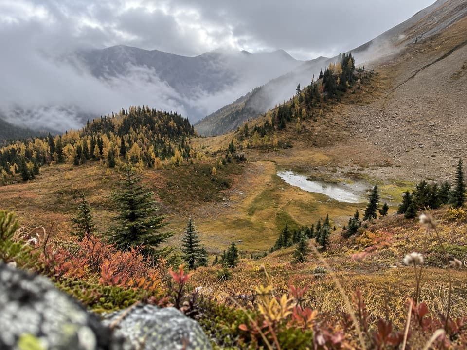 ChallengingKindersley-Sinclair Loop16.3 km · 8 hr · 3.3 km awayA hard climb through meadows to a high col; arrange the shuttle.
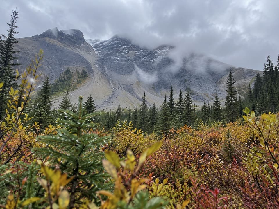 ChallengingSinclair Creek Trail12.4 km · 6 hr · 3.3 km awayA steep climb from the creek to alpine meadows below the col.
 EasyOlive Lake Trail0.6 km · 15 min · 3.9 km awayA quick boardwalk break gives you an emerald lakeshore in minutes.
 ModerateJuniper–Hot Springs Loop5.8 km · 3 hr · 5.2 km awayA loop from Radium's pools through wet forest and Sinclair Canyon.
 ModerateCobb Lake Trail5.4 km · 2 hr · 5.8 km awayA forested out-and-back to a quiet lake, with a steady climb back.
 EasyHot Springs Trail2 km · 1.5 hr · 6.5 km awayA cool forest path links Redstreak Campground with Radium's hot pools.
 Sight · 4 km awayOlive LakeBright green water makes this quick roadside walk worth the break.
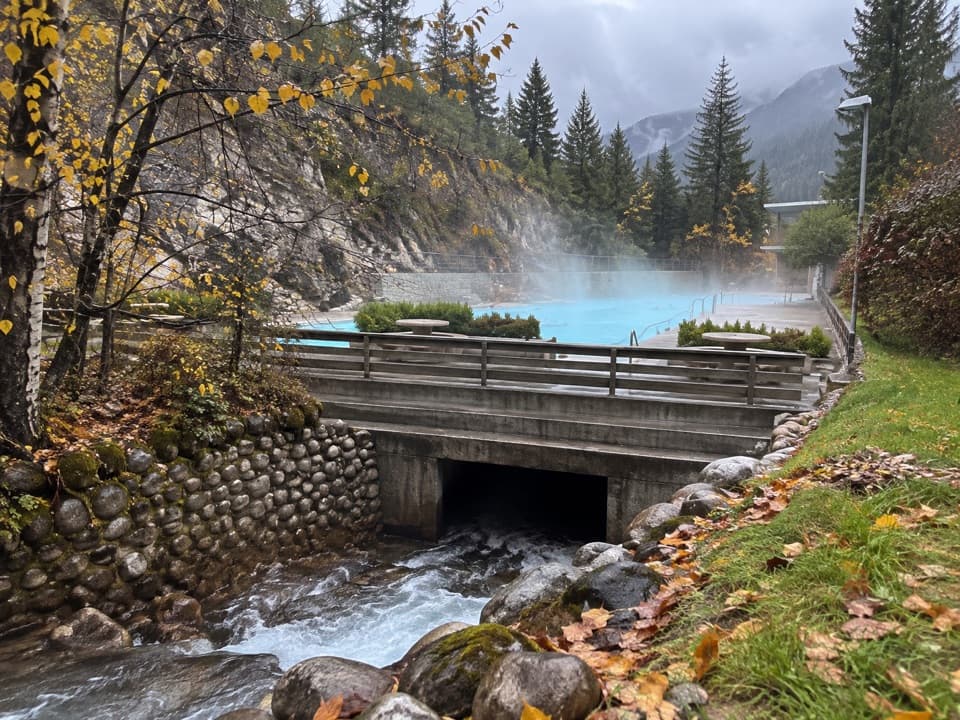 Sight · 5.2 km awayRadium Hot SpringsA mineral soak and cool pool in a heritage canyon bathhouse.
 Sight · 6.4 km awayKootenay Valley ViewpointA quick roadside panorama of the Mitchell and Vermilion ranges
 Sight · 6.5 km awaySinclair CanyonWatch Highway 93 thread the red cliffs at the southern gateway.
 Sight · 6.6 km awayCobb LakeA forest-fringed lake at the end of a two-hour walk.
 Campground · 7 km awayRedstreak CampgroundDeveloped base with showers, trail access, tents and oTENTiks.
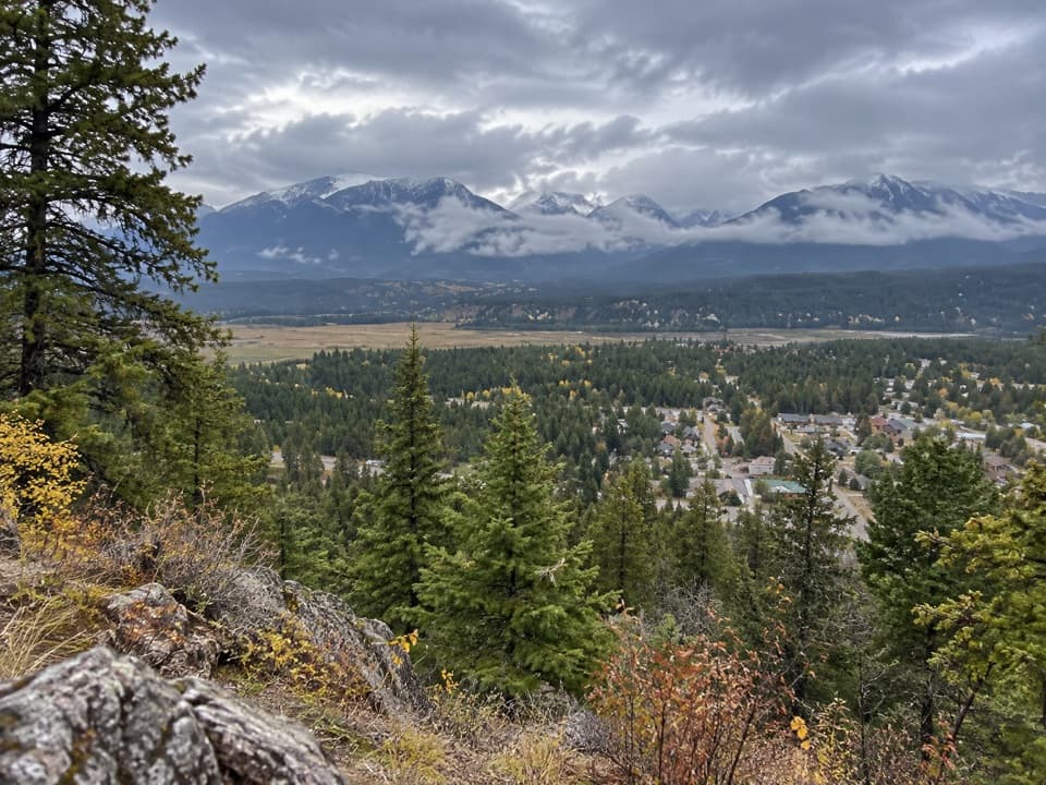 Scenic pullout · 7.6 km awayRedstreak Road LookoutA quick town view on the road up to Redstreak Campground.
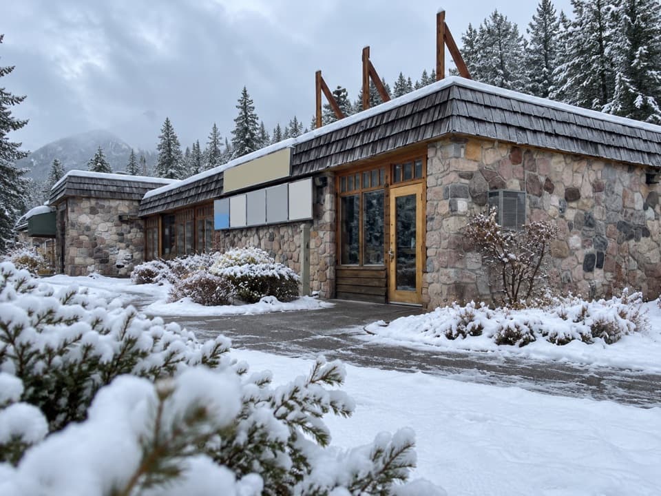 Visitor center · 7.8 km awayKootenay National Park Visitor CentreHelpful park advice and local displays in Radium Hot Springs.
Parkwolf’s Kootenay ranking

The audio tour guide for the drive, plus offline maps, trails, and wildlife heatmaps for when the signal drops.