Parking
Stock Lane car park in Grasmere, at NY 339 073. Toilets are at the car park. Buses 555 and 599 serve Grasmere from Ambleside and Keswick.
Lake District National Park, EN
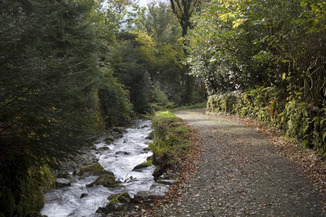
Follow a rushing gill to Elizabethan lead mine ruins above Grasmere
Overview
Map & elevation
Plan your hike

The highest, rockiest slopes around here are a summer buffet for grizzly bears.
Lake District Tour Guide
Parkwolf is a GPS audio tour guide for Lake District National Park. As you drive, it chimes in with what’s ahead: hidden gems, upcoming stops, history, geology, and wildlife, right through your car’s speakers.
Recorded for this trailhead
Grasmere: Riverside, Gingerbread and Lake“You're nearing Grasmere village, where you can combine a walk beside the River Rothay with a stop for the local gingerbread.”
Plays as you drive up to this trailhead in the Parkwolf Lake District Tour Guide.
More stories near here in the app
“Fantastic app with many points of information… It’s great to just turn on while you’re driving and it gives you an audio tour of the national Park. We love it!!!!”


Trail guide
This is an out-and-back audio trail, not a loop and not a summit. You walk from Stock Lane car park in Grasmere up beside Greenhead Gill to the old lead mines, then return by exactly the same route. Distance is quoted as the full round trip, about 3.5 miles (5.67 km), which is 1.76 miles (2.83 km) each way. Allow around 2.5 hours in total, including the four audio stops and the walk back. The climb to the turning point alone takes most people 60 to 70 minutes.
From the car park (grid reference NY 339 073) a permissive footpath heads north into the village. You thread through Grasmere on village roads, meet the A591 near The Swan, walk a short stretch of main road, then turn onto the small road just before The Swan and take the left fork uphill. Leave the road for a public footpath, follow a paved section to a gate and bridge at the edge of the fell, double back over a footbridge, and from there the character changes completely: it is Greenhead Gill and open hillside all the way up.
The four listening stops space themselves out neatly. A steep, narrow, uneven pull beside the stream brings you to a bench above a bridge (stop 2, NY 344 084). Higher up the route passes Rowantree Gill (stop 3, NY 349 085), then crosses rough ground into the mining landscape, with stop 4 just short of Grains Gill (NY 349 087). That is your turnaround. The payoff is the combination of water, small falls, quiet upland ground and visible industrial remains rather than a big panoramic view.
The authority calls it fairly strenuous, and a 6 out of 10 feels right. Two very different halves:
Boots with grip are the sensible choice, and walking poles help on the descent. The fell section is not suitable for wheelchairs or pushchairs. Assume no dependable shade and no water on the route, so carry your own. The published trail map is indicative only, so bring OS Explorer OL7 and know how to use it, especially if cloud comes down.
The upper valley crosses the Greenhead Gill Lead Mines Scheduled Monument. What survives is on the surface: spoil, workings and traces of both Elizabethan and Victorian lead mining, sitting in a landscape that looks pastoral until you start reading it. The audio stops are what make the difference here, turning lumps of stone and hollows in the ground into a story about who worked this valley and why.
This is protected archaeology. Look at the surface remains and leave them exactly as they are. Do not enter any workings, and stay well back from shafts, hollows and unstable edges, which can be obscured by vegetation and are not all fenced.
Pet rules for this route could not be confirmed, so check locally before bringing a dog rather than assuming either way.
If what you actually want is a classic tarn and wide fell views, nearby Alcock Tarn is the better pick. This trail is a more focused thing: industrial archaeology, a beautiful stream, and a story told in your ears. It does not reach Alcock Tarn or Heron Pike.
The main hazards are consistent rather than seasonal: slippery rock beside the water, a narrow footbridge, steep uneven ground where a slip matters, rough open terrain that hides ankle traps, and exposure once you are above the trees. Keep children close near the gill and around the mine remains. Turn back at the stop 4 turnaround; pushing on further takes you into rougher, less obvious terrain than this trail is designed for.
Wildlife
 81 sightingsRed DeerMost seen around 7 PMSighting map
 13 sightingsEurasian OtterMost seen around 6 AMSighting map
 76 sightingsOspreyMost seen around 8 AMSighting map
 51 sightingsEuropean BadgerMost seen around 8 PMSighting map
 233 sightingsMute SwanMost seen around 6 PMSighting map
 176 sightingsGrey HeronMost seen around 7 AMSighting map
Sighting maps show where each species has been reported across Lake District. Wildlife moves, so no sighting is guaranteed.
Keep exploring
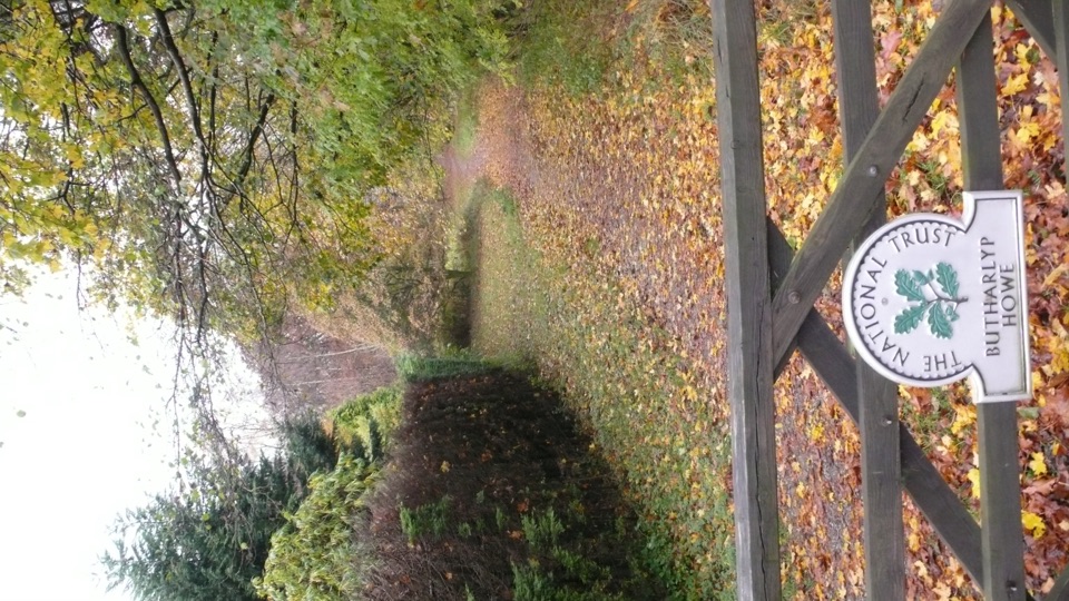 EasyGrasmere Jubilee Walk1.8 km · 1 hr · At the trailheadRiverside path, woodland climb and fell views in one village loop
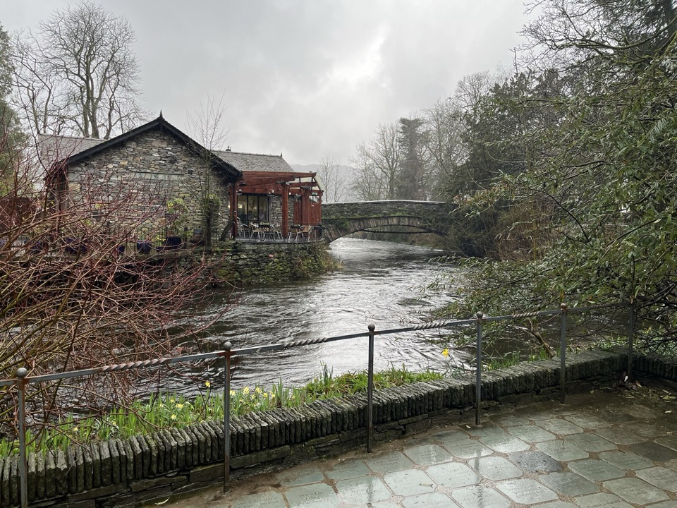 EasyGrasmere Riverside1.8 km · 1 hr · At the trailheadRiverside loop to Wordsworth's grave, level paths, an hour at easy pace
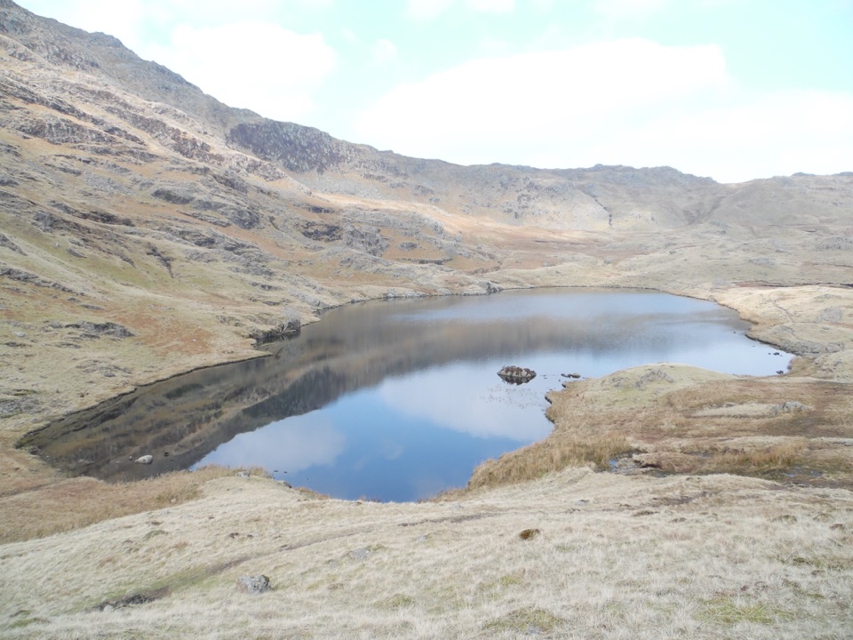 ChallengingEasedale Tarn, Codale Tarn and Tarn Crag13 km · 5.5 hr · 0.1 km awayTwo tarns, a rough scramble and a quiet ridge above Grasmere
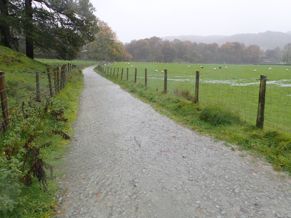 EasyGrasmere Trail8.7 km · 3 hr · 0.3 km awayLakeshore paths and woodland from Grasmere over to Ambleside, one way
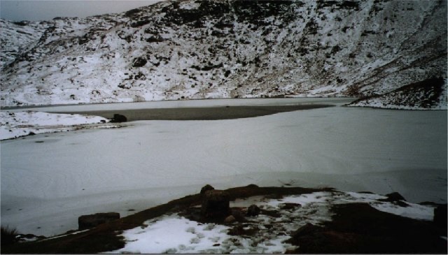 ModerateEasedale Tarn via Sourmilk Gill8.7 km · 3.3 hr · 0.3 km awayA lively waterfall climb to a quiet tarn beneath Tarn Crag
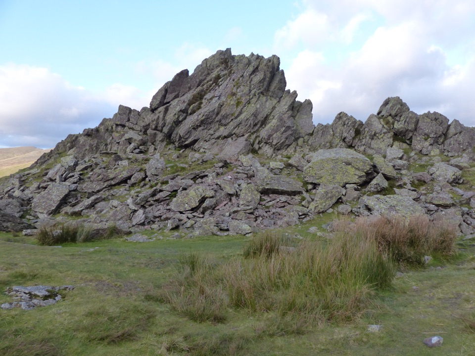 ChallengingSteel Fell, Calf Crag, Gibson Knott and Helm Crag14 km · 5.3 hr · 0.3 km awayFour boggy summits above Greenburn, ending on Helm Crag's Howitzer
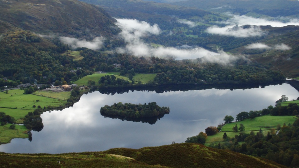 ModerateSilver How4.5 km · 2.3 hr · 0.3 km awayA short, steep climb to wide Grasmere and Langdale views
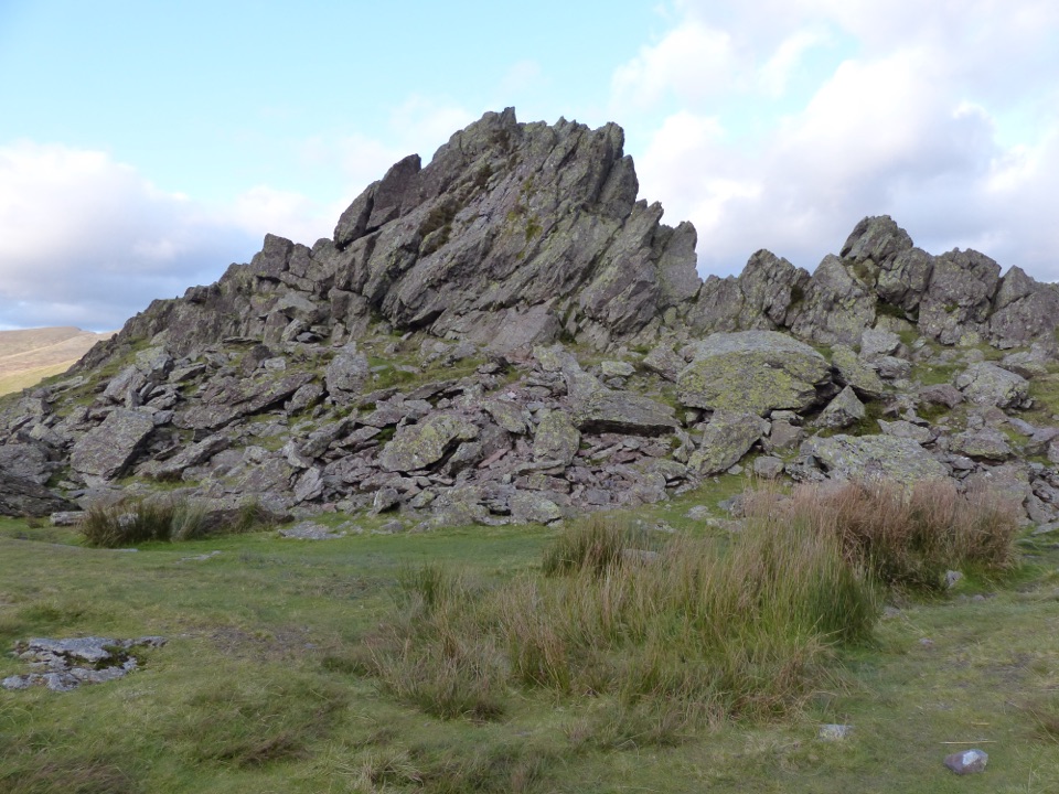 ModerateHelm Crag6.4 km · 3 hr · 0.4 km awaySteep stepped climb to the Lion and the Lamb above Grasmere
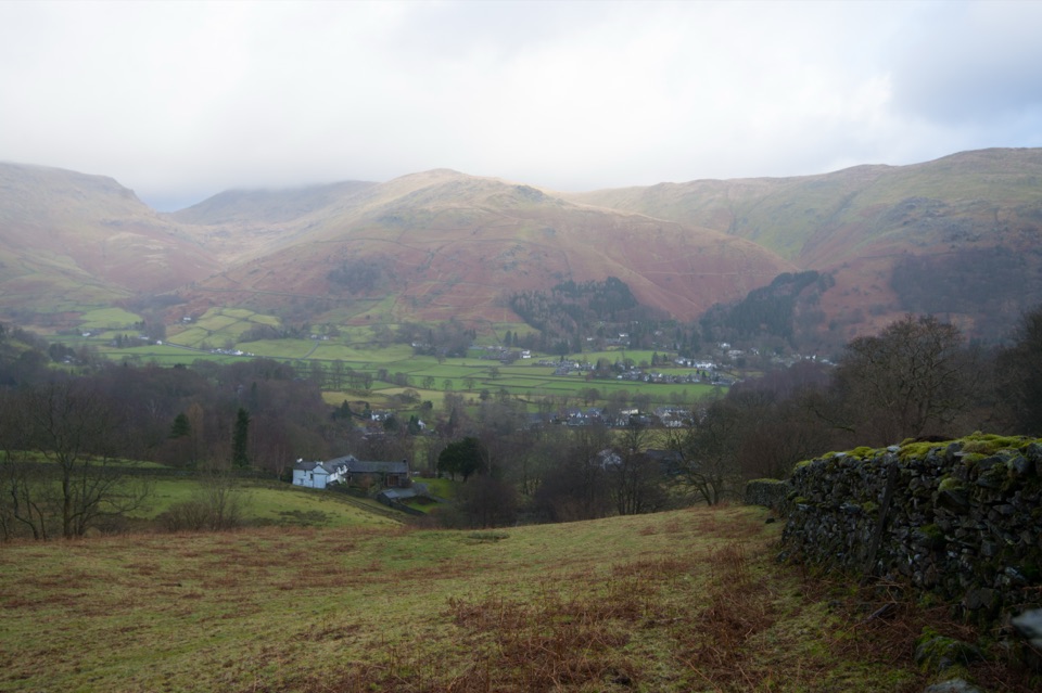 Sight · 0.3 km awayGrasmere VillageA slate-roofed fell village with Wordsworth, gingerbread, and walks
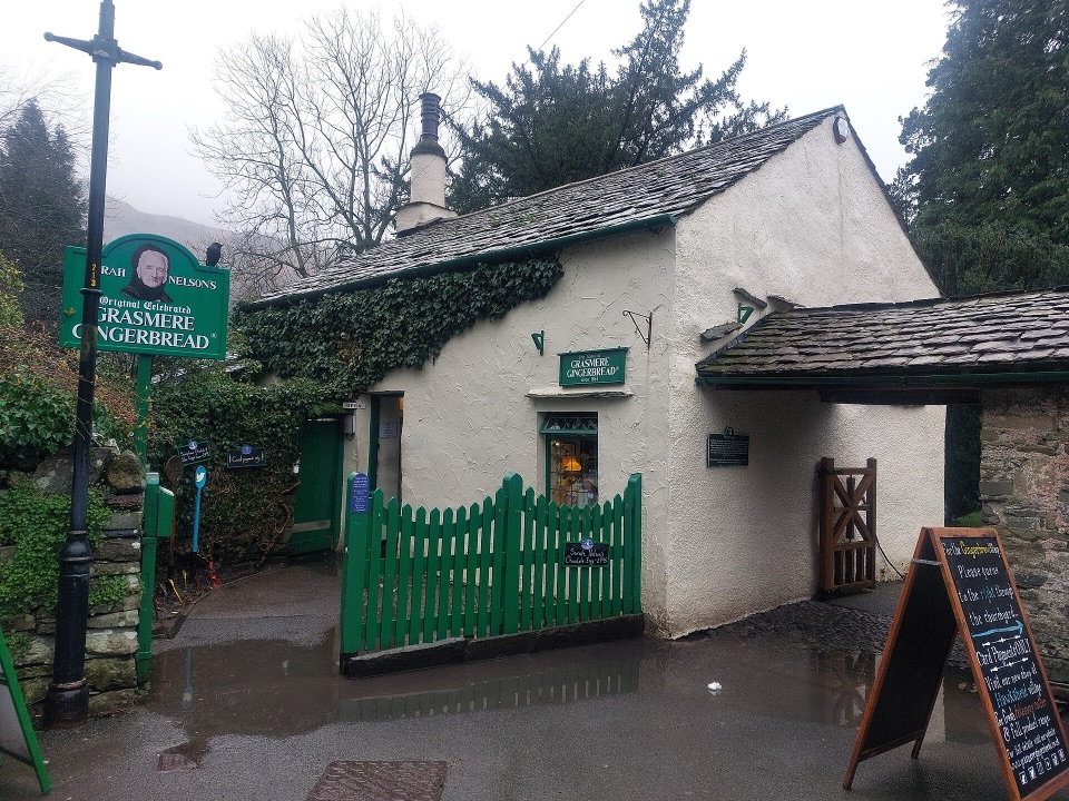 Store · 0.4 km awayGrasmere Gingerbread ShopA 1630 cottage where fresh gingerbread still draws a daily queue
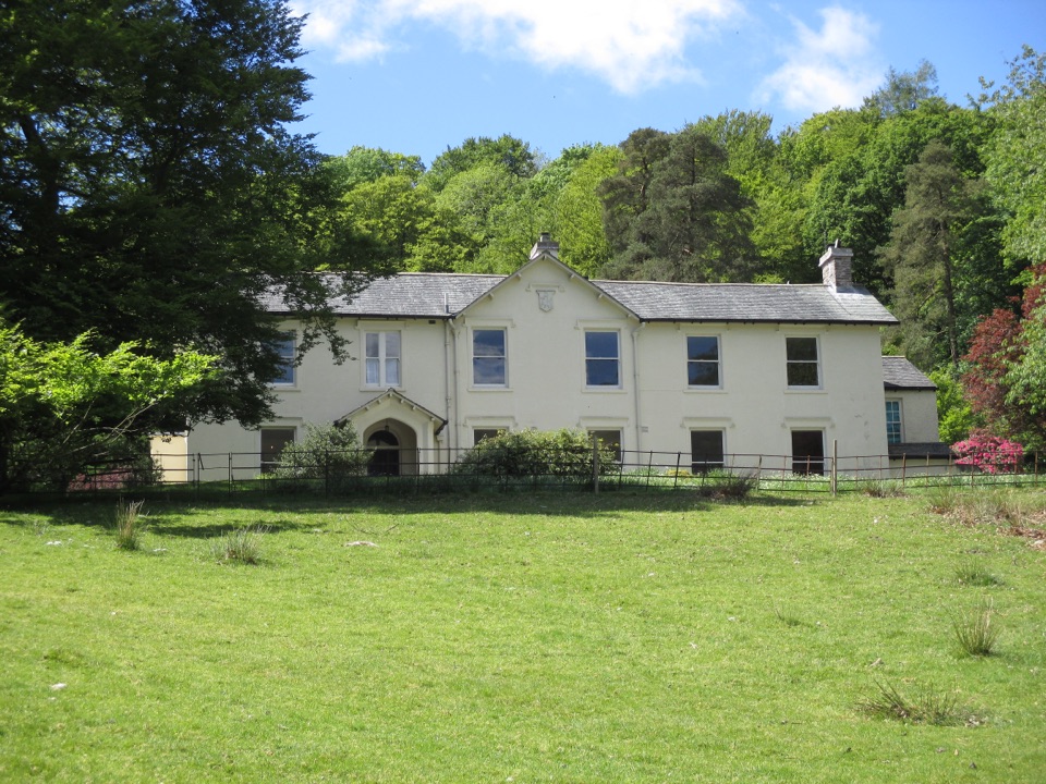 Sight · 0.5 km awayAllan BankWordsworth's villa pairs red squirrels with Grasmere views and woodland
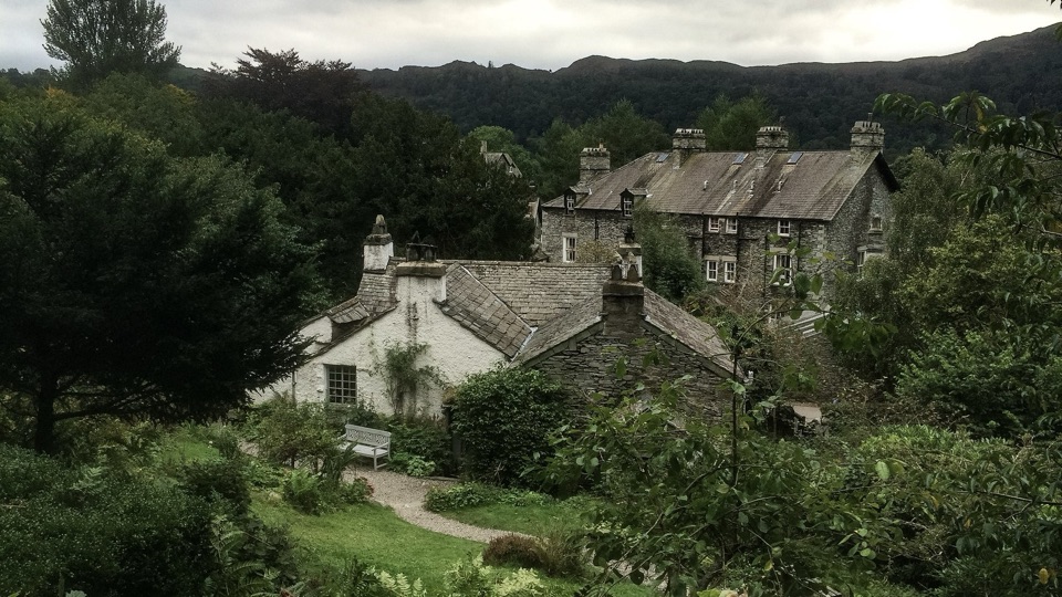 Sight · 0.8 km awayWordsworth GrasmereA poet's cottage, living garden, manuscripts, and wide valley views
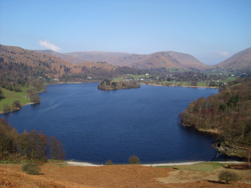 Sight · 1.3 km awayGrasmereA peaceful lake loop beneath the central Lake District fells
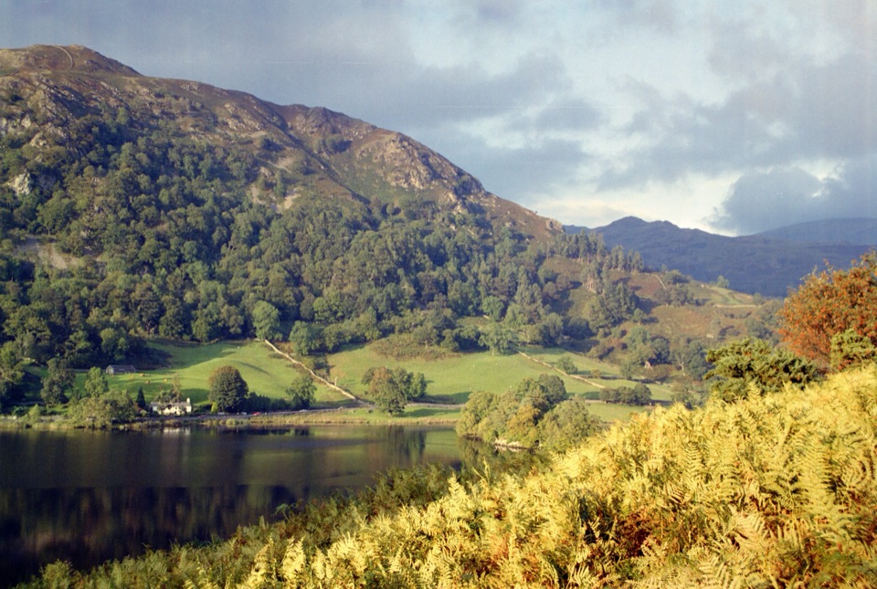 Sight · 2.3 km awayRydal WaterSmall lake, big reflections beneath Loughrigg Fell
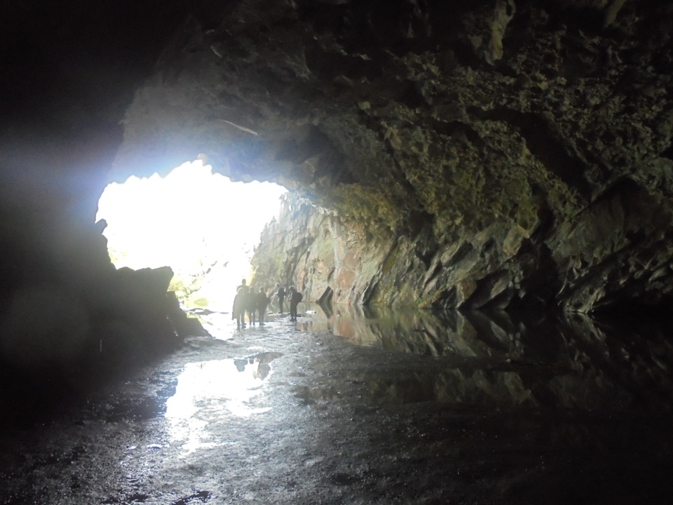 Sight · 2.6 km awayRydal CaveA former slate quarry opens onto water, stone, and fell views
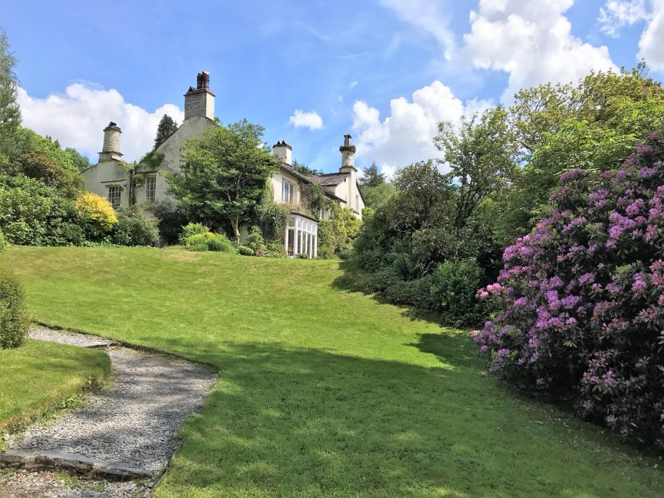 Sight · 2.9 km awayRydal MountWordsworth's final home, wrapped in five acres of garden and paths
Parkwolf’s Lake District ranking

The audio tour guide for the drive, plus offline maps, trails, and wildlife heatmaps for when the signal drops.





